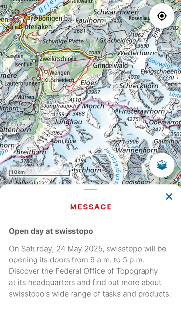
The SwissTopo app is THE app to have during hikes in Switzerland. Of course it features its own, best-in-the-world, maps and you can create routes, get estimates on remaining time/elevation/distance.
But of course it can still be improved. For me it would be the ability to create routes on the PC (instead of using Schweizmobil) and manage routes better. Basically a combination of SwissTopo and Schweizmobil would be super.
I met the person responsible for the SwissTopo app development today and this Saturday there is a Open House at the SwissTopo HQ and will probably go.
Which improvements would you like to see and I should relay to them?


