crowdotblack

In order: SWPA, birder, bike racer, skateboarder, punk rocker, DC, bike messenger, Portland, field biologist, photographer, rock climber, throat singer, shoe maker, web developer, sewer (clothes not poop), hiker, GIS analyst, gravel biker, some of these things I still do, many not. Still in Oregon, US

More or less

2025-05-27

@fractalkitty We just have all the normal Salem birds here today

2025-05-27

@fractalkitty You're not in Salem are you?

crowdotblack boosted:
Sieva 🚴🚇🏙️🌹Anibyl@social.coop
2025-05-26

strava but on the fediverse 🤔

2025-05-24

@axoplasm I mean if you just look at the tax lots, there's no gap. If it were public row, the city or county would have to dedicate as such. An easement will only usually provide access for authorized use (to access specific infrastructure for maintenance or inspection) unless the easement provided for public use, there's no public access.

They need to do this in the cemetery. Interesting BikePortland was just talking about this yesterday

2025-05-24

@axoplasm I don't see any ROW in that area, it does look like private property

2025-05-23

@enobacon Couple this with a taillight radar for passing speed and that's decent data

2025-05-22

@minego I have a coworker who asks questions, I immediatly answer and they don't check the answer for hours. I've stopped giving the answer and just say yes or no now.

Same coworker blocks out his calendar for to do items and not actual meetings or commitments. I don't bother checking if he's available for meetings and then let him reschecule it.

2025-05-22

On the same day, should be really relaxing

2025-05-22

I have 2 job interviews next week

2025-05-22

A guy I know, I'm not sure I'd call him a friend, I'm starting to suspect he might be an honest to goodness psychopath

2025-05-21

@minego If you ever discover one, I've always wanted a crow only feeder.

I know if you make it like a puzzle the crows will figure it out but you kind of need a lot of time to tame the crows and get them used to your puzzle. I've wondered what the weight difference is between crows and squirrels and if I could use that to differentiate.

2025-05-21

@minego Can you have a crow feeder that isn't simultaneously a squirrel feeder?

2025-05-21

@severud @jerzone A couple of my friends did this last year

2025-05-19

The unsubscribe links in Adguard DNS emails appear to be tracking links. Fun

2025-05-19

@thejtoken Thanks!

2025-05-19

Part tres

3/3

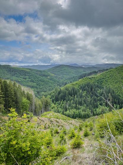
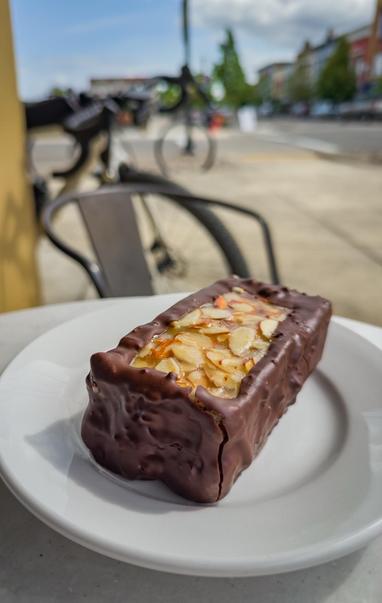
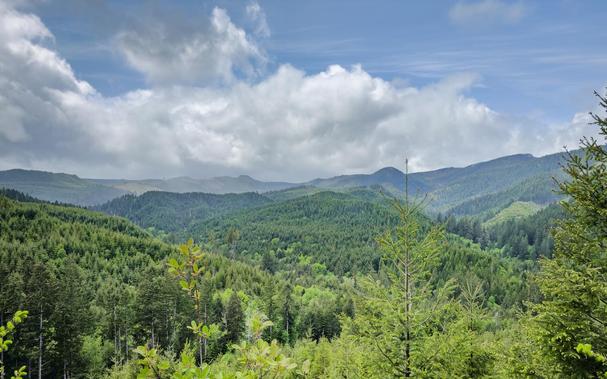
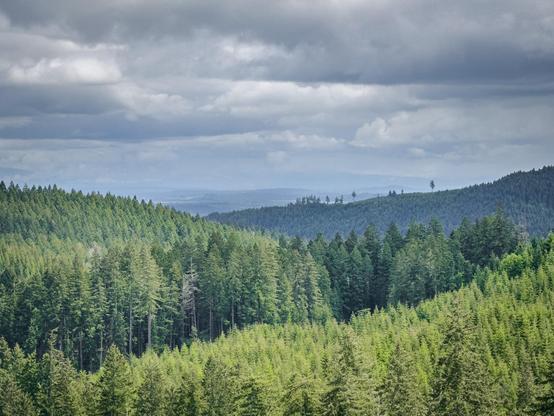
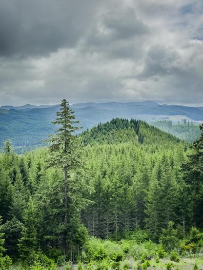
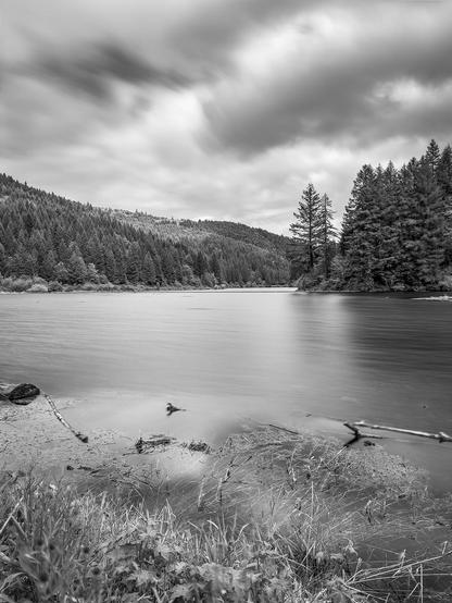
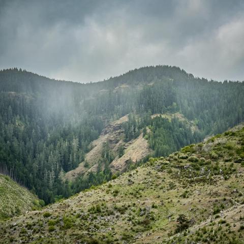
A black and white landscape featuring a serene river surrounded by dense forests and rolling hills under a cloudy sky. The foreground includes grasses and debris along the water's edge, contributing to the tranquil atmosphereA misty landscape featuring rolling hills covered in dense forests, under a cloudy sky. The scene includes a variety of tree types on the slopes, with some areas showing cleared landA panoramic view of lush green hills and valleys under a partly cloudy sky. Various shades of green vegetation populate the landscape, with patches of trees and some clearings, creating a serene natural settingA chocolate-covered dessert with a nutty filling, sitting on a white plate. In the background, a bicycle and urban scenery are visible
2025-05-19

Part deux

2/x

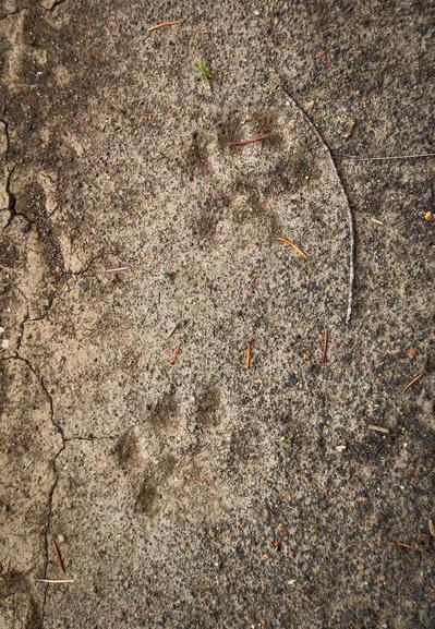
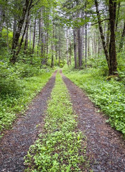
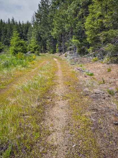
A panoramic view of lush green mountains and forests under a partly cloudy sky. The scene features various shades of green from the trees, with rolling hills in the backgroundA panoramic view of lush, green forests extending over rolling hills under a cloudy sky. The landscape features a variety of trees in different shades of green, with distant mountains visible in the backgroundMountain lion tracks in dried mudA dirt path winds through a dense forest, flanked by tall trees and lush greenery. The path is partially overgrown with grass and small plants, creating a tranquil, natural setting.
2025-05-19

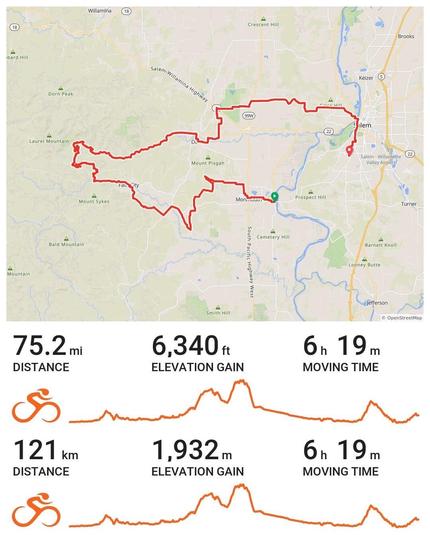
Yesterday's #gravel #adventure. Never got rained on but the #weather gave it an edge

I didn't want to go home, but I kinda ran out of time, whatever that means

#BikeTooter #bikes #bike #cycling

1/x

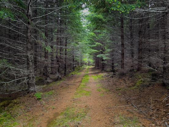
An image of a cycling route map featuring a red line showing a 75.2-mile (121 km) ride with a total elevation gain of 6,340 feet (1,932 m) and moving time of 6:19.  The image includes an elevation profileA gravel road traverses through a densely forested area. The scene features a mix of green foliage and bare branches, with the ground covered in pine needles and patches of moss. Natural light filters through the canopy, creating a moody atmosphereA scenic view of a dense evergreen forest with layered mountains in the background under a cloudy skyA dirt road covered in small flowers, surrounded by greenery, leading through a forested area with tall fir trees and patches of wildflowers on the sides. The sky is partly cloudy.
2025-05-18

I'm seeing an increase in posts with text in images on Mastodon

This isn't a Meta product

If you feel you need to do this to get engagement, please go back to Meta

Just post what you want to say in plain text

You don't care, but l'll block you if you do it a lot

I'm seeing an increase in posts with text in images on Mastodon
This isn't a Meta product
If you feel you need to do this to get engagement, please go back to Meta
Just post what you want to say in plain text
You don't care, but l'll block you if you do it a lot
Client Info

Server: https://mastodon.social
Version: 2025.04
Repository: https://github.com/cyevgeniy/lmst