Oceanstate Job Lots is recalling Calipso Combi and Tiller & Rowe Growing Table-Mini Greenhouses and Raised Garden Beds due to overheating with creation of fire and burn hazards. #oceanstate #greenhouse #gardenbed #overheating #fire #burns #recall
https://www.instagram.com/p/C3tVB-ZLEmr/
#OceanState
New server, new #introduction! I'm part of #Waze's community of volunteer map editors and specifically manage the map for the entire state of #RhodeIsland. I also work closely with #RIDOT to announce road closures throughout the state. If you see any issues with the Waze map in your travels around the #OceanState, be sure to let me know. Happy Wazing!
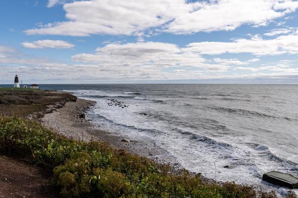
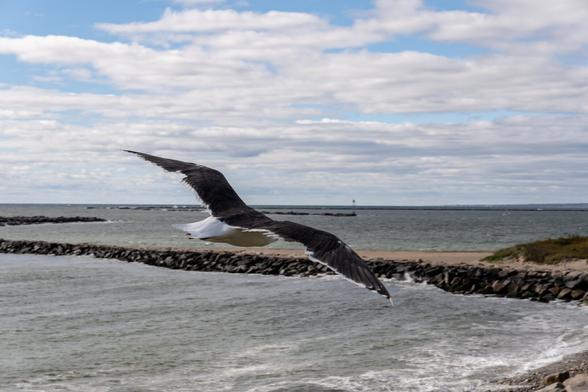
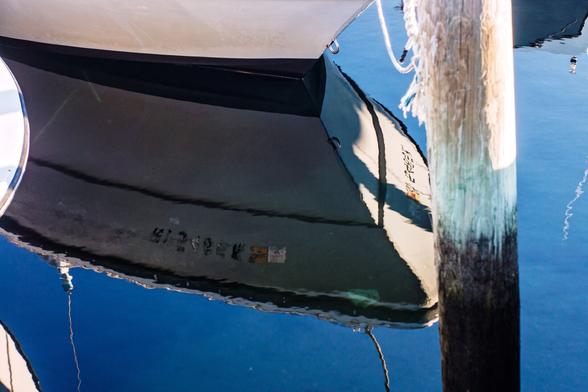
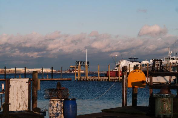
#Sony #SonyAlpha #SonyA6600 #Sigma1850f28 #SigmaLens #Photography #ColorPhotography #RhodeIsland #PointJudith #Narragansett #SouthCountyRI #BlockIslandSound #NewEngland #OceanState
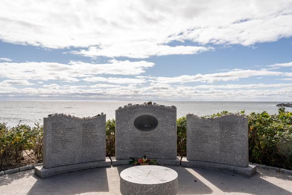
#Sony #SonyAlpha #SonyA6600 #Sigma1850f28 #SigmaLens #Photography #ColorPhotography #RhodeIsland #PointJudith #Narragansett #SouthCountyRI #BlockIslandSound #BlockIsland #NewEngland #OceanState #Memorial
#Introduction time! I'm part of the #Waze map editing community, and help maintain the map for the state of #RhodeIsland and the surrounding area. I help keep the map up-to-date, as well as deal with real-time closures and weather events. If you see any issues with the map as you drive through the #OceanState, be sure to let me know! Happy Wazing!
When the ocean wanders into the state. #OceanState
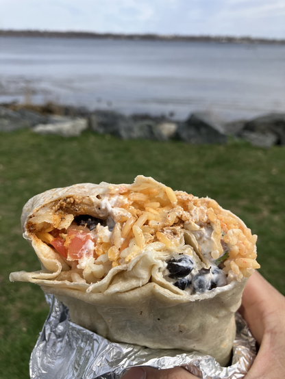
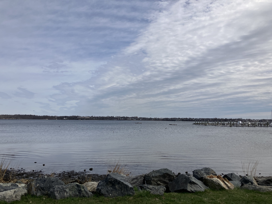
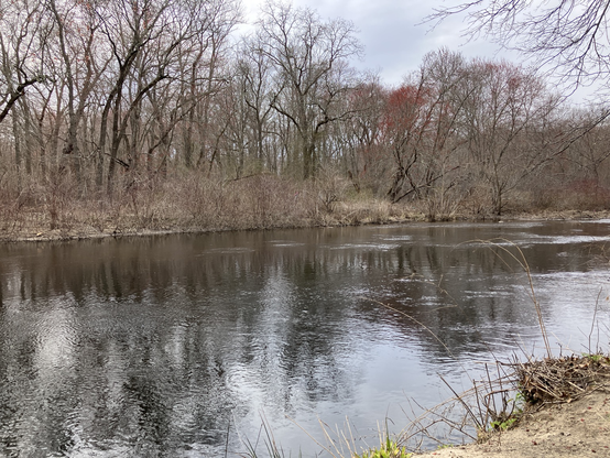
Went on a transit trip to Cranston, Rhode Island! 🤓🚌 Visited two green spaces: Stillhouse Cove and Pawtuxet Oxboes 🌳🌊 Also enjoyed a soyrizo and potato burrito for lunch at Poco Loco Tacos🌯😋 #RhodeIsland #Cranston #greenspace #OceanState #NewEngland #parksmakelifebetter
Created this collage to spotlight some green/open spaces in Rhode Island that are accessible by RIPTA bus service! 🤓🚌⚓️🌳🌊 #transittoparks #parksmakelifebetter #RhodeIsland #RIPTA #OceanState
Finally had my very first Zeppole! It’s an Italian pastry that’s usually eaten on Saint Joseph’s Day (March 19th)! It’s like a cream puff made from Choux pastry dough. Got mines from LaSalle Bakery in Providence, RI! 😋🇮🇹⚓️ #Zeppole #Providence #RhodeIsland #OceanState #LittleRhody #PVD
When your birthday is the day after Pi Day!! 😎 Blueberry Crumble and Kentucky Bourbon pies from PVD Pies in Pawtucket, RI! 2️⃣3️⃣🎂 🥧 #RhodeIsland #OceanState #birthday #NewEngland
#BlackAndWhite #BlackAndWhitePhotography #Photography #Film #FilmPhotography #Agfa #AgfaFilm #AgfaScala #AgfaScala200 #Minolta #MinoltaMaxxum #MinoltaDynax #MinoltaAMount #MinoltaMaxxum600si #MinoltaDynax600si #MinoltaLens #minolta2885f3545 #WickfordRI #NorthKingstown #RhodeIsland #OceanState #NewEngland #Bridge #RainbowArch
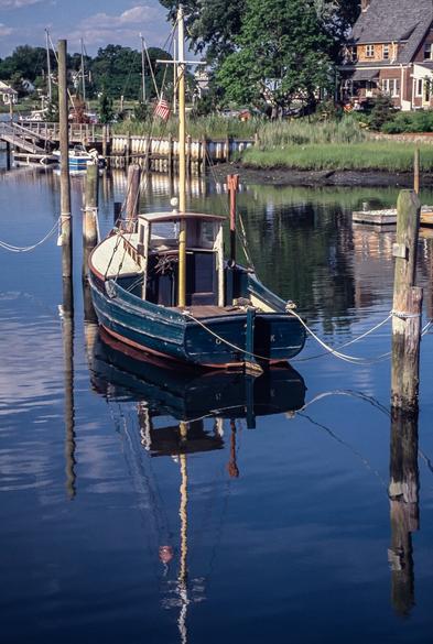
#DXOFilmPack #Sony #SonyAlpha #SonyA65 #MinoltaMaxxum #MinoltaDynax #MinoltaAMount #SonyAMount #MinoltaLens #Minolta2885f3545 #Photography #ColorPhotography #WickfordRI #NorthKingstown #NarragansettBay #RhodeIsland #NewEngland #OceanState #Boats #FlashbackFriday
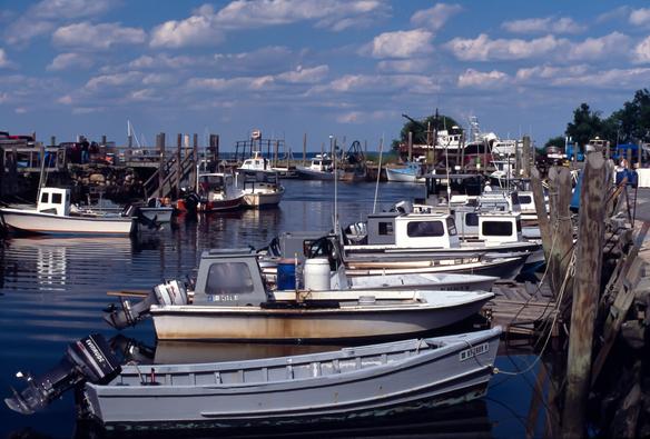
#Minolta #MinoltaMaxxum #MinoltaDynax #MinoltaMaxxum600si #MinoltaDynax600si ##MinoltaAMount #SonyAMount #MinoltaLens #Minolta2885f3545 #FilmPhotography #Photography #SlideFilm #ColorPhotography #Agfa #AgfaFilm #AgfaCTPrecisa100 #AgfaCTPrecisa #WickfordRI #NorthKingstown #NarragansettBay #RhodeIsland #NewEngland #OceanState #Boats
#Minolta #MinoltaMaxxum #MinoltaDynax #MinoltaMaxxum600si #MinoltaDynax600si ##MinoltaAMount #SonyAMount #MinoltaLens #Minolta2885f3545 #FilmPhotography #Photography #SlideFilm #ColorPhotography #Agfa #AgfaFilm #AgfaCTPrecisa100 #AgfaCTPrecisa #WickfordRI #NorthKingstown #NarragansettBay #RhodeIsland #NewEngland #OceanState #Boats
#Canon #CanonPowerShot #CanonPowerShotG11 #DXOFilmPack #Photography #ColorPhotography #WickfordRI #NarragansettBay #NorthKingstown #RhodeIsland #OceanState #NewEngland #Boats #SeaGull
#WickfordRI #RhodeIsland #NarragansettBay #SouthCountyRI #OceanState #NewEngland #minolta #KonicaMinolta #Maxxum7D #MinoltaMaxxum #MinoltaDynax #MinoltaAMount #SonyAMount #Tamron #TamronLens #Tamron28200f3856XR #DXOFilmPack
One of my favorite views in Downtown Providence! 🥰🏙️🌊⚓️ #Providence #PVD #RhodeIsland #city #NewEngland #OceanState
