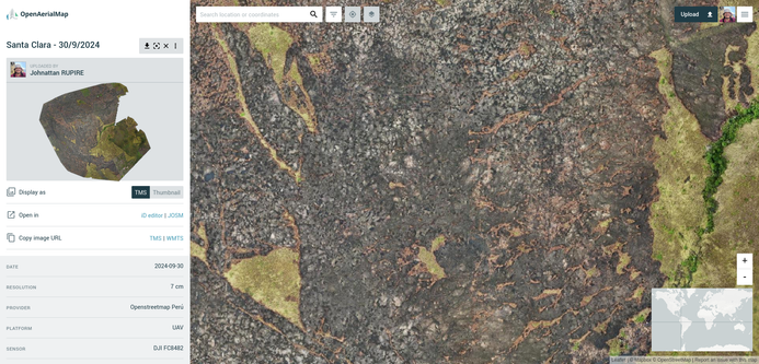
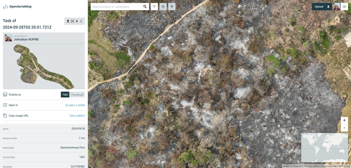
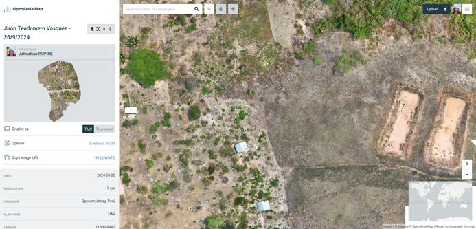
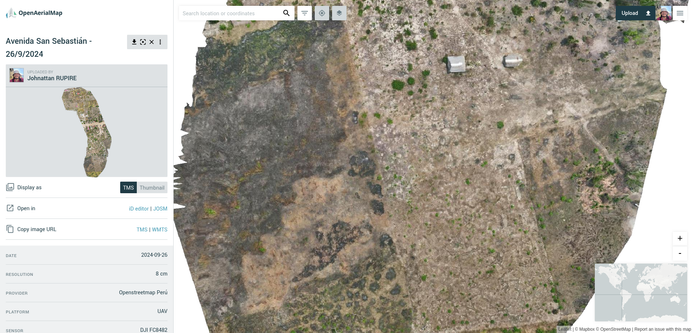
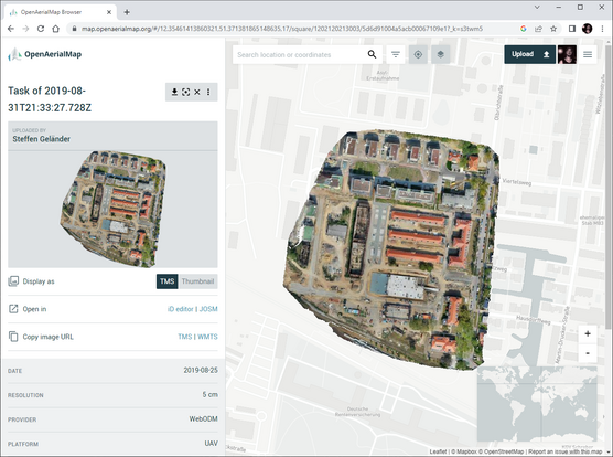
I am thinking of doing some aerial mapping for OSM and i borrowed a DJI Mavic mini drone for a couple of weeks. I found out manualy flying the drone does not produce the best results and it seems i need an app to plan missions and choose the areas.
I do not have a budget for this so im looking for any free tools that will make the mapping proces easier and produce better quality imagery. Any tips and tricks will be very appreciated!
P.s im on Linux and Android. Windows and IOS tools don't really help.
