meine vorstellung ist: gebraucht, um die 40 euro, und soll zur navigation eingesetzt werden, bspw. mit #opencpn.
#OpenCPN
Q on OpenCPN. How do I get boat navigation vector maps for Päijänne-Keitele? Heard one could download from Traficom the raw data and then somehow convert it to OpenCPN format? Anyone here with experience? Or even ready-made stuff? #opencpn #päijänne #keitele #vectormaps #navigation #boat #boating
OpenCPN question. How do I get boat navigation vector maps for Päijänne-Keitele?
Heard one could download from Traficom the raw data and then somehow convert to the OpenCPN format? Anyone here with experience? Or even ready-made stuff?
#opencpn #päijänne #keitele #vectormaps #navigation #boat #boating
#OpenCPN (Chart Plotter #Navigation) https://opencpn.org/index.html
Very cool stuff! I was hoping that something like this was out there, but, I kept hearing references to Navionics and Garmin (ugh!), and never to something open. I am delighted to discover that I won't be limited to proprietary, locked down, software.
There's even a #NixPkg for it https://search.nixos.org/packages?show=opencpn&type=packages&query=opencpn
Kann mir von der #Segel - Bubble jemand was empfehlen:
Ich habe auf dem Laptop #opencpn eingerichtet, um bei wechselnden Charterbooten meine eigene Dokumentation der Törns und der Törnplanung zu haben.
GPS-Antenne via USB ist vorhanden, ich such nur jetzt noch nach einem preisgünstigen, portablen Weg, auch AIS-Informationen in mein System zu bekommen. (Opencpn ist kompatibel mit USB-Geräten, die beispielsweise nach NMEA Standard übertragen). Hat jemand nen guten Hardware-Tipp?
Any #opencpn users out there that could explain to me why I can't use 4 shades of depths and I'm unable to have depth areas deeper than 5 m shaded white? Finnish oeSENC charts.
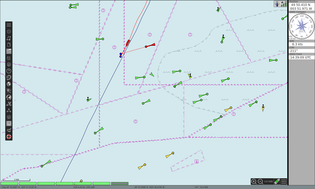
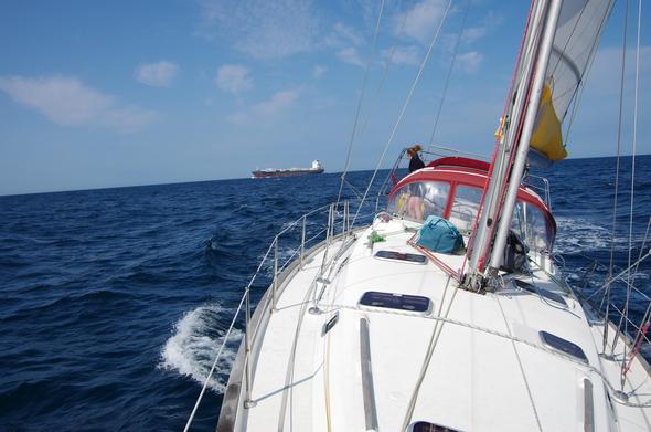
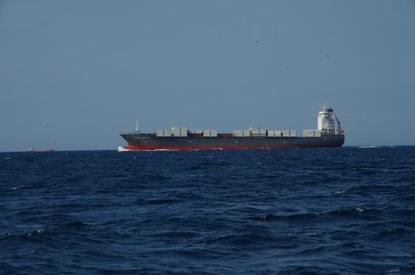
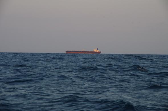
Traversée de la manche en voilier: une trottinette sur l'autoroute?
Ce trajet est propulsé par le vent et opencpn, remarquable logiciel de navigation gratuit et open-source.
this is absolutely fabulous for charting a course and tracking your position using #OpenCPN using a #raspberrypi
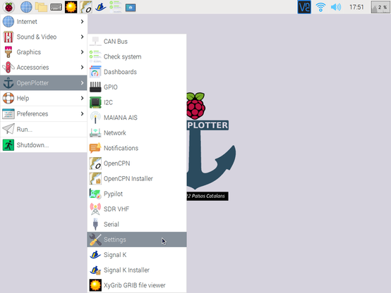
You can either use the Raspberry OS images or customize your image with the OpenPlotter À la Carte tool https://openmarine.net/openplotter
Essential Open Source Software for Boat Owners #opencpn #OpenSource #navigation
@governa very useful for those of us looking to use #RaspberryPi5 on boats for navigation etc with #OpenCPN
It does mean that for @SustainableSailing we will be using #Debian as our first choice distribution.
Bruce also runs this which might be handy:
chartlocker.brucebalan.com/
#MBTiles #OpenCPN #charting
»OpenCPN und Seekarten«
Neue Episoden von "Schiff-Captain-Mannschaft" über die Navigationssoftware OpenCPN.
#podcast #segeln #opencpn #seekarten #software #navigation
https://www.freeskippers.at/2023/02/opencpn-und-seekarten-2/
tracking #marinetraffic in the #straitofjuandefuca using a #raspberrypi + #rtlsdr + youloop antenna
data visualized with #opencpn
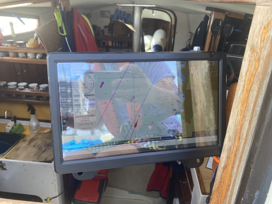
Chart plotter running OpenCPN on a Raspberry Pi is working great. Have on big screen inside, at the chart table and a smaller touch screen outside. #cruisingLife #raspberryPi #opencpn
I'm hoping that we can connect with people about #RaspberryPi #OpenCPN and #SignalK on here.
We want these to be at the heart of tech on our boat for #Sustainable #Sailing #Navigation for cost, freedom and reliability.
OpenCPN is cross-platform free and open source Chart Plotter Navigation software developed by sailors https://squeet.me/objects/962c3e1002936553e1187df818ff26b4ad91c296
