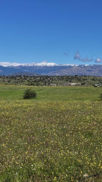
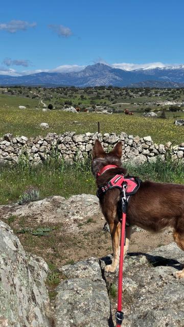
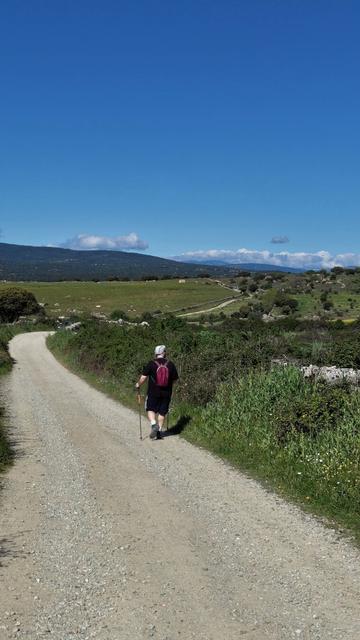
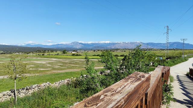
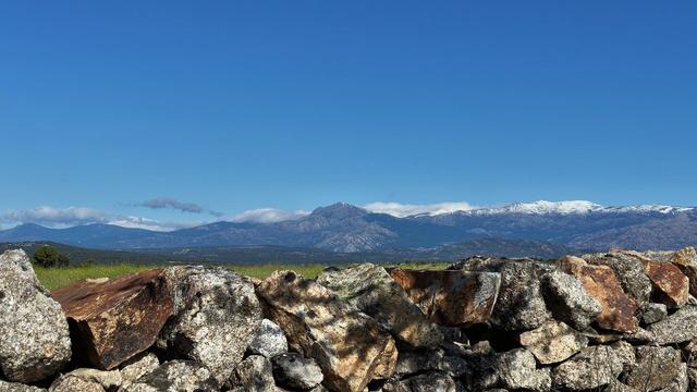
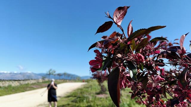
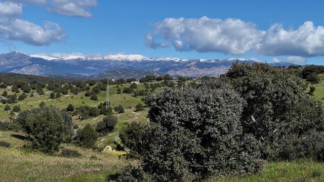
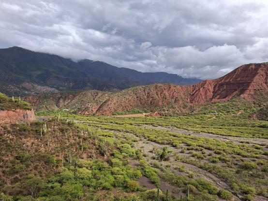
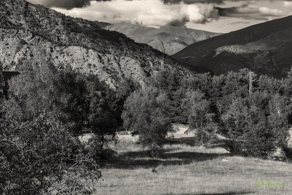
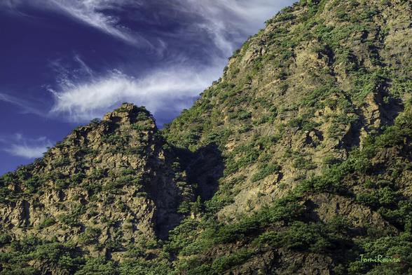
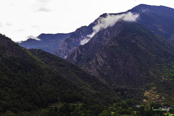
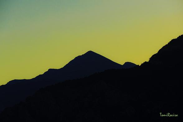
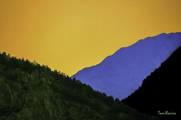
#Valleys
.
.
.
#photography #spain #españa #madrid #colmenarviejo #sierra #sierrademadrid #travel #hiking #senderismo #nature #natura #montañas #valle #mountains #valleys #spring #primavera #perro
.
.
.
#photography #spain #españa #madrid #colmenarviejo #sierra #sierrademadrid #travel #hiking #senderismo #nature #natura #montañas #valle #mountains #valleys #spring #primavera #perro
Planning for cities with linear skylines
Shown below are some of the cities around the globe that have linear skylines. While these can be visually impressive, especially when set as a backdrop against the coastline or mountains, they also can be challenging from a planning and infrastructure perspective, unless they are adapted properly to address this unique urban landform.
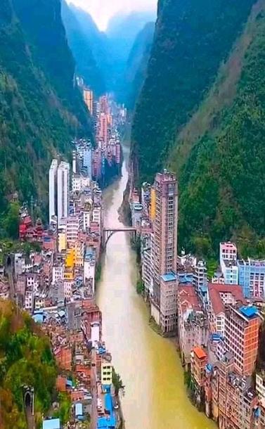
World’s narrowest city of Yanjing, China – Source: amapnerd.comBear in mind, that linear skylines are not just a coastal or narrow valley phenomenon. Las Vegas is perfect example of an inland city with a very linear skyline that resulted in part due to how the city developed as a desert oasis along a single major corridor. Other examples may result from topographic settings like narrow mountain valleys, river valleys, peninsulas, or islands.
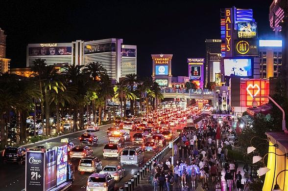
The length of linear skylines can tend to dissuade walking, as the distances between sites can be intimidating. Furthermore, if the focus is too concentrated, primary streets that run the length of the skyline, such as the Las Vegas Strip, can become overwhelmed by traffic and people.
Traffic and people along the Las Vegas Strip – Source: nevadaappeal.comThat is why it is important to have viable and efficient alternatives — light rail, buses, bicycling routes, trollies, or as Las Vegas has developed, a monorail line. Safe crossings of busy thoroughfares is also needed. As the image are shows, overpasses or tunnels for pedestrians may be necessary. Otherwise, crosswalks must be set up to allow time for safe movement across the avenues.
In some ways, a linear design can be efficient when it comes to utilities, because they can be focused in a narrower area. However, they must constructed of sufficient size and scale to handle the concentrated needs for water, sewer, electricity, gas, etc. Otherwise, the streets and roads may be constantly torn up to increase capacity. Utility managers will also need to address verticality of the service area, to assure water pressure and other services are maintained at their highest levels.
Another important factor to consider is public safety, particularly from fire-fighting and emergency response standpoints. By their very nature, linear skylines tend to be more dense and as a result taller. This is very evident from the photos provided below. How public safety services address the inherently denser and taller structures is critically important for assuring public safety is always a top priority for avoiding potential tragedies.
Another factor to consider for tourist-oriented linear skyline is the variations between on and off-season. Any and all planning efforts will need to take this into account as the extent of impacts can fluctuate greatly over a calendar year.
Neom – Source: dezeen.comWhat is likely to be the most linear (and perhaps vertical) skyline of them all is the controversial 106 mile long, new city of Neom being constructed in Saudi Arabia (see images above and below. How this project will eventually turn out and whether it will achieve the stated goals of livability and sustainability remains to be seen. If it is successful, it may be a defining development for the future. Otherwise, it could be a precautionary tale to avoid excepting very specialized circumstances.
Inside Neom – Source: dezeen.comAs has been noted throughout this post, linear skylines can have their challenges. How effectively these are addressed will help determine whether or not the infrastructure and services can meet the concentrated demand. At the same time, the opportunities are not quite as apparent. To this retired planner, ambitious individual developments that are overly lengthy or excessively vertical may not achieve their “lofty” goals. Similarly, it remains to be seen how efficient and effective such a narrow, dense and lengthy urban form can be.
Peace!
——-
Las Vegas, Nevada – centered along the Strip (Las Vegas Boulevard)
Las Vegas – Source: paraisoisland.comSurfers Paradise, Queensland, Australia and other beachfront cities – centered along the beachfront
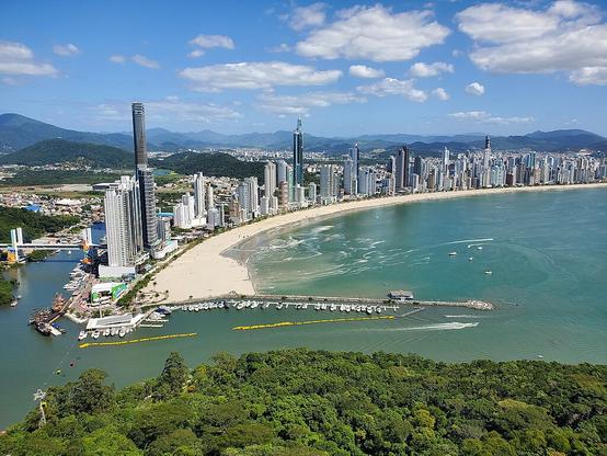
Surfers Paradise – Source: kayak.comBalneário Camboriú, Brazil
Balneário Camboriú – Source: en.wikipedia.orgMiami Beach, Florida
Miami Beach – Source: nationalgeographic.comDaytona Beach
Daytona Beach – Source: touristauthority.comVirginia Beach, Virginia
Virginia Beach – Source: southsidedaily.comOcean City, Maryland
Ocean City – Source: century21newhorizon.comCancun, Mexico
Cancun – Source: flipboard.comGrand Rapids, Michigan – the tallest buildings are centered along the Grand River
Grand Rapids – Source: hopskipdrive.comPikeville, Kentucky – a very unique linear “semi-circle” in the Appalachian Mountains.
Pikeville – Source: reddit.comDanang, Vietnam – concentrated along both the river and along the coastline at My Khe Beach
Danang – Source: danangprivatecar.com My Khe Beach in Danang – Source: baodanang.com#BalneárioCamboriú #Cancun #cities #coastlines #Danang #DaytonaBeach #downtown #geography #GrandRapids #history #landUse #LasVegas #linearSkylines #MiamiBeach #Neom #OceanCity #Pikeville #planning #skylines #SurfersParadise #topography #transit #transportation #travel #valleys #VirginiaBeach #walking #Yanjing
#mountains #valleys #himalayas #uttarakhand #india
Upon a rocky outcrop
overlooking the valley
perched, eyes closed, arms outstretched like a cross
I am the figurehead
of a ship with countless masts.
#poem #poetry #mountains #valleys #nature #beauty #forest #sensation #writings #jlbouzou
(August 1983)
(Foto scanned from slide: © Rüdiger Benninghaus)
#Landschaften, #landscapes, #Berge, #mountains, #Flußtäler, #valleys, #Çoruh, #Artvin, #Turkey, #Türkei
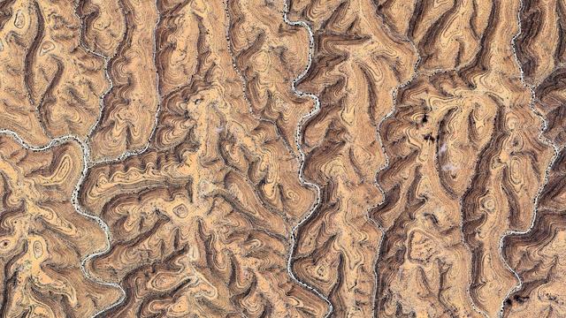
Somalia
🌍 : https://maps.app.goo.gl/fT9WjytPzaquxuwV6
4K link : https://i.imgur.com/R5Ywkhs.jpeg
#Somalia #GoogleEarth #SatelliteView #AerialPhotography #abstract #texture #pattern #desert #fractal #tendrils #relief #valleys #strates #rivers #landscape #atlas #EarthArt #EarthFromAbove #EarthFromSpace #dji #MastoArt #Mapstodon
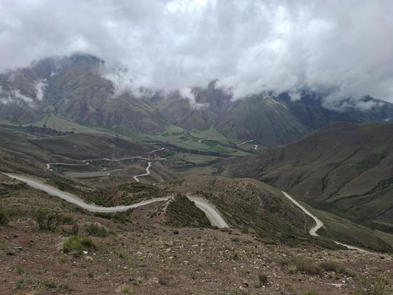
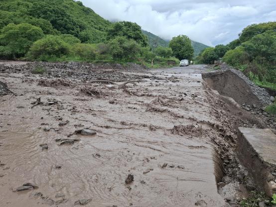
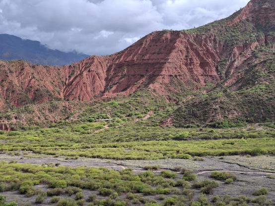
Ruta 33 offered some obsticles in the form of flooding, but we are getting into rain season so it's not totally u surprising.
Nipped out for just under 70km with a mate yesterday, the first long ride on the new bike. About 90% of it was off-road; down towpaths, old railway lives and other tracks. Great fun, and we missed the rain. Mind you, I could have done without the relentless 14-16%ers in the last 5km! I've never been more happy to have a huge sprocket on the back!
#BikeTooter #BikeToot #NorthRoadCycles #GraviTi #Ti #Naomhán #titanium #gravel #eire #ireland #cycling #OutsideIsFree #FromWhereIRide #bicycle #GravelBike #hills #Valleys
"Enjoying The View" ... hand painted, digitally, in Corel Painter from a photo I took up at our cabin in the #LaurelHighlands of #CentralPennsylvania in May of this year. Lots of artistic license taken ... 😄
At my website as lots of wall art options, puzzles, coffee mugs and more: https://lois-bryan.pixels.com/featured/enjoying-the-view-lois-bryan.html
#art #giftideas #fall #autumn #BlueKnob #BlueKnobAllSeasonsResort #mountains #valleys #LoisBryan #NotAi #digitallyhandpainted
A4 mounted prints available
My paintings of the Valleys
£10 each or £15 with UK postage
#Austria the country of #mountains and #valleys.
Le Montblanc, vu de la route de la Flégere Zürich, Switzerland : Photoglob Company, ca. 1890-1906
ca. 1890-1906 Mountains,Valleys,Blanc, Mont (France and Italy),France. Chamonix-Mont-Blanc
#LeMontblanc #FlégereZürich #Switzerland #PhotoglobCompany #Valleys #Blanc #France #Italy),France #Chamonix-Mont-Blanc #MontBlanc #Europe #Italy #thePhotoglobCompany #Flégère #Zurich #photography #historicalPhotos
Le Montblanc, vu de la route de la Flégere Zürich, Switzerland : Photoglob Company, ca. 1890-1906
ca. 1890-1906 Mountains,Valleys,Blanc, Mont (France and Italy),France. Chamonix-Mont-Blanc
#LeMontblanc #FlégereZürich #Switzerland #PhotoglobCompany #Valleys #Blanc #France #Italy),France #Chamonix-Mont-Blanc #MontBlanc #delaFlégère #Zürich #thePhotoglobCompany #Zurich #photography #historicalPhotos

