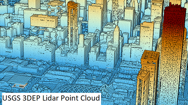
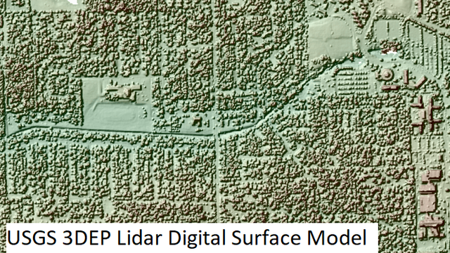
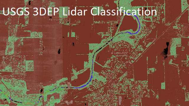
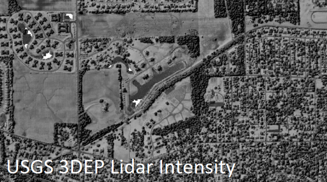
USGS 3DEP LiDAR Collection @ Microsoft
--
https://planetarycomputer.microsoft.com/dataset/group/3dep-LiDAR <-- Microsoft data / use case portal
--
“To respond to growing needs for high-quality elevation data, the goal of 3DEP is to complete acquisition of nationwide lidar (IfSAR in AK) to provide the first-ever national baseline of consistent high-resolution topographic elevation data – both bare earth and 3D point clouds. This dataset provides the raw 3D point clouds in the Cloud Optimized Point Cloud format, and various derived products as Cloud Optimized GeoTIFFs…”
#GIS #spatial #mapping #gischat #3dep #elevation #opendata #planetarycomputer #LiDAR #ifsar #USA #nationwide #acquistion #topography #topographic #dem #bareearth #pointclouds #cloudoptimization #geotiffs #download #library #usgs #microsoft
@microsoft @usgs
#acquistion
HPE to Acquire Juniper Networks to Accelerate AI-Driven Innovation
"Highly complementary combination enhances secure, unified, cloud and AI-native networking to drive innovation from edge to cloud to exascale"
Ooooh, that's a bingo!
https://www.businesswire.com/news/home/20240109534304/en/
#networking #news #acquistion #BuzzwordBingo #HewlettPackard #Juniper
Client Info
Server: https://mastodon.social
Version: 2025.04
Repository: https://github.com/cyevgeniy/lmst


