#earthfromspace
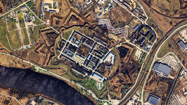
🌍 : https://maps.app.goo.gl/TJigi2zcCVYsC5DXA
4K link : https://i.imgur.com/VFwpuK2.jpeg
#latvia #googleearth #satelliteview #aerialphotography #fortess #star #vauban #fortifications #river #atlas #texture #earthart #earthfromabove #earthfromspace #dji #worldview #MastoArt #Mapstodon
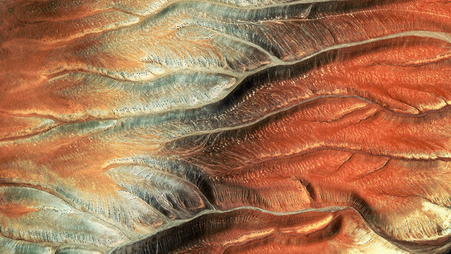
🌎 : https://maps.app.goo.gl/j3bJ1YkRmwXR8rDB9
4K link : https://i.imgur.com/9SYbR14.jpeg
#chile #googleearth #satelliteview #aerialphotography #abstract #texture #earthart #atlas #earthfromabove #earthfromspace #valleys #tendrils #fractal #mountain #landscape #dji #worldview #Mastoart #Mapstodon
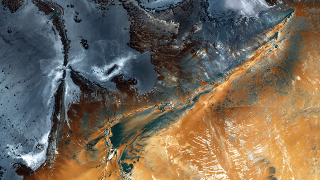
🌍 : https://maps.app.goo.gl/SMoZ3ZihRGPNsxNq7
4K link : https://i.imgur.com/5VDRm0k.jpeg
#mali #4k #wallpaper #googleearth #satelliteview #aerialphotography #desert #relief #mountains #abstract #texture #landscape #atlas #earthart #earthfromabove #earthfromspace #dji #worldview #MastoArt #Mapstodon
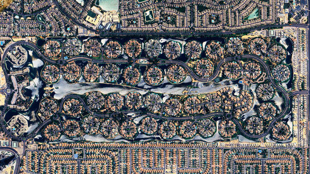
🌏 : https://maps.app.goo.gl/kkth8Co3vecAkosTA
4K link : https://i.imgur.com/JOgXYGl.jpeg
#uae #unitedarabemirates #dubai #4k #wallpaper #googleearth #satelliteview #aerialphotography #jumeirah #landscape #cityscape #geometric #circle #urban #suburb #abstract #atlas #texture #earthart #earthfromabove #earthfromspace #dji #worldview #MastoArt #Mapstodon
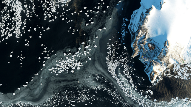
🌎 : https://maps.app.goo.gl/eYqgsfSmY1mWBobw5
4K link : https://i.imgur.com/Y7JFjxX.jpeg
#antarctica #googleearth #satelliteview #aerialphotography #coast #shore #mcmurdo #scott #polarcircle #snow #white #floes #abstract #atlas #earthart #texture #earthfromabove #earthfromspace #dji #worldview #Mastoart #Mapstodon
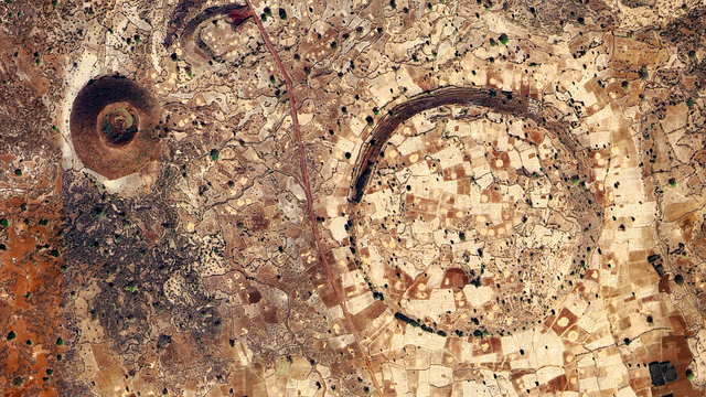
🌍 : https://maps.app.goo.gl/PHcDngweff4QQNni9
4K link : https://i.imgur.com/JoyEOty.jpeg
#ethiopia #googleearth #satelliteview #aerialphotography #crater #fields #agriculture #volcanic #pattern #texture #landscape #earthart #earthfromspace #earthfromabove #dji #worldview #abstract #atlas #Mapstodon #mastoart
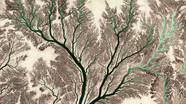
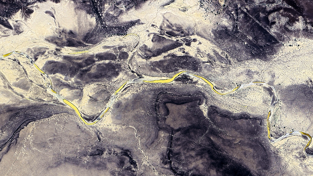
🌏 : https://maps.app.goo.gl/ensg399iQ5gmnAtj9
4K link : https://i.imgur.com/9wpXwgb.jpeg
#irak #satelliteview #googleearth #aerialphotography #abstract #texture #fractal #river #tendrils #capillaries #veins #atlas #earthart #earthfromabove #earthfromspace #desert #landscape #dji #worldview #MastoArt #mapstodon
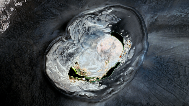
🌍 : https://maps.app.goo.gl/o8PFkVp3LyHsRsge7
4K link : https://i.imgur.com/tDgmPhU.jpeg
#lybia #googleearth #satelliteview #aerialphotography #volcano #caldeira #crater #lake #desert #wawandnamus #oasis #abstract #texture #earthart #atlas #earthfromabove #earthfromspace #dji #worldview #MastoArt #Mapstodon
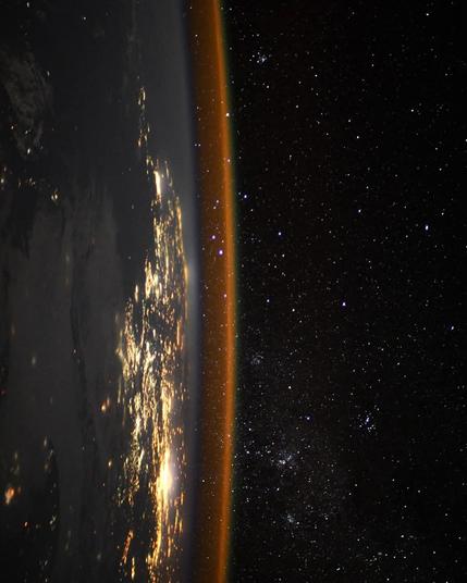
Sunrise from Space: Earth’s Fiery Edge Meets the Stars 🔥🌍✨
From this stunning orbital view, the Earth glows with city lights as the first rays of sunlight ignite the horizon.
Above it all? The endless cosmos, watching in silence.
📸 Captured from the ISS — and yes, that curve isn't a camera trick. Sorry, flat-Earthers 😅
#EarthFromSpace #SunriseFromOrbit #CurvedEarth #ISSView #FlatEarthDebunked #AstronomyLovers #Space #photography #science
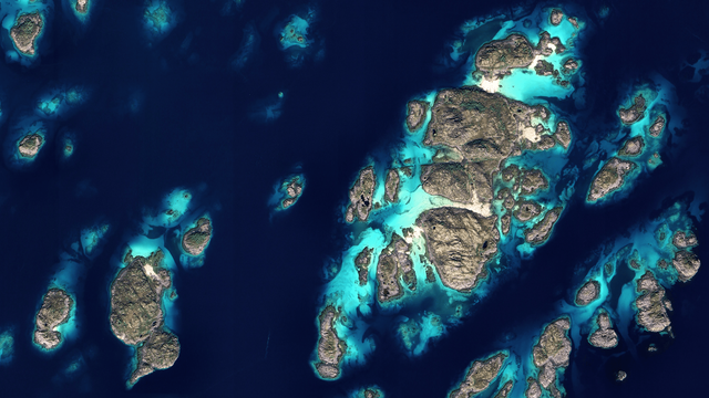
🌍 : https://maps.app.goo.gl/Unwpa3DYjAc715oj6
4K link : https://i.imgur.com/VXmE5Oh.jpeg
#norway #svellingsflaket #googleearth #satelliteview #aerialphotography #islands #archipelago #landscape #waterscape #coast #sea #abstract #texture #atlas #earthart #earthfromabove #earthfromspace #dji #worldview #Mapstodon #MastoArt
🌏 : https://maps.app.goo.gl/jWYF2tvoHnZZQU3GA
4K link : https://imgur.com/a/AVdOJNx
This one is not for the aesthetics. This one is because this genocide is happening under our eyes and even visible from space.
🇵🇸 Free Palestine
I will block any genocide apologists in the comments, there will be no warnings. Do not even try.
#palestine #jabalya #jabalia #gazastrip #freepalestine #googleearth #satelliteview #aerialphotography #urban #warzone #destruction #earthfromspace #earthfromabove #landscape #cityscape #atlas #dji #Mapstodon
Cloud-free Svalbard 🇳🇴
This image is a mosaic of multiple 🛰️ Copernicus EU Sentinel-2 scans from June to September 2024.
The Svalbard archipelago spans an area of around 62,700 sq km and features glaciers, fjords and rugged mountains. Near Longyearbyen, the Svalbard Satellite Station tracks passes of polar-orbiting satellites, including ESA Cryosat and ESA Swarm.
via Copernicus EU on X
🌍 : https://maps.app.goo.gl/E6Nrs2dRuAgDuLdYA
4K link : https://i.imgur.com/NB6hiIM.jpeg
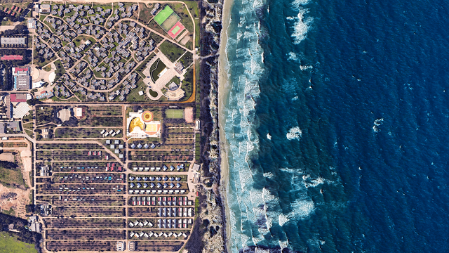
#italy #sea #seaside #beach #googleearth #satelliteview #aerialphotography #atlas #earthart #earthfromabove #adriaticsea #camping #resort #abstract #earthfromspace #dji #worldview #MastoArt #Mapstodon
🌏 : https://maps.app.goo.gl/uc3P6u1T1PET2L2f8
4K link : https://i.imgur.com/KJKSbuH.jpeg
#china #googleearth #satelliteview #aerialphotography #roads #pattern #abstract #texture #rural #highway #greenhouses #agriculture #farming #atlas #earthart #earthfromabove #earthfromspace #landscape #dji #worldview #MastoArt #Mapstodon
🌏 : https://maps.app.goo.gl/7zdZNxrLBWoLSSNHA
4K link : https://i.imgur.com/CIApO3B.jpeg
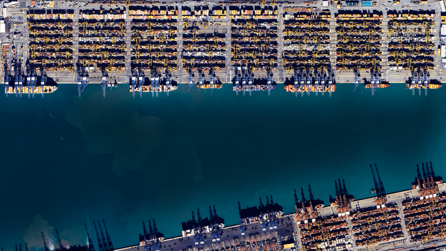
#southkorea #harbor #port #pusan #googleearth #satelliteview #aerialphotography #abstract #texture #earthart #earthfromabove #atlas #earthfromspace #containers #ships #cargo #cranes #blue #landscape #industrial #commercial #dji #Mapstodon #MastoArt
🌎 : https://maps.app.goo.gl/pdFuH4Yhp8vaDDpW8
4K link : https://i.imgur.com/Z1OKQhO.jpeg
Happy Earth day everyone !
#canada #quebec #earthday #reservoir #lake #googleearth #satelliteview #aerialphotography #landscape #texture #circle #river #green #abstract #atlas #earthart #earthfromabove #earthfromspace #dji #worldview #Mapstodon #MastoArt
🌍 : https://maps.app.goo.gl/g8XZ24HSHerziJrc8
4K link : https://i.imgur.com/YbxC34g.jpeg
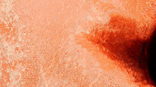
#kenya #lakemagadi #googleearth #satelliteview #aerialphotography #saltlake #cracks #orange #texture #abstract #landscape #pattern #earthart #earthfromspace #earthfromabove #atlas #dji #worldview #MastoArt #Mapstodon
🌎 : https://maps.app.goo.gl/avKmp9Hsrh4XMivh7
4K link : https://imgur.com/a/1sKRACR
#bahamas #googleearth #satelliteview #aerialphotography #island #carribean #ocean #waterscape #landscape #resort #cruiseboat #pools #abstract #earthart #earthfromspace #earthfromabove #cruiseship #dji #MastoArt #Mapstodon
