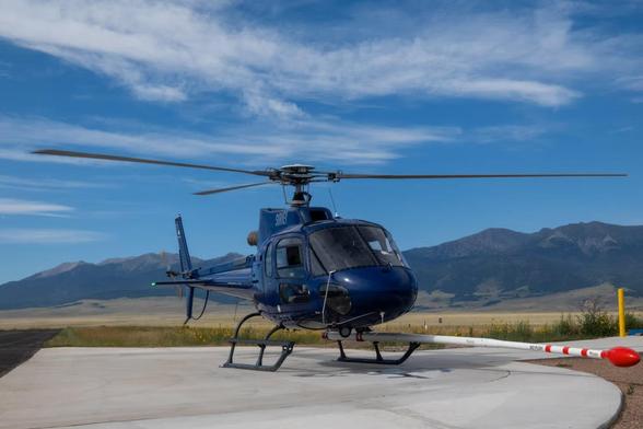
Why Is The Federal Government Spending Millions On Aerial Geological Mapping In Southern Colorado?
--
https://www.cpr.org/2025/11/19/geological-survey-earth-mri-colorado-minerals/ <-- shared media article
--
https://www.usgs.gov/earth-mapping-resources-initiative-earth-mri <-- shared (USGS) Earth Mapping Resources Initiative (Earth MRI) entry page
--
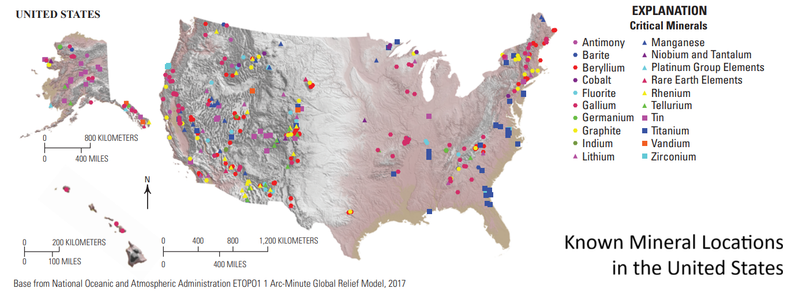
https://ngmdb.usgs.gov/emri/#3/40/-96 <-- shared Earth MRI web map(s)
--
https://www.usgs.gov/centers/gggsc <-- shared USGS Geology, Geophysics, and Geochemistry Science Center entry page
--
https://mrdata.usgs.gov/earthmri/data-acquisition/project.php?f=html&pid=1071 <-- shared USGS Colorado Alkaline Igneous Belt Survey report
--
https://www.usgs.gov/programs/mineral-resources-program/science/what-are-critical-minerals-0 <-- shared final 2025 #DOI / #USGS report on list of critical minerals
--
#geophysics #remotesensing #earthobservation #airborne #mapping #spatial #criticalminerals #colorado #geology #structuralgeology #Colorado #USA #EarthMRI #SouthernColorado #geologicdata #geologicmapping #geochemistry #igneous #survey #geophysicalsurvey #economic #economy #mineral #mineralresources
@CPR @USGS @NV5
#geologicdata
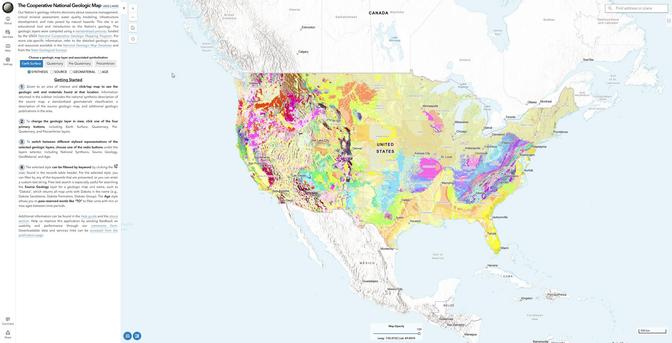
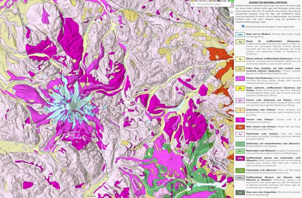
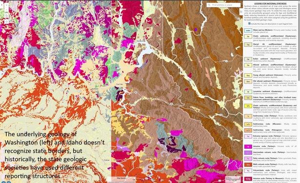
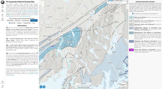
New USGS Map Offers An Interactive Look At The Rocks Beneath Our Feet
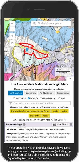
The Cooperative National Geologic Map is an interactive tool that builds on both cutting-edge technology and decades of mapping by geoscientists.
--
https://eos.org/articles/new-usgs-map-offers-an-interactive-look-at-the-rocks-beneath-our-feet <-- shared EOS-source technical article
--
https://ngmdb.usgs.gov/nationalgeology/#lat=37.0000&lng=-97.5000&zoom=5&theme=esurf&symbology=synthesis <-- shared @USGS resource
--
[recognising that I posted something similar earlier ~smile~]
#GIS #spatial #mapping #data #fedopendata #fedscience #geologicmap #geology #webmap #geologicdata #energy #minerals #mining #waterresources #hydrology #risk #hazard #landuse #infrastructure #planning #realestate #insurance #rock #sediment #mapunits #compilation #criticalminerals #economicgeology #nation #mobile #fieldwork #interactivewebtool #publicgood #online #state #federal #map #usecase #energy #resources #CooperativeNationalGeologicMap #USGS #mainland #CONUS
@USGS
USGS Unveils New National Geologic Map
--
https://www.usgs.gov/news/national-news-release/usgs-unveils-new-national-geologic-map <-- shared technical article
--
https://ngmdb.usgs.gov/nationalgeology <-- access The #USGS Cooperative National Geologic Map
--
#GIS #spatial #mapping #data #fedopendata #fedscience #geologicmap #geology #webmap #geologicdata #energy #minerals #mining #waterresources #hydrology #CooperativeGeologicMappingProgram #risk #hazard #landuse #infrastructure #planning #realestate #insurance #rock #sediment #mapunits #compilation #criticalminerals #economicgeology #nation #mobile #fieldwork #interactivewebtool #publicgood #online #state #federal #map #usecase #energy #resources
@USGS
