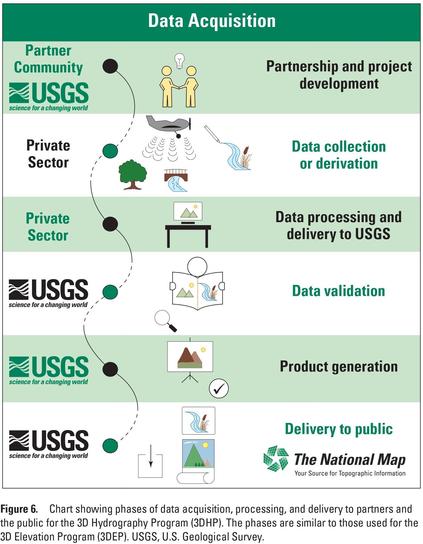
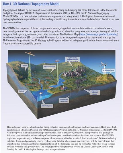
The 3D National Topography Model Call For Action—Part 1. The 3D Hydrography Program [USGS publication]
--
https://doi.org/10.3133/cir1519 <-- shared USGS Circular 1519
--
https://www.usgs.gov/3DHP <-- 3DHP home page at the USGS
--
https://hydro.nationalmap.gov/arcgis/rest/services/3DHP_all/MapServer <-- open data WMS for 3DHP, WFS to follow soon
--
[awareness: this is my primary project at the USGS]
#GIS #spatial #mapping #water #hydrology #USGS #3dhp #EDH #elevationderivedhydrography #3DHydrographyProgram #NHD #WBD #NHDPlusHR #nation #USA #nationwide #usecase #appliedscience #economicbenefits #planning #monitoring #decisionmaking #informeddecisions #3d #xyz #waterbody #stream #river #flowline #lake #network #routing #opendata #3dtnm #topography #internetofwater #infostructure
@USGS
#nhdplushr
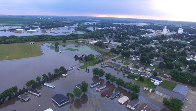
How 3D Hydrography [3DHP] Can Set The Rivers Straight [USGS]
--
https://www.geoweeknews.com/news/3d-hydrography <-- shared technical article
--
#GIS #spatial #mapping #3D #elevationderivedhydrography #EDH #hydrology #3dhydrography #3dhp #elevation #3dep #lidar #ifsar #DEM #water #hydrology #nhd #wbd #nhdplushr #opendata #Nation #USA #rivers #streams #lakes #waterbodies #flowlines #waterresources #watermanagement #flooding #floodplain #appliedscience #standardisation #consistent #spatiotemporal #spatialanalysis #usecase #model #modeling
@usgs
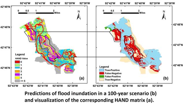
Comparative Analysis Of Performance And Mechanisms Of Flood Inundation Map Generation Using Height Above Nearest Drainage
--
https://doi.org/10.1016/j.envsoft.2022.105565 <-- shared paper
--
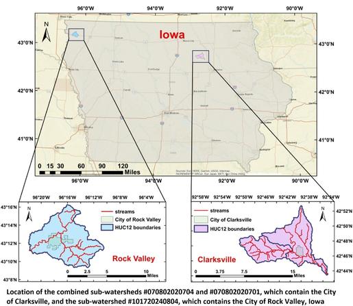
#GIS #spatial #mapping #model #modeling #flood #water #hydrology #floodinundation #floodinundationmapping #heightabovenearestdrainage #modelcomparison #modelconfiguration #performanceanalysis #FIM #HAND #NWC #NWM #hydrofabric #USA #nationwide #floodmapping #NWCH #NHD #NHDPlusHR #NHDPlus #inundation #weather #precipitation #catchment #ratingcurves #prediction #climate #NOAA @nws #USGS
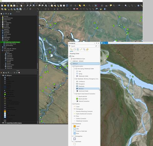
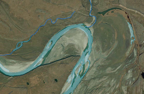
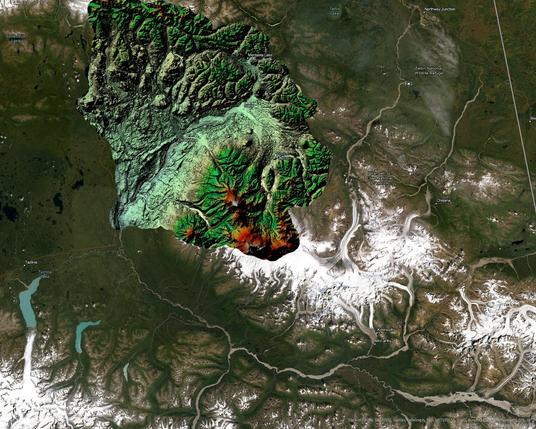
Helping put together some iFSAR elevation data for hydrologic analyses in a HUC8 in Alaska...
--
https://www.usgs.gov/3d-elevation-program <-- 3DEP’s elevation open data access
--
[sad that Mastodon kills the resolution in the image, such stunning hydromorphology can be seen in the data]
#GIS #spatial #mapping #remotesensing #Alaska #USA #elevation #iFSAR #water #hydrology #3DEP #NHD #NHDPlusHR #water #spatialanalysis #opendata #datasets #glacial
#USGS
