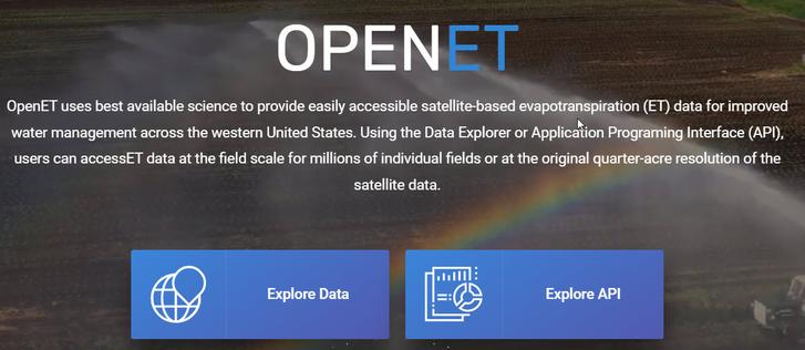
OpenET Project – Estimating The Volume Of Evapotranspiration From Remote Sensing Weather & Other Data Sources
--
https://etdata.org/ <-- link to the project / data resources
--
[sharing of this post does not constitute an endorsement of this product or company]
#GIS #spatial #mapping #remotesensing #OpenET #evapotranspiration #weather #waterresources #watersecurity #watermanagement #water #hydrology #USWest #US #USA #webmaps #EarthEngine #spatialdata #API #ET #farming #agriculture #satellite #DataExplorer #sustainability #irrigation #landsat #waterbudgets #people #ecosystems #environment #groundwater #consumption #planning #budgeting #model #modeling
#waterbudgets
Client Info
Server: https://mastodon.social
Version: 2025.04
Repository: https://github.com/cyevgeniy/lmst


