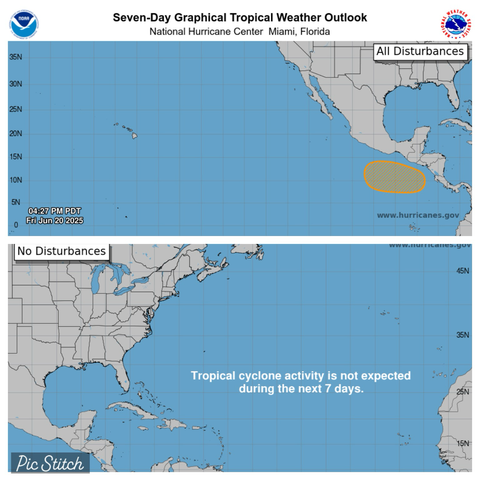
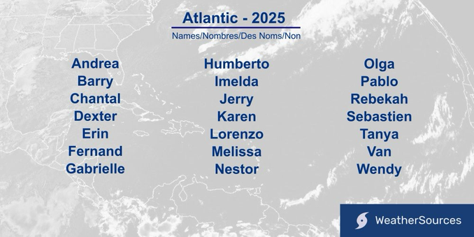
While the Atlantic remains quiet (not uncommon: the average first storm is 20June), the East Pacific looks to have its next potential storm system moving parallel to the Mexico coast next week. 20Jun2025
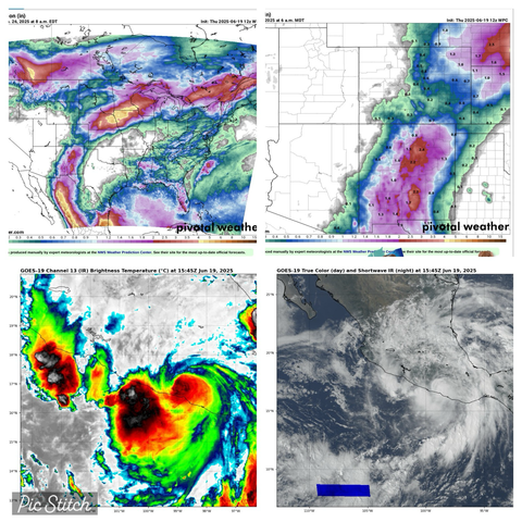
As Hurricane Erick, now inland, continues to rapidly weaken focus will shift to scattered rainfall, some heavy. Leftover moisture combined with general flow of tropical moisture Northward could lead to heavy rains into New Mexico and portions of Eastern AZ and Western TX next week. (Exact locations / totals subject to change) 19June2025
Hurricane Erick is weakening but still a powerful storm. Making landfall at sunrise near Corralero Oaxaca Mexico. Estimated winds 125mph(205km/h) with rapid weakening expected today due to mountainous terrain. 19June2025
Sunset over Major Hurricane Erick near the coast of Mexico 18June2025
Hurricane Erick Wednesday morning. 18June2025 East Pacific
Tropical Storm Erick develops along the Southern coast of Mexico in Eastern Pacific Tuesday morning. Moving just North of parallel with coast means hard to pinpoint landfall location and any extra time over water likely means stronger storm prior to landfall this week. Stay safe. 17Jun2025
Unlike our first four named Eastern Pacific cyclones, PTC5e steering currents look to bring it onshore into Mexico. NHC currently calling for a Cat1 Hurricane landfall later this week, accompanied by heavy rains. 16Jun2025 5pEDT/3pCST
Tropical Storm Dalila in the East Pacific 13June2025
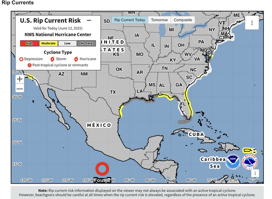
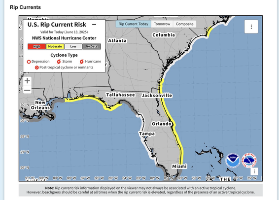
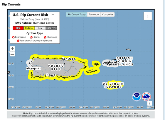
With storms in the Eastern Pacific we still get a preview of NHC’s newest map for rip currents (US(East coast, Gulf & S. Cal), Puerto Rico & Virgin Islands coast only). These will be available anytime a storm is being tracked by NHC on their home page and show rip currents even if not related to storm. Many drownings occur each year even on sunny days with storm well away from shore. 13June2025
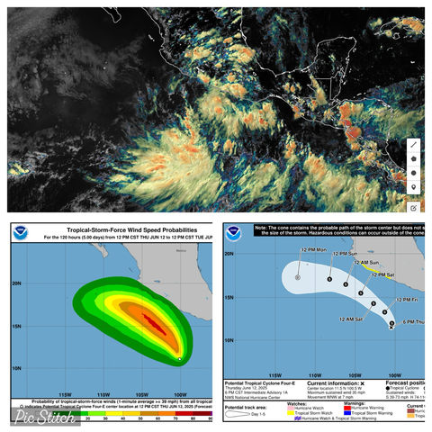
Why a Tropical Storm Watch for portions of Mexico? Because there is about a 10% (one in ten) chance of seeing 39-57mph(63-92km/h) winds. Winds higher than that are currently less than 5%.
PTC4 designation (Potential Tropical Cyclone) allows for early issuance of Watch, cone map & other products before a storm forms for advance warning / information time. 12Jun2025
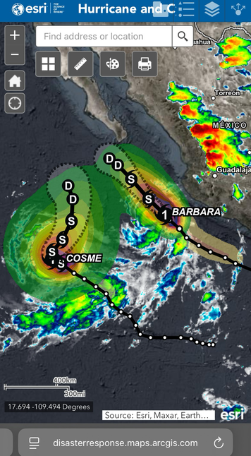
“Barbara” & “Cosme” off the Southwest Mexico coast 9Jun25
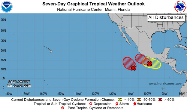
Tropical Storm Barbara & Cosme form Sunday Southwest of Mexico. Barbara close enough for scattered rains but winds staying offshore even as strengthens to hurricane soon. Likely both fall apart this week as cooler waters, wind shear & being too close (storms are loners).
8Jun25
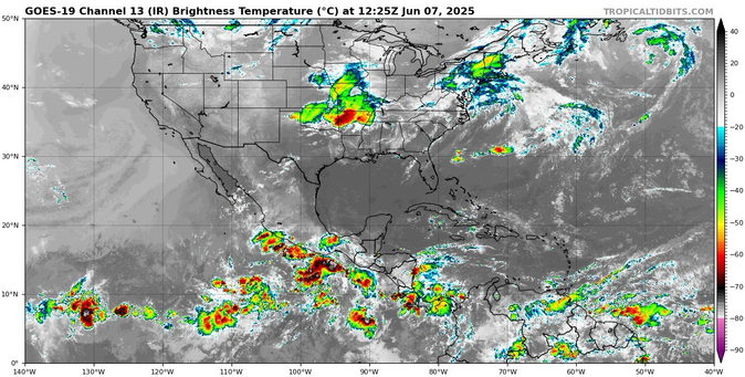
7Jun25 8aEDT
Atlantic - Gulf: Quiet.
East Pacific:
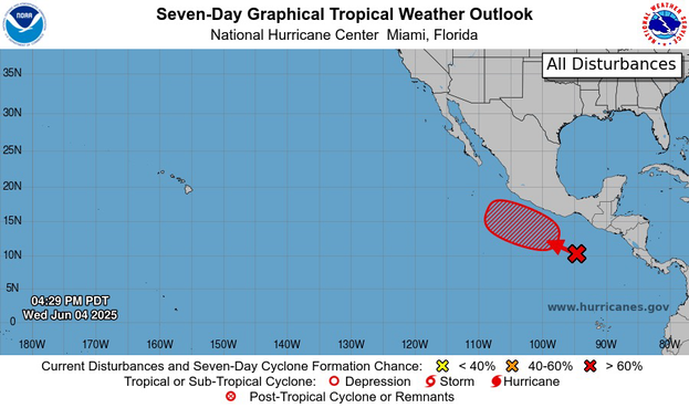
92e along South Mexico coast bringing rain chances. 91e well off Southwest coast. Both high chance develop into tropical system moving West-Northwest next day or so. Next week another may form similar to 92e.
Models suggest a Low pressure or two may form this weekend off the South-Southwest coast of Mexico. 4Jun2025
The blob of scattered showers in the Southeast US is no longer being monitored for tropical / sub-tropical development per NHC. More inland than over water. 4Jun2025
3Jun25
Scattered showers near FL moving to Carolina coast could get a little spin going this week. Either way impacts same of rain chances and breezy.
These brief setups typically stay low chance. If spin starts ‘development’ chance can rise quickly but impacts basically same.
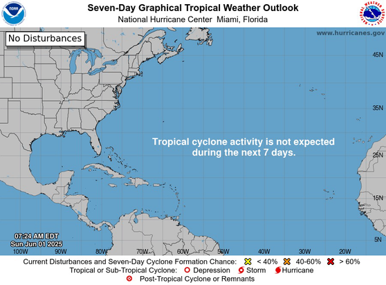
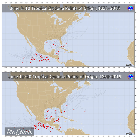
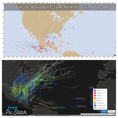
Welcome to the start of the 2025 Atlantic Hurricane season. June storms historically form in Western Caribbean, the Gulf & off US East coast (red dots on images). While June storms are expected, I wouldn’t trust any weather model more than 10-days out. Currently quiet.
1June
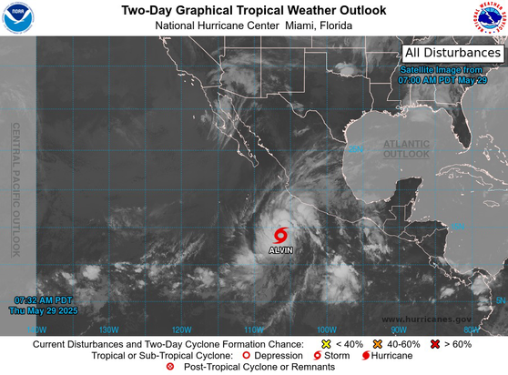
Tropical Storm Alvin in the East Pacific has peaked. Expected to quickly weaken over the weekend. Moisture being pulled up ahead of storm across Mexico and into portions of the Southwest US / Texas region. 30May2025
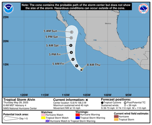
Tropical Storm Alvin forms South of Mexico in Eastern Pacific. Broad system. Slow and steady to develop. Winds now 40mph(65km/h).
Expected to fall apart this weekend as traverses cooler waters and encounters high wind shear (storms don’t like either). 29May2025
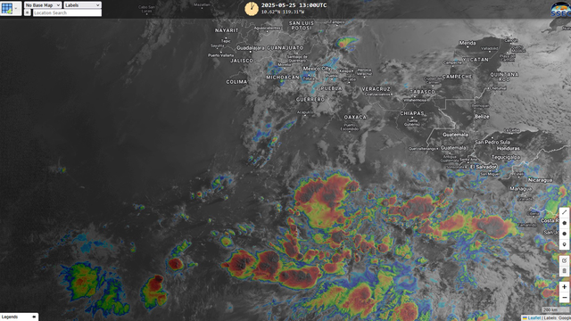
Scattered showers South of Mexico may organize into a tropical system this week. NHC with high 80% chance of development as moves generally West to West Northwest. 25May25
