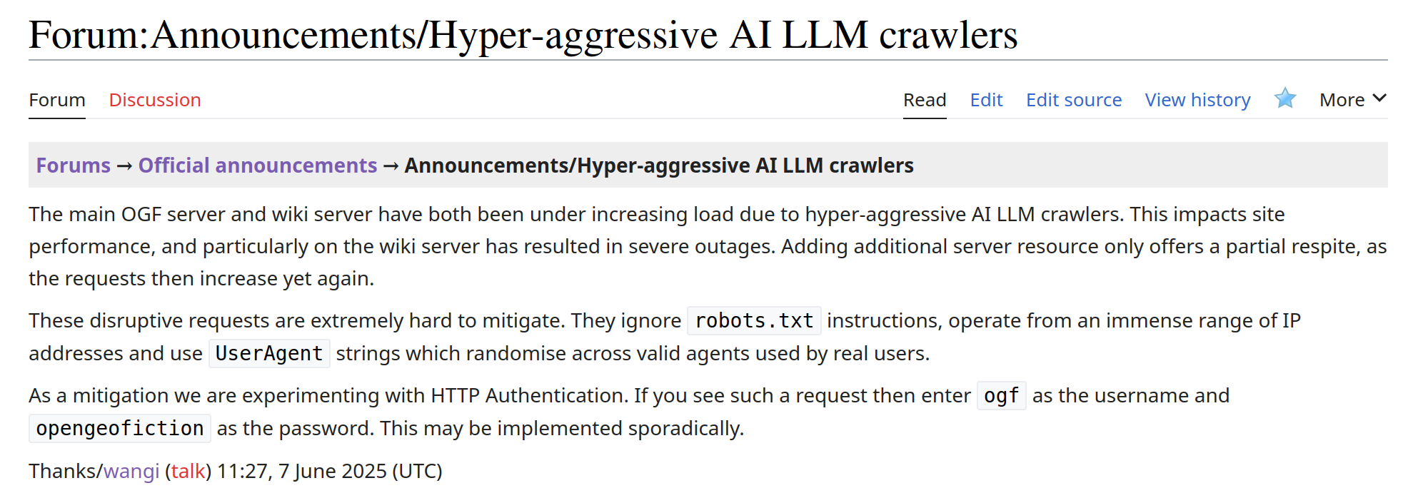
OpenGeofiction wiki server has been suffering outages due to hyper-aggressive AI LLM crawlers targeting it
https://wiki.opengeofiction.net/index.php/Forum:Announcements/Hyper-aggressive_AI_LLM_crawlers
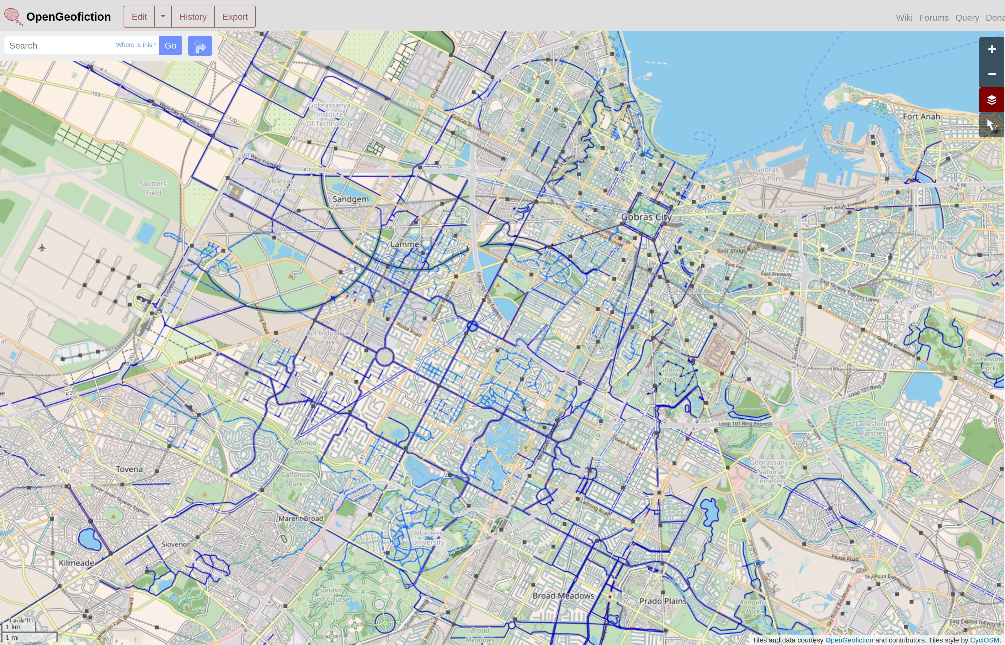
OpenGeofiction
OpenGeofiction is a collaborative platform for creating fictional maps, based on OpenStreetMap
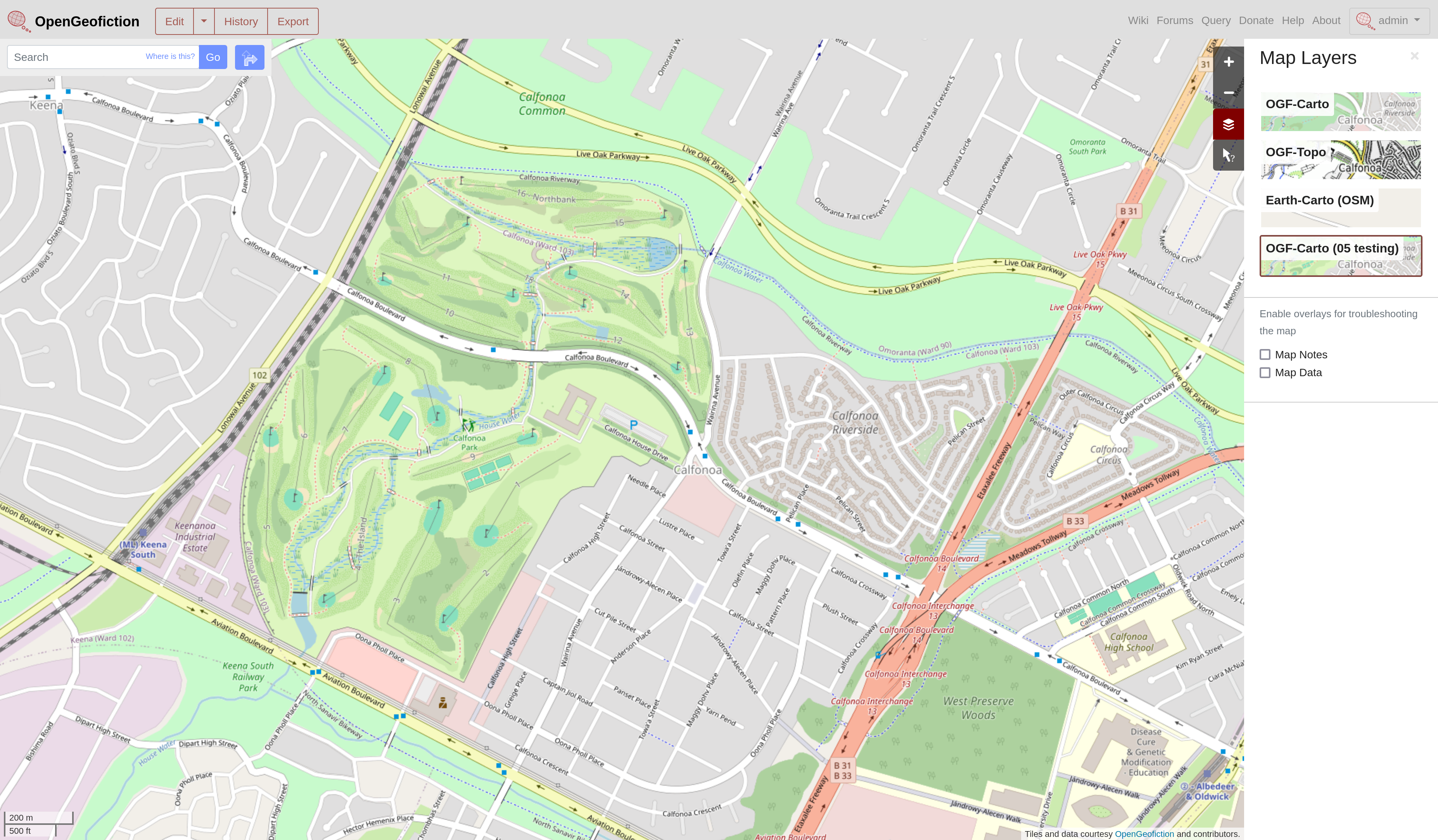
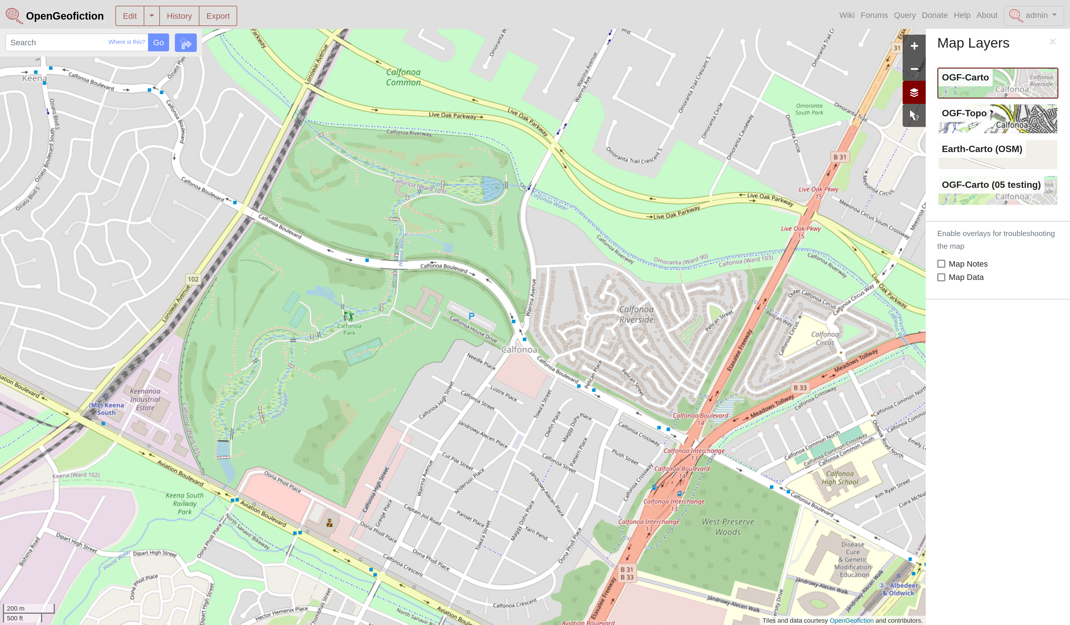
We've now got a cycling layer on OpenGeofiction, based on CyclOSM - CyclOGF!
https://wiki.opengeofiction.net/index.php/Forum:Announcements/New_map_style:_CyclOSM_v0.7.1
#ImaginaryMaps
The new OpenGeofiction Overpass server is now live at https://overpass.opengeofiction.net/ and the old one is no longer accessible
Experimenting with a refreshed Overpass (experimental mmd fork) & Overpass Turbo server for OpenGeofiction... Looks like the clone was just as the new Auto Styler feature hit @tyr
Our tiles05 renderer is back up and running, updated to the recently released @openstreetmap osm-carto v5.9 style
https://opengeofiction.net/#map=16/20.6580/86.6254&layers=5
#opengeofiction #ImaginaryMaps
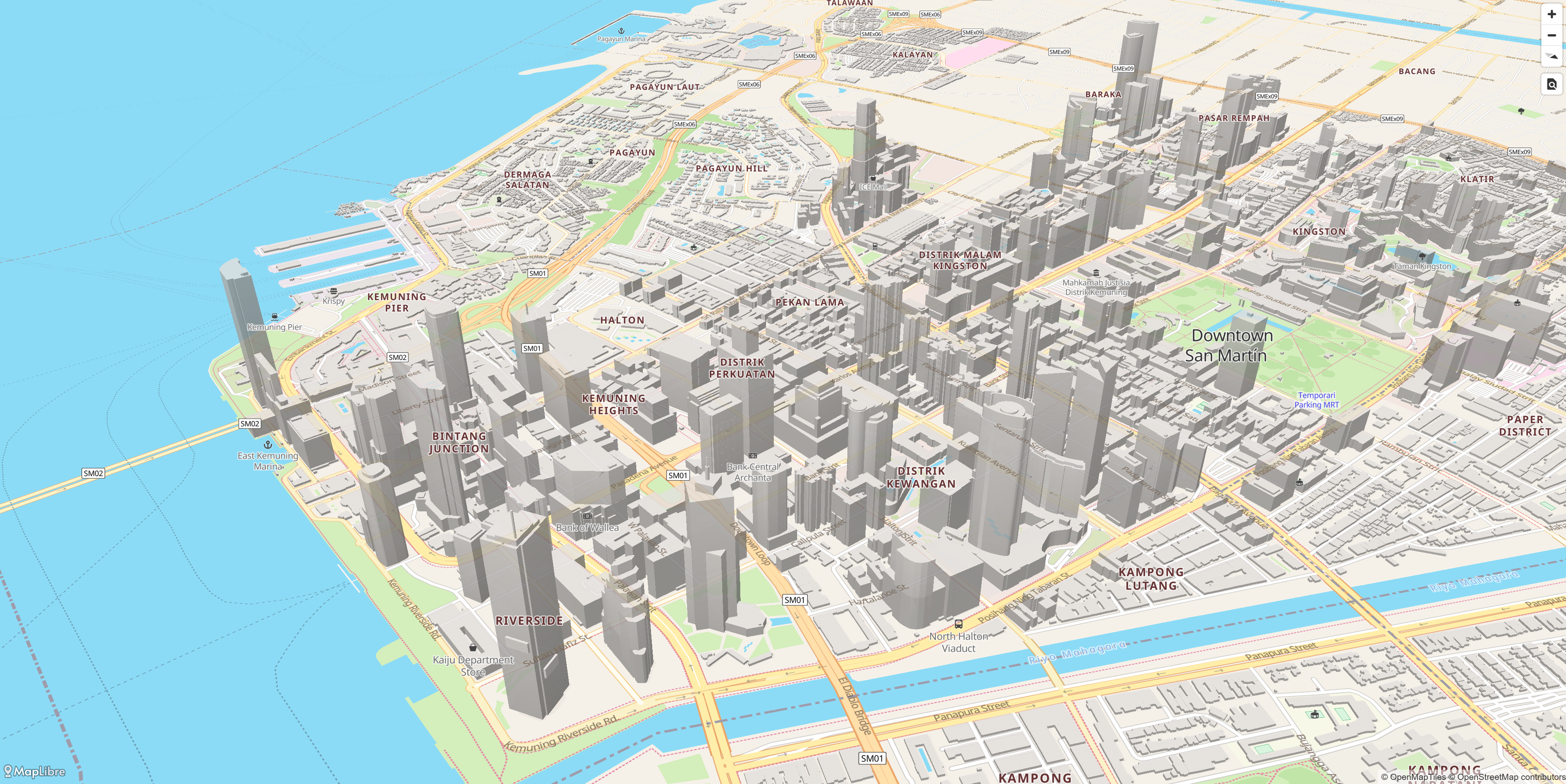
Downtown San Martin, Wallea
ꢱꢥ꣄ ꢪꢬ꣄ꢜꢶꢥ꣄ ꢒꢦꢶꢜꢭ꣄, ꢡꢭꢶꢫ
https://ogfvector.infinatio.us/styles/OGFBright/#15.43/-15.279937/128.598866/-131.2/58 #opengeofiction #imaginarymaps
Regional rail network in Pyingshum-iki
https://wiki.opengeofiction.net/index.php/Pyingshum#Regional_Rail
#imaginarymaps #opengeofiction
It's useful to occasionally download the output of the coastline process into @qgis buffer the rings layer by 22km and then dissolve. Can then export that out and into JOSM
But keeping the 22 km maritime boundaries right is another problem, with mappers trying their best. Parallel Ways in @josmeditor falls apart for this task
We have a responsive coastline process, adapted from @openstreetmap but much more responsive, loading valid coastlines, on a per continent basis, twice an hour
https://wiki.opengeofiction.net/index.php/OpenGeofiction:Coastline_maintenance
One of the challenges of our #imaginarymaps world of #opengeofiction is that coastlines and territory boundaries are constantly changing
https://wiki.opengeofiction.net/index.php/OpenGeofiction:Rules_of_the_sea
Navenna, Navenna
https://opengeofiction.net/#map=13/43.1042/63.4553
https://wiki.opengeofiction.net/index.php/Navenna
#opengeofiction #imaginarymaps
@chris damn, gutted I missed that - would have been interesting
Michisaukee is the first open collaborative state in the Federal States. Like other "blue" territories in OpenGeofiction, all mappers are welcome to edit in the state; however, there are some restrictions as to what can or cannot be mapped.
https://wiki.opengeofiction.net/index.php/Collab:Federal_States/Collaborative_States/Michisaukee
Tioga, Michisaukee, Federal States of Archanta
https://opengeofiction.net/#map=13/-36.7853/155.1883&layers=B #opengeofiction #imaginarymaps
OpenGeofiction boosted:
We at Wikimedia Foundation (the non-profit that keeps Wikipedia running) are hiring Senior SRE for databases and Senior DBA. It's a fun work in large scale and for a good cause where you get to work with a lot of smart people.
#GetFediHired
https://job-boards.greenhouse.io/wikimedia/jobs/6243310?gh_src=84bf644b1us
https://job-boards.greenhouse.io/wikimedia/jobs/6208098?gh_src=377f0e471us
The nature reserve of Park neamusnad no Pyrne Susd, Alved
https://opengeofiction.net/#map=11/52.8973/123.7946&layers=B #imaginarymaps #opengeofiction
Rajapura, Majésia
ꦫꦗꦥꦸꦫ ꦩꦗꦺꦱꦶꦪ
https://opengeofiction.net/#map=16/-5.3141/125.6257&layers=B #imaginarymaps #opengeofiction
Client Info
Server: https://mastodon.social
Version: 2025.04
Repository: https://github.com/cyevgeniy/lmst