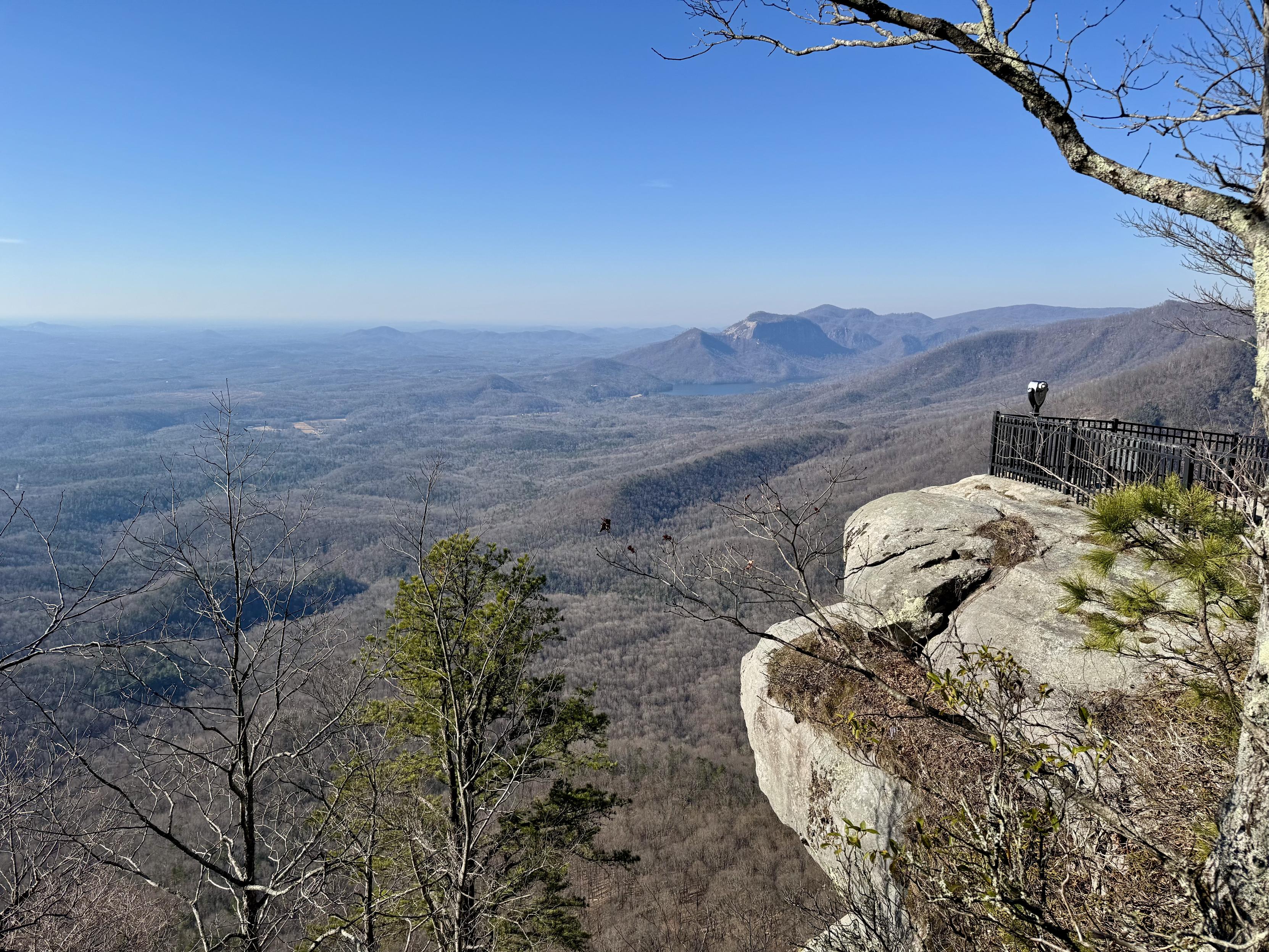
I did some hiking at Table Rock State Park, recently. I had never been in an area affected by wildfires, so I wasn’t sure what to expect. It wasn’t total devastation, although some areas were badly burned. There was plenty of new growth, already! #TableRock #TableRockStatePark #Wildfires #SouthCarolina
#TableRock
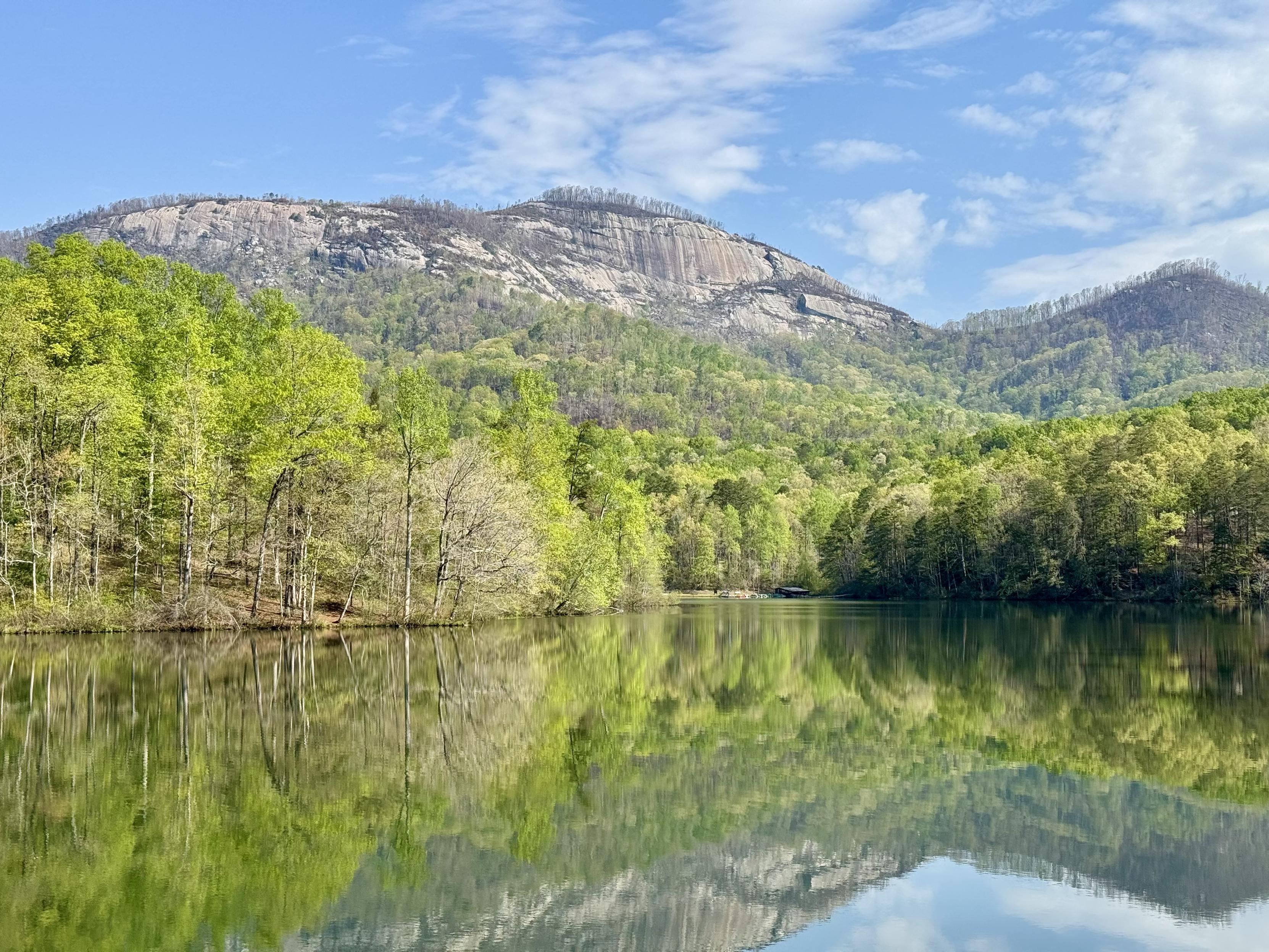
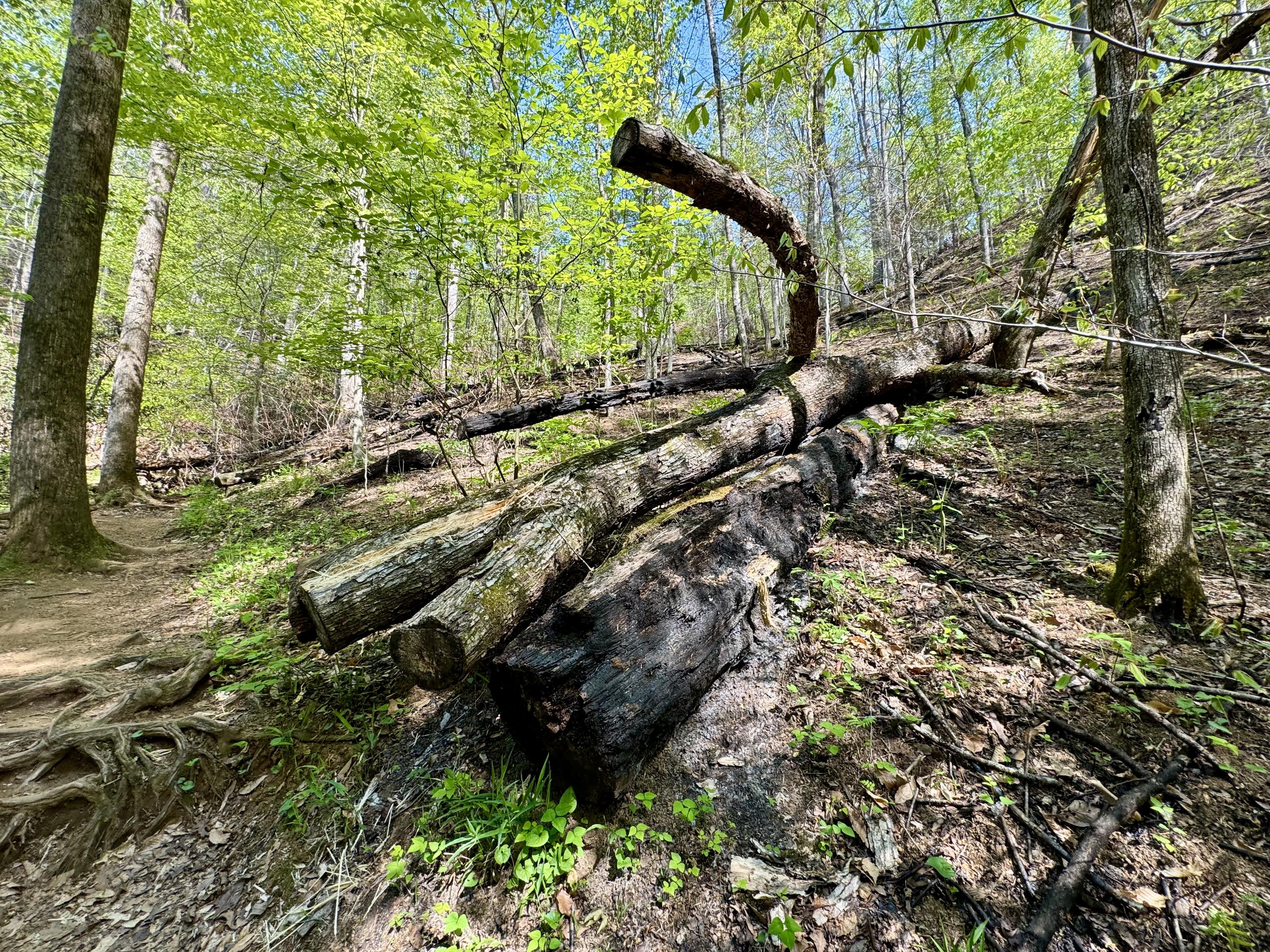
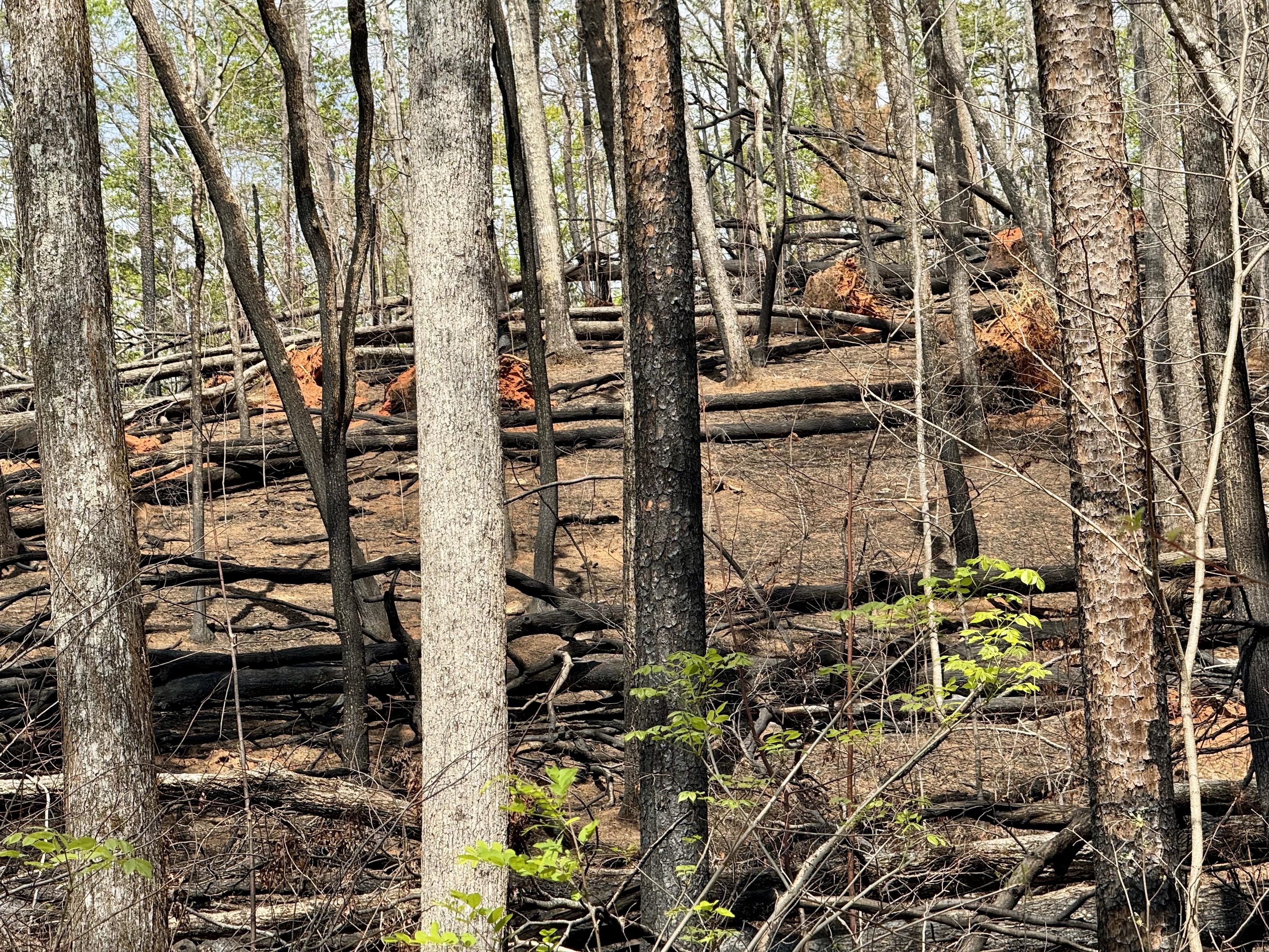
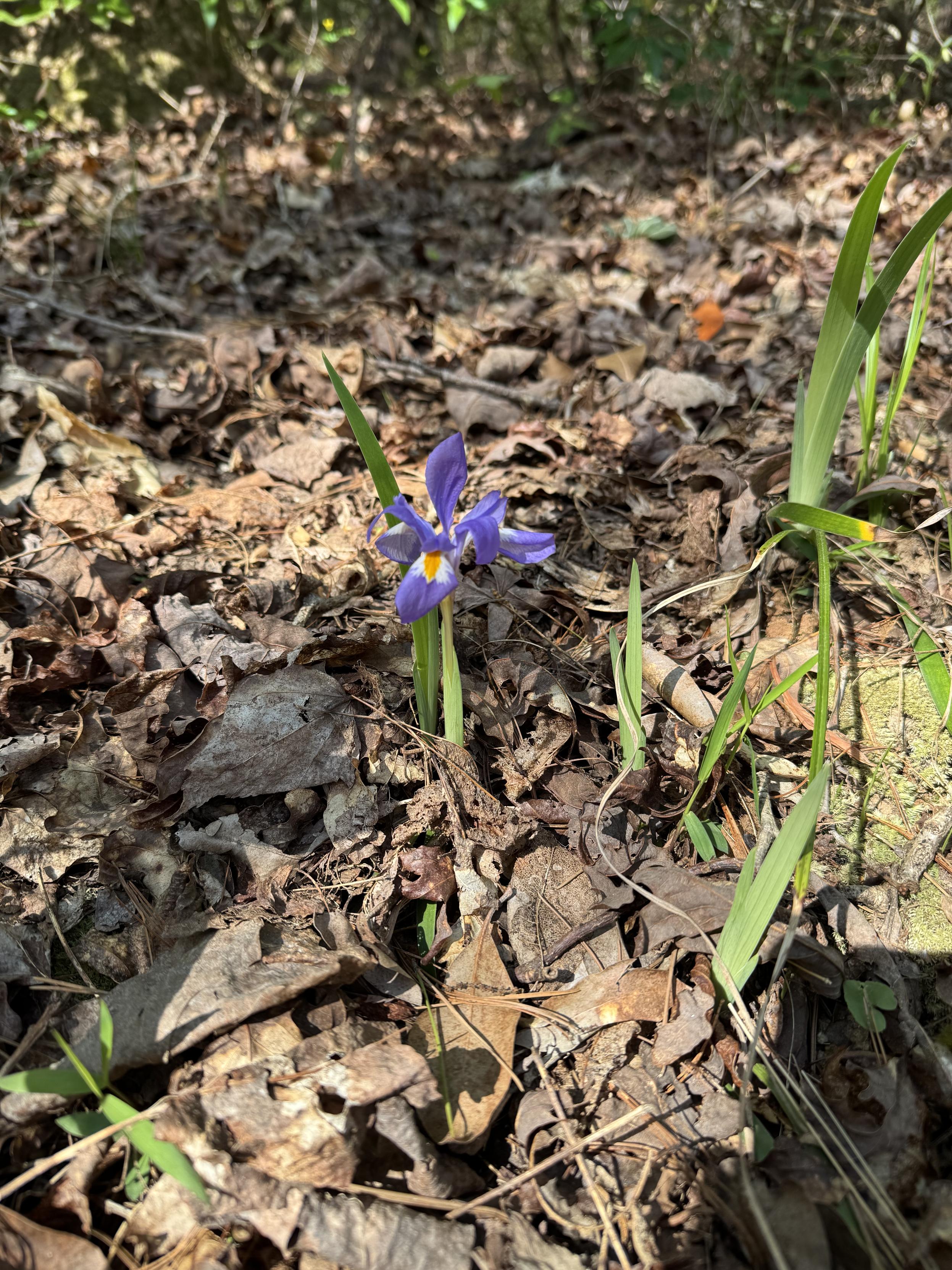
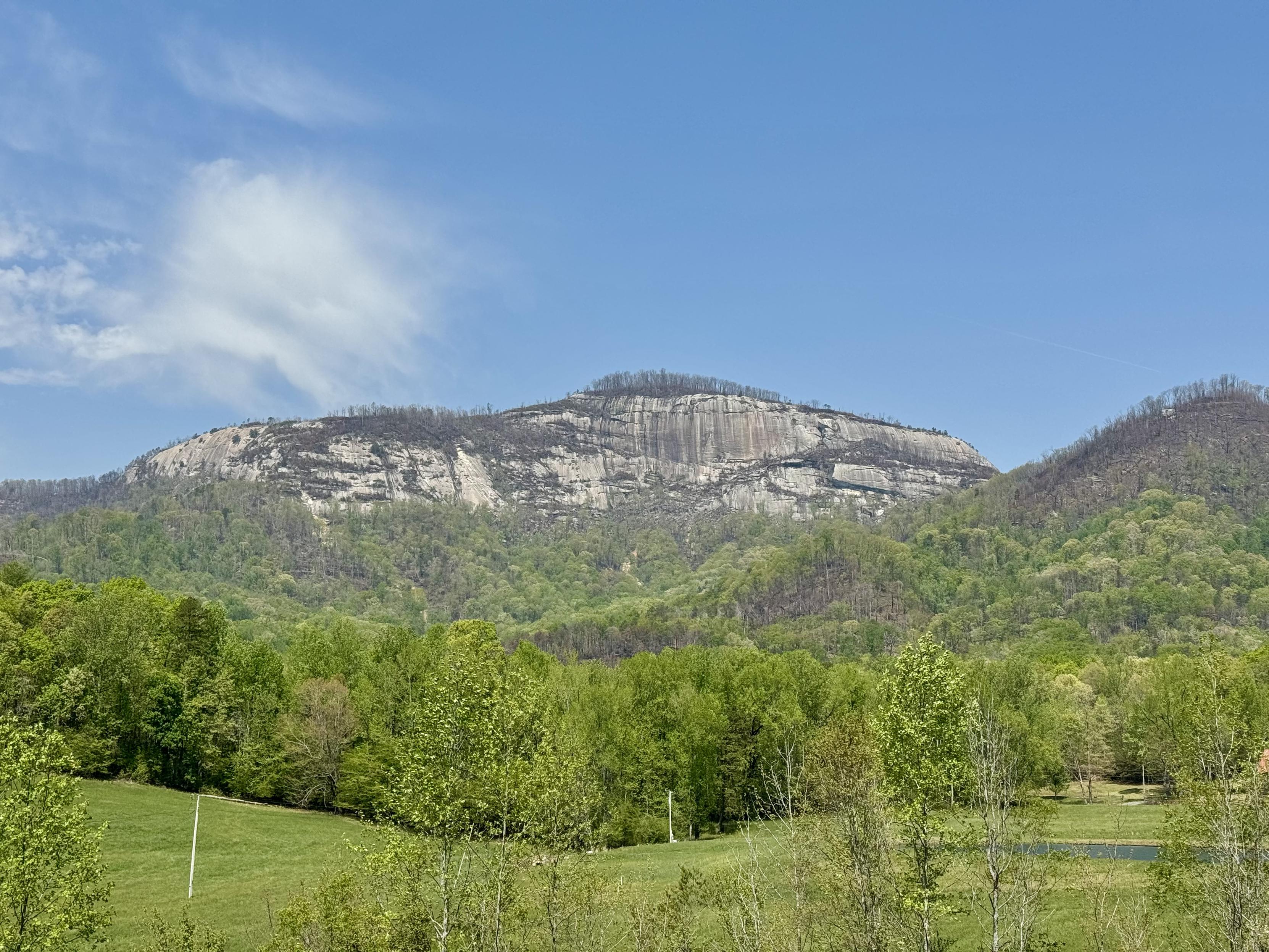
Table Rock Mountain, as seen from the Grant Meadow Overlook on the Cherokee Foothills Scenic Highway. #TableRock #SouthCarolina #BlueRidgeMountains
Deux #incendies majeurs touchent la Caroline du Sud : #TableRock (environ 1 840 ha) et Persimmon Ridge (près de 630 ha). + de 50 communautés ont été évacuées face à l’avancée rapide des flammes, favorisée par la sécheresse et des vents forts. images : Stefan Lucien
🐦🔗 https://twitter.com/lachainemeteo/status/1905258156495642785
🕐 27/03 14:58
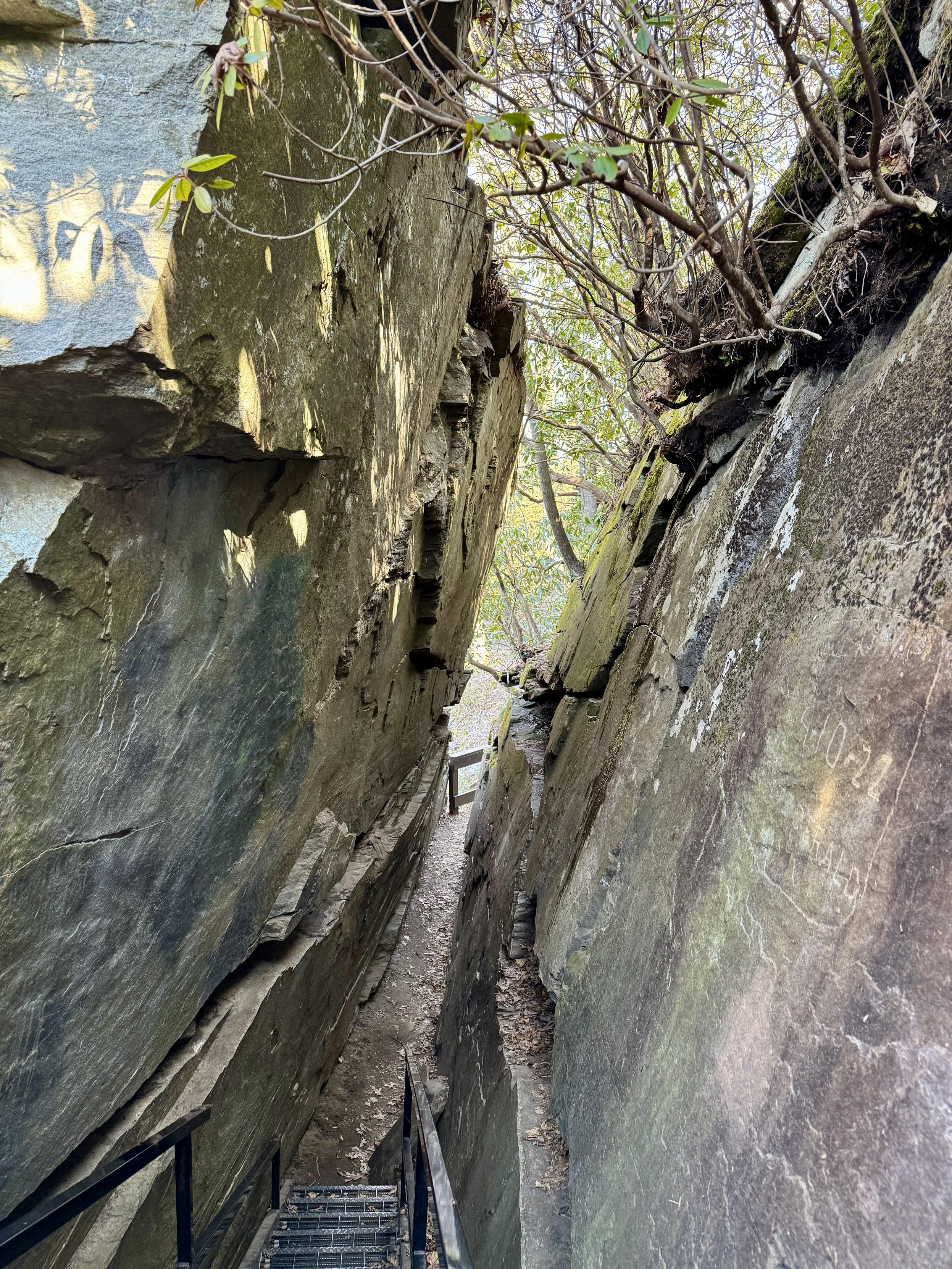
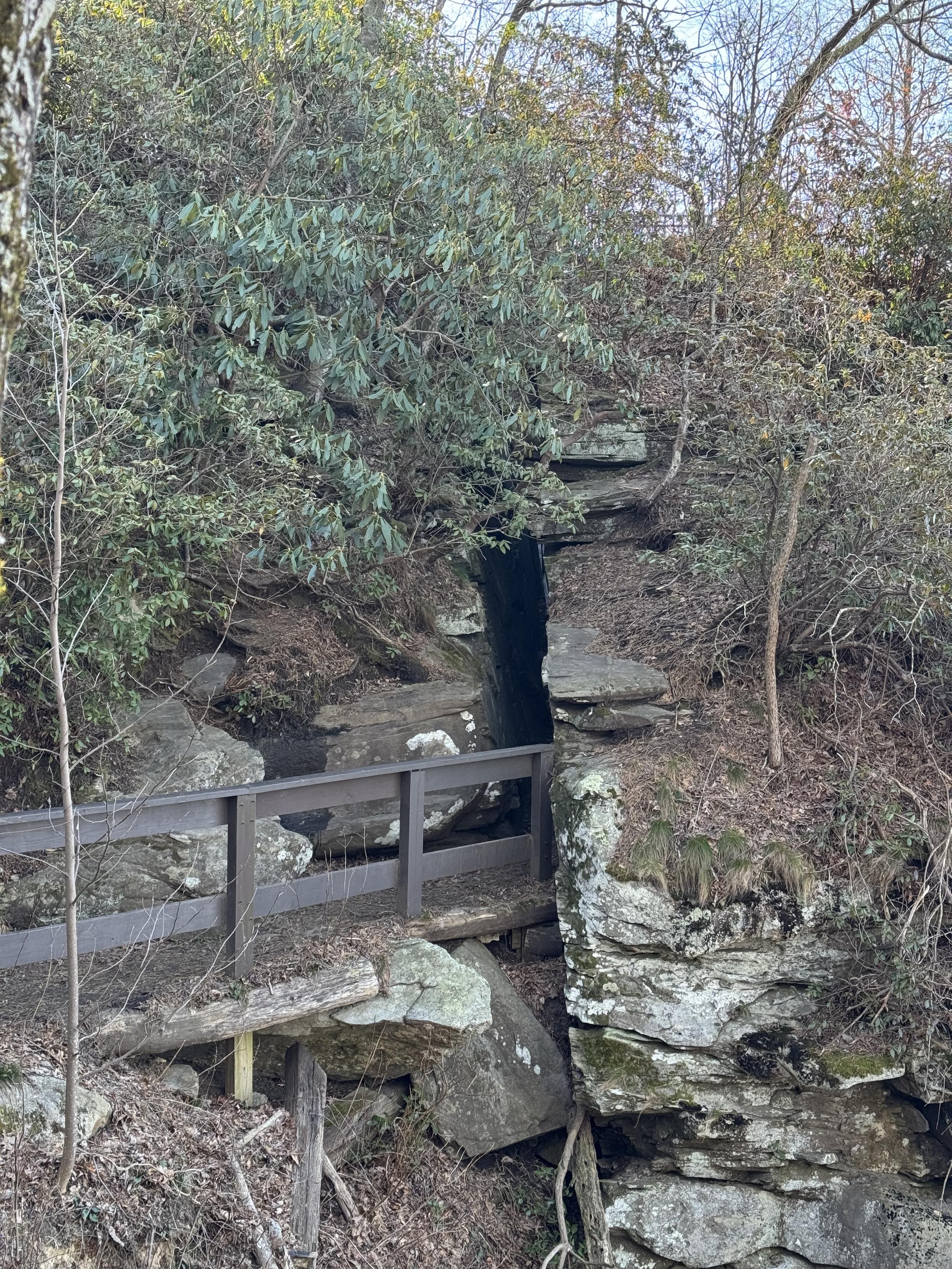
Devil’s Kitchen is located at the overlook. The rock you walk through is probably 30 feet high. 😮 #CaesarsHeadStatePark #SouthCarolina #GreenvilleSC #TableRock
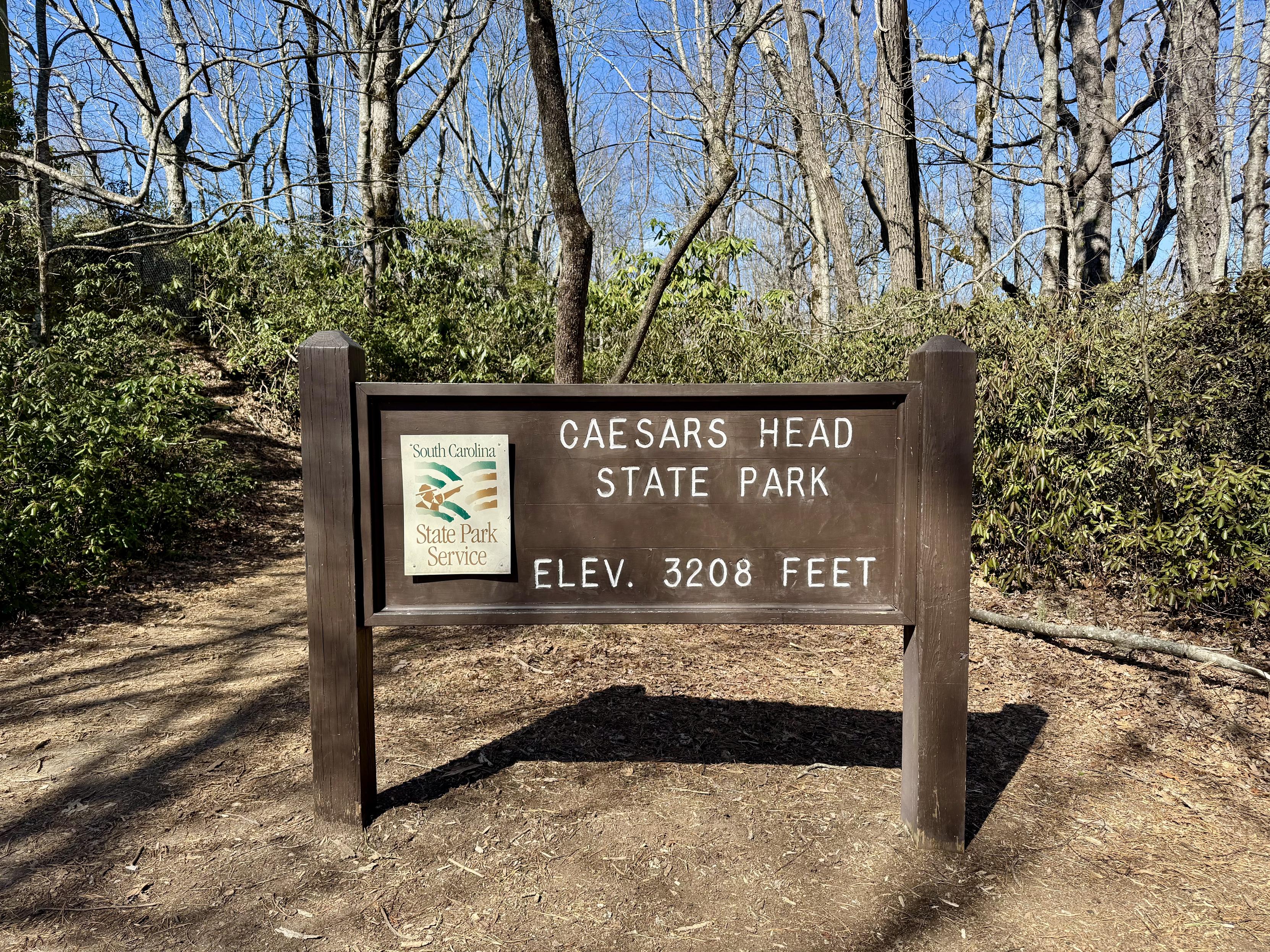
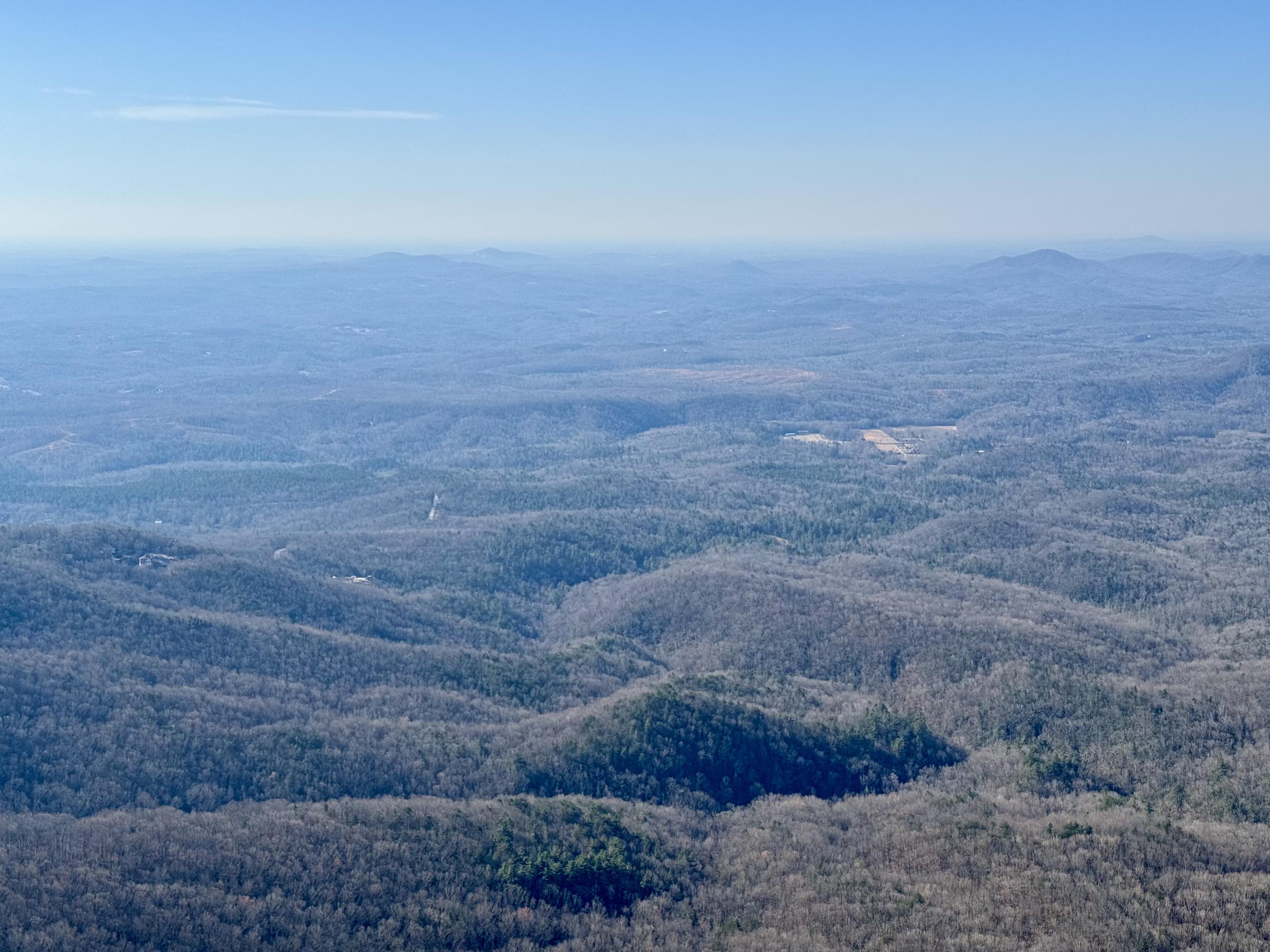
Took a trip to Caesars Head State Park in northern Greenville County this morning. It was too hazy to see downtown Greenville, 30 miles away. #CaesarsHeadStatePark #SouthCarolina #GreenvilleSC #TableRock

Client Info
Server: https://mastodon.social
Version: 2025.04
Repository: https://github.com/cyevgeniy/lmst