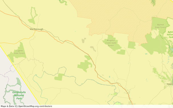
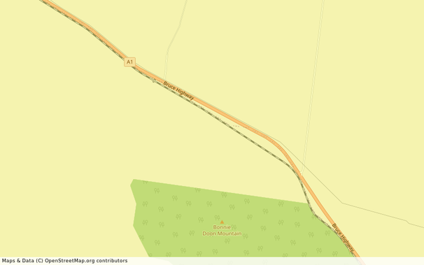
#YeppoonQld

UNOFFICIAL Queensland fire botqldfire@longlandclan.id.au
2025-10-14

#FireVegetation #YeppoonQld #QG56 #QLDFire #BushfireWarning. See fire.qld.gov.au/Current-Incide for official warnings from the QFD. DO NOT RELY ON THIS SERVICE FOR TIMELY EMERGENCY WARNINGS.

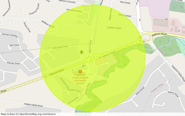
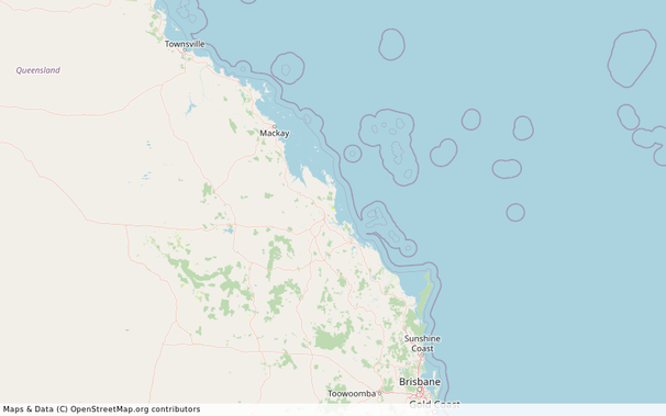
Information - YEPPOON (QF2-25-138342)

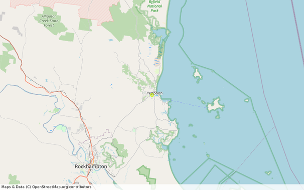
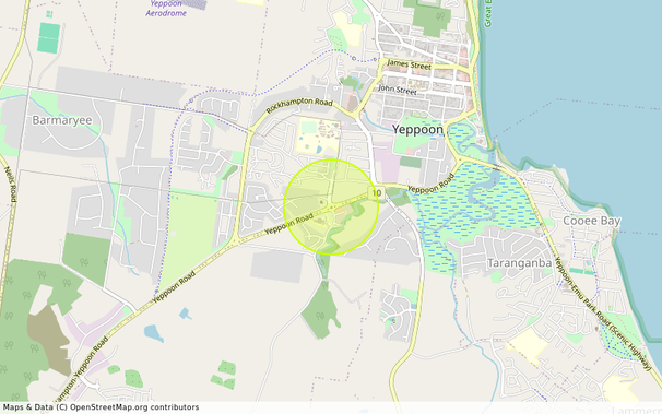
Location: YEPPOON -23.142307° latitude, 150.734688° longitude, grid square QG56IU85
Map: openstreetmap.org/#map=14/-23.
Incident Type: FIRE VEGETATION
Alert Level: Information
Severity: Minor
Action:
Expires: 2025-10-15T07:19:41+10:00

There is a vegetation fire at this location. Smoke may affect residents and motorists in the area. Residents should close their doors and windows and keep medication close by if suffering from a respiratory condition. Motorists should use caution and drive to conditions. If you believe your property is under threat, you should call Triple Zero (000) immediately.

- fire.qld.gov.au/Current-Incide ← Click here for current QFD incidents and warnings
- fire.qld.gov.au/prepare/bushfi ← Click here for bushfire preparation tips
- apps.des.qld.gov.au/air-qualit ← Click here for health advice and air quality information
- Follow QFD on facebook.com/qldfiredepartment ← Facebook and x.com/QldFireDept ← X.com
- qldtraffic.qld.gov.au ← Click here for road closure information or call 131940

- See help.abc.net.au/hc/en-us/artic for a listing of ABC Local Radio stations which may be broadcasting emergency information in your area. #YeppoonQld #Information #FireVegetation #QG56
UNOFFICIAL Queensland fire botqldfire@longlandclan.id.au
2025-10-13

#AvoidSmoke #FireVegetation #CanalCreekQld #ByfieldQld #RockhamptonQld #YeppoonQld #QG57 #QLDFire #BushfireWarning. See fire.qld.gov.au/Current-Incide for official warnings from the QFD. DO NOT RELY ON THIS SERVICE FOR TIMELY EMERGENCY WARNINGS.

AVOID SMOKE - Canal Creek, Byfield, Rockhampton and Yeppoon - fire as at 12:38pm Monday, 13 October 2025 (IF39-5062821)

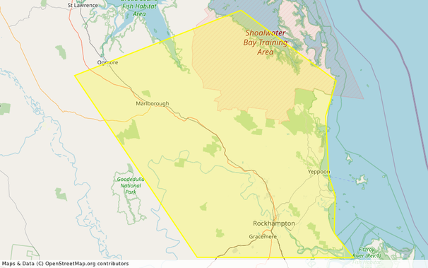
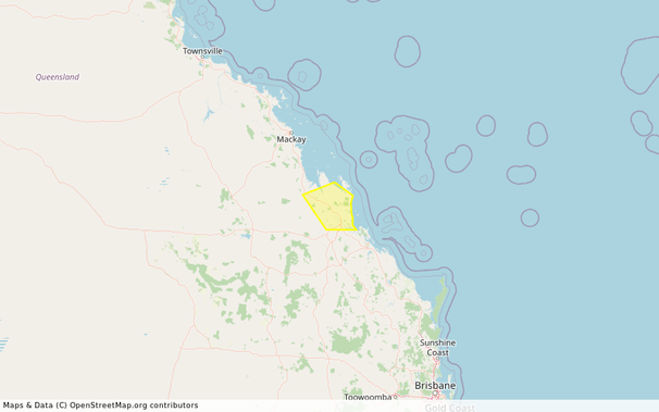
Location: Canal Creek, Byfield, Rockhampton, Yeppoon, The Caves, Mulara and surrounding areas -22.835053450285° latitude, 150.16094904603° longitude, grid square QG57BD99
Map: openstreetmap.org/#map=14/-22.
Incident Type: FIRE VEGETATION
Alert Level: Advice
Severity: Moderate
Action:
Expires: 2025-10-14T12:34:00+10:00

Smoke is currently affecting Canal Creek, Byfield, Stanage, The Caves, Mulara and surrounding areas. This is from multiple fires burning in the area.

- Stay inside and close windows and doors.

- Keep respiratory medication close by.

- Follow your bushfire survival plan now. If you do not have a bushfire survival plan, make one on the QFD website.

- Avoid driving through smoke if you can.

- Watch out for firefighters working in the area.

- Do not fly drones around the fire. Drones affect air operations.
- fire.qld.gov.au/Current-Incide ← Click here for current QFD incidents and warnings
- fire.qld.gov.au/prepare/bushfi ← Click here for bushfire preparation tips
- apps.des.qld.gov.au/air-qualit ← Click here for health advice and air quality information
- Follow QFD on facebook.com/qldfiredepartment ← Facebook and x.com/QldFireDept ← X.com
- qldtraffic.qld.gov.au ← Click here for road closure information or call 131940

- See help.abc.net.au/hc/en-us/artic for a listing of ABC Local Radio stations which may be broadcasting emergency information in your area. #AvoidSmoke #CanalCreekQld #ByfieldQld #RockhamptonQld #YeppoonQld #Advice #FireVegetation #QG57

Client Info

Server: https://mastodon.social
Version: 2025.07
Repository: https://github.com/cyevgeniy/lmst