Exercising the GeForce RTX graphics card this afternoon. Check out that split second render time 🤩
#climate #map #geospatial #data #b3d
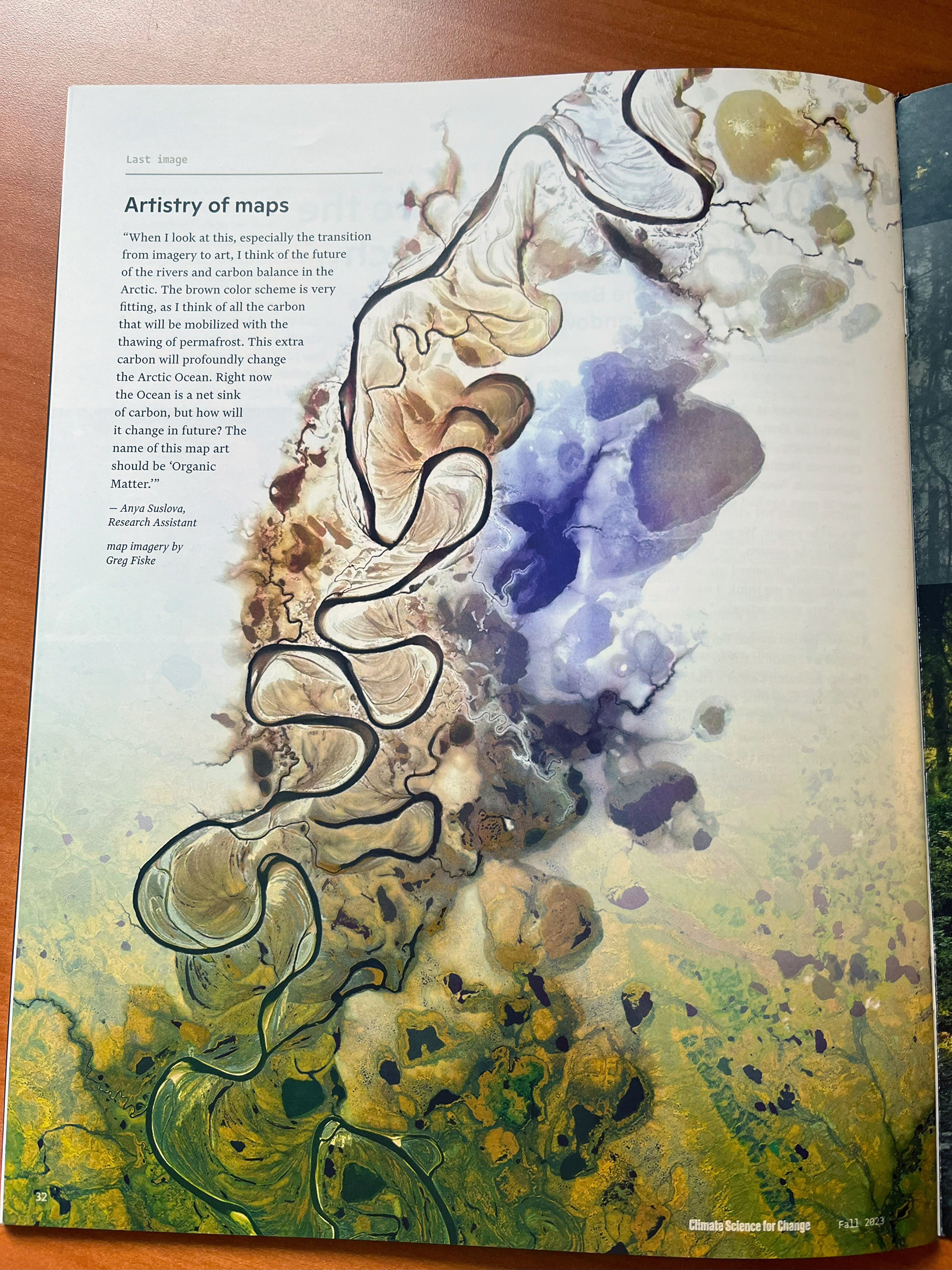
Greg Fiske
Putting science on the map
at Woodwell Climate Research Center. Cartographer | Analyst | Senior Research Associate | Climate | Arctic | Woods Hole | Fly Fisher
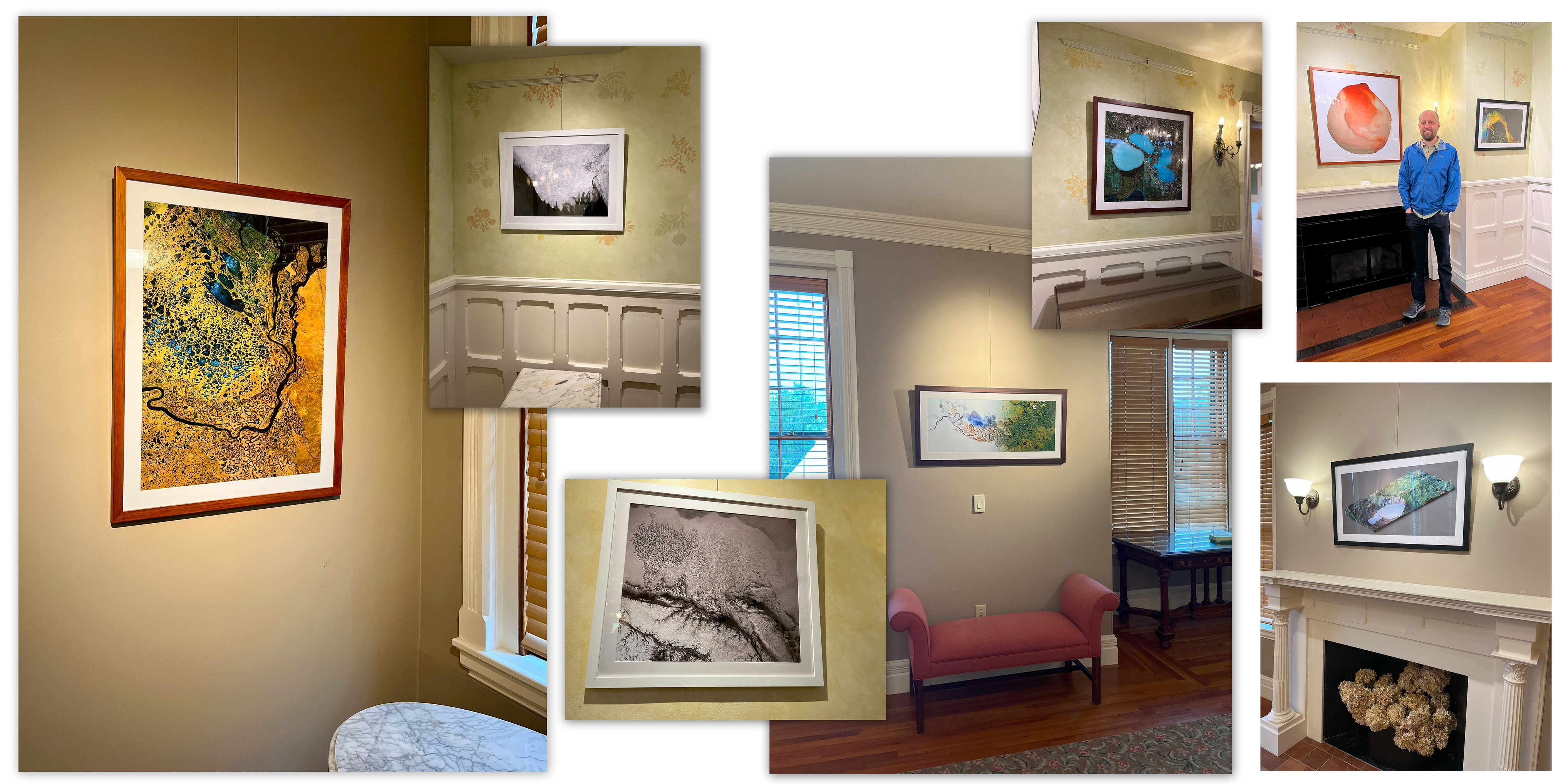
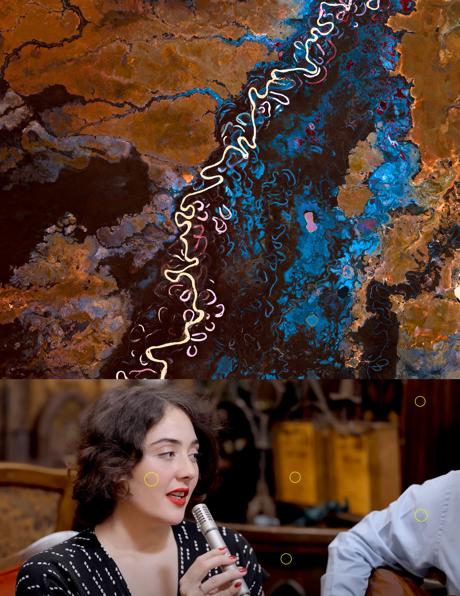
I've had the opportunity to work with some pretty outstanding Arctic ecosystem scientists over the last couple decades @WoodwellClimate. If you're on the Cape this summer, stop by Highfield Hall in Falmouth to see some art that represents the data in our work (https://bit.ly/3yq6eTR). I got a sneak peek yesterday of my contribution and it's pretty powerful to see your work behind glass, curated, and elegantly displayed. Can't wait to see the full exhibit!
Those in the path of totality. #eclipse
@jeremy Thanks and you bet! Here's a link to the data source: https://scholarworks.alaska.edu/handle/11122/1142

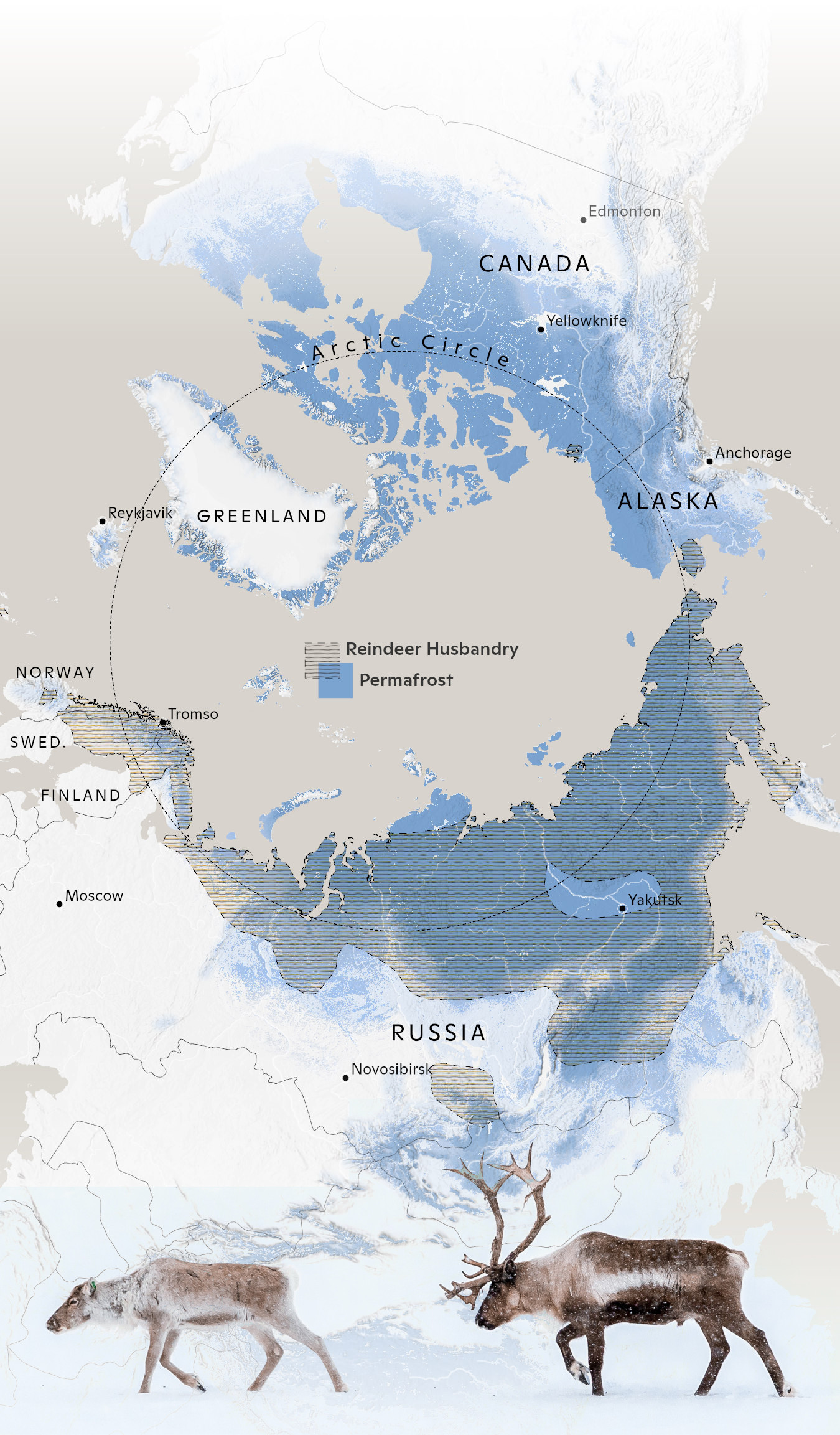
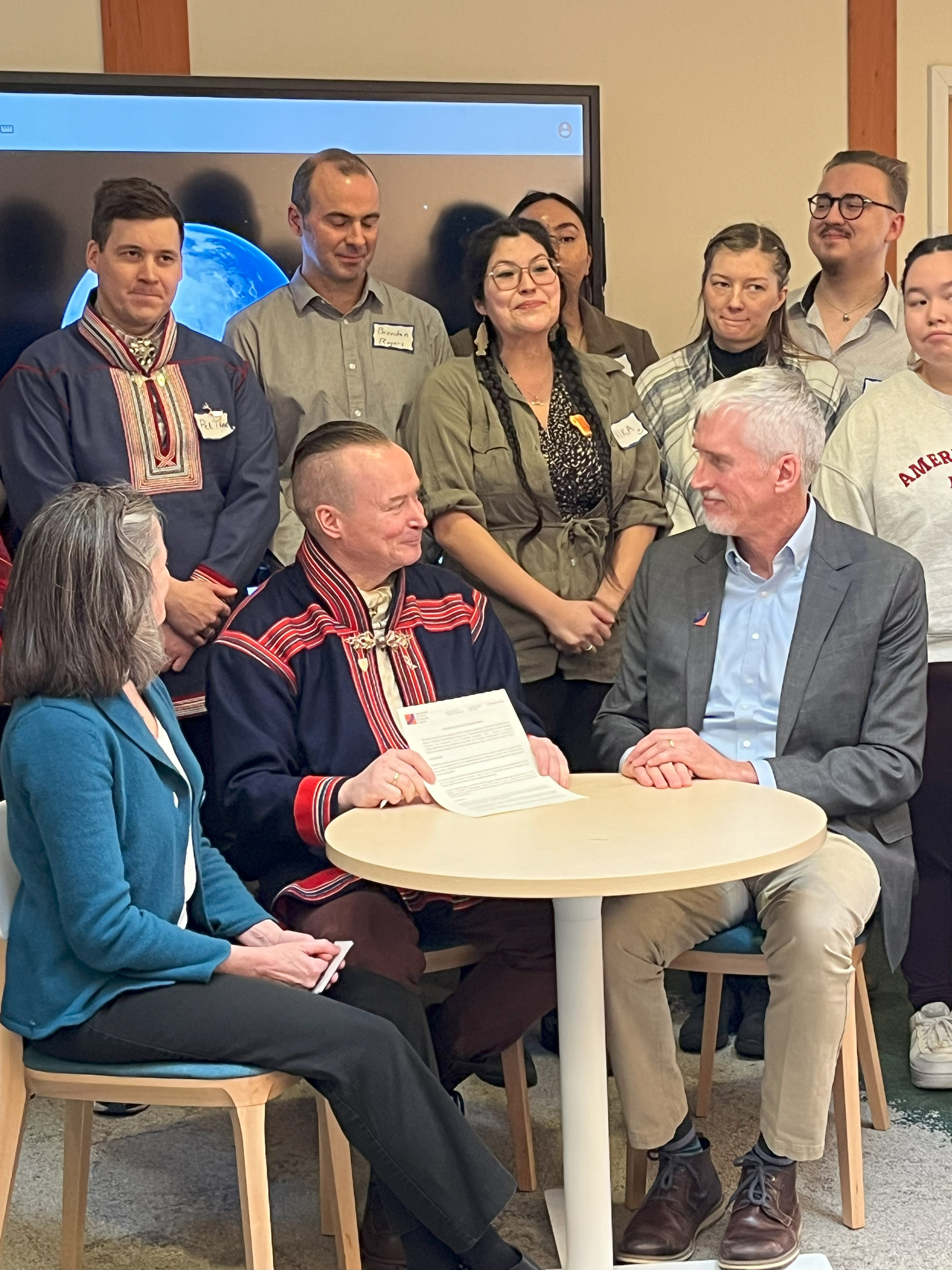
An inspirational visit yesterday with friends (old and new) from the International Centre for Reindeer Husbandry.
A great perspective on northern hemisphere darkness. Happy #solstice.
Data from Copernicus ECMWF ERA5
Graphics director Julie Waite is a master at weaving maps, photos, and print. Be on the lookout for the upcoming @WoodwellClimate magazine. 🗺️
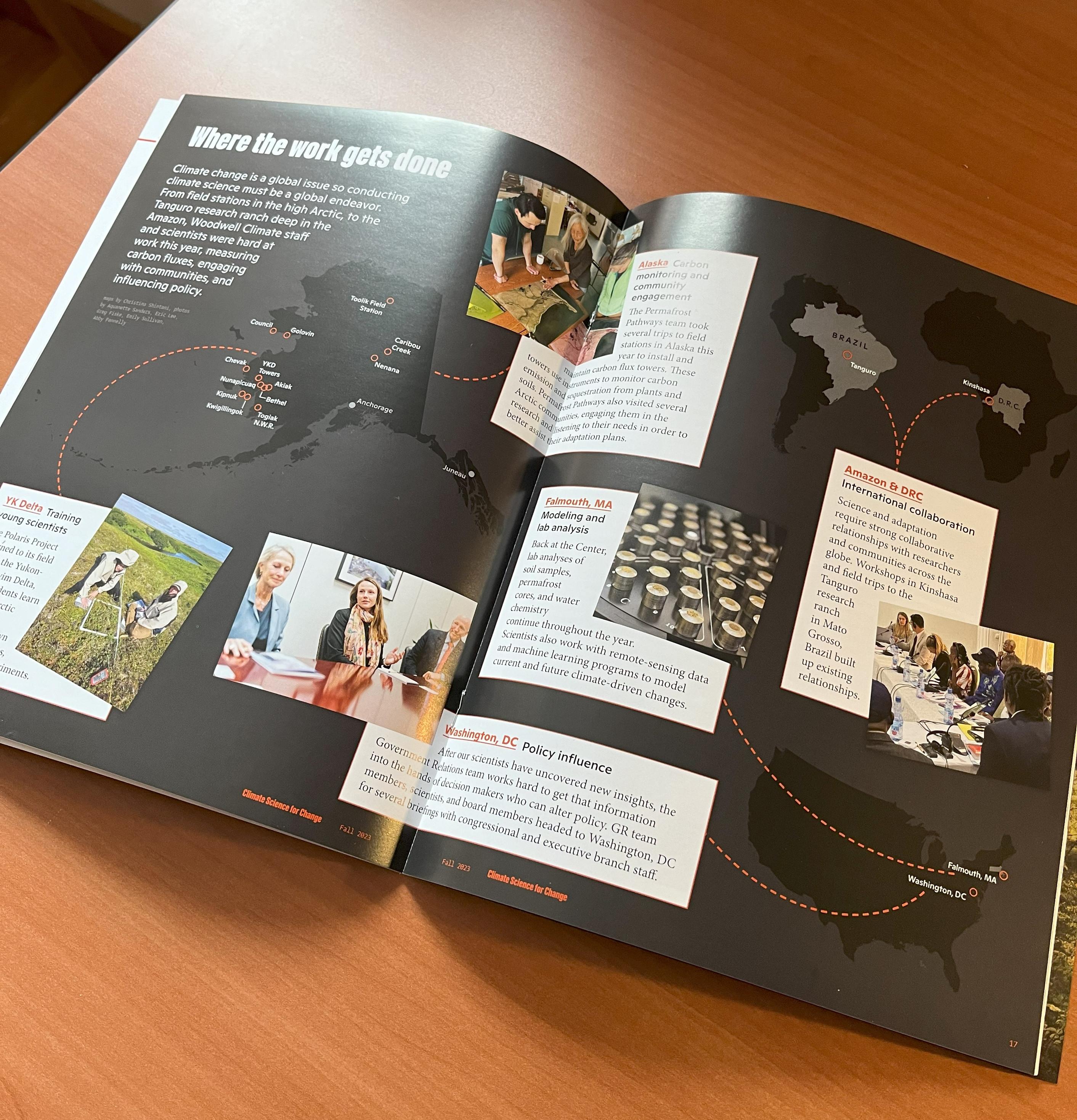
Meet the cartographers putting climate change on the map
https://www.woodwellclimate.org/cartography-climate-change/
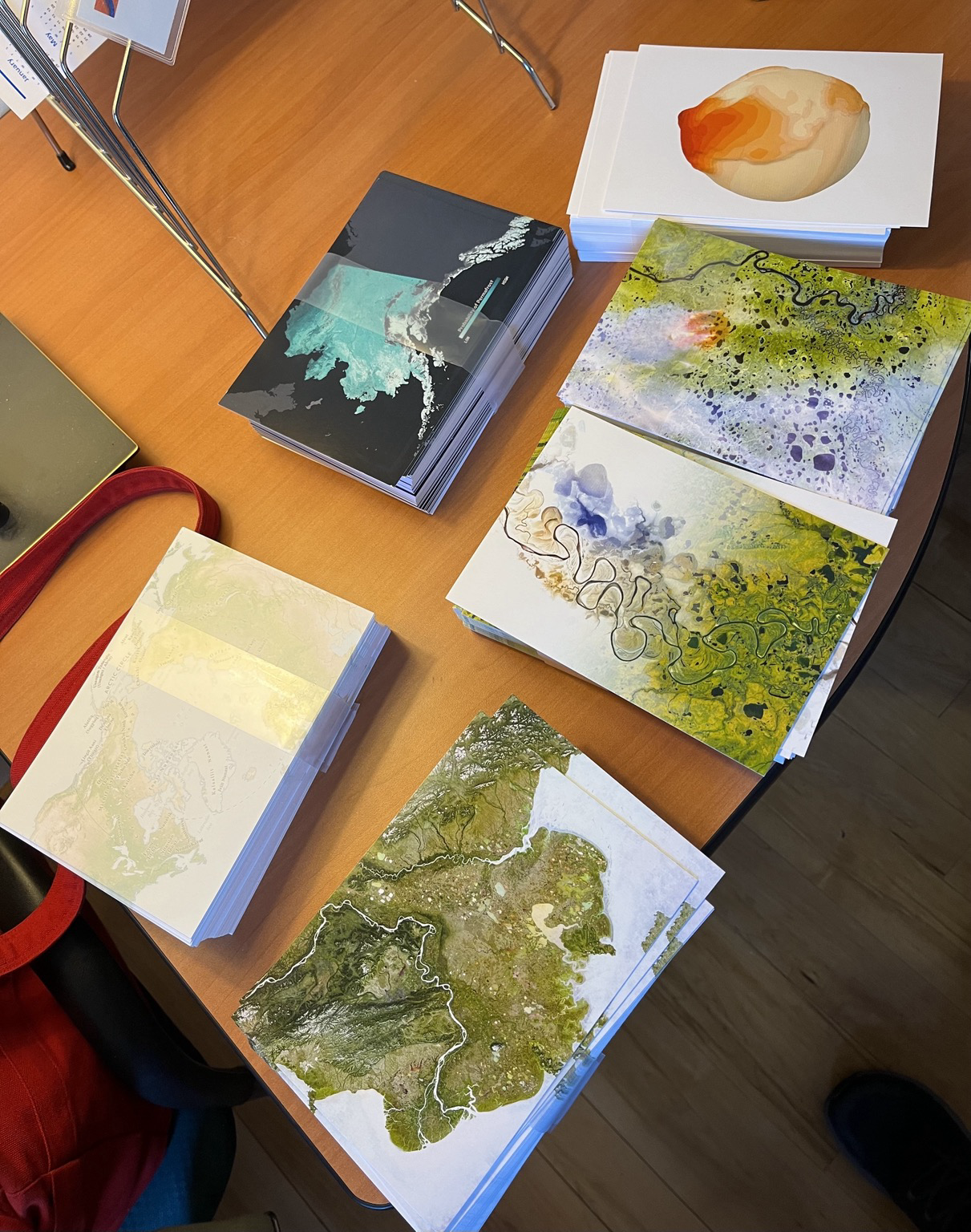
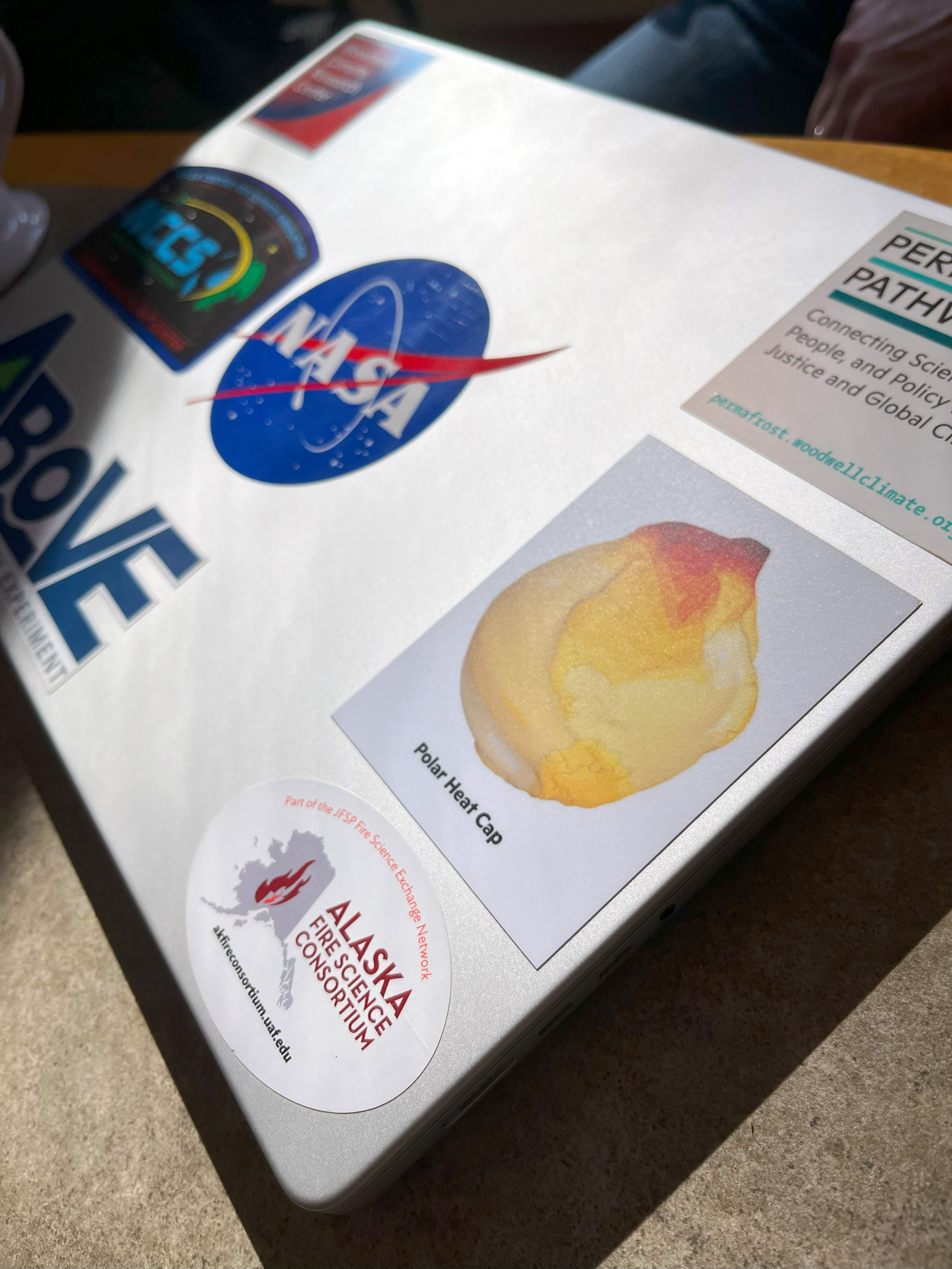
Love seeing our Polar Heat Cap map out there in the wild...
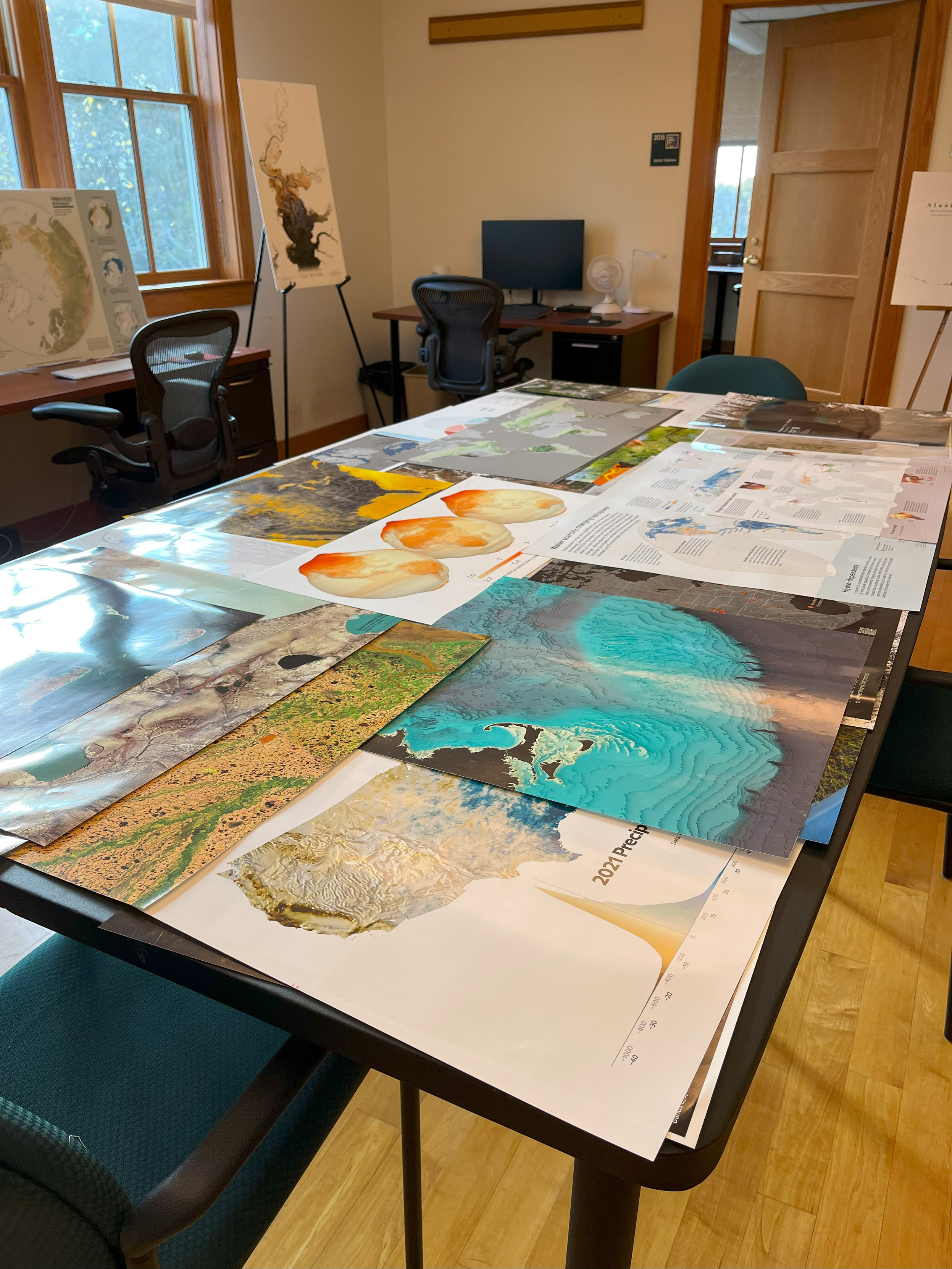
Another mappy day at Woodwell Climate Research Center
... chatting about maps, geospatial, and dataviz with visitors.
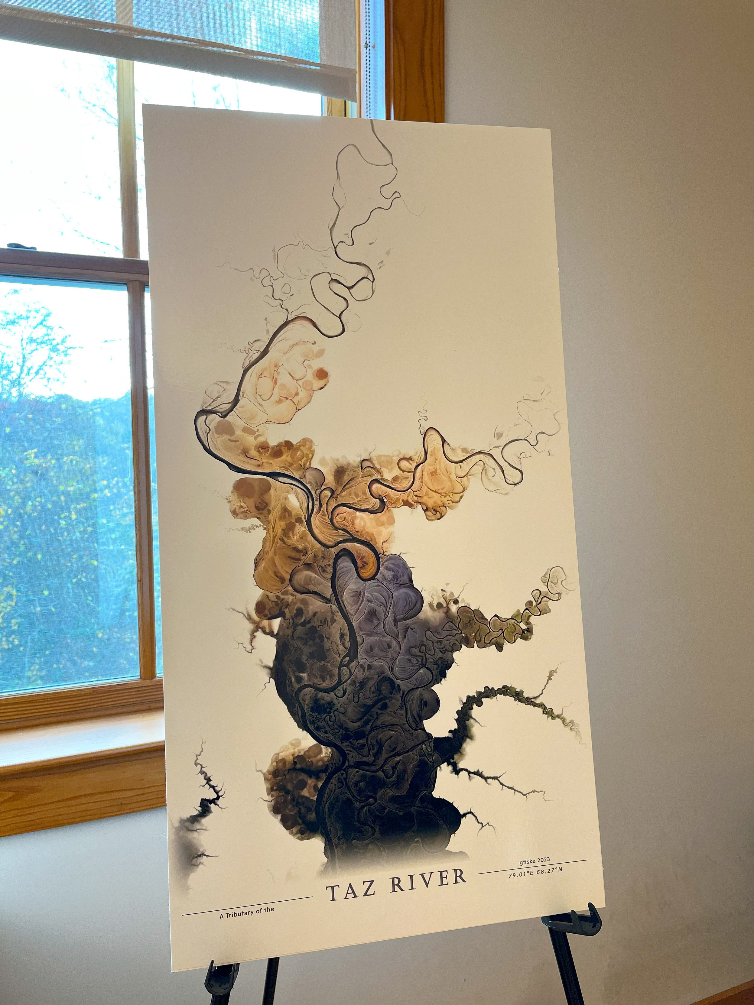
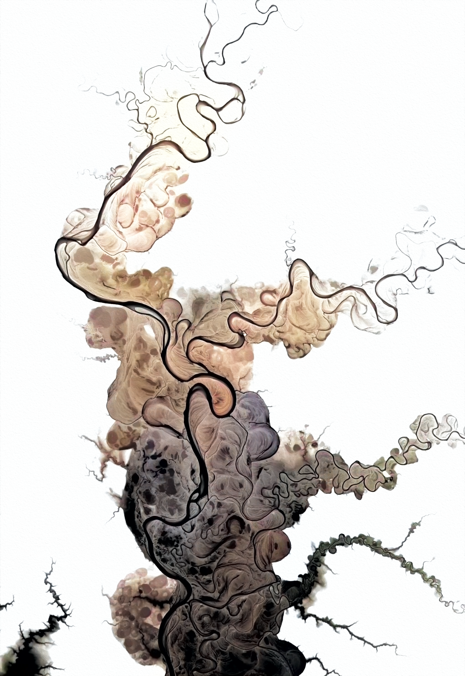
@stevefaeembra just elevation, with a retro color palette. Here's the coordinates if you want to check it out: 78.997°E 68.274°N
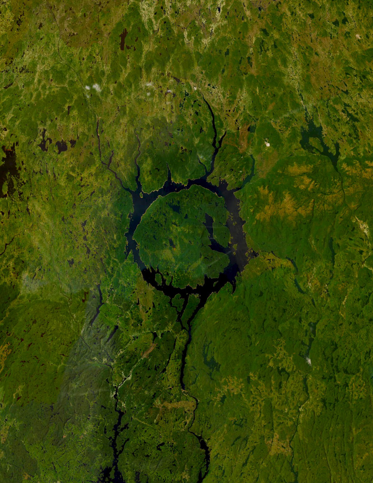
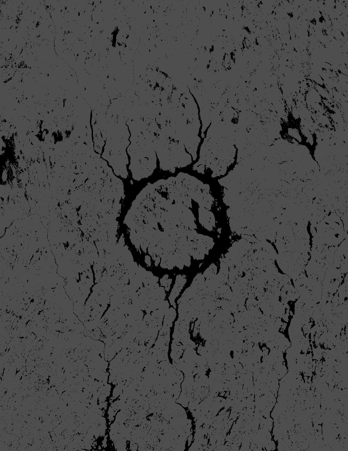
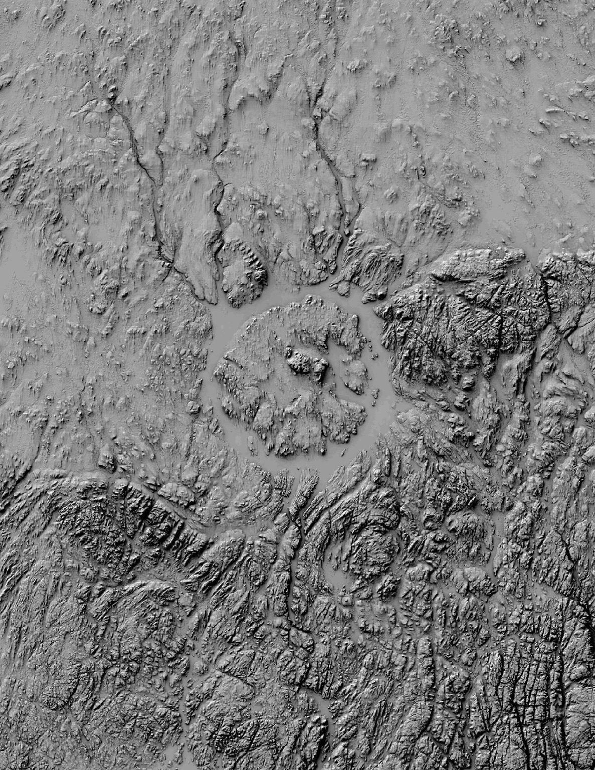
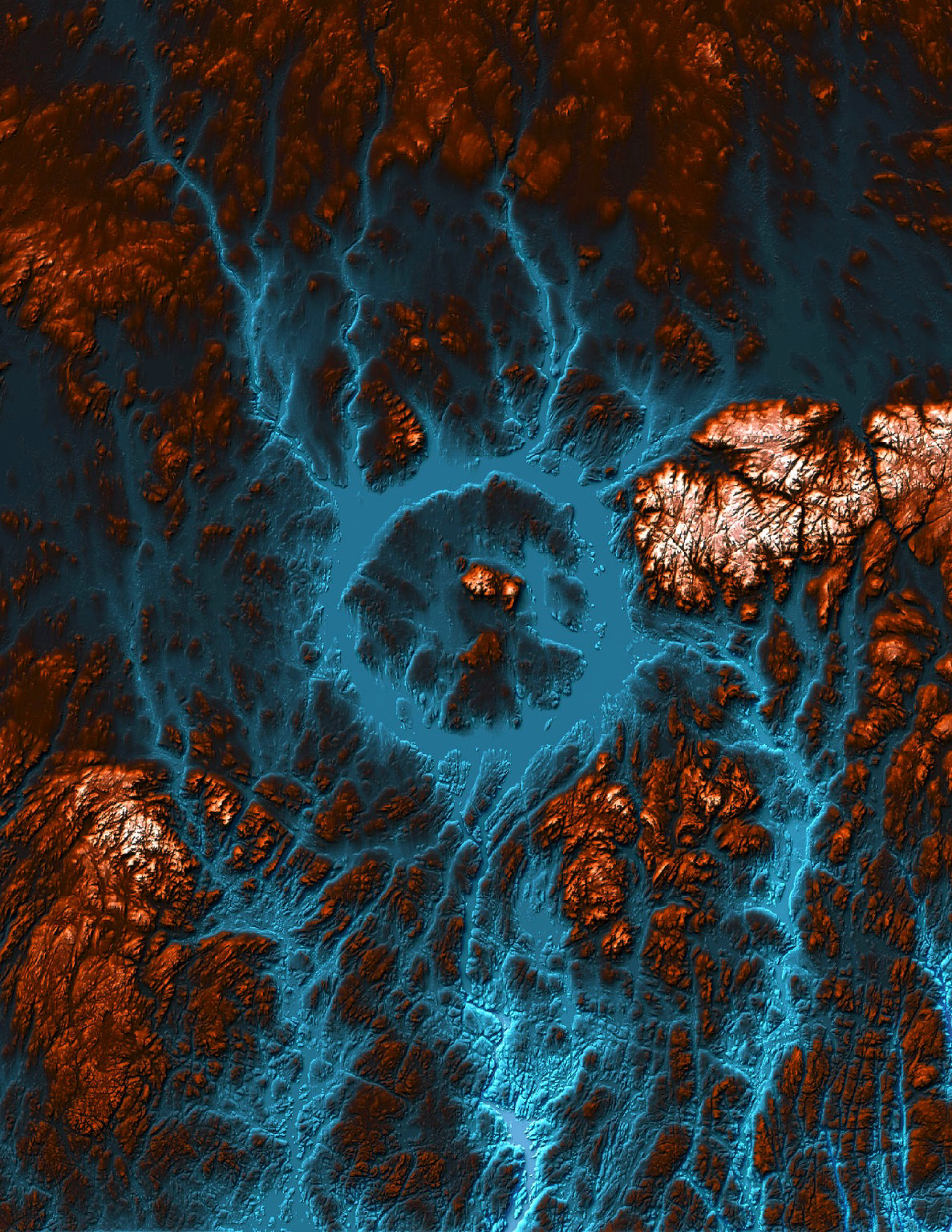
Downloading some of the new #ArcticDEM data for enhancing our abrupt thaw mapping models... couldn't help but to stop and take a 👀 at few rivers.
#screenshot
Greg Fiske boosted:
@g_fiske Lovely! Here’s a satellite view of Lake Manicouagan appearing between the clouds ☁️
Paid NASA Arctic-Boreal Vulnerability Experiment internship working with #GIS and #remotesensing https://stemgateway.nasa.gov/public/s/course-offering/a0B3d000001PvbJ/above-airborne-campaign-data-fusion

Client Info
Server: https://mastodon.social
Version: 2025.04
Repository: https://github.com/cyevgeniy/lmst