#AvoidSmoke #HazardReductionBurn #FirePermittedBurn #UpperKedronQld #BrisbaneQld #QG62 #QLDFire #BushfireWarning. See https://www.fire.qld.gov.au/Current-Incidents for official warnings from the QFD. DO NOT RELY ON THIS SERVICE FOR TIMELY EMERGENCY WARNINGS.
AVOID SMOKE (HAZARD REDUCTION BURN) - Upper Kedron (Brisbane) - fire as at 11:51am Thursday, 12 June 2025 (IF39-4590721)
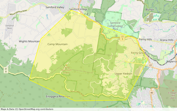
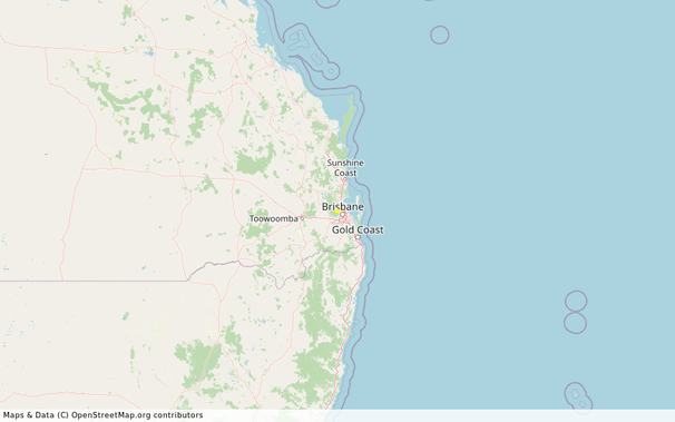
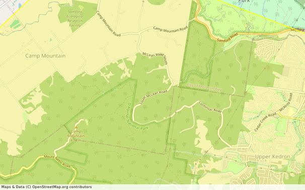
Location: Upper Kedron and surrounding areas, including Camp Mountain
Map: https://www.openstreetmap.org/#map=14/-27.412047266943/152.90478703398
Incident Type: FIRE PERMITTED BURN
Alert Level: Advice
Severity: Moderate
Action: Monitor
Expires: 2025-06-13T11:45:00+10:00
Smoke is currently affecting Upper Kedron and surrounding areas, including Camp Mountain. This is from a Queensland Parks and Wildlife Service hazard reduction burn at Enoggera Reservoir. This fire is under control.
- Stay inside and close windows and doors.
- Keep respiratory medication close by.
- Avoid driving through smoke if you can.
- Watch out for firefighters working in the area.
- Do not fly drones around the fire. Drones affect air operations.
- https://www.fire.qld.gov.au/Current-Incidents ← Click here for current QFD incidents and warnings
- https://www.fire.qld.gov.au/prepare/bushfire/prepare-for-bushfire-season ← Click here for bushfire preparation tips
- https://apps.des.qld.gov.au/air-quality/#health_levels_info ← Click here for health advice and air quality information
- Follow QFD on https://www.facebook.com/qldfiredepartment ← Facebook and https://x.com/QldFireDept ← X.com
- https://qldtraffic.qld.gov.au ← Click here for road closure information or call 131940
- See https://help.abc.net.au/hc/en-us/articles/5896732505103-How-can-I-find-ABC-TV-and-radio-frequencies-in-my-area for a listing of ABC Local Radio stations which may be broadcasting emergency information in your area. #AvoidSmoke #HazardReductionBurn #UpperKedronQld #BrisbaneQld #Advice #FirePermittedBurn #QG62
