#EastDevonWay

Helen Claytonhelenclayton@mas.to
2023-02-10

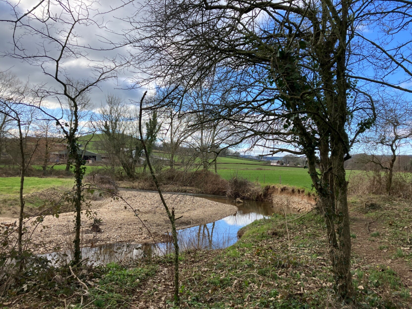
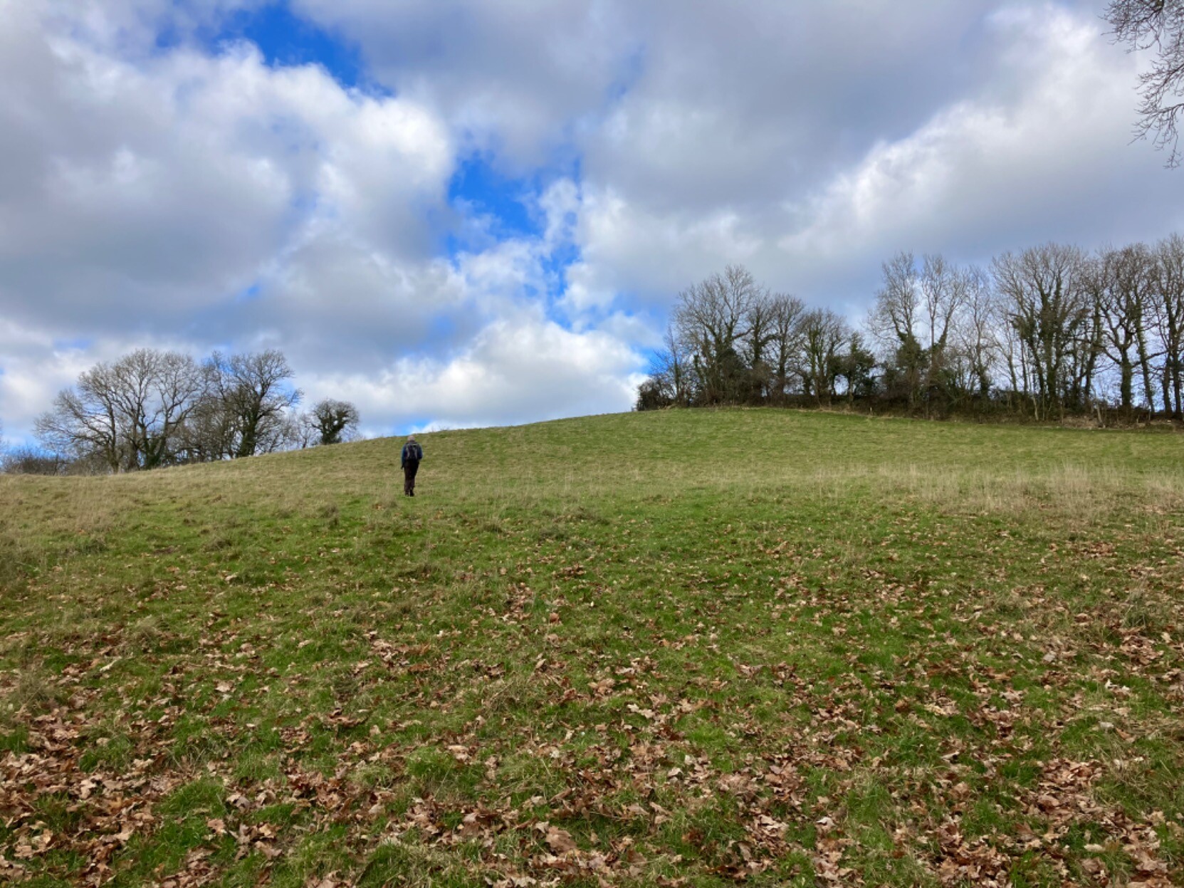
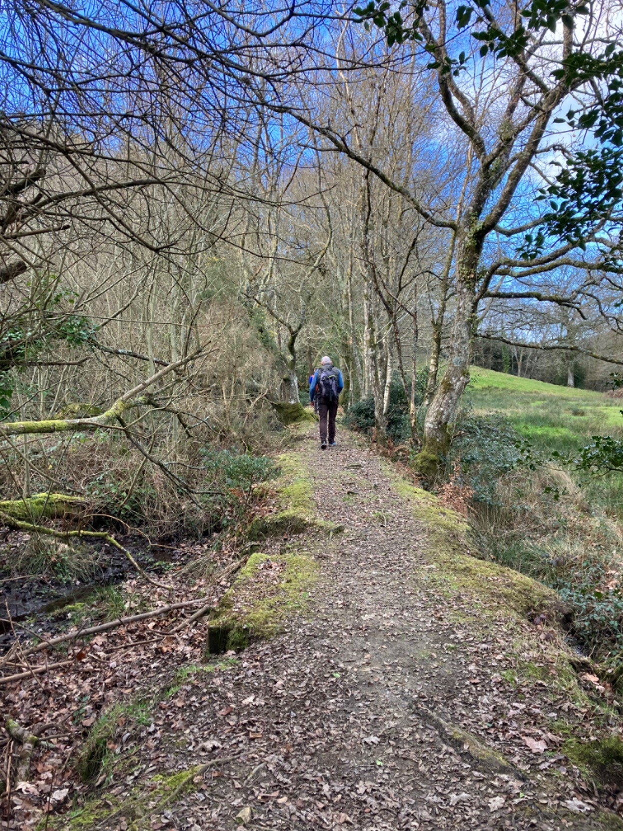
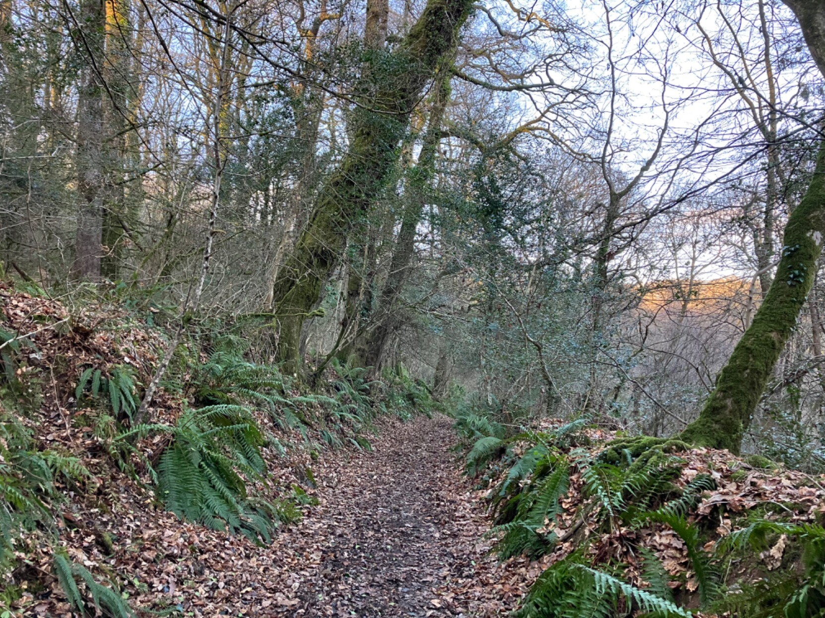
A change from my usual solo bimbling, yesterday I teamed up with a couple of fellow slowwayers to #hike a couple of #SlowWays, from #Axminster to #Colyton & then to #Honiton. Our combined forces meant we were able to ‘snail’ (verify) two routes & review an alternative option.

Great routes through beautiful #EastDevon countryside, following a good part of the #EastDevonWay, & through lovely ancient woodlands. The feel of spring in the air.

#walking #GetOutside #holloways #mosstodon

Photo of a river meandering through green fields. The river has cut into the bank on outside of the bend (on the right) leaving a sheer, sandy coloured cliff, which the footpath clings on to! On the inside of the bend is a shallow shingle beach. A few spindly trees line the banks. White clouds in the sky are breaking up revealing large patches of blue, which are reflected in the curve of the river.A photo of a steep hilly field. An unmarked footpath makes a beeline for the summit, the small figure of a hiker partway up. A clump of trees mark the top field boundary. The sky is blue, with a few white fluffy clouds.Photo shows a flat-topped earth bank (about 2 metres across) between a boggy woodland on the left & scrubby pasture on the right. A few bare trees & bright green moss line the edges of the bank. A footpath runs along the top of the bank. A hiker walks away from the camera, towards denser woodland. Glimpses of blue sky through the trees.Photo shows a sunken track through ancient woodland. The track surface is rich brown earth, a scattering of brown fallen leaves, the banks either side of the holloway are green with moss & ferns. The trees in the wood are still bare. A peachy glow from the sinking sun showing through the trees on the right, reflecting off the opposite side of the wooded valley beyond.

Client Info

Server: https://mastodon.social
Version: 2025.04
Repository: https://github.com/cyevgeniy/lmst