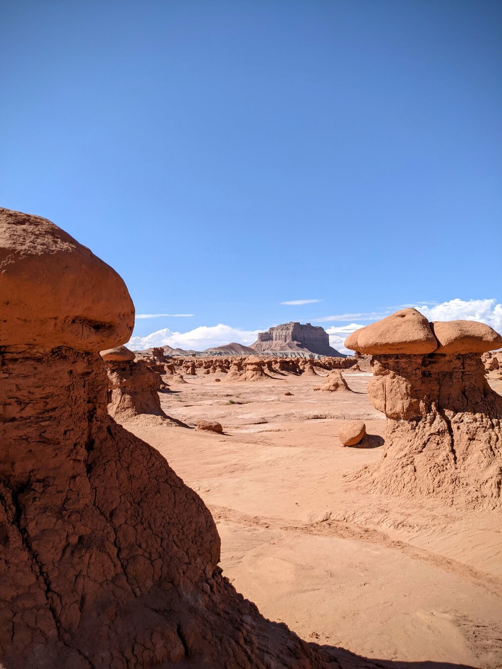
A view of Factory Butte from Goblin Valley State Park.
#Utah #Hanksville #GoblinValley #FactoryButte #RedRocks #Desert #Nature #Outdoor #Photography #SonyAlpha #SonyA6400 #A6400
#Hanksville
🔔#Earthquake (#sismo) M3.0 strikes 15 mi W of #Hanksville (#Utah) 6 min ago. More info: https://m.emsc.eu/?id=1729010
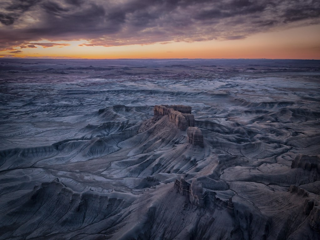
Badlands I Utah by mcalma68
https://tmblr.co/Z7VXvxgTKR3aWq01
#hanksville #sunrise #landscape #utah #badlands #overlook #moonscape #verenigdestatenvanamerika #dronephotograpy #flickr #thingsdavidlikes
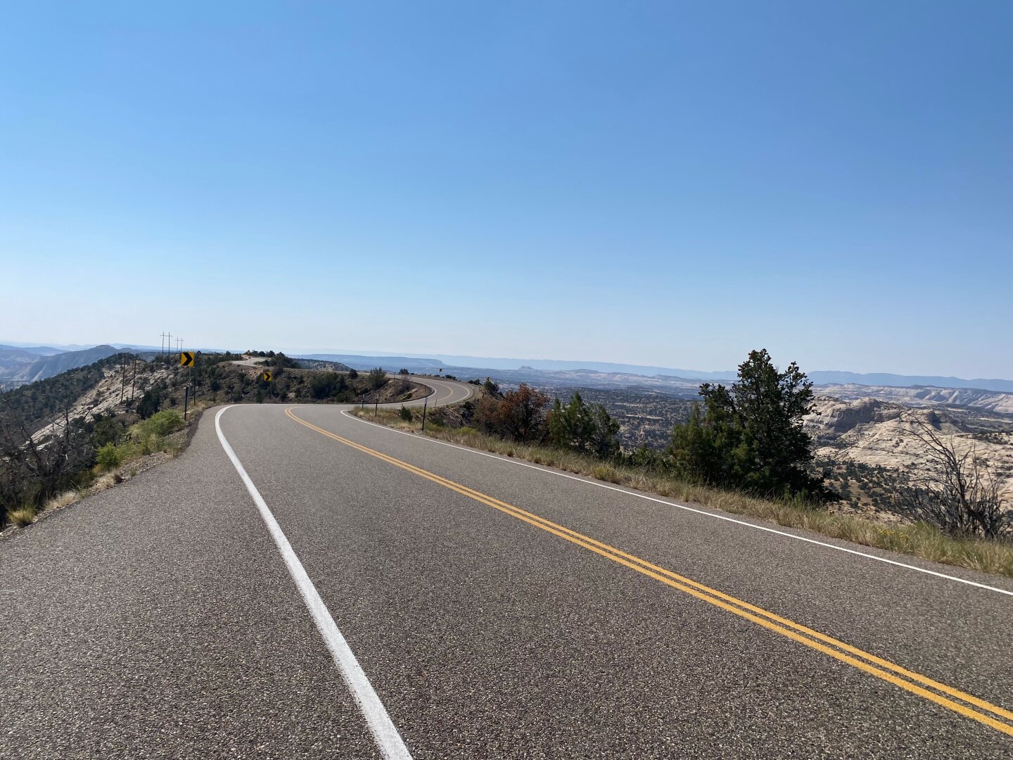
#Utah #Vacation Day 10 was another travel day full of sweeping #desert vistas.
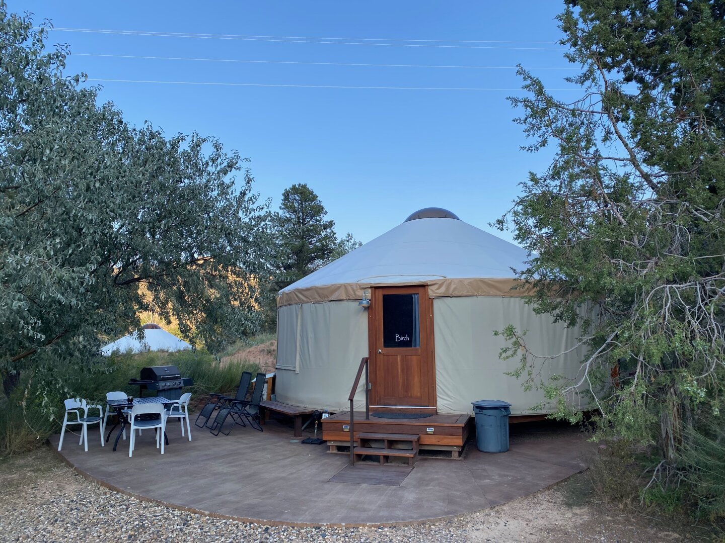
We retraced our route back up Hwy 12 to Torrey then took Hwy 24 through Hanksville and on to I-70. Stopping in Capitol Reef briefly, we were disappointed to find #GiffordHouse already sold out of pies for the day. The road north of #Hanksville was new territory for us; what desolation! I loved it! Funny to see most vehicles pulling boat trailers out here in the desert; guess they’re coming from Lake Powell. The reality of civilization started to erode our sense of giddy freedom as we got on the Interstate with all the trucks and other traffic. Weary from the road, we arrived in #GrandJunction at dusk, checked into a crummy hotel near the airport, grabbed a quick bite downtown and went to bed early to be ready for our return flight back east in the morning. All told, we drove about 1400 miles and had a blast. I’m very grateful to be able to take a trip like this and for my wife who does most of the planning and puts up with my antics on the road.
Where should our next western adventure take us? Wyoming & Montana? Washington state? Once they are visited, we’ll have been through most of the western US. Maybe we’ll even find a place to spend our retirement in this vast, wild place beneath the expansive sky. Stay tuned.
#travel #yurt
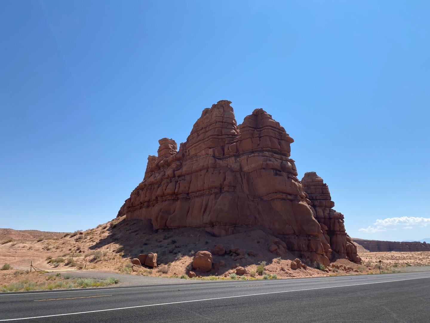

Badlands I Utah by mcalma68
https://tmblr.co/Z7VXvxgFw_DmSu00
#hanksville #utah #verenigdestatenvanamerika #united #states #badlands #national #park #long #dong #silver #spire #landscape #rocks #dronephotography #flickr #thingsdavidlikes
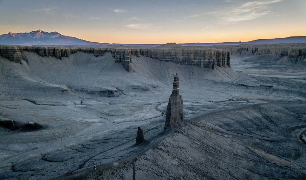
Middle Earth | Utah by reinaroundtheglobe
https://tmblr.co/Z7VXvxf-OhVpOu00
#landscape #usa #utah #dji #aerialview #hanksville #flickr #thingsdavidlikes
The Fremont River winds through Capitol Reef National Park and into Hanksville Utah, where it turns into the Dirty Devil River - and ultimately the Colorado River.
#Rivers #PhotoMonday #Monday #fotomontag #Water #BlueSky #Utah #Mountains #ColoradoRiver #Hanksville #USA #RoadTrip #RVNomad #Travel #Photography
A really great morning 4 years ago. #photography #landscapephotography #dawn #twittermigration #desert #travel #geology #hiking #publiclands #tatooine #astrophotography #hanksville #followfriday
Client Info
Server: https://mastodon.social
Version: 2025.04
Repository: https://github.com/cyevgeniy/lmst