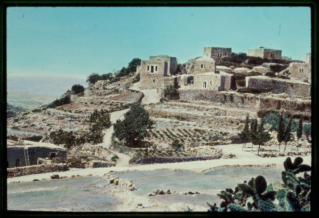
Jaffa to Jerusalem. Lower Beth Horon. Joshua 16:3 between 1950 and 1977.
Matson Photo Service
1 slide : color ; 2 x 2 in.
#Jaffa #Jerusalem #BethHoron #Joshua16:3 #MatsonPhotoService #theMiddleEast #NorthAfrica #WestBank #photography
Jaffa to Jerusalem. Lower Beth Horon. Joshua 16:3 between 1950 and 1977.
Matson Photo Service
1 slide : color ; 2 x 2 in.
#Jaffa #Jerusalem #BethHoron #Joshua16:3 #MatsonPhotoService #theMiddleEast #NorthAfrica #WestBank #photography
![This image depicts a rural landscape, possibly from the Middle East or North Africa. The scene shows a rugged terrain with rocky outcrops and sparse vegetation, including trees that appear to be olive groves scattered across the fields. There is a winding path cutting through the middle of the photo, suggesting access for people or animals.
The background reveals a series of small buildings or houses in what could be a village setting, with some larger structures possibly indicating storage facilities like silos or barns. The sky above has a hazy quality, perhaps due to atmospheric conditions or photographic processing, and gives an overall impression that the image is somewhat old-fashioned, likely from mid-20th century.
The coloration of the photo leans towards cooler tones with a greenish tint, which might be indicative of film stock used at the time. The presence of this particular landscape in "Jaffa to Jerusalem" suggests it could have been taken during an archaeological or anthropological expedition between 1950 and 1977.
The photograph is credited to Matson Photo Service, indicating that they were responsible for capturing such images as part of their work. The specific image dimensions are provided in the alt text reference ("Matson Photo Service" with "2 x 2 in"), which may be relevant information if you're looking at this within a larger collection or databa [...]](https://files.mastodon.social/cache/media_attachments/files/115/708/985/649/490/833/original/be9f44dd44ffa1ba.jpeg)
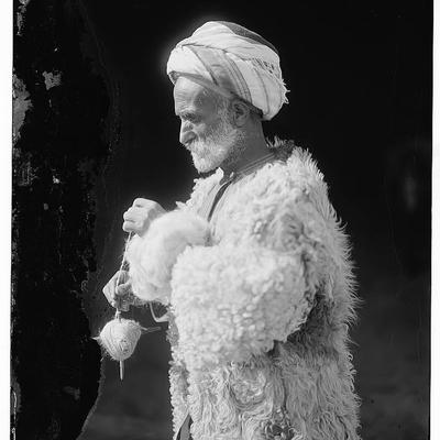
Jaffa to Jerusalem. Upper Beth Horon village. Joshua 16:5 between 1950 and 1977.
Matson Photo Service
1 slide : color ; 2 x 2 in.
#Jaffa #Jerusalem #BethHoron #Joshua16:5 #MatsonPhotoService #Israel #UpperBethHoron #Joshua #WestBank #photography