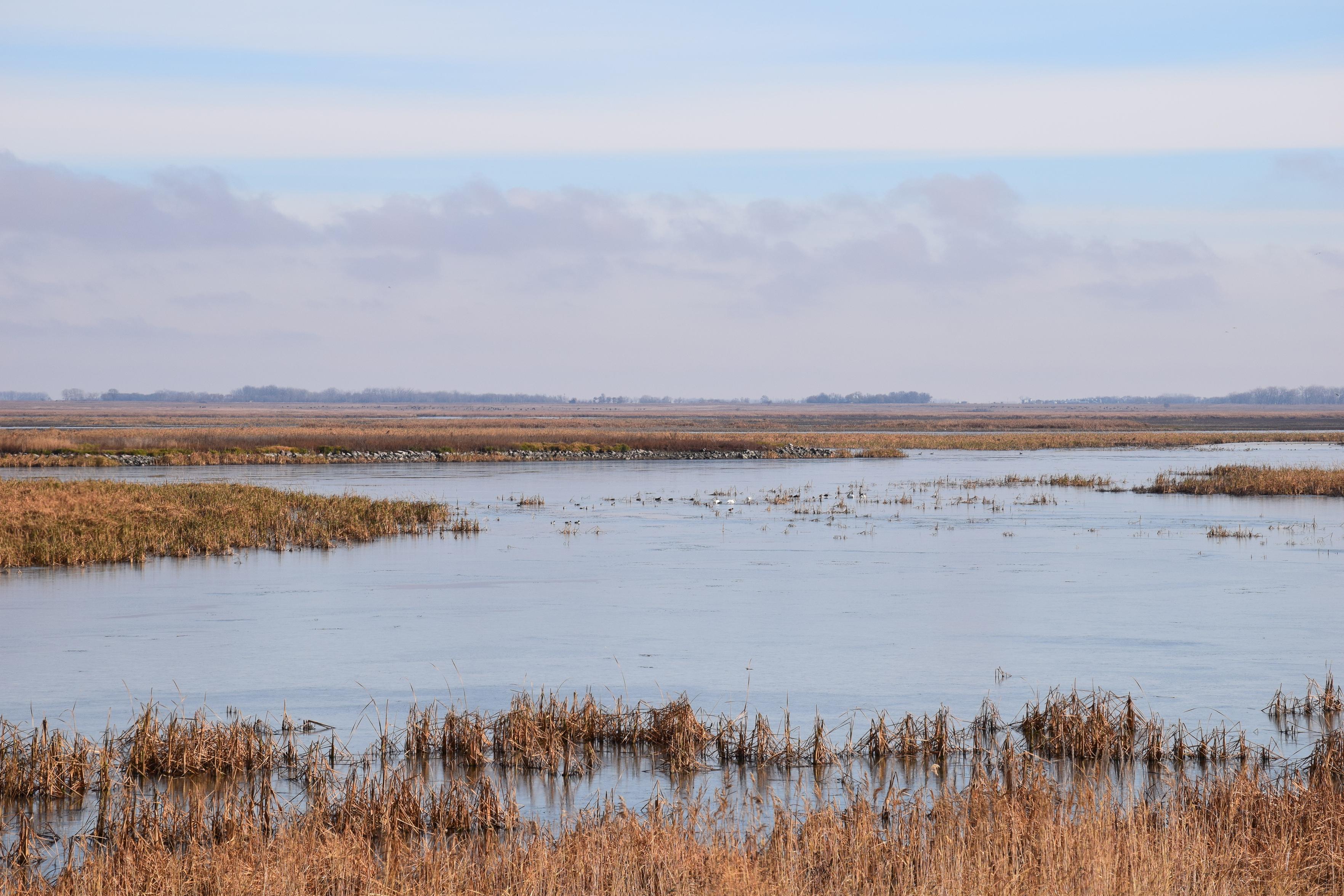
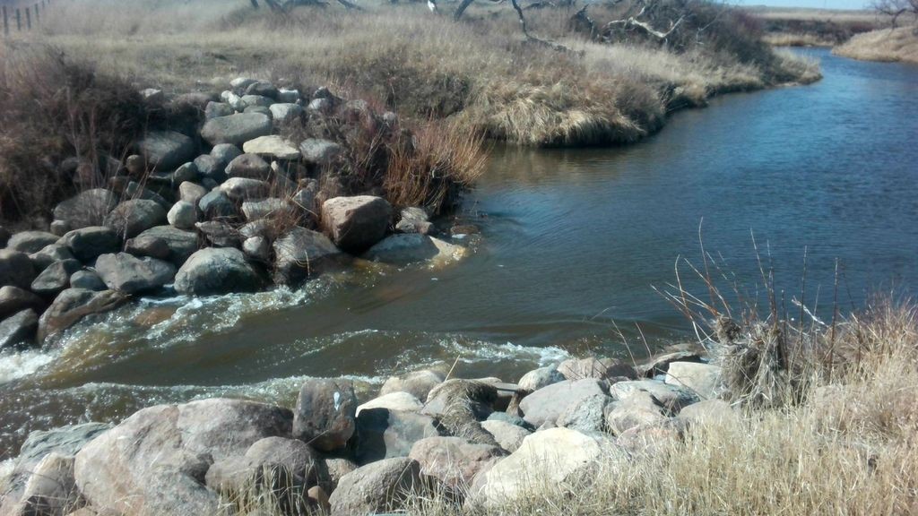
#SourisRiver

Planetary Ecologistplanetaryecologist
2025-02-22

Lake Souris (Paleogeography πŸ¦•)

The Glacial Lake Souris occupied the basin of the Souris River from the most southern portion of this river's loop in North Dakota to its elbow in Manitoba, where it turned sharply northward and passed through the Tiger Hills. The length of Lake Souris was about 170 miles, from latitude 48Β° to latitude 50Β°35', and its maxi...

en.wikipedia.org/wiki/Lake_Sou

International Joint Commissionijcsharedwaters
2024-11-19

🌍 Celebrating !
GIS helps tackle critical challenges by turning data into actionable insights. Explore an interactive that illustrates 50 years of water quality trends in the basin, showcasing how geospatial tools inform decision-making:

πŸ”— ijc.org/en/souris-river-water-

2024-11-16

Each year I pack a #giftbox filled w/goodies from throughout #PrideofDakota region. Mighty Missouri #coffee; friends roast the beans. #RedRiverValley represents w/Giant #sunflowerseeds. #Pretzel #snacks: bag of Tangles, Dot’s #chocolate. Both hail from the #SourisRiver region. Any suggestions on what to include for #westriver #treats in the future?

I remembered my furry friends by including a #dogtreat.

All were purchased @ the gift shop or grocery store. #buylocal

International Joint Commissionijcsharedwaters
2024-08-05

Explore the Souris River basin with a new GeoNarrative , developed by USGS and IJC. Based on a USGS Scientific Investigations Report, this tool aids in assessing water-quality changes over time. Mobile-friendly β€” give it a try πŸ—ΊοΈ
storymaps.arcgis.com/stories/8

International Joint Commissionijcsharedwaters
2024-05-09

In person or online: Join the International Souris River Board for a June 25 Public Meeting in Regina, Saskatchewan πŸ‡¨πŸ‡¦ ijc.org/en/srb/join-internatio

The Souris River near Ralph, Saskatchewan. Credit: Water Survey of Canada

Client Info

Server: https://mastodon.social
Version: 2025.04
Repository: https://github.com/cyevgeniy/lmst