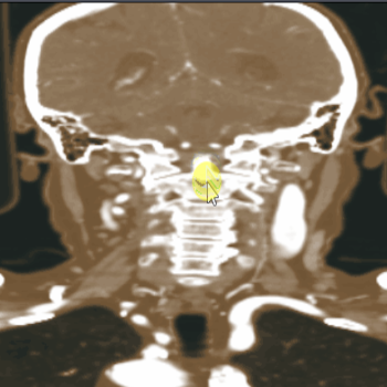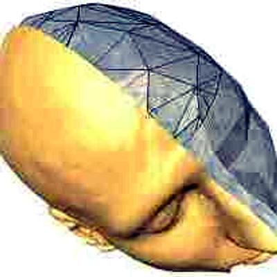
There are a lot of striking examples of bad and misleading visualizations out there. Even specific websites dedicated to the topic can be found. Yet, most of them only discuss charts and maps. Examples for bad 3D visualizations of spatial data (medical, flow, engineering, biological, climate, wheater, ...) are really hard to find.
Does anyone know of a good source for those?
#visualization #scivis #ieeevis #eurovis #dataviz #flowvis #biovis #medvis