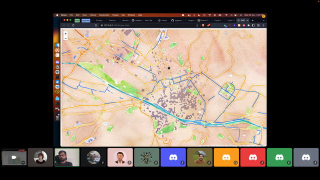
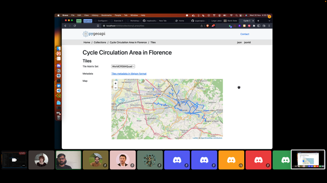
Now you can publish OGC API Tiles with #pygeoapi using: #elasticsearch, #pg_tileserv, mapbox tiles in disk, or other formats you like 😀 #OGCAPI #CODESPRINT19 There is no excuse anymore. for not being #OGC compliant, while using vector tiles!
#CODESPRINT19
I could not resist trying the new functionality from #pygeoapi that gives support to a generic template, with #pg_tileserv : it works! 👏 #OGCAPI #standards #tiles #CODESPRINT19
@xurxosanz It's real: support was added to render #elasticsearch vector tiles in #pygeoapi !! 😊 #OGCAPI #CODESPRINT19
https://github.com/geopython/pygeoapi/pull/1050
OGC API Maps, Tiles and Coverages in the same client - demo from #GNOSIS at the #OGCAPI #CODESPRINT19 #standards #OGC
Standup on the last day of the #OGCAPI #CODESPRINT19 , already showing some promising demos. Looking forward to watching the demo session, later on today! 😀 #standards #REST #openapi #webdev
The new contribution from @IvanSanchez to #pygeoapi enables the web map client to preview #OGCAPI coverages, with multiple projections! 👏 #CODESPRINT19 #standards #OSGEO #FOSS4g
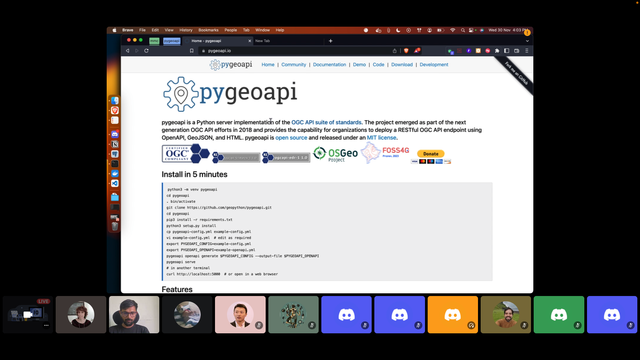
Great #tutorial from krishna lodha, on serving #OGCAPI Tiles from #pygeoapi, and consuming them everywhere - #mentorstream of the OGCAPI #CODESPRINT19
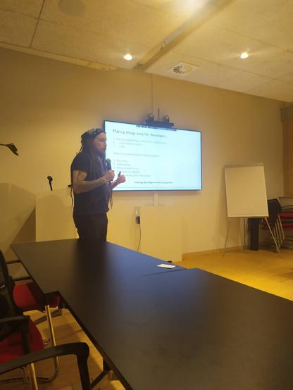
Michael Gordon, from Ordnance Survey talks about turning developers into envagelists - talk at the #OGCAPI #CODESPRINT19 #DeveloperExperience #NationalMapAgency #DataAsAService #standards #OGC
We have started the #OGCAPI #CODESPRINT19 in brussels & #discord , with presentations about different #OGC #standards that support creating web maps
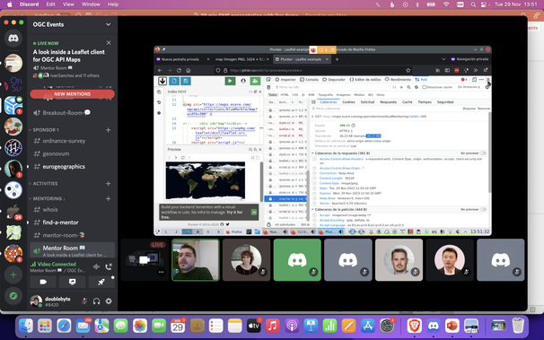
"Be mindful of how much information you are requesting through the network, when you draw a map" - @IvanSanchez at the #mentorstream of #OGCAPI #CODESPRINT19 #tutorial #leaflet #GIS #Maps #javascript
Would you like to take a look inside a #Leaflet client for OGC API Maps? Check-out the #tutorial from @IvanSanchez at the mentor stream of the #CODESPRINT19 #ogcapi #ogc #standards #javascript https://github.com/opengeospatial/developer-events/wiki/Web-Mapping-Code-Sprint#a-look-inside-a-leaflet-client-for-ogc-api-maps
Check-out the #tutorial from @krishnaglodha@twitter.com about Delivering Vector Tiles using #pygeoapi , at the mentor stream of the #CODESPRINT19 #ogcapi #ogc #standards #geopython https://github.com/opengeospatial/developer-events/wiki/Web-Mapping-Code-Sprint#delivering-vector-tiles-using-pygeoapi
Another standard was added to the code: #OGC #CODESPRINT19 : OGC Styles & Symbology - a conceptual model for styling and symbology. https://github.com/opengeospatial/styles-and-symbology
