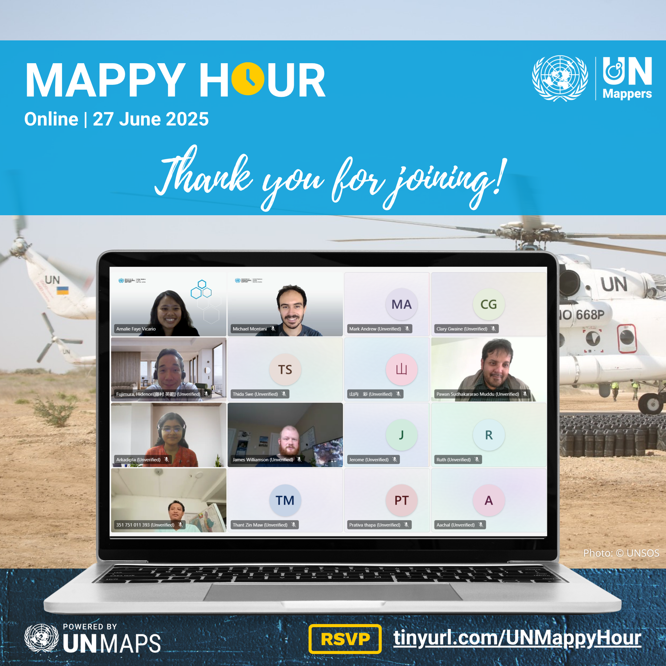
Thank you for joining our Mappy Hour last month! 🤩💙
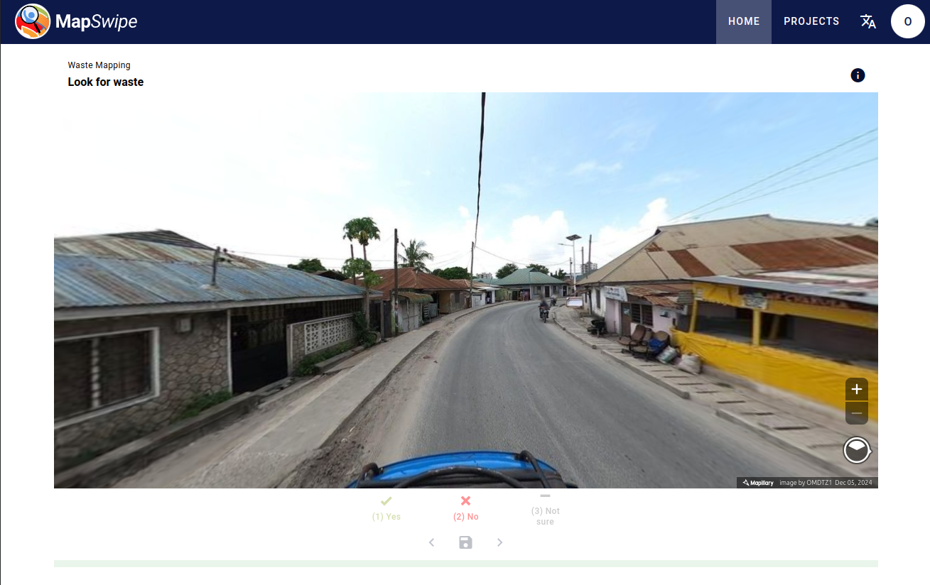
We are mapping agricultural waterways and farmlands to support #FAO 🌱
📌 https://tinyurl.com/UNMFAOprojMauritania
▲ Priority mapping: Project #23832
https://tasks.hotosm.org/projects/23832/
🗪 Join us in Discord!
https://bit.ly/UNMappersDiscord
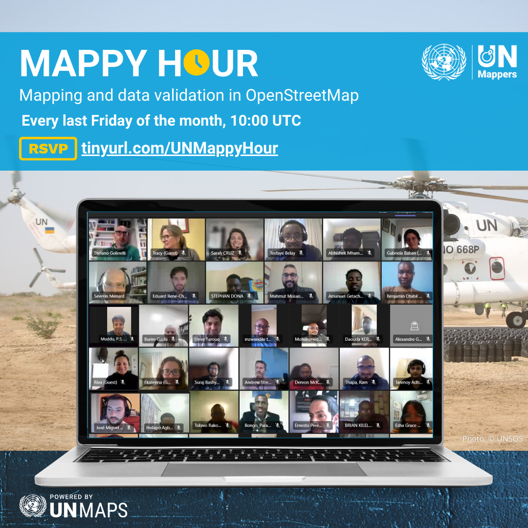
📅 Our next Mappy Hour is on 25 July. You can register as early as now!
https://tinyurl.com/UNMappyHour
See you in UN Mappers spaces! 💙
#UNMaps #UNMappers #OpenStreetMap #opendata #crowdmapping #volunteering #MappyHour #UNMappersMappyHour