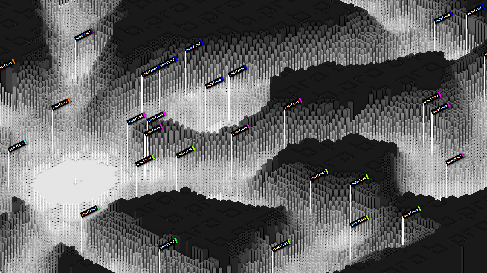
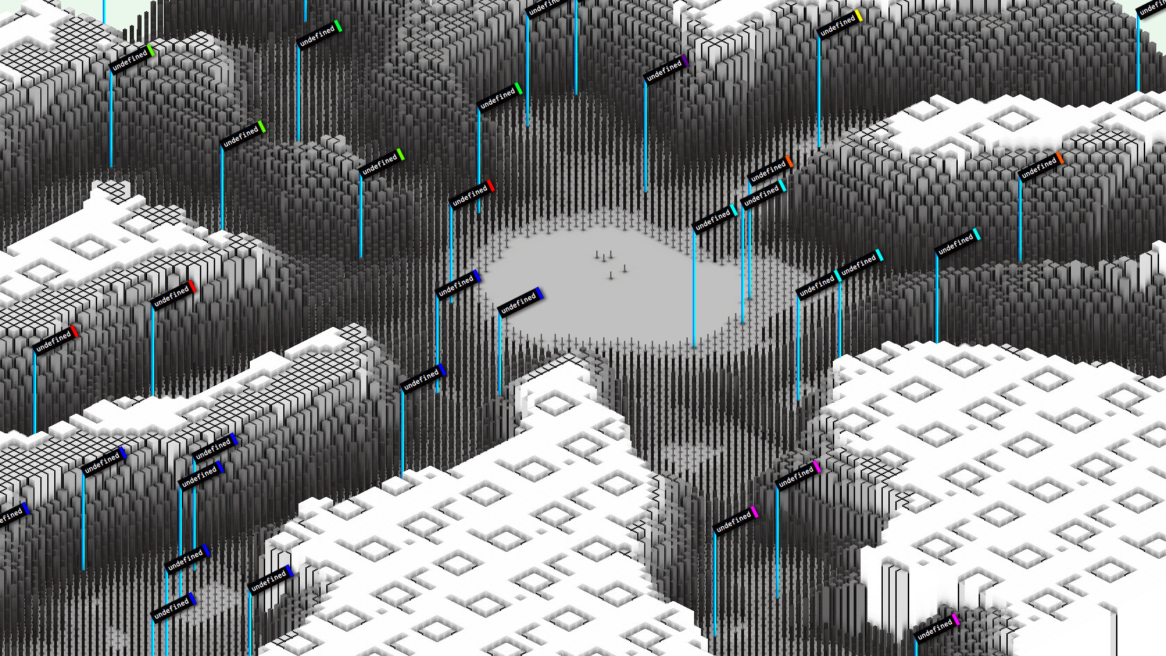
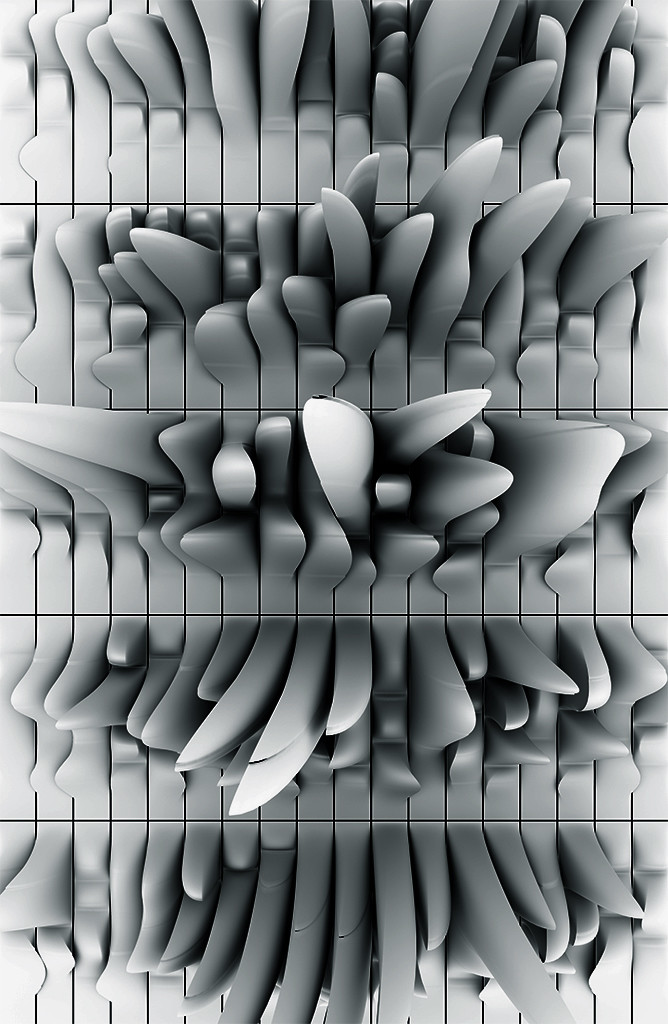
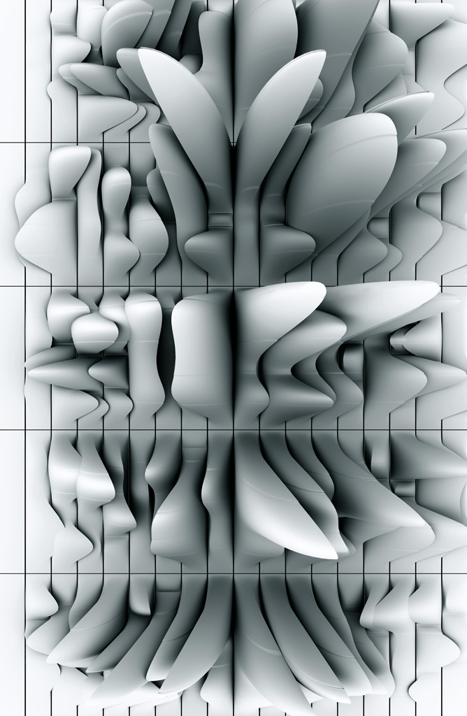
Undefined terrain (2010)
Early research sketches for an experimental, mapping/GIS-inspired UI prototype. The idea was to place different content pieces on an initially empty flat surface and then use traffic/access patterns to erode the space around each item, slowly forming a 2.5D terrain of valleys/canyons visualizing/revealing navigational usage patterns and creating a vast navigable space. My initial prototype (shown here) was for the terrain to be constructed from a pre-rendered set of isometric tiles with pre-baked ambient occlusion shadow maps (for which I wrote a custom AO renderer in Java). The thousands of tiles were loaded as a single PNG sprite sheet for in-browser canvas drawing (this was before WebGL)... Terrain erosion simulation was done dynamically via my toxiclibs simutils library (which I partially ported to JavaScript)...
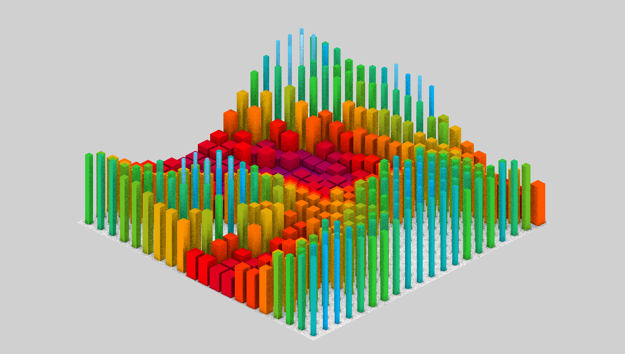
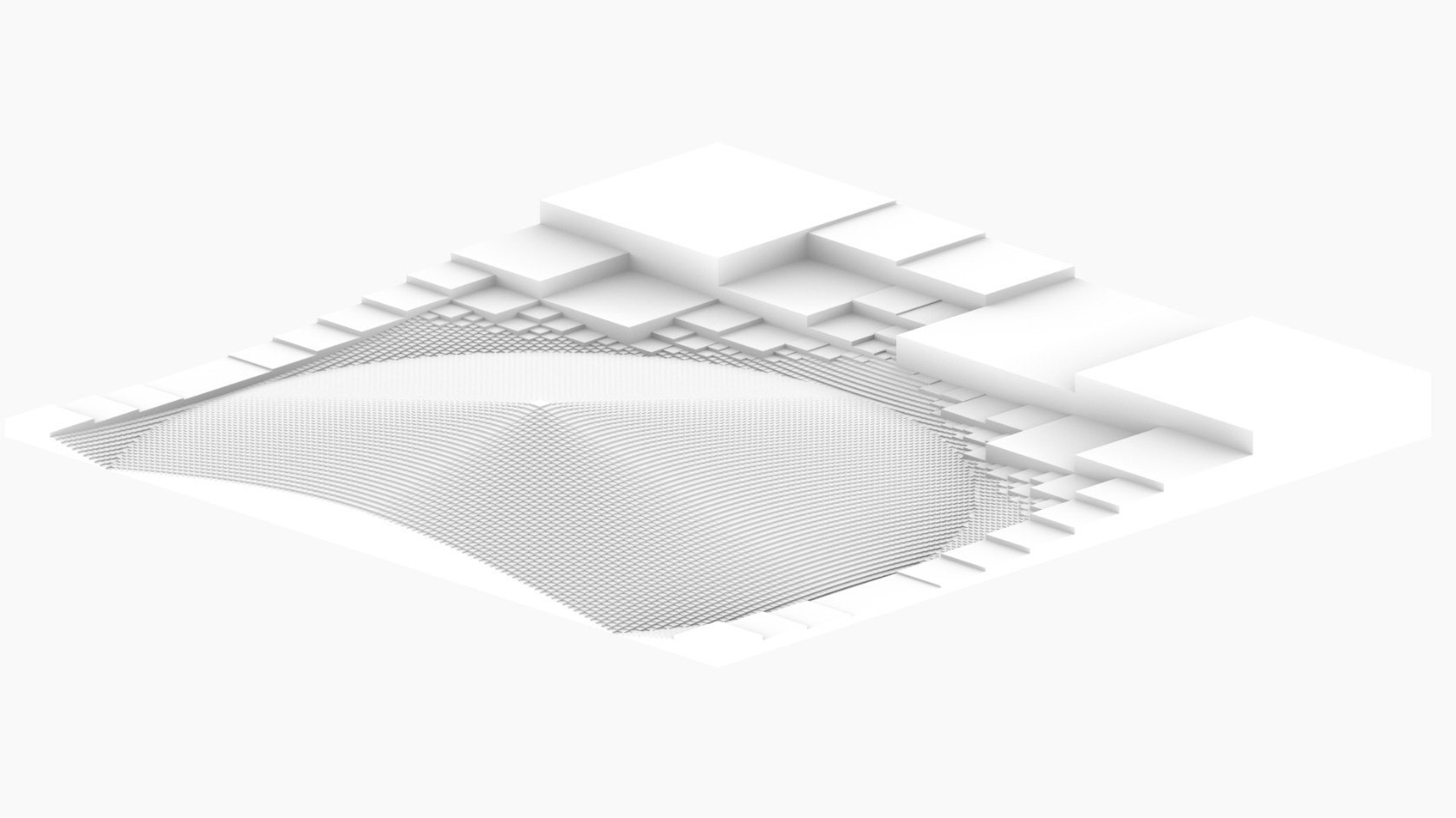
(Later on I built a cloud-based tool to create better simulations, use #Sunflow with custom extensions to pre-render daily super high-resolution maps, slice results into thousands of map tiles/zoom levels and then use Google Maps API with a custom map layer to create the UI. Sadly the entire project was cancelled just before launch...
#Vintage #UI #Prototype #Mapping #Isometric #AmbientOcclusion #Renderer