Hi #ESA (European Space Agency)
Have you considered sponsoring #GDAL ?
https://gdal.org/en/latest/sponsors/index.html
#NASA is already there 😉
If the standard sponsorship program does not fit your needs, just contact us.
🌍PhD @UoNgradschool (EO, GIS, Oceans)🛰 | EO&Modern Slavery RF @RightsBeacon ⚖️| FOSS @OSGeo/@geospatialorg| Committee @GRSG_GeolSoc | Youth4Oceans Advocate🌊
Hi #ESA (European Space Agency)
Have you considered sponsoring #GDAL ?
https://gdal.org/en/latest/sponsors/index.html
#NASA is already there 😉
If the standard sponsorship program does not fit your needs, just contact us.
The one read you need this week 👇. @arjenvrielink on point.
---
RT @arjenvrielink
I wrote a short piece on how the Earth Observation sector is struggling to get ahead.
Wonderful things are happening but we as a sector seem to have a hard time turning our heads away from the satellite towards the market.
Enjoy the read:
https://medium.com/@vrielink/propagating-the-data-graveyard-2c0059d7fdc0
https://twitter.com/arjenvrielink/status/1642810357906382848
Abstracts are due tomorrow, #UK people 😊
#EOconference #EarthObservation
#remotesensing
---
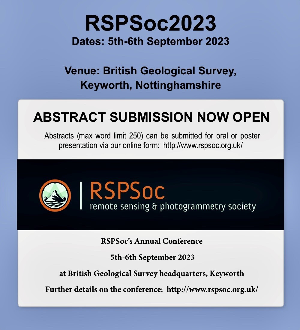
RT @RSPSoc
It's the last week for abstract submission to RSPSoc's 2023 Conference: http://rspsoc.org.uk/index.php/rspsoc-events/rspsoc2023.html
Log on and submit via the RSPSoc website today!!
#RSPSoc #EO #Photogrammetry #RemoteSensing
https://twitter.com/RSPSoc/status/1641003184582717440
RT @NASAEarth
A whole new view 🤩 🌊
First taste from the SWOT mission shows Earth’s water in higher definition than ever before. The spatial resolution of SWOT ocean measurements is 10 times greater than sea surface height data gathered over the same area by seven other satellites combined.
RT @HayleyEversKing
Great advanced course for #OceanColour users coming up! And packed with #OpenSource #Python tools too! See you there! #EOtraining https://twitter.com/eumetsat/status/1639195159421243396
RT @AJKowaltowski
Email I sent in response to @NatureComms´s request for me to act as a reviewer today (part 1 of 2).
#OpenAccess isn´t open if those of us in developing countries are economically excluded from publishing equitably.
RT @m_z_magic
30 years in the making including 18 months of collating, clean up, and writing.
#GLORIA: 7572 hyperspectral reflectance spectra from inland and coastal waters from around the world
Out now #OpenAccess in Scientific Data: https://www.nature.com/articles/s41597-023-01973-y
🧵 1/n
RT @rightsbeacon
Is your #CounterTrafficking organisation seeking Monitoring & Evaluation support?
We're relaunching a new toolkit with indicators & resources developed by the #CTIP community - https://winrock.indikit.net/
By @rightsbeacon @WinrockIntl
@USAIDAsia #EndTrafficking #MEL #CSO
2023 resolution for the next decade >>> I will aim to reach Cox & Munk, [1954] level of 🤯 relevance of my work.
RT @NatachaBourg
Throwback from past month's voyage from Maputo to Cape Town: collecting data and meeting amazing ocean people while sailing through the Agulhas current, an eddy dipole and fronts aboard the @statsraad!!!! What a great experience. Many thanks to @ESA_EO #OTC23 :)
Calling all students in #remotesensing/#earthobservation, regardless of their study: this is a time to put your abstracts in for the @RSPSoc Early Career and Student conference #Wavelength2023.
Details below 👇
---
RT @rspsoc_wlength
A reminder that abstract submission closes at the end of the day on Monday so get your abstracts in! https://twitter.com/rspsoc_wlength/status/1613872543320113154
https://twitter.com/rspsoc_wlength/status/1619019828077137920
RT @rspsoc_wlength
A reminder that abstract submission closes at the end of the day on Monday so get your abstracts in! https://twitter.com/rspsoc_wlength/status/1613872543320113154
RT @CopernicusEU
Yesterday, 20 January, #Copernicus #Sentinel3 🇪🇺🛰️ captured a new and rare image of the British Isles
⬇️#Scotland 🏴, Wales 🏴 and North Ireland covered with snow and barely a cloud in sight for most of our friends and followers in/from the UK 🇬🇧
RT @tveitdal
A number of Indigenous communities in the Amazon say that “carbon pirates” have become a threat to their way of life as western companies seek to secure deals in their territories for offsetting projects. https://www.inkl.com/a/dbLMRWibPxw
RT @curious_founder
For the last 9 months, The Guardian analyzed projects from the biggest carbon offset provider in the world.
They found "94% of the credits had no benefit to the climate."
Some of the biggest corporations in the world are using these offsets to claim they are "carbon neutral."
RT @doorsblacksea
📣 For everyone working in #marine and #freshwater #CitizenEngagement, @PREP4BLUE will launch a series of free training, resources, funding, and networking opportunities in 2023/4.
Please share and fill out the survey below to help shape this work:
RT @jkwillenbring
As you may have seen in @PictureaSciFilm Nancy Hopkins at MIT, in 1996, noted that gender inequities in space led to unfair ability to do science. Today, in 2023, @Scripps_Ocean published a report on gender inequities in space allocation. https://diversity.ucsd.edu/_files/reports/accountability/2023-01-17-SIO-space-allocation-report.pdf
I guess this was inevitable. #sentinel1 forever with me now. 🌊🛰️
RT @robmarkcole
If you would like to contribute to the satellite-image-deep-learning course I am currently seeking suggestions for chapter topics (and contributors for them) 👇
https://github.com/satellite-image-deep-learning/course/discussions/2
This awesome #OTC23 family sets sail on this beautiful ship @statsraad with the https://oneoceanexpedition.com. We're here to learn, connect, do science, sail, have fun and raise awareness on our changing oceans on our way to Cape Town from Maputo. HOY!
Photo credit: @craigdonlon