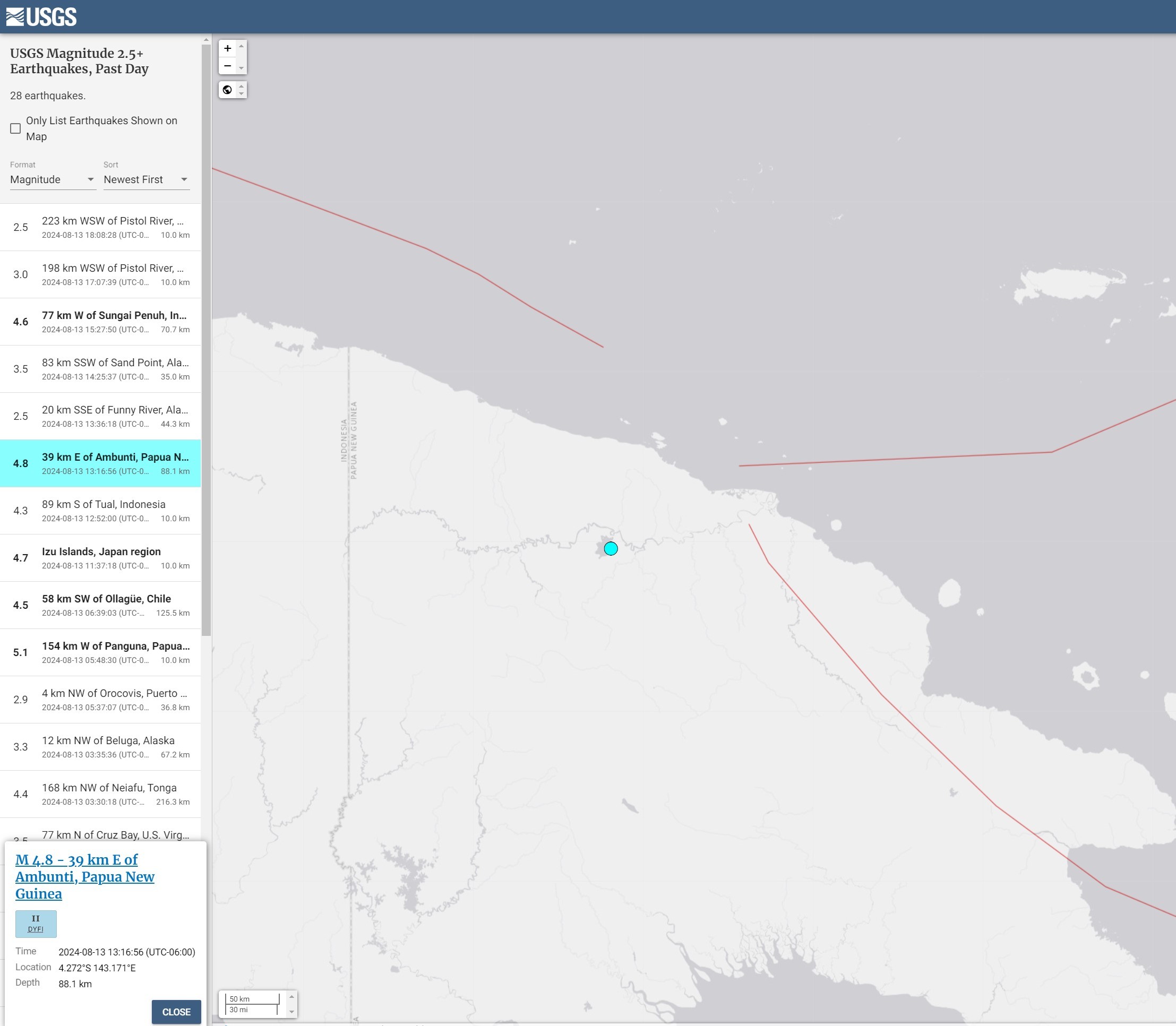
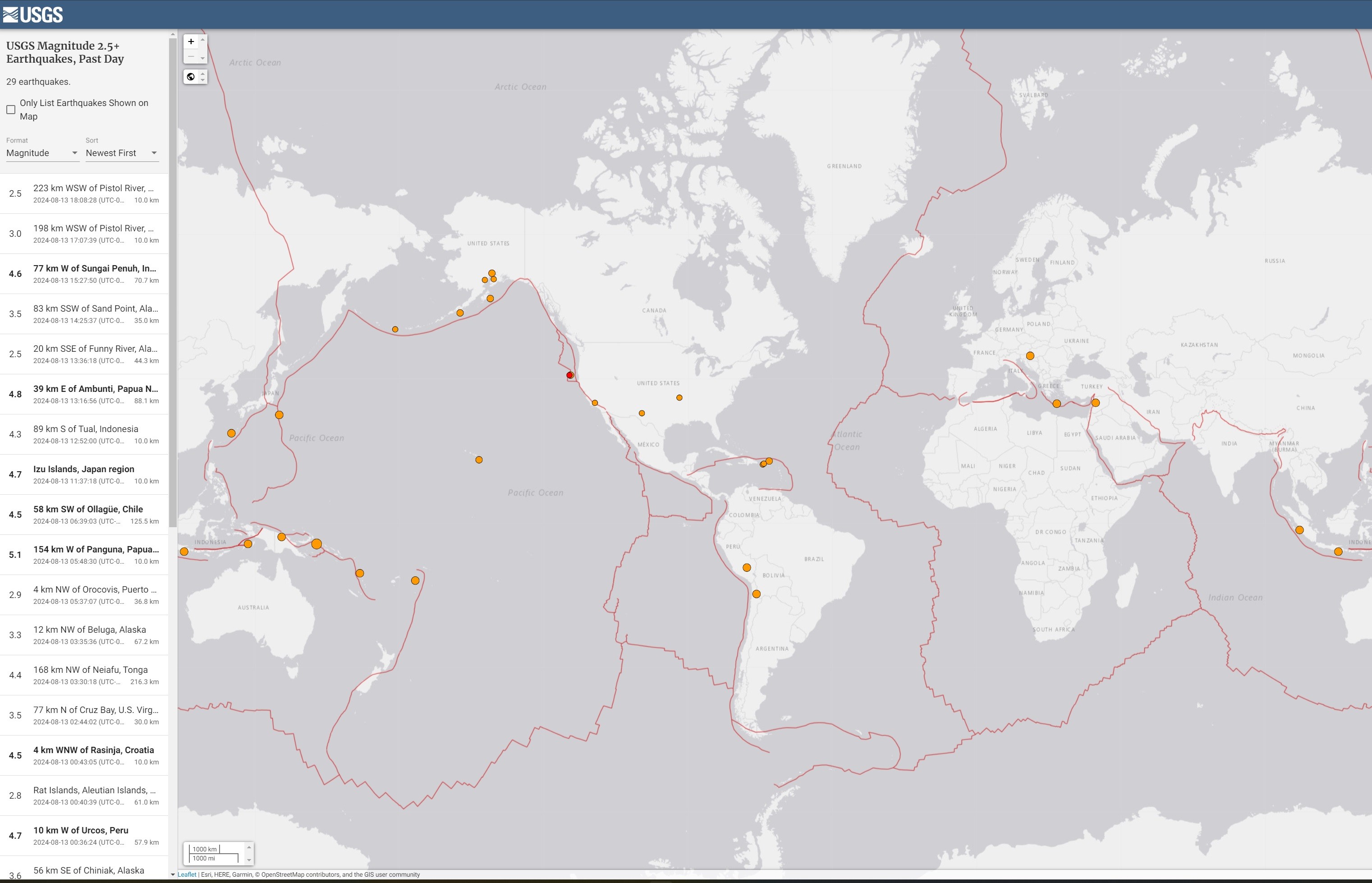
Latest Earthquakes Interactive [Global] Map – USGS
--
https://earthquake.usgs.gov/earthquakes/map/ <-- shared global map
--
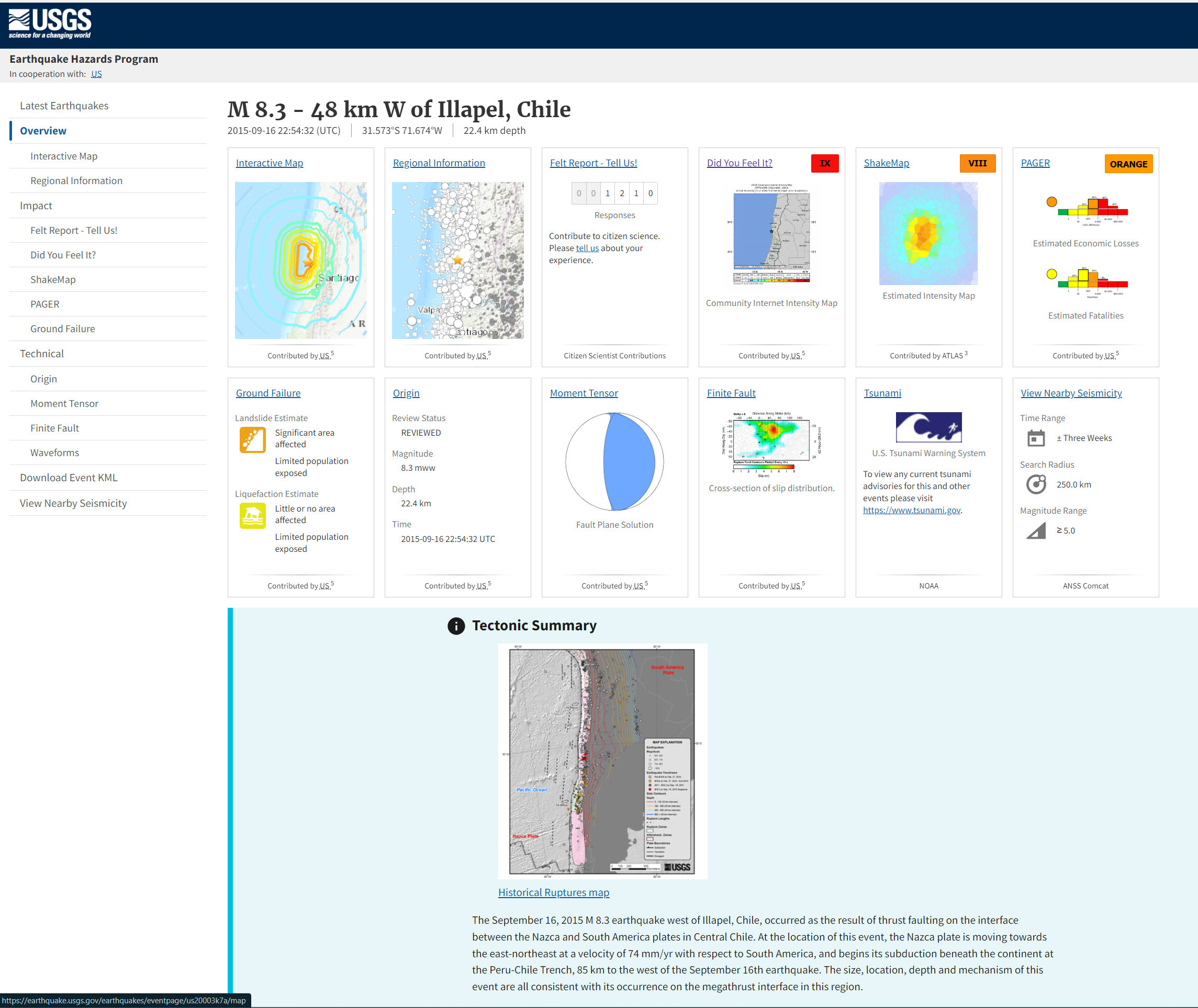
https://www.usgs.gov/programs/earthquake-hazards <-- USGS earthquake hazards home page
--
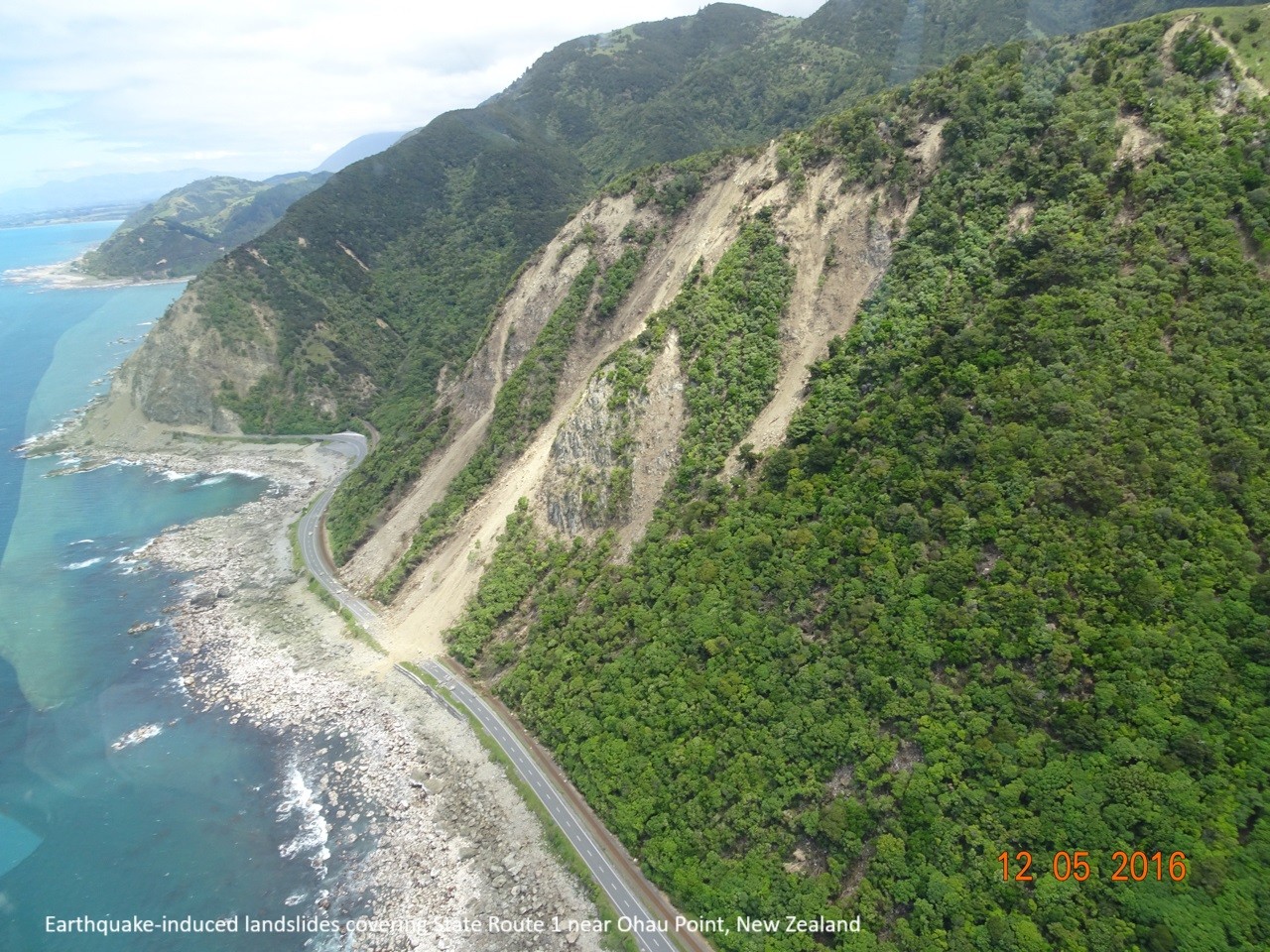
“The USGS monitors and reports on earthquakes, assesses earthquake impacts and hazards, and conducts targeted research on the causes and effects of earthquakes. [They] undertake these activities as part of the larger National Earthquake Hazards Reduction Program (NEHRP)…”
The interactive map shows “Latest earthquakes map and list (past 24 hours, M2.5+) from the ANSS (Advanced National Seismic System)…”
#GIS #spatial #mapping #earthquakes #webmap #onlinemap #mapportal #earthquake #earthquakehazard #risk #hazard #catalogue #impacts #cause #effect #geology #engineeringgeology #global #USGS #NEHRP #ANSS #seismicity #mitigation
@USGS
#ANSS
Client Info
Server: https://mastodon.social
Version: 2025.04
Repository: https://github.com/cyevgeniy/lmst