#CrimeMapping

2024-11-04

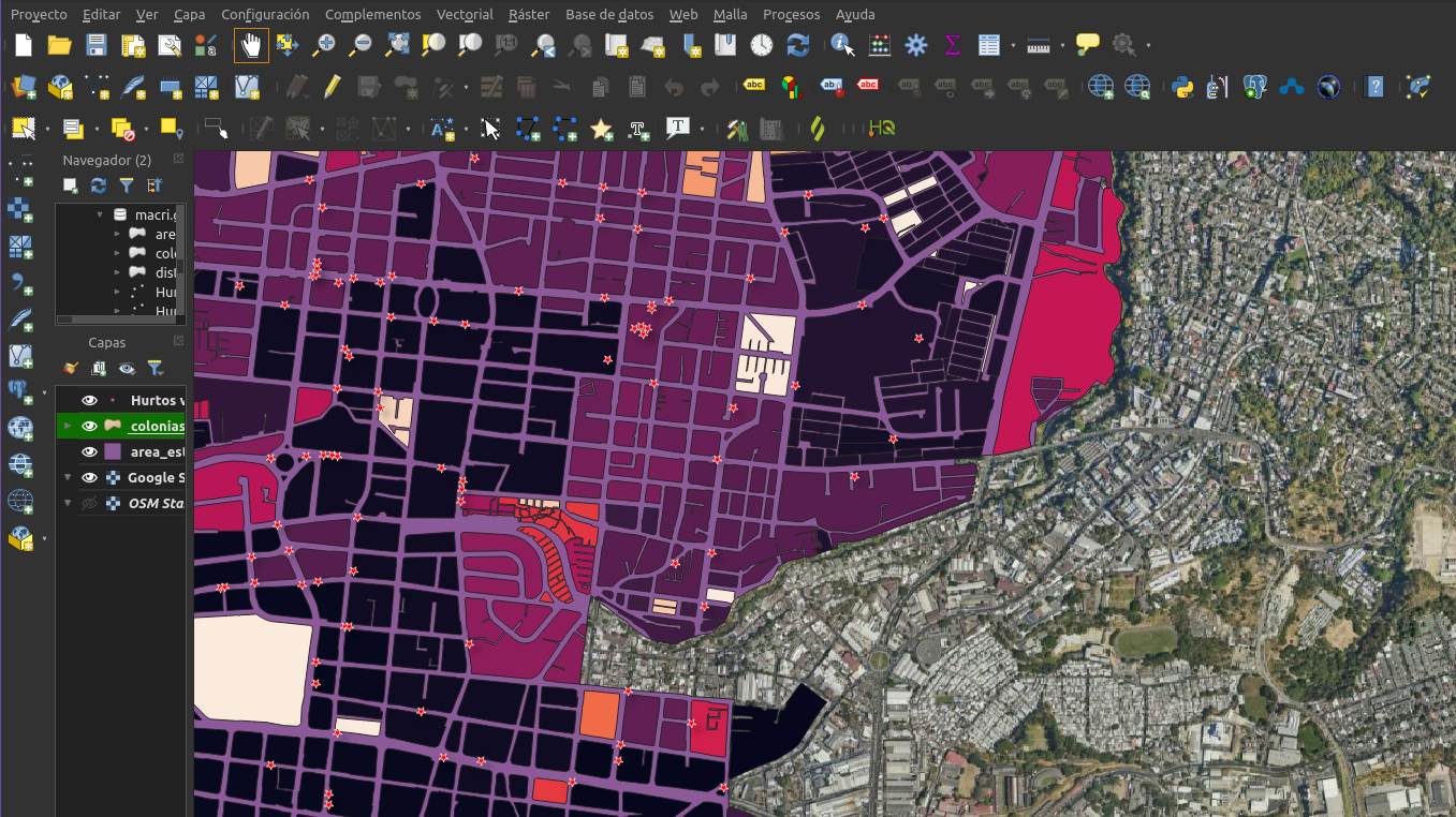
Today we start the subject: "Crime mapping," which is the last subject of the master's degree in Criminology at UCA. For analysis and visualizations free and open source software will be used: #QGIS and #Geoda.

#CrimeMapping #MapeoDelCrimen #Criminología #Criminology #UCA

QGIS user interface that shows a map with spatially distributed robberies in one part of the capital of San Salvador. The robberies are shown with red star simbology.
💧🌏 Greg CocksGregCocks@techhub.social
2024-03-28

Using LiDAR To Find Unmarked Graves Of Murder Victims
--
phys.org/news/2018-08-lidar-un <-- shared technical article
--
dx.doi.org/10.1016/j.forsciint <-- shared paper
--
[I am thinking of the 100s if not 1,000s of years of burials in English churchyards showing subsidence]
#GIS #spatial #mapping #remotesensing #LiDAR #murder #graves #locating #bodies #unmarkedgraves #police #lawenforcement #crime #genocide #investigation #homicide #crimemapping #Forensics #ForensicScience #terrain #corpses #remotelocations #woodland

schematic - looking for graves with remote sensing, from Discovery Magazinemaps / annotated remote sensing images - trenches used as mass graves by the Germans in 'Death Valley', Polandaerial photo - remote area next to a freeway
Pat Healey - The Laker NewsreprtrPatHealey@halifaxsocial.ca
2023-01-09

Police responded to a report of an alleged assault near Confederation Avenue in #FallRiverNS on Jan. 4. No further details. (From HRM #CrimeMapping) #Halifax
arcgis.com/apps/webappviewer/i

Client Info

Server: https://mastodon.social
Version: 2025.04
Repository: https://github.com/cyevgeniy/lmst