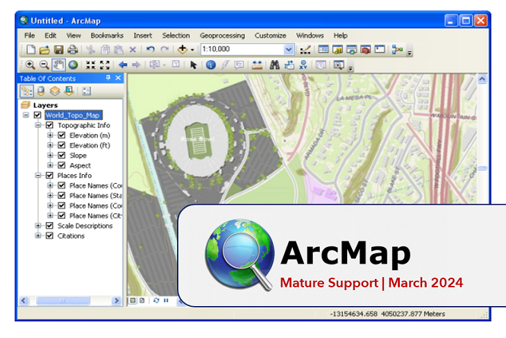
PSA: #ArcMap Enters Mature Support in March 2024 http://tinyurl.com/263raw3e
#ArcGISDesktop #spatial #analysis #GIO #IT #GIS #esri #arcgis #mapping #GISchat #geospatial #TheScienceOfWhere #mapstodon
PSA: #ArcMap Enters Mature Support in March 2024 http://tinyurl.com/263raw3e
#ArcGISDesktop #spatial #analysis #GIO #IT #GIS #esri #arcgis #mapping #GISchat #geospatial #TheScienceOfWhere #mapstodon
⌚ One month left, one user to go. #GIS #ArcMap #ArcGISPro
ArcMap: 1999 to 2024, my thoughts on the end of ArcMap, the first GIS I ever used! https://www.geospatialtrainingsolutions.co.uk/arcmap-1999-to-2024/ #gischat #arcmap #esri
☠ GIS/IT managers between now and March 1st. #ArcGISPro #ArcMap
So today i had a strange revelation which has the potential for a PSA in #gischat : while our #mapcache powered #wmts for #historicalmap in Hessen has worked from the start in #qgis i have received reports from #arcmap users (v10) that they could not use the service. It was showing the notorious red exclamation mark. Not being #opensource there was no way to determine the reason it failed. Turns out it was a colon in the scale (1:25.000) in the metadata title Tag. IMHO a tale to #switch2qgis
ArcMap 10.x --> ArcGIS Pro
--
H/T @Matt Malone (https://twitter.com/MatthewHMalone)
With ArcMap 10.x retiring…
From someone who has been using Pro for a couple of years now, when I have (word used specifically) to open ArcGIS 10.x for legacy apps, I shiver in UNanticipation...
#GIS #spatial #mapping #arcgis #arcmap #retirement #legacy #esri #humour #takeup #gischat #mappymeme
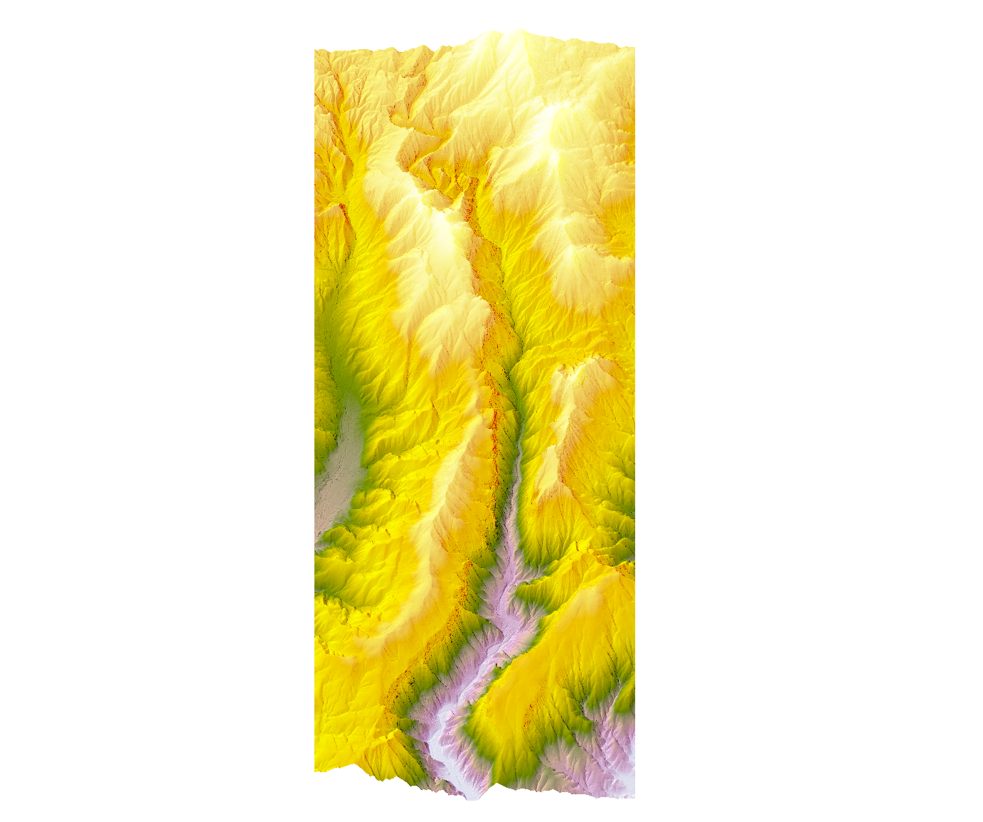
Made a John Nelson style map of Linville Gorge. Hopefully I can go camping there again soon. I need time in the forest. #gis #arcmap #esri #maps #linvillegorge
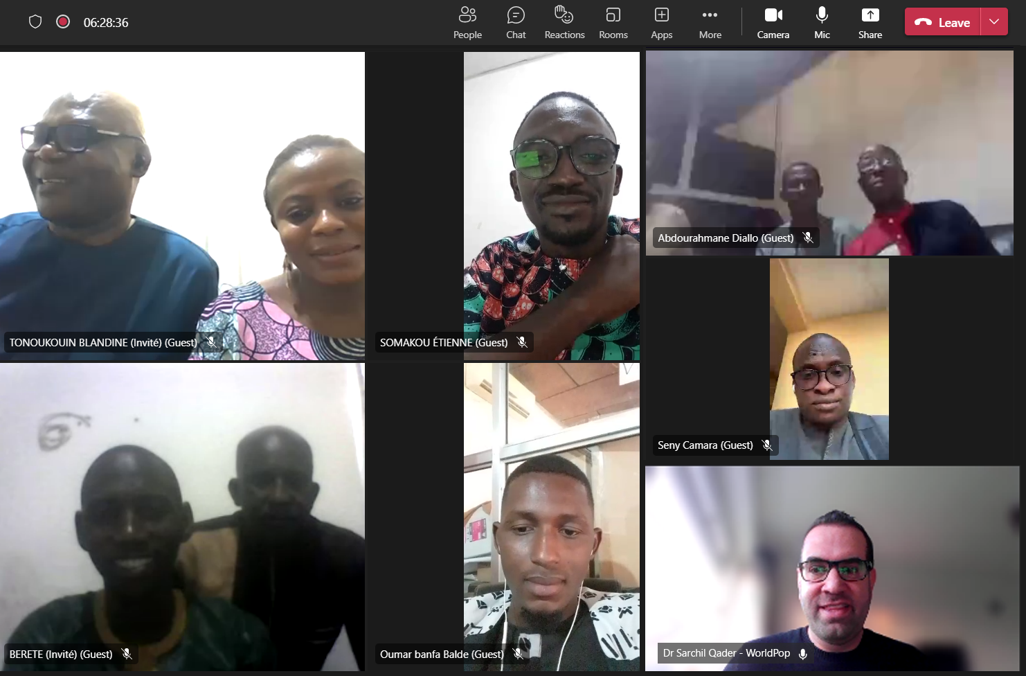
News on our recent virtual #preEA #workshop for cartographers employed by national #statistics offices in the Republic of #Guinea and #Benin - run by senior research fellow Dr Sarchil Qader #census #geospatial #ArcMap #cartography
#UNFPA_WCARO #unfpa_benin #insbenin #GRID3 #UNFPA
https://www.worldpop.org/2022/12/20/a-virtual-preea-workshop-for-the-republic-of-guinea-and-benin/
There is a #Mastodon instance—mapstodon.space—for #map and #geospatial professionals and enthusiasts!
#cartography #GIS #ESRI #ArcMap #QGIS