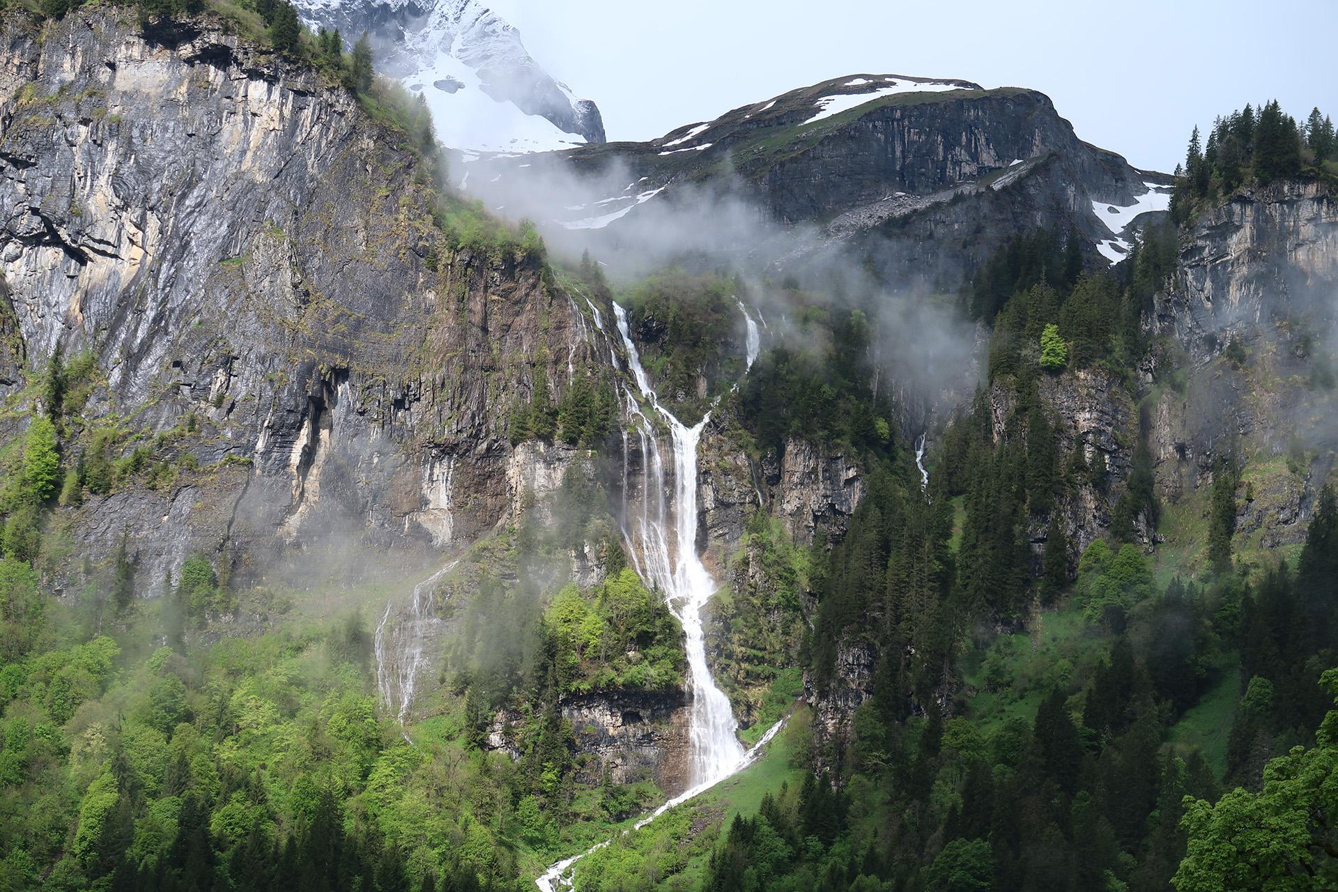
The Y-shaped Zillibachfall near Braunwald, Glarus (CH). Photo taken on 29-5-2025. #waterfallwednesday #waterfall #switzerland #glarus #mountains #geology #photography
Anton van Tetering
Fysisch geograaf en natuurliefhebber.
Zelfstandig cartograaf onder de naam Studio Haverstraat #GIS, #illustrator #photoshop #maps #cartography #mountains.
Ik hou van: bergen, wandelen, fietsen, lezen, schaken en muziek.
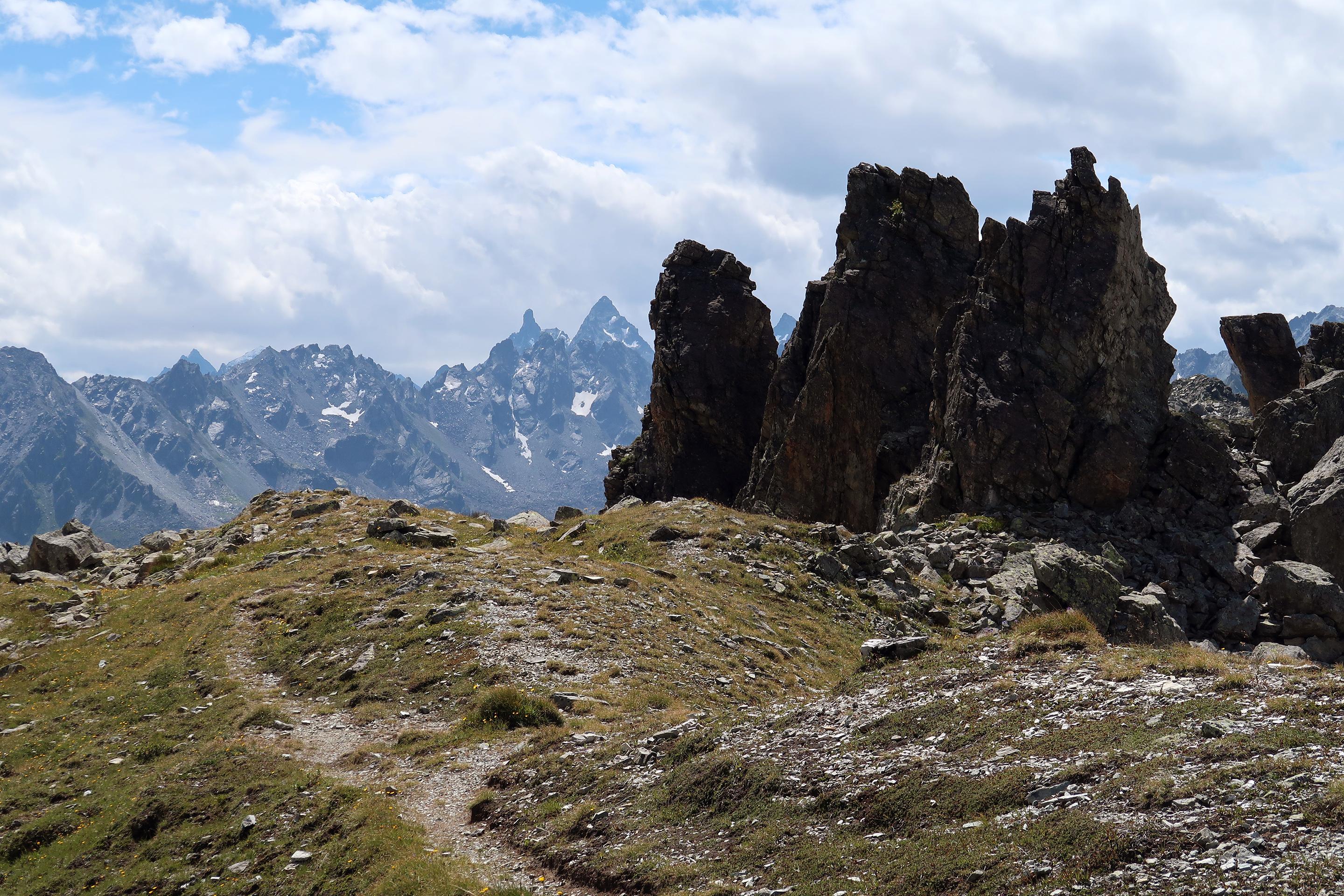
On the Heimbüheljoch (2480 m) in the Silvretta Alps. In the background Gross Litzner (3109 m) and Grosses Seehorn (3122 m). Photo taken in august 2021.
#mountains #MountainMonday #austria
Anton van Tetering boosted:
When you look at the different versions of the AHN (DEM of the Netherlands), you can see interesting movements (on some locations). This map shows the movement of new dunes on the North Sea beach of Schiermonnikoog.
#maps #gis #cartography #geology #geography #Netherlands #geomorphology
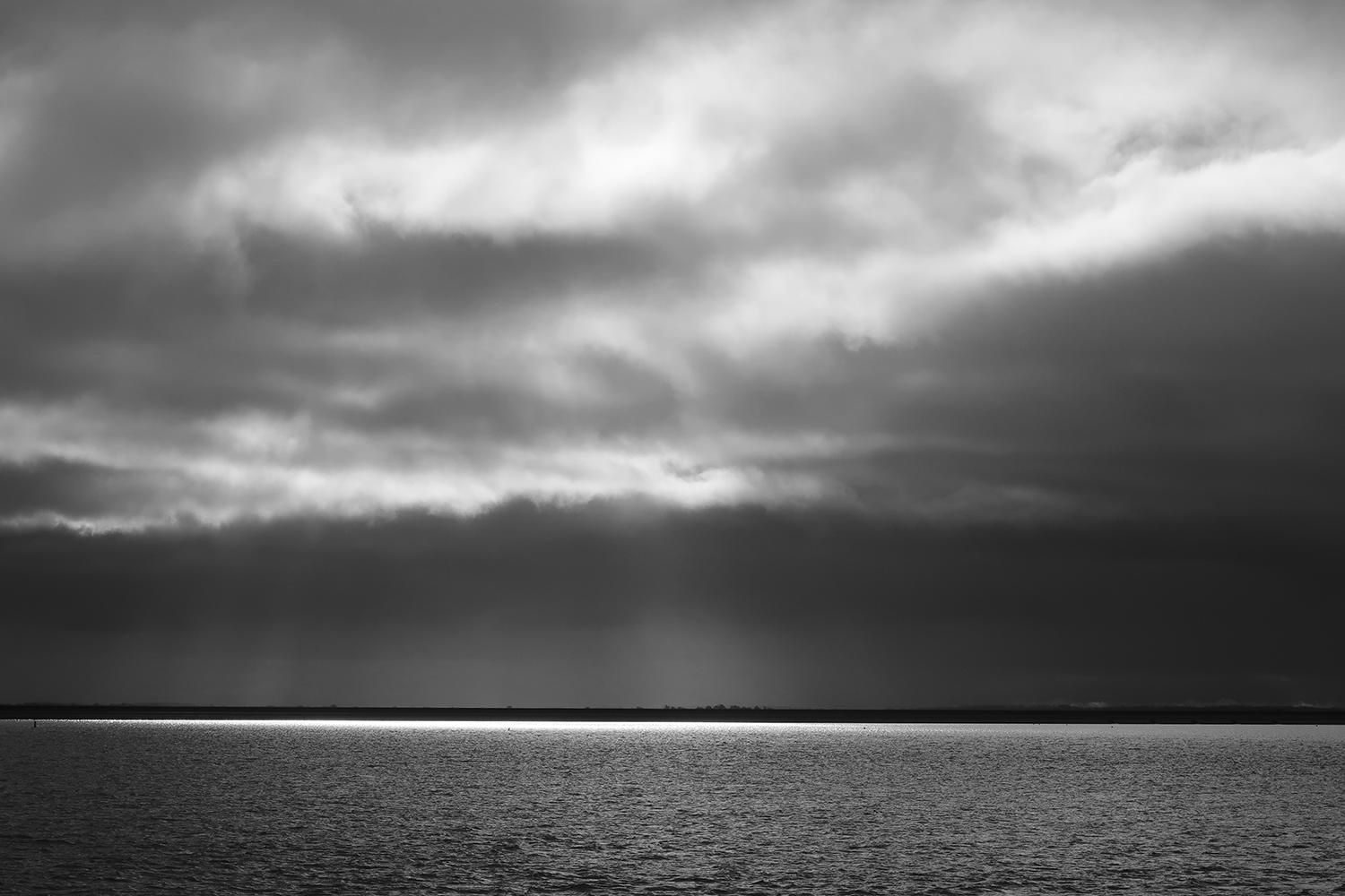
De Waddenzee bij Lauwersoog gisteren. #wadden #waddensea #netherlands #friesland #schiermonnikoog
Anton van Tetering boosted:
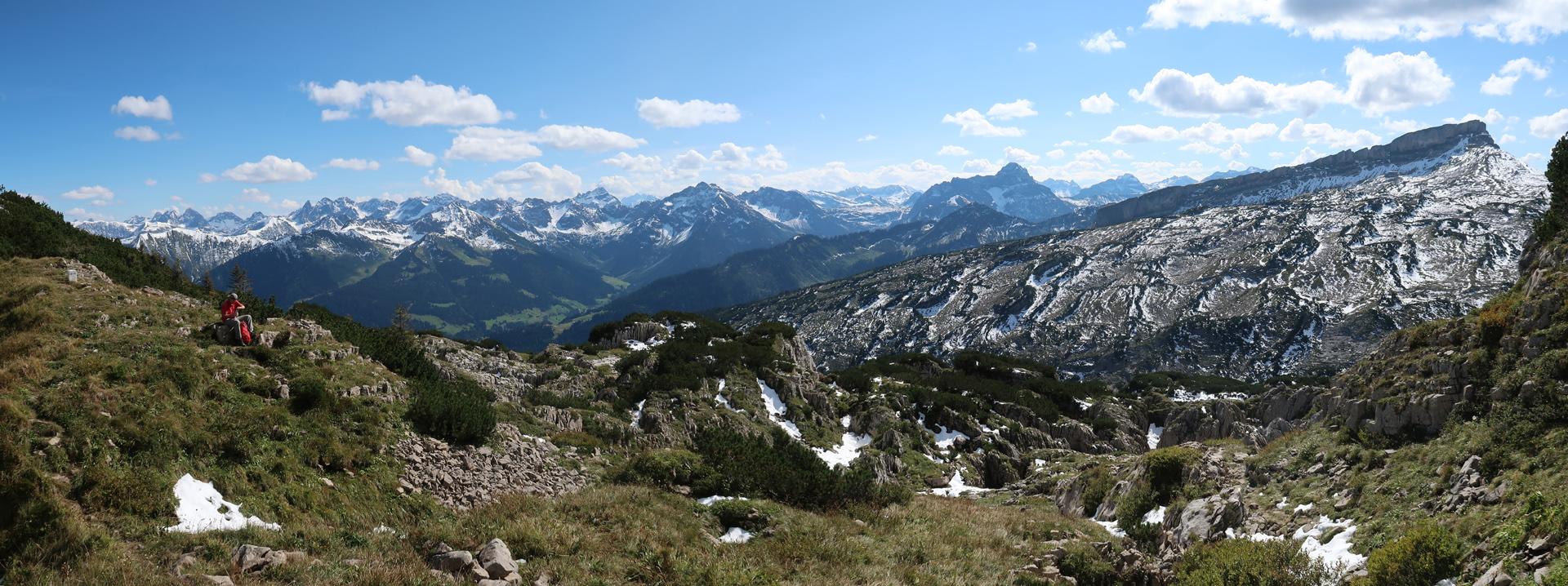
View of the Allgäuer Alps seen from the Gottesackerscharte on the border between Austria and Germany. On the right side is the Hoher Ifen with the karst plateau of the Gottesacker in front of it. #mountainmonday #mountains #kleinwalsertal #germany #austria #geology
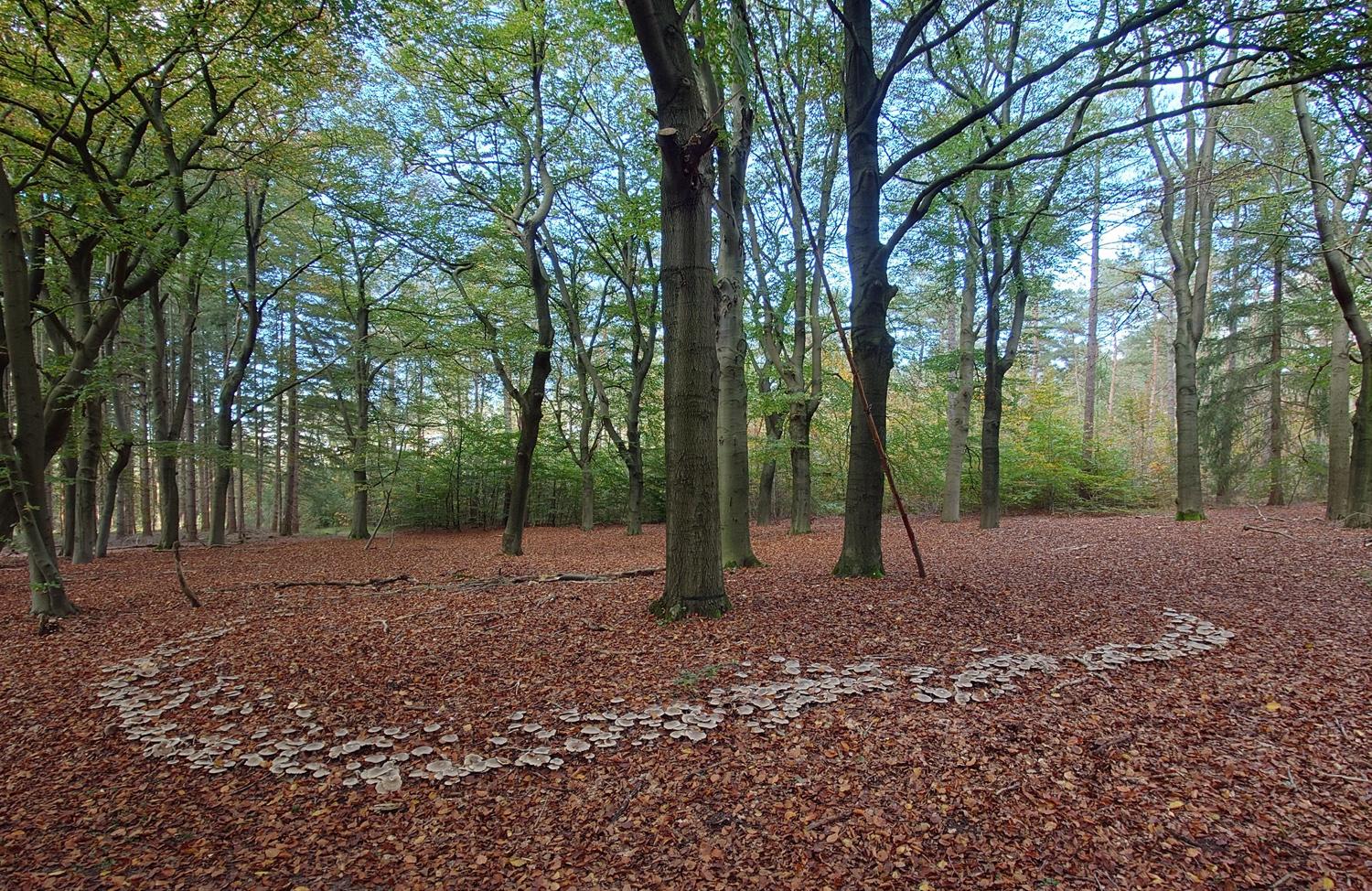
Heksenkring van nevelzwammen in de buurt van Austerlitz. #paddenstoel #mushrooms #fairyring
Anton van Tetering boosted:
The Gottesacker is a beautiful and impressive karst plateau on the eastern edge of the Helvetic Zone (Schrattenkalk) on the border of Germany and Austria. It has an altitude of 1600-2100 m.
In the background the Hoher Ifen.
#geology #mountains #austria #kleinwalsertal #germany #karst

Anton van Tetering boosted:
Schwarzwasserbach in Kleinwalsertal, Austria. #waterfall #waterfallwednesday #Kleinwalsertal #Vorarlberg #Austria
Anton van Tetering boosted:
Hallo luitjes, dat een Telegraaf-journalist oproept om ons te bewapenen tegen de bruintjes om de “natuurlijke orde” te herstellen, is echt niet normaal, hoor!
https://www.frontaalnaakt.nl/archives/wierd-duk-gaat-full-metal-nazi.html
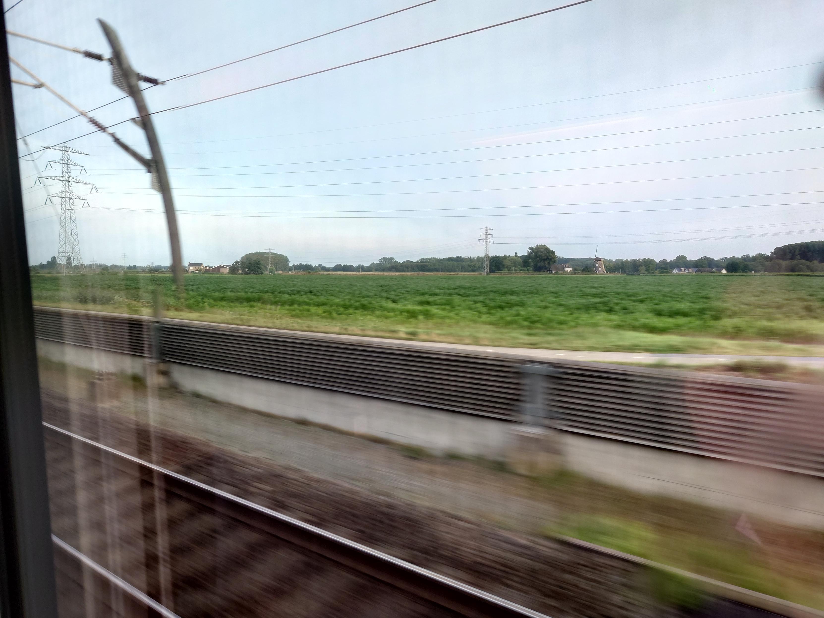
Vanwege werkzaamheden tussen Utrecht en Arnhem rijdt de ICE vanochtend via de Betuwelijn. Zo kom je nog eens ergens. #treinleven #treinen #train
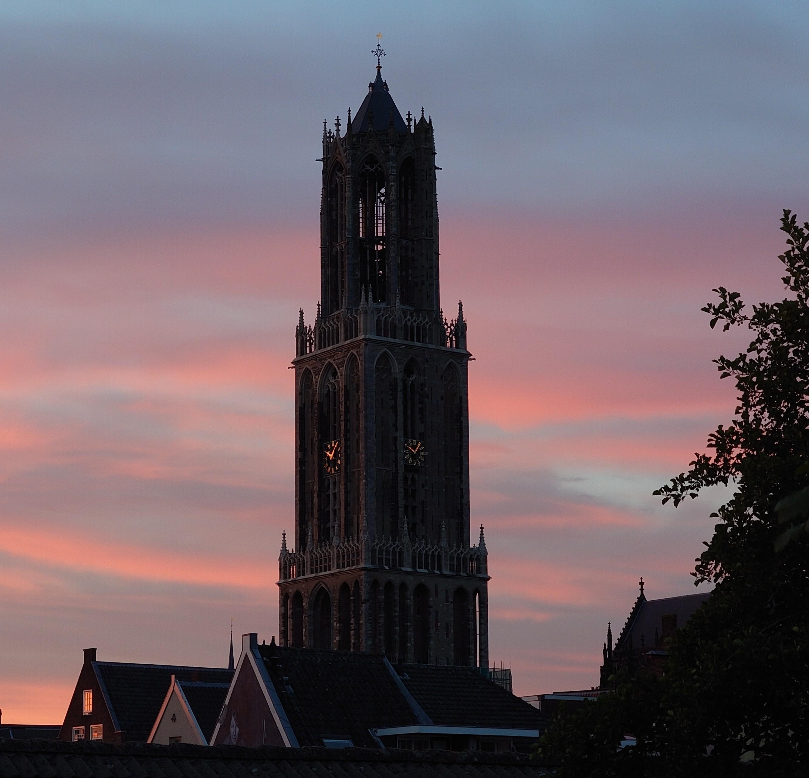
@hnapel Bijna. De onderste 20 meter staat nog in de steigers (rechts op de foto zie nog net het bovenste randje daarvan).
Anton van Tetering boosted:
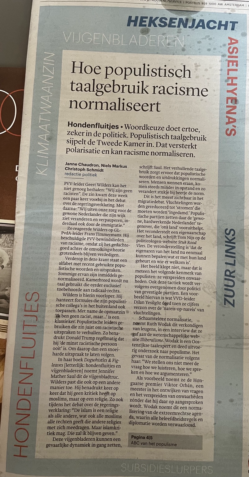
@Trouw neemt geen blad voor de mond. Bravo. Op de voorpagina: duidelijke taal over populistisch taalgebruik
Anton van Tetering boosted:
In July 1990 I stood at the Mer de Glace in the Mont Blanc Massif (French Alps) and took a photo of this imposing glacier. Last September I was there again and took another photo from approximately the same spot. The difference was enormous. To better compare the photos, I overlaid them with a slider: http://www.studio-haverstraat.nl/merdeglace.html
#geology #ClimateChange #ClimateCrisis #climate #France #alps #montblanc

Anton van Tetering boosted:
View from the south to the Vercors plateau, Drôme, France. In the middle ground you can see the curved 'barre tithonique' (solid limestone of Upper Jurassic age). Behind that is the Lower Cretaceous limestone of the Glandasse (2041 m), which forms the edge of the Vercors plateau. #geology #fridayfold #foldfriday #france #alps

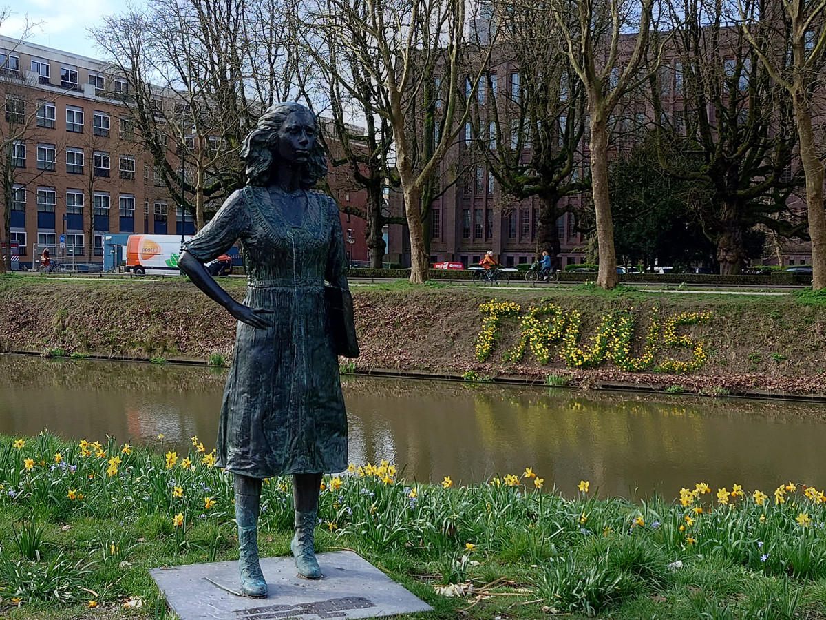
Truus van Lier samen met haar bloemenmonument langs de singel in
#Utrecht
https://nl.wikipedia.org/wiki/Truus_van_Lier
Anton van Tetering boosted:
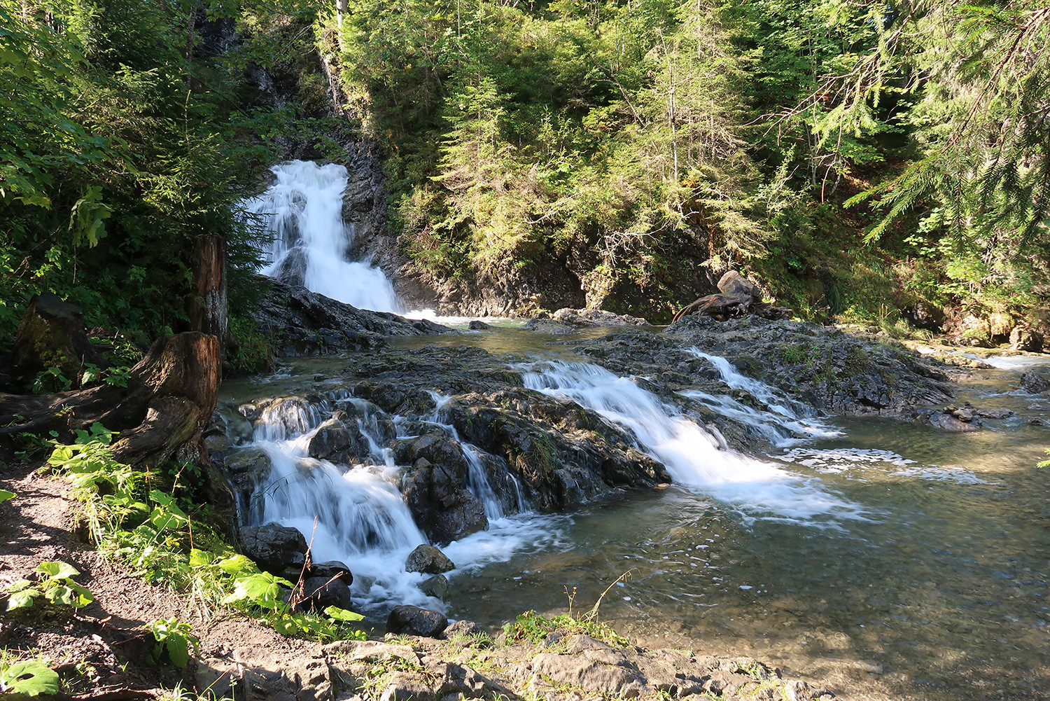
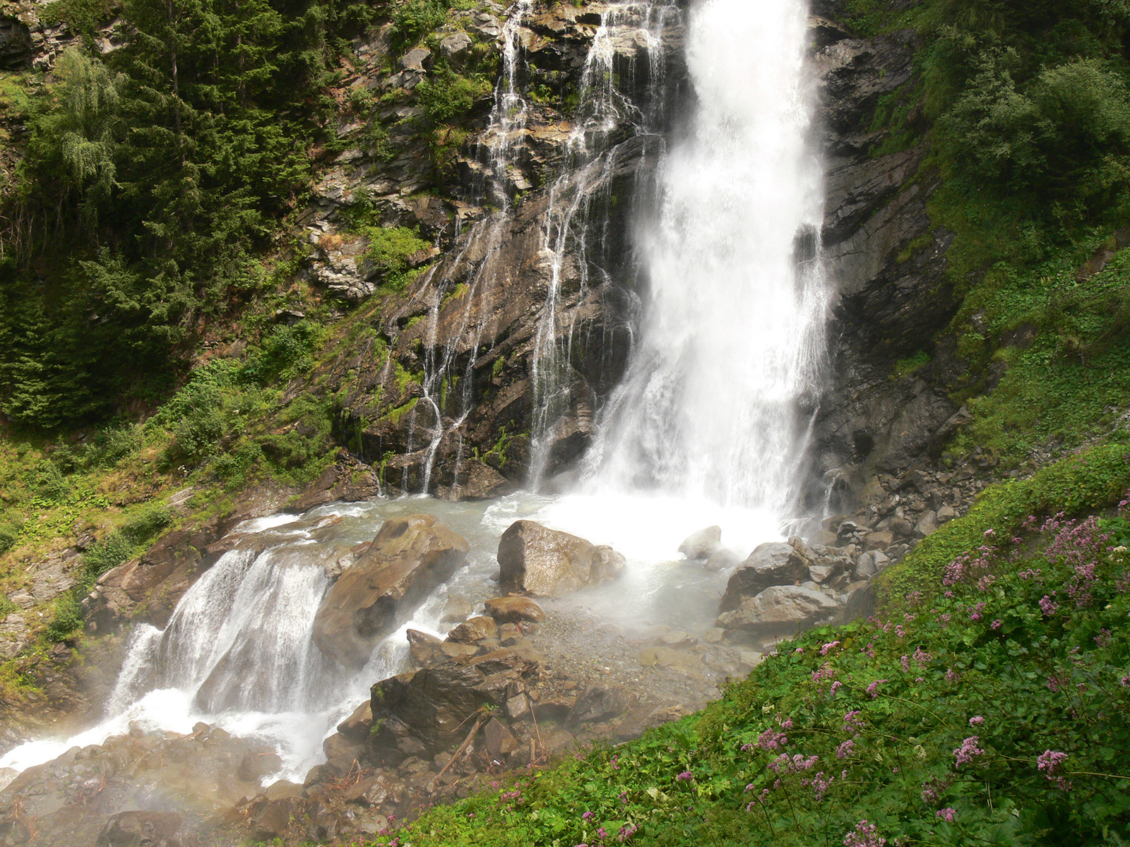
The lowest part of the Stuiben waterfall near Umhausen in Tirol, Austria. This waterfall is the highest in Tirol with a total height of about 150 m. I took this photo in the summer of 2010. #waterfall #waterfallwednesday #geology #geomorphology #austria #tirol #mountains #river
Anton van Tetering boosted:
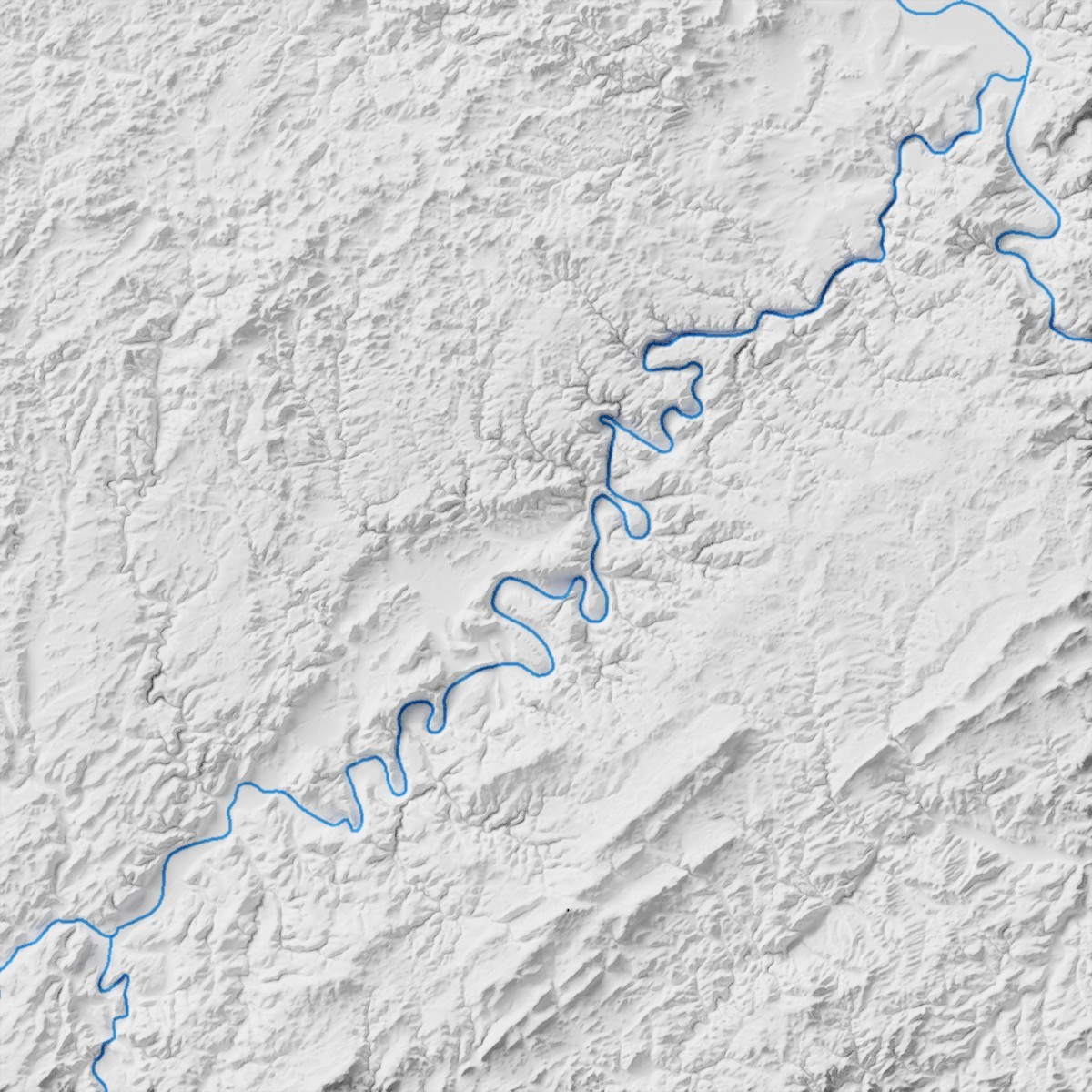
Shaded relief map made in Blender3D of the ashtonishing meandering Moselle in Germany. #MeanderMonday #meander #geology #blender3d #blender #germany
Client Info
Server: https://mastodon.social
Version: 2025.04
Repository: https://github.com/cyevgeniy/lmst