@barefootstache @philip For mapping out the surveillance items specifically, I've been working with DeFlock, which unfortunately only does its work inside of Discord :( The tagging schema is evolving, but has largely coalesced around something like this for Flock devices:
```
camera:mount=pole
camera:type=fixed
direction=150
electricity=solar
man_made=surveillance
manufacturer=Flock Safety
manufacturer:wikidata=Q108485435
surveillance=outdoor
surveillance:type=ALPR
surveillance:zone=traffic
```
The `electricity` key can take either `solar` or `grid` as values. `surveillance:type` key's value is either `ALPR` or `gunshot_detector`, depending on the device. `surveillance:zone` key's value is typically either `traffic` or `parking`, though `entrance` can sometimes be relevant (e.g., ALPRs pointed at the gated entrances to apartment complexes).
Additional tags that are sometimes included are the `operator` and `operator:wikidata` tags. Typically, if a public info request is successfully made, it'll say who leases the cameras and other devices from Flock, and that becomes the `operator` (typically a police department). Or, if a particular entity is known to use Flock devices, such as Home Depot --- they use them across at least some of their stores' parking lots --- then that would become the operator. Ultimately though, most operators end up sharing their data with others, so who the specific operator is isn't that pertinent IMHO.
I don't think anything has been added to the OSM wiki though. Maybe I should get this info on there, since there, it will outlast any ephemeral chatter in a Discord server.
Actually, there is some guidance for Flock in Richmond, Virginia:
https://wiki.openstreetmap.org/wiki/Richmond,_Virginia/Tags#Flock_Safety
Might introduce a dedicated page to the wiki though, to get/keep everyone on the same page.
As for workflow:
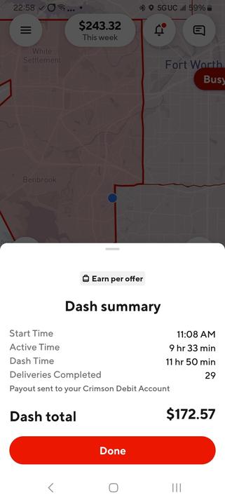
1. Pick an area to survey. I do #GigWork #DoorDash, so I drive all over the place regularly. When I see a Flock device, I note the area down for follow-up survey.
2. Drive around the area, recording path with #OsmAnd (for GPX files).
3. Upon seeing a device, find a safe place to pull over.
4. Use #StreetComplete to add an initial `surveillance` (shot spotters) or `surveillance camera` (ALPRs) thing.
5. Add a note via StreetComplete with more info on the device, including orientation, and a picture if possible.
6. Go home.
7. Pull up iD, and go through my notes, fleshing out the tags on all the surveillance nodes I added early via StreetComplete.


![[UberEats]
2:37 1
P14 Phở Gà
$15.95
Chicken noodle soup with scallions, onions, and cilantro
for a warm, aromatic delight.
Description Generated by Al ©
16 93% (203)
Most popular
#1, Ordered by 30+ others
Chicken Soup/súp gà, Large/lớn
#2,0
Chick
Choice of Size
Choose 1
Small/nhỏ
Required
Add 1 to cart • $15.95](https://files.mastodon.social/cache/media_attachments/files/114/637/899/540/529/203/small/4592b192499eb1ad.png)
![[DoorDash]
Chips
Chips are thin slices or pieces of various materials,
often used in electronics for processing and storage.
Sauce Addition
Optional • Select up to 5
Tomato Sauce
+$1.00](https://files.mastodon.social/cache/media_attachments/files/114/637/899/594/783/602/small/0e5bc35b14d85105.jpeg)


