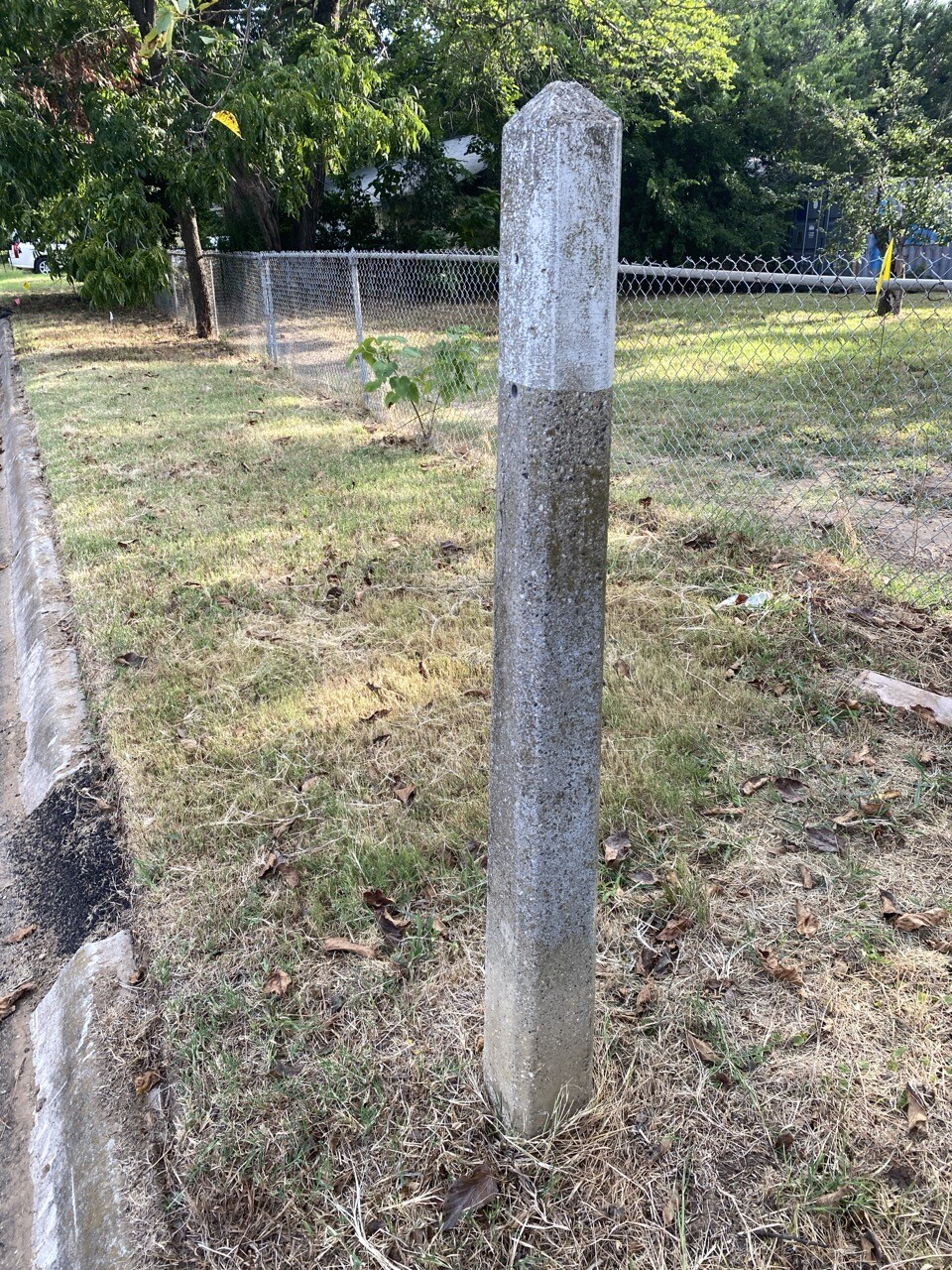
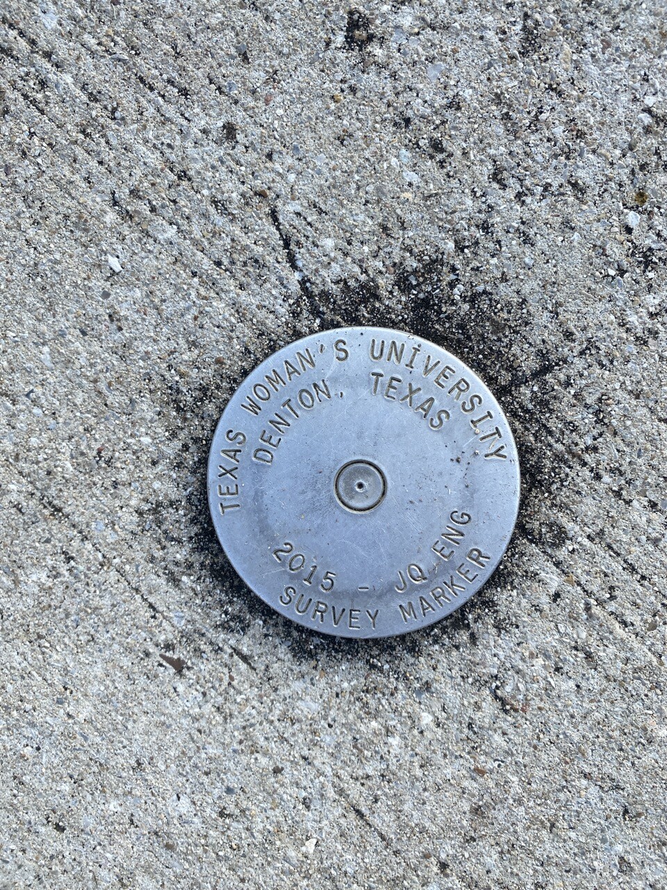
Took a few pics of #surveying markers on my walk this morning. The #TWU is obvious, and the [edit: marker] relatively contemporary. The concrete one is about 4.5’ tall and seen around town, but not labeled. I am guessing this means something to someone, but they are unmarked and sometimes crumbling. This one is losing concrete on the reverse side. #Geodesy #Survey #cadastral #cadastralMapping
#cadastral
Hi fediverse, is anyone aware of #opensource pipelines for #segmentation / #vectorization of #historical #cadastral maps? Ideally a workflow to train #AI / #ML models on specific mapsets, e.g. the new prussian survey after 1870*, the francisceian (mid 19th century) or the bavarian*** to only mention the largest surveys in central Europe. I suspect that people outside of history are working on it, these maps are a true treasure for #environmental and #biodiversity research. Links are in the reply
Did you know that the city of #Vienna has vectorized the 19th century #historical #cadastral #maps for the entire current municipal area and published it as OpenData (CC-BY-SA)?😲 I didn't and only learned just this weekend about it in the context of an invitation to the university of Vienna. So much amazing #hgis data out there to discover. A huge thank you to the Vienna urban archeology as curator of the data 👍 below you see my quick and dirty #qgis rendering
https://www.data.gv.at/katalog/dataset/4030d796-0573-4305-86f2-b34e38a86a1d#resources
Tomorrow at the University of Guanajuato, within the "Engineering Week" event, I will be presenting, as part of the Official QGIS Mexico User Group :qgis:, the #GIS :earth_photo: of the Government of #Guadalajara 🇲🇽 done in the last two years of work (Only the new developments)
Using #FOSS geospatial :osgeo:
#QGIS #Potree #PostGIS #Geoserver #Leaflet #OpenDroneMap #WebODM #WhiteboxTools #Lastools #CloudCompare #GeoSAM
For #LiDAR #webmapping #drones #photogrammetry #cadastral #survey #AI #mobility
Client Info
Server: https://mastodon.social
Version: 2025.04
Repository: https://github.com/cyevgeniy/lmst