This explains a lot of my pain and much more about #shapefiles #shp
http://switchfromshapefile.org/
#shapefiles
@seav Thank you so much for pointing me to the CShapes package! I’ve been looking for shape files of the late Ottoman Empire for years.
#HistoricalGIS #ShapeFiles #OttomanEmpire #DigitalHumanities #rstats
I'm not one to toot my own horn very much, but my https://github.com/lostmapper/gis-dockerized project has been really handy for testing out some tools I've been creating for importing #Shapefiles into #PostGIS and then publishing them as layers in #GeoServer.
Montana's State Historic commission require shapefiles to be submitted for all areas that are classified as historic. #magip #shapefiles
@jbzfn I still see dbase references show up in code. Theres a proprietary file format for geospatial data called #Shapefiles that have been around for decades. They include a sidecar DBF file that has reference headers for dbase. The format is slow to render and limited to a few hundred thousand rows. Columns were restricted to 7 characters. Awful to work with. Every time I see a DBF, I think about George Tate and the early database hustle.
[1] https://www.loc.gov/preservation/digital/formats/fdd/fdd000326.shtml
[2] https://www.nytimes.com/1984/08/14/obituaries/george-tate-is-dead-at-40-computer-software-leader.html
Missed your 25th birthday @shapefiIe (July 1998); that is 175 years in technology years! 🙃 😜 🤔 😁
(and some are worried about Joe Biden!)
--
Nothing personal, but #shapefilesmustdie
https://www.gis-blog.com/geopackage-vs-shapefile/
#GIS #spatial #mapping #shapefiles #geopackage #moderntechnology #technology #mappymeme

I'm on a new project at work to create, store, and programmatically analyze datacenter building plans, eg. Calculating lengths of cable runs. I used to work in #gis, and remember just enough to know that all my approaches are hopelessly naive. Are #shapefiles still a viable option for low-ceremony vendor neutral structured #spatial analysis? (Probably from Python) cc. @sgillies
I looked for a quick lightweight previewer for Windows that can show you #shapefiles rapidly. #Quicklook for Windows allows you to do so by pressing Space with a plugin that is easily installed. It supports so many types that I basically ditched the windows preview tab
https://alternativeto.net/software/quicklook/about/
Repository: https://github.com/QL-Win/QuickLook
ShapeFile Plugin: https://github.com/birderyu/QuickLook.Plugin.ShapefileViewer
Is there anyone out there that knows #ArcGIS really well that would be willing to help me with something next week? I have a few different #maps and #shapefiles I need to overlay for one clean, cohesive figure (insets okay) w/ correct #projections, etc. DM me for more info!
#shapefiles Need .shx & .dbf Because #gis
Did you know, #geopandas can read and write directly to and from zipped #shapefiles, a.k.a #shizzle files (.shz). #gischat
https://geopandas.org/en/stable/docs/user_guide/io.html
🚨 Time to update your #shapefiles, #gischat!!
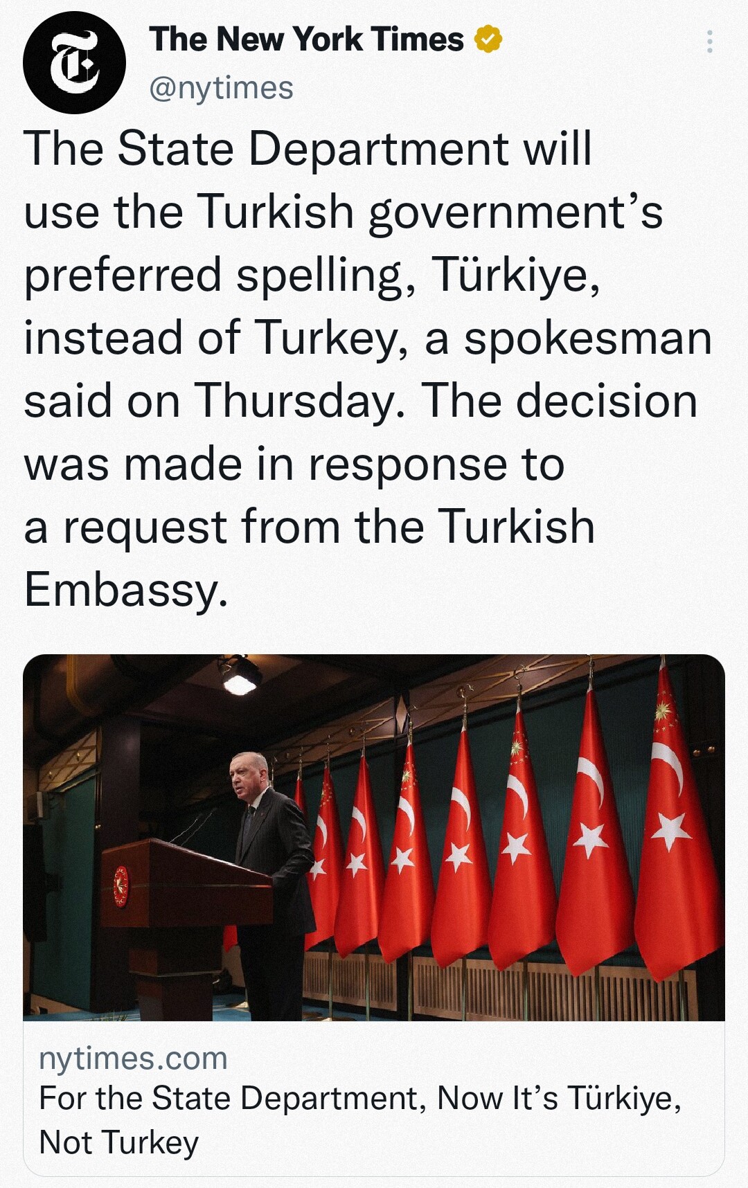
The State Department will use the Turkish government’s preferred spelling, #Türkiye, instead of #Turkey, a spokesman said on Thursday. The decision was made in response to a request from the Turkish Embassy.
https://t.co/wRS2DgCEe7?s=09 #gis #geodata
100 followers 🥰🥰
That's 3 more than sidecar files 🥳 #gischat #shapefiles #gis

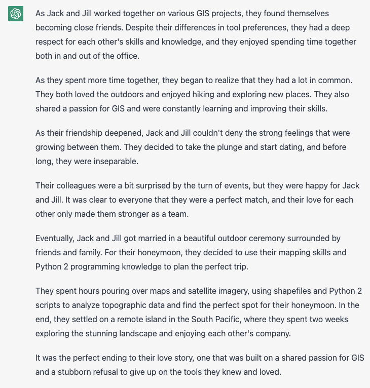
It's a wrap! Just wrote the final installment in the story of Jack and Jill, the GIS pros who find love while sticking to their preferred tools (shapefiles and Python 2). It's a heartwarming tale with a happy ending
#gis #shapefiles #python #python2 #lovestory #happyending #giscommunity #gispros #gischat
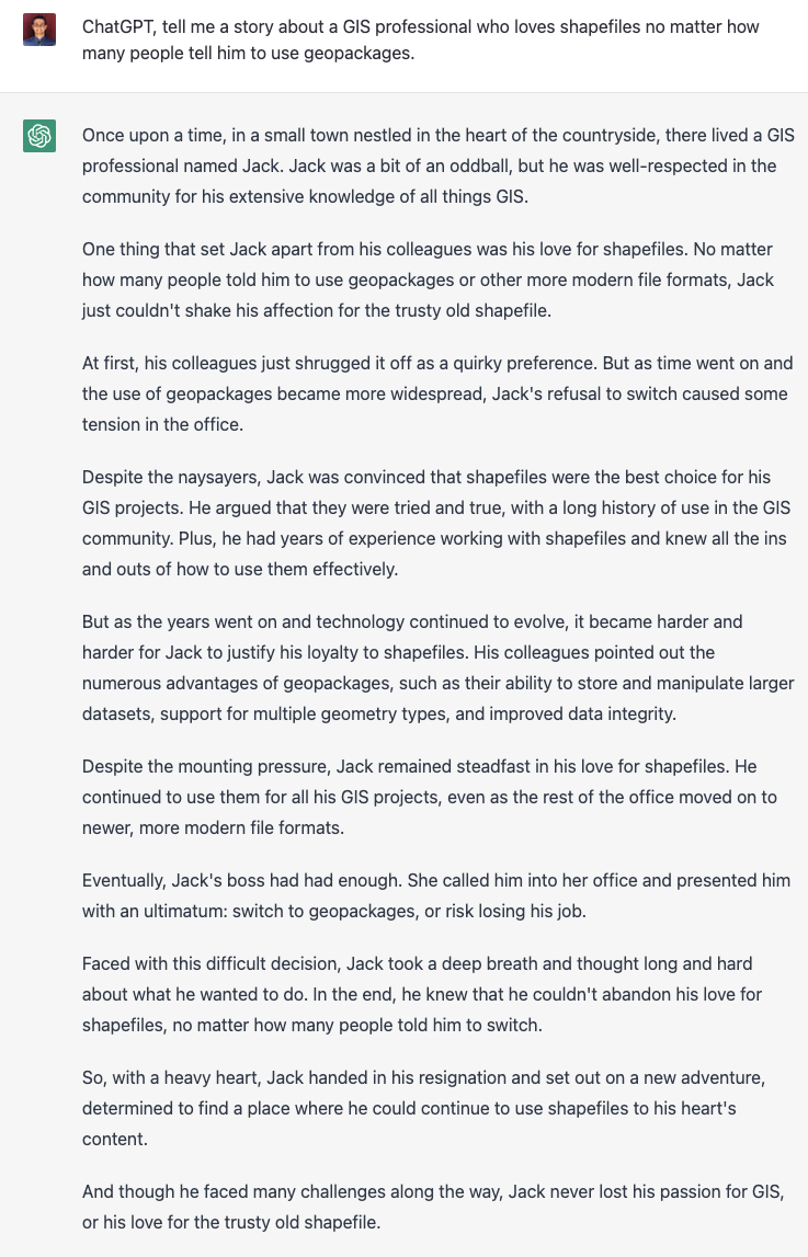
Had ChatGPT write a heartwarming tale about a GIS pro who refuses to let go of his love for shapefiles. It's a reminder that sometimes, sticking to our roots and what we know can be more important than following the latest trends. #gis #shapefiles #geopackages #mapping #giscommunity #gispros #gischat #geospatial #shapefile @shapefile
Ridiculous question: Is there an easy way to convert PDF #maps to #shapefiles? I'm still trying to figure out a way to get a shapefile of the US highway system circa 1975. #GIS
Something I tend to preach to users has been put on a website with details:
http://switchfromshapefile.org/
Don't use #shapefiles if you have no special usecase.
* exchange with dumb programs often still relies on it, though most implementations I see in real life are broken and ex-/import fail horribly
* even the company that invented the file format (30 yrs ago?) usually produces invalid data
* you never know, if the file format of the multiple files is borken or just the content
* use more #gpkg
Client Info
Server: https://mastodon.social
Version: 2025.07
Repository: https://github.com/cyevgeniy/lmst