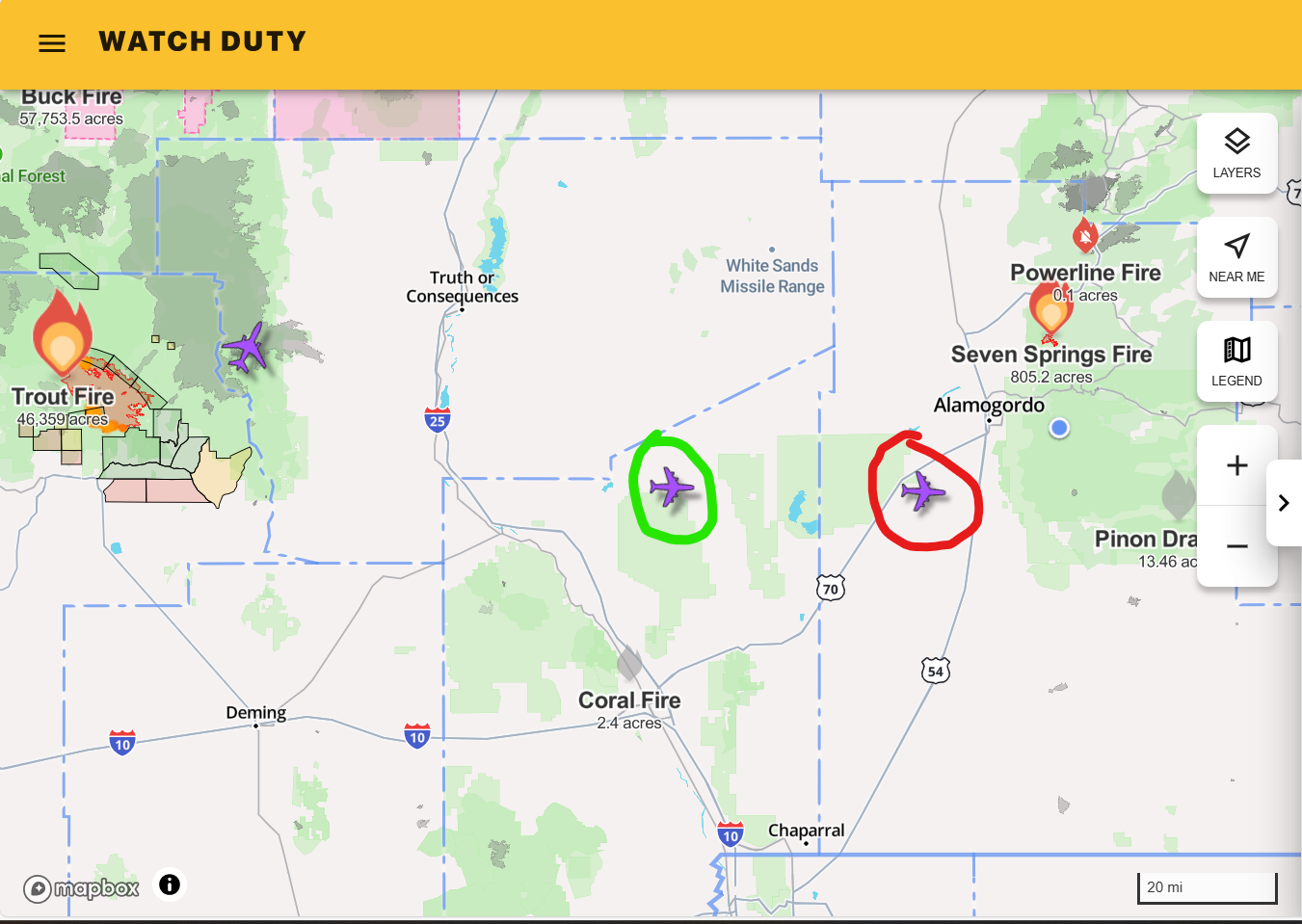
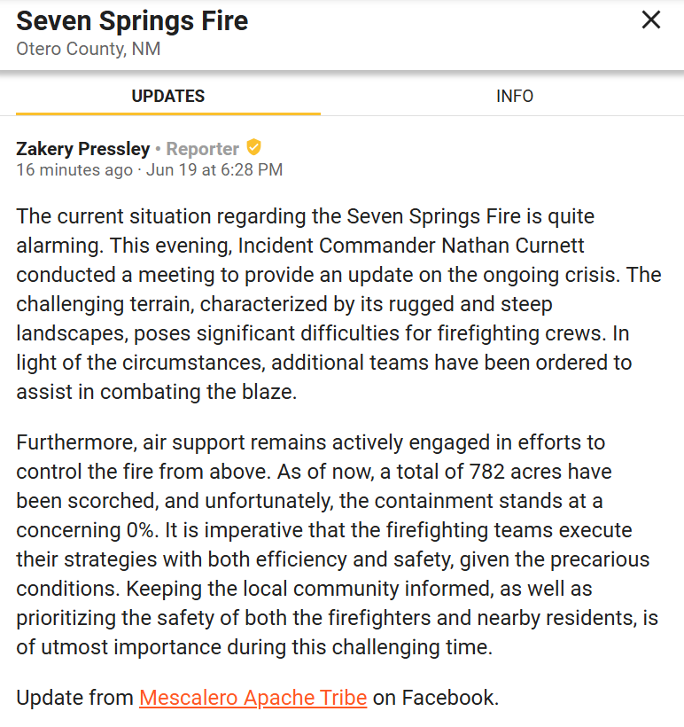
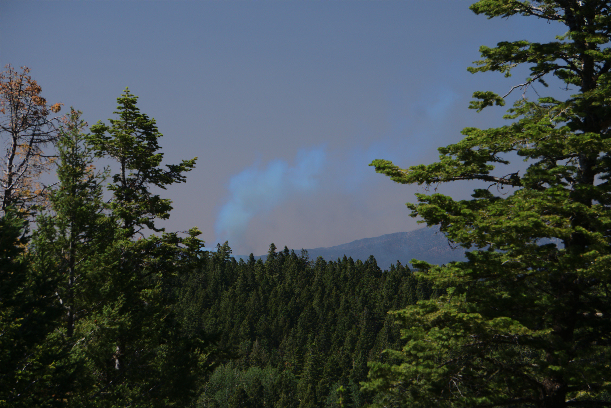
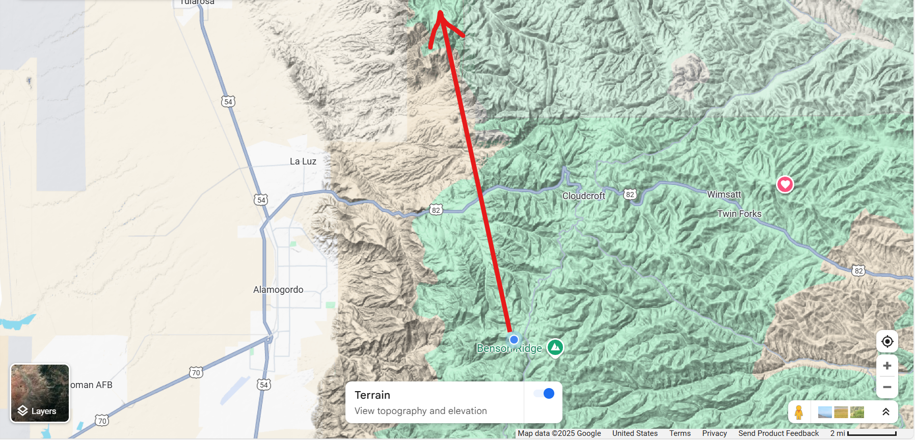
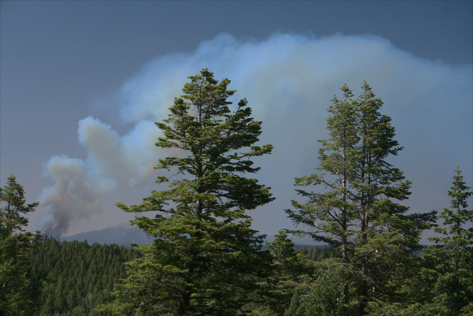
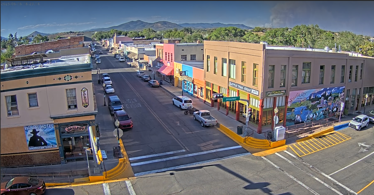
Water tanker aircraft, fighting forest fires in southern New Mexico...have clearance to cross White Sands Missile Range.
The aircraft icon circled in red has just existed the restricted area of the range, and the icon circled in green is just entering the restricted area.
https://en.wikipedia.org/wiki/White_Sands_Missile_Range
#NewMexico #WatchDuty #WhiteSands #Aviation #Fire #ForestFire