#HumboldtNF

Valerie Nortonvalhikes@en.osm.town
2024-01-07

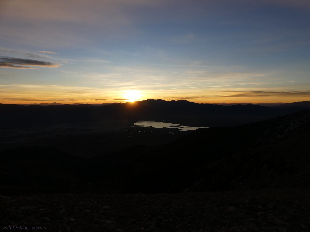
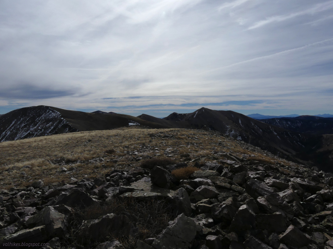
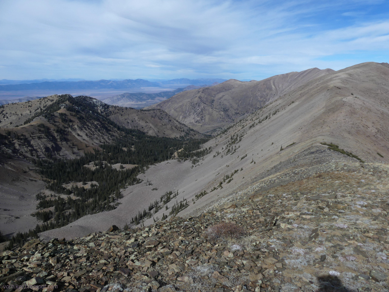
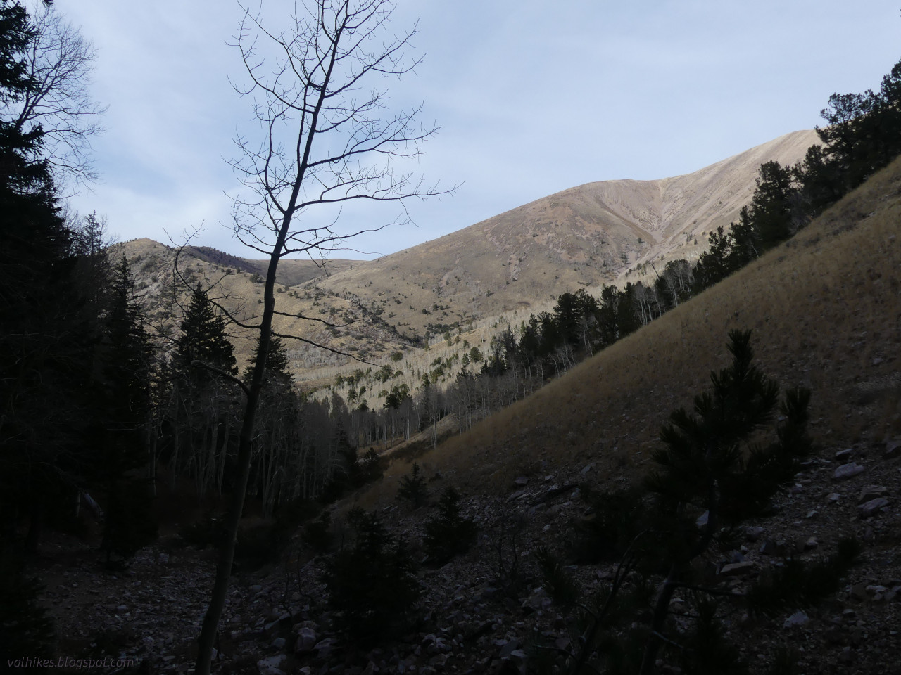
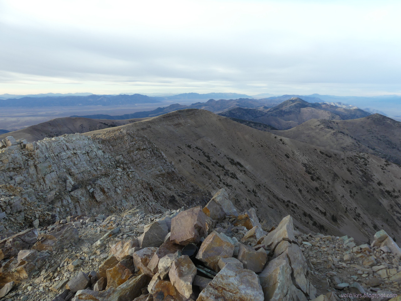
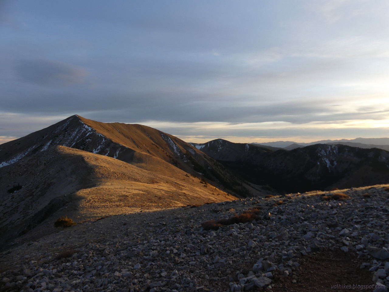
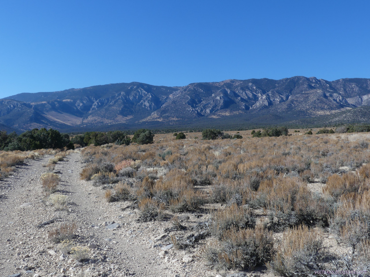
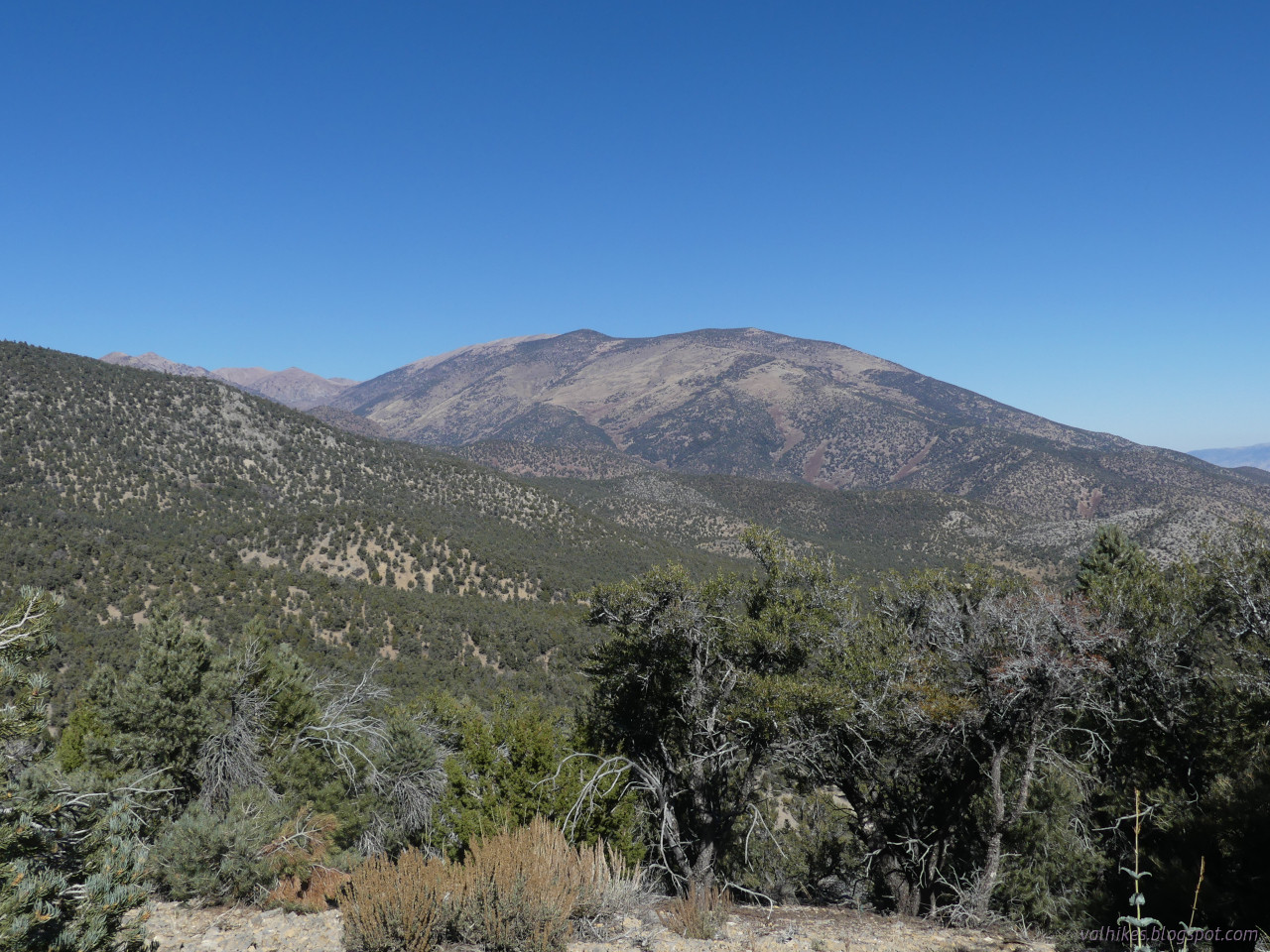
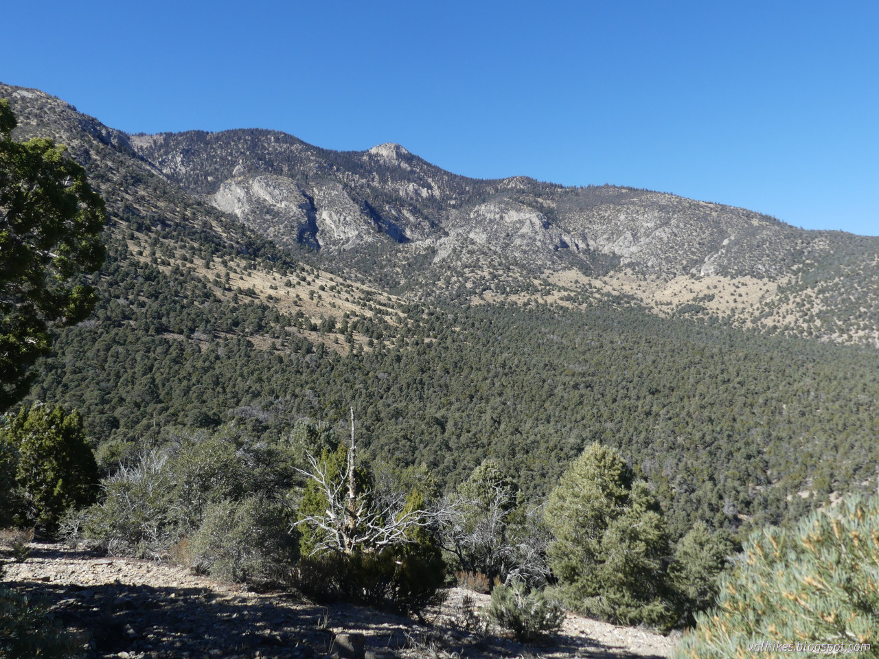
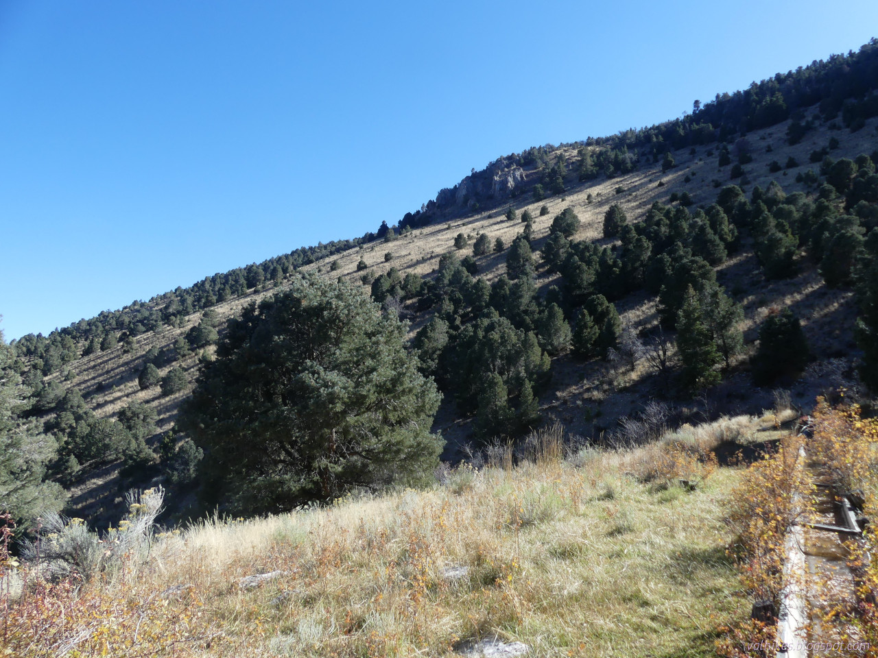
A little exploration of the of the mountain bike oriented trails around the edge of Ward Mountain. They are gentle climbs as is typical, but they get places while doing it, which is quite nice. I tagged an extra minor peak at the high point, too. Got even more views that way.

More: valhikes.blogspot.com/2023/11/

#hiking #nature #landscape #travel #hike #dayhike #outside #mountains #peakbagging #peakbagger #Nevada #HumboldtToiyabeNF #HumboldtNF #WardMountainRecreationArea #WardMountain #publiclands

Climbing the east side of loop L on Ward Mountain in Humboldt-Toiyabe National Forest, Nevada. This is the short road portion.

A road of two deep ditches extends away from the camera and another winds along the hillside in the distance. The hills rise high on the right and middling on the left. The left and lower areas have many juniper growing. More mountains are seen in lines in the distance with a tan valley between.At the top of a minor peak that loop L loops about. Ward Mountain Recreation Area, Humboldt-Toiyabe National Forest, Nevada.

High on a grassy hill with junipers growing below. A rocky ridge extends from the left downward to a valley. There's a highway crossing left to right in the valley and a second road extending away beside a hill. We get a high distant mountain behind the hill and lots of mountains in the far distance.Loop L at Ward Mountain Recreation Area in Humboldt-Toiyabe National Forest, Nevada. Two lines, only one actually getting used, extend through the grass and sagebrush at the bottom of a canyon. Pinon and juniper climb up the sides of the canyon. There's a little mountain visible at the end, but not much. Long, thin cloud stripes the blue sky.Spaceship over Ward Mountain from the Bureau of Land Management part of Ward Mountain Recreation Area in Nevada.

A cloud like a routered piece of wood hovers over the mountain, which is rounded on the left and pointy on the right where it is higher. A wide gravel road extends away from the camera in the foreground. All of the foreground is in shadow in the late afternoon light.
Valerie Nortonvalhikes@en.osm.town
2024-01-06

A 2nd visit to the High Schells Wilderness, this one to the high point, the highest Schell. I made it a quick overnight trip, finding a tiny flat spot high on the ridge and out of the wind (at least for the evening) to spend the night.

New blog post here: valhikes.blogspot.com/2023/11/

#hiking #nature #landscape #travel #hike #outside #mountains #peakbagging #Nevada #backpacking #overnight #HighSchellsWilderness #HumboldtNF #HumboldtToiyabeNF #ridge #abovetreeline #ontheedge #publiclands #wilderness

North Fork Timber Creek (where it has water!) in High Schells Wilderness, Humboldt National Forest, Nevada

A valley of dried grass with rocky walls climbing to bare tops. Lines and groups of leafless aspen and bright green spruce occupy the lower hillsides.Looking back south along Timber Creek from the North Fork to the South Fork in High Schells Wilderness, Humboldt National Forest, Nevada.

A long V shaped valley, largely bare rocks on the left and with a thin covering of evergreen trees on the right and a patch of snow on the far end.Looking north from North Schell Peak, High Schells Wilderness, Humboldt-Toiyabe National Forest, Nevada.

Bare ridge winding north with rocks of white and light yellow. Spots of green do grow in some places.Golden late light on the peaks south of North Schell Peak in High Schells Wilderness, Humboldt-Toiyabe National Forest, Nevada.

Bare ridge line winding and rising to a point before winding a bit more. Some snow is on the surfaces on the left. The slopes drop in a steep line to green in the bottom of the valley before rising faster to another ridge, bare with a little snow on sheltered faces.
Valerie Nortonvalhikes@en.osm.town
2023-12-28

Day 3 of 3 backpacking Mount Moriah Wilderness in Humboldt-Toiyabe National Forest was just getting back, but it was sunnier and there were more flowers photographed and more birds seen.

New blog post here: valhikes.blogspot.com/2023/10/

#hiking #nature #naturephotography #landscape #landscapephotography #travel #hike #outside #mountains #backpacking #wildlife #wildflowers #canyon #HumboltToiyabeNationalForest #HumboldtToiyabeNF #HumboldtNationalForest #HumboldtNF #Nevada #MountMoriahWilderness

Aspens, with stark white bark, stand around a ground covered in their yellowed leaves. Trail is visible faintly down the middle among the leaves. The spaces between the tall, thin trunks show a distant hill.Townsend's solitaire.

A grey, thin bird sits on a dead tree branch.A sign for Mount Moriah Wilderness is centered. It occupies a canyon with a wide, flattish floor and nearly vertical rocky sides. Nude trees and red bushes are at the edge of the meadow of the bottom of the canyon.Hendrys Creek in Mount Moriah Wilderness in Humboldt-Toiyabe National Forest.

Flat canyon floor covered in sagebrush with tall conifers following the creek. The follow a line on the right of the canyon, then across and back again. The canyon walls are vertical on the right (south) and sloped on the left.
Valerie Nortonvalhikes@en.osm.town
2023-12-28

Day 2 of 3 #backpacking the Mount Moriah Wilderness was given over to bagging the namesake peak and then exploring The Table. The trail to the top certainly isn't as mapped. The mountain and plateau are covered in grand bristlecone pines.

New blog post here: valhikes.blogspot.com/2023/10/

#hiking #nature #landscape #landscapephotography #travel #hike #outside #mountains #peakbagging #peakbagger #Nevada #HumboldtToiyabeNF #HumboldtNF #MountMoriahWilderness #walking #wilderness #peak #abovetreeline

Up on The Table looking at the false peaks on the way to Mount Moriah in Mount Moriah Wilderness, Humboldt National Forest, Nevada.

Grassy flat slopes down to the left with a lump of rock sticking out of it in the near distance. The rock has trees on the left (south) side and is somewhat barren on the right. Beyond it, a more interesting lump of rock sticks up even further out of the trees.Bristlecone pines on a slope of white gravel on Mount Moriah. The old trees are stout with much wood showing where the tree has died away, but other parts of them are full of green needles. Beyond is the flat grass plateau of The Table.Reference mark 2 at the top of Mount Moriah. A bronze disk with an arrow is set in a rock with a pair of shoes on either side.View at the top of Mount Moriah looking north. A rock shelter with a little snow in it is at the feet of the photographer. It occupies a rock covered surface sloping away. The ridge ahead drops and then rises in a line of rock with loose rocks sloping away to left and right. Beyond it, a wide plateau stretches from left to right. Beyond that, lower hills show the plateau is quite high up.
Valerie Nortonvalhikes@en.osm.town
2023-11-05

I got quite a bit further into the High Schells Wilderness now!

Yeah, they went with a different spelling on the benchmark.

#hiking #peakbagging #Nevada #wilderness #landscape #nature #rocky #desert #GreatBasin #HumboldtNF

Timber Creek, looking from the north fork to the south fork, in the High Schells Wilderness of Humboldt National Forest. (Knows as Humboldt-Toiyabe.)

A canyon with trees down low and sometimes climbing high, but mostly scrub it rocks up high there is an opening to the right and a high end in the distance.At the top of North Schell Peak, high point of the High Schells Wilderness of Humboldt National Forest.

A rock cairn adorns the peak of the foreground. After a deep drop, there are more peaks almost as high. All are about as rocky at the tops and ridge between a the cairn.The NORTH SHELL benchmark on North Schell Peak.

A brass disk set into a tilted rock with stones and a couple toes of shoes around it. At the center of the disk is a triangle showing this is the station mark. There may be some references pointing at it, but it was a bit too windy and cold to spend much time looking.

Client Info

Server: https://mastodon.social
Version: 2025.04
Repository: https://github.com/cyevgeniy/lmst