#OSM

2025-05-29

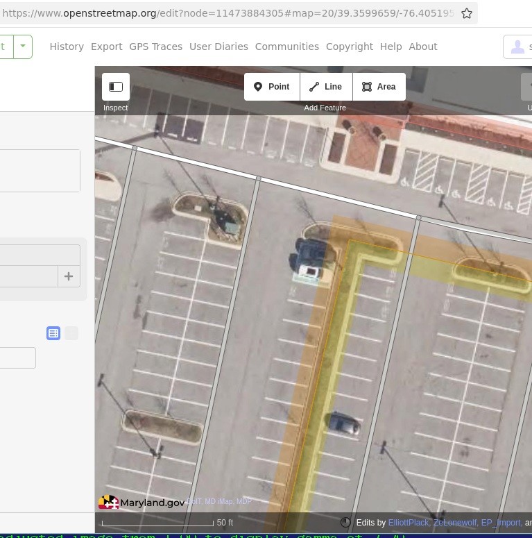
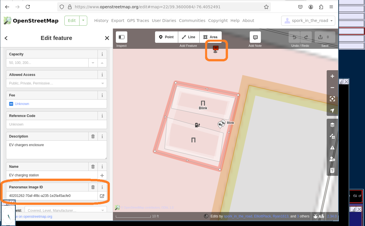
As I was not sure how to turn a charger "point" or node into an area I created an #OSM area around EV parking spaces and charger sockets (or cables). NetBSD 10.1 web client only.
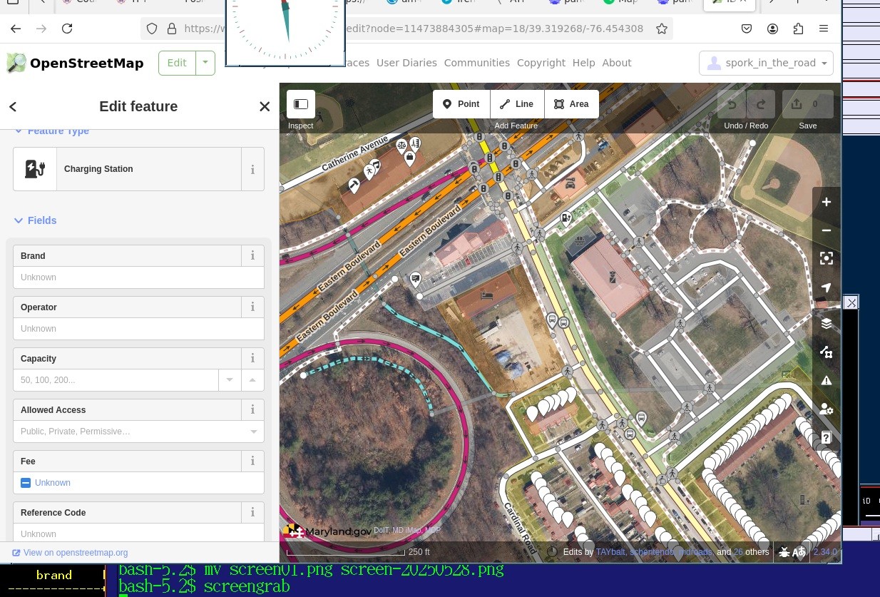
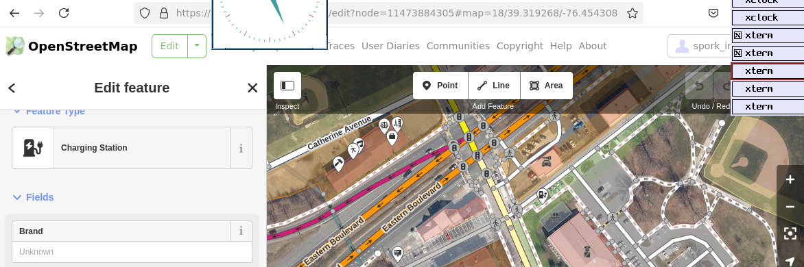
Need help with normalizing/de-duplicating tags such as "brand".

#Panoramax

reference: wiki.openstreetmap.org/wiki/Ta

open street map aerial image of a parking lot; 2 vehicles near center in apparently marked spaces.open street map aerial image of a single EV charger location feature.open street map parking lot schematic
rectangle
2 parking spaces
2 charging sockets
1 image with panoramax link higlightedslice of an image of a charging station

#OSM mon commerce, un outil pour contribuer à #openstreetmap quand on tient une boutique, sans avoir de compte OSM.

forum.openstreetmap.fr/t/osm-m

Suite à cette discussion concernant des possibilités de jardinage d’OSM sans toujours compter sur la bonne volonté des contributeurs habituels grâce à l’envoi de mails aux commerces existants déjà dans la base, j’ai entrepris une démo de ce que ça donnerait. voici donc un éditeur en ligne expérimental qui permet de modifier un lieu sans avoir de compte perso. on donnerait un lien de ce genre aux gens par mail. l’outil est encore instable mais permet de réellement modifier les nodes ou way...

démo de formulaire
2025-05-28

Real-world maps are helping developers make games about trains and farms #OpenStreetMap #osm
theverge.com/games/672035/open

2025-05-28

#strassenlampen um die Druckscheune #osm
#OpenStreetMap

Strassenlampen um die Druckscheune

Mapping the surface of pedestrian crossing

lemmy.world/post/30390412

State of the Map US is looking for volunteers! We need help setting up the venues, providing support for our speakers, checking in attendees, and much more. If you sign up for two or more volunteer shifts, you’ll be sent a code for a $100 ticket! Use this link to claim your shifts: signupgenius.com/go/10C0E4DA5A

#StateoftheMapUS #volunteer #SOTMUS #OpenStreetMap #OSM

2025-05-28

🎉 Hit 300 followers! 🌍🗺️

I’m a #Geospatial analysis nerd, solving strategic spatial problems across Europe with #QGIS & #GIS and tinkering in #OpenStreetMap.

If you love puzzles made of pixels and place, stick around and please follow or retoot so other map magicians can find us. 🙌

#gischat #Geo #geospatial #DataViz #Data #OSM #opendata

Professeur Cot 🌎cot
2025-05-28
2025-05-27

Attempting to add EV charging stations to #OSM, I found a station with 2 sockets (Type 1). But, the delivered voltage drops in half if 2 vehicles charge simultaneously. How should this data be coded?

Does [socket:type1:output=6 kW;3 kW] make sense?

panoramax.openstreetmap.fr/#fo

2025-05-27

Overture on open, interoperable geodata: #Grid features an interesting interview with Jennings Anderson, a #Meta Software Engineer and #OpenStreetMap (#OSM) researcher, who shares his perspective on the #Overture Maps Foundation (#OMF) — an initiative aiming to integrate diverse open...
spatialists.ch/posts/2025/05-2 #GIS #GISchat #geospatial #SwissGIS

2025-05-27

Как я в одиночку в кроссовках и шортах смог остановить распространение огня в заповеднике

26 мая горел заповедник в Муромском районе, Владимирской обл., в котором водится, например, исчезающий вид звезрька — Русская Выхухоль. Огонь локализован по периметру ~450м, МЧС не встретил, цена — поцарапанные ноги, руки об шиповник/ветки, слегка обжёгся, уничтоженные кроссовки без возможности их восстановления и ни единой занозы.

habr.com/ru/articles/913220/

#Пожары #osm #личный_опыт

2025-05-27

Un nouveau billet de blog sur la des dommages aux bâtiments à après la du cyclone
Le billet inclut de nouveaux indicateurs et des résultats actualisés chaque heure, désagrégés au niveau des 17 communes.
Les résultats montrent l'état actuel de la cartographie et l'hétérogénéité des dégâts sur le territoire.

leslibresgeographes.org/cartog

2025-05-27

A new blog post about of building damage in after cyclone
The post includes new indicators and hourly results, disaggregated to the level of the 17 communes.
The results show the current state of the mapping and the heterogeneity of the damage across the territory.

leslibresgeographes.org/cartog

2025-05-27

In Geospatial / Geospatial Analytics: What creative and fun use case do You bring to events?

#GIS #Gischat #Geo #QGIS #geospatial #data #DataViz #osm #Openstreetmap

A man wearing red high-vis road worker jacket and pants is holding the mentioned waffle iron open. He's holding a handle that's been welded to a manhole cover, which is hinged into a base on the other side. The base is a big yellow box with a logo and a blackish top. On the top of the base is another manhole cover -- the bottom plate of the iron.

A finished waffle taking up almost the entire area of the manhole cover is presented on top of the bottom plate.
2025-05-27

👀 Prochaine rencontre Mapadour fin juin ! Sondage en cours pour choisir la date 📅 : forum.openstreetmap.fr/t/proch
#Openstreetmap #osm #Mapadour #Bayonne #Seignanx

2025-05-27

Wie fügt man Bilder in den ID editor im browser bei osm ein ?

#osm #OpenStreetMap

2025-05-27

#osmand #osm #organicMaps
#help
Savez vous pourquoi on ne voit pas toutes les informations des cartes open street map sur osmand ou organicmaps?

Par exemple sur open street map un marché a été signalé au faou mais cela n'apparaît pas dans osmand ou organicmap.

Sagit-il d'un paramètre à activer?

Voila le marché en question :

openstreetmap.org/node/1278612

2025-05-27

#Zingst  #strassenlampen
#OpenStreetMap #osm

Zumindest soweit wie ich gekommen war. Ich war  auch in anderen Orten

Strassenlampen Zingst

Client Info

Server: https://mastodon.social
Version: 2025.04
Repository: https://github.com/cyevgeniy/lmst