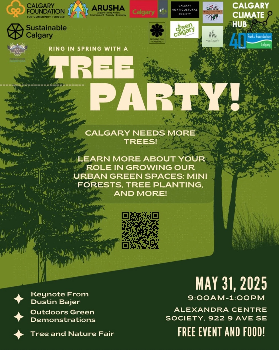
RSVP: www.calgaryclimatehub.ca/tree_party
#TreeEquity #TreeCanopy #yyc #yyccc #ClimateAction
The Tree Party
#TreeCanopy
Did you know that Calgary has the lowest tree canopy across Canadian major cities?
Join us on May 31st to learn more about your role in growing our urban forest spaces and the importance of trees in supporting climate mitigation!

Did you know that Calgary has the lowest tree canopy across Canadian major cities? Join us on May 31st to learn more about your role in growing our urban forest spaces and the importance of trees in supporting climate mitigation! #TreeEquity #TreeCanopy #yyc #yyccc #ClimateAction
Did you know that Calgary has the lowest tree canopy across Canadian major cities?
Join us on May 31st to learn more about your role in growing our urban forest spaces and the importance of trees in supporting climate mitigation!
RSVP: www.calgaryclimatehub.ca/tree_party
Did you know that Calgary has the lowest tree canopy across Canadian major cities? Join us on May 31st to learn more about your role in growing our urban forest spaces and the importance of trees in supporting climate mitigation! #TreeEquity #TreeCanopy #yyc #yyccc #ClimateAction

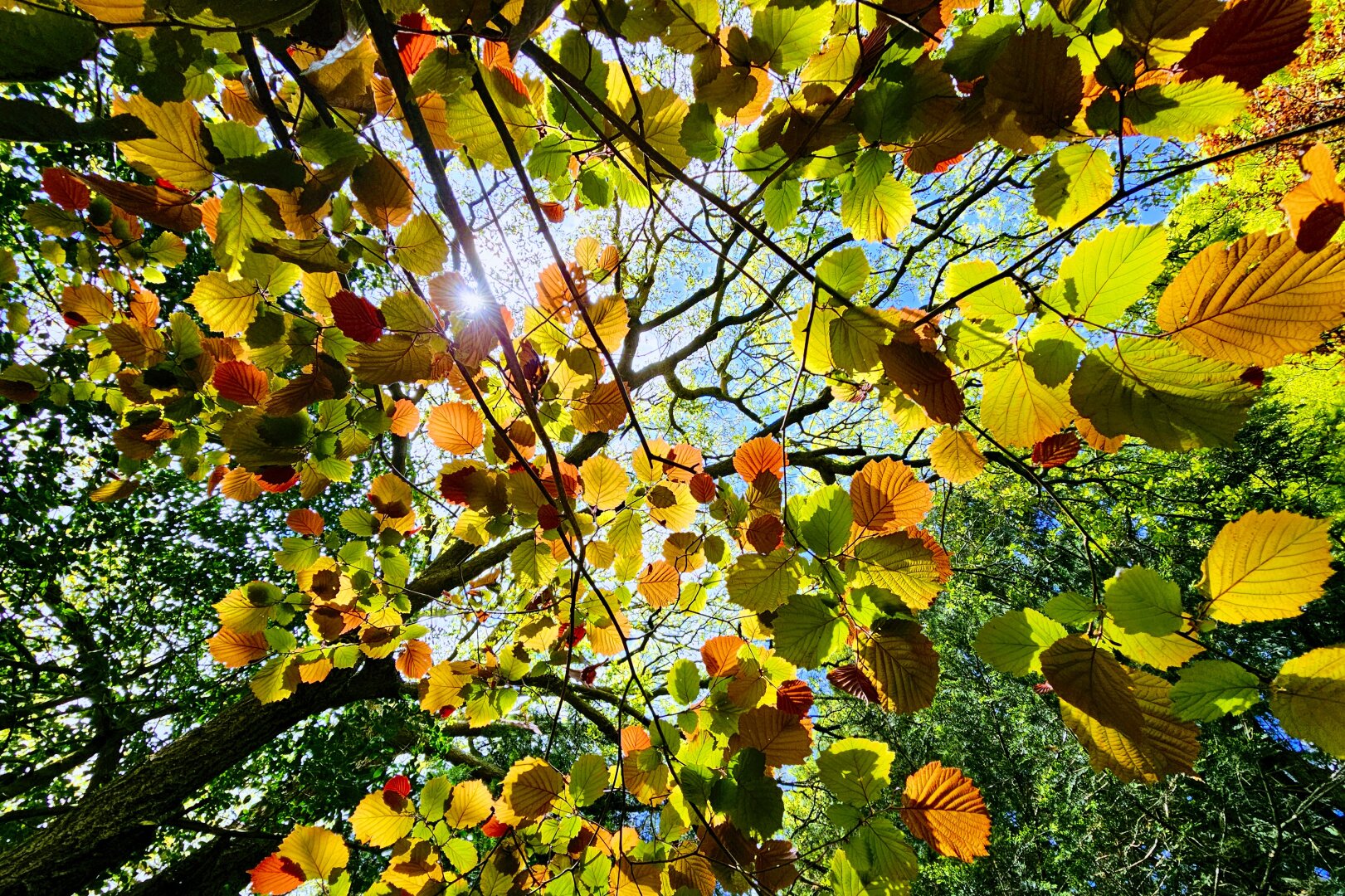
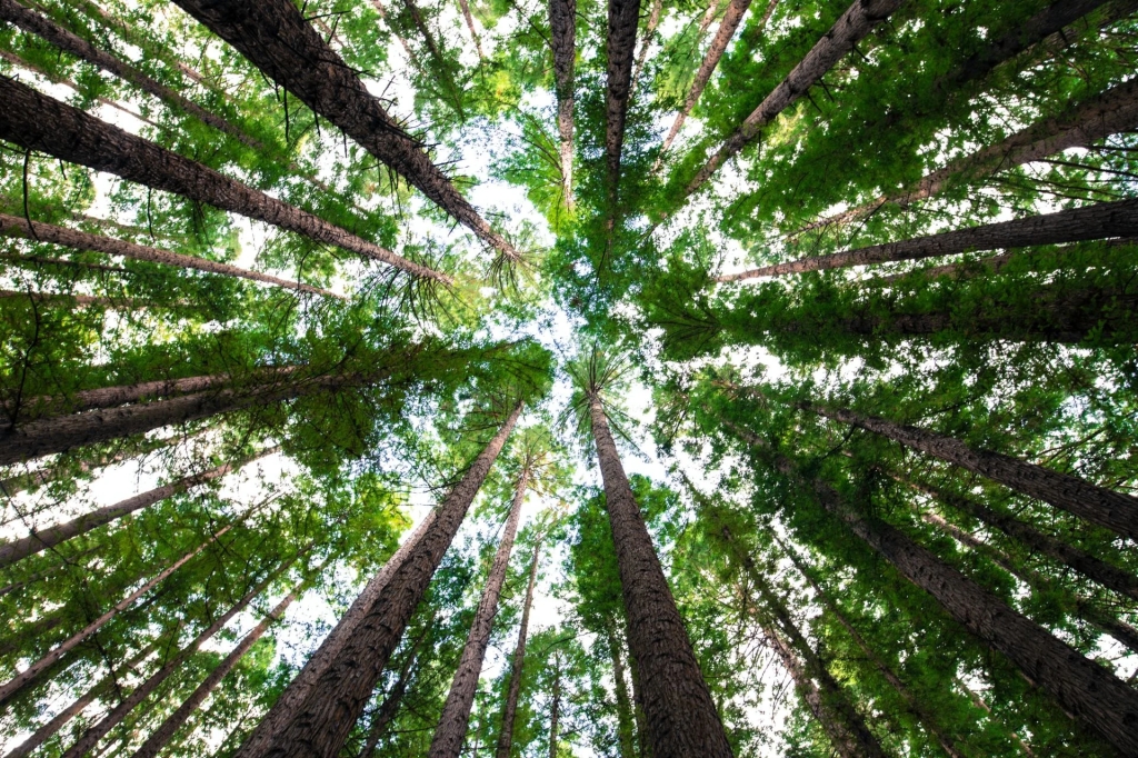
Is it Spring or is it Fall? #springleaves #hazeltree #newgrowth #treecanopy #springgreen #naturephotography #smartphonephotography #photography
Ranking Canadian cities by trees/square kilometer
Source: theweathernetwork.comThe following list identifies Canadian cities with the highest densities of trees per square kilometer. The numbers include publicly and privately owned trees. Though not all cities have data on their overall tree canopy, enough have gathered the necessary information to provide an interesting comparison.
Areas where more data would be useful include Atlantic Canada, Quebec, Saskatchewan, Boreal Canada, and more areas in British Columbia, including Vancouver. As more information becomes readily available the ranking will be updated accordingly. Peace!
Source: vancouver.ca——-
- Richmond Hill, Ontario = 2.96 million trees/100.8 sq. km = 29,365 trees/sq. km or 75,897 trees/ sq. mile
2. Edmonton, Alberta = 12.8 million trees/684 sq. km = 18,713 trees/sq. km or 48,448 trees/ sq. mile
3. Vaughan, Ontario = 5.0 million trees/272.4 sq. km = 18,355 trees/sq. km or 47,528 trees/sq. mile
4. Toronto, Ontario = 11.5 million trees/630 sq. km = 18,254 trees/sq. km or 47,267 trees/sq. mile
5. Kelowna, British Columbia = 3.3 million trees/211.85 sq. km = 15,577 trees/sq. km or 40,342 trees/ sq. mile
6. Markham, Ontario = 3.29 million trees/212.5 sq. km = 15,482 trees/ sq. km or 40,122 trees/sq. mile
7. Oakville, Ontario = 2.0 million trees/138.9 sq. km = 14,399 trees/sq. km or 37,037 trees/sq. mile
8. Brampton, Ontario = 3.6 million trees/265 sq. km = 13,585 trees/sq. km or 34,951 trees/sq. mile
9. Whitby, Ontario = 1.9 million trees/146.7 sq. km = 12,952 trees/sq. km or 33,539 trees/sq. mile
10. St. Albert, Alberta = 558,800 trees/47.8 sq. km = 11,690 trees/sq. km or 30,205 trees.sq. mile
11. London, Ontario = 4.0 million trees/420.5 sq. km = 9,512 trees/sq. mile or 24,631 trees/sq. mile
12. Peterborough, Ontario = 650,000 trees/64.8 sq. km = 10,031 trees/sq. km or 24,423 trees/sq. mile
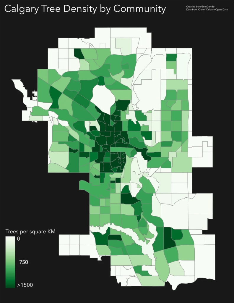
13. Calgary, Alberta = 7.0 million trees/825 sq. km = 8,485 trees/sq. km or 21,971 trees/sq. mile
Source: reddit.com14. Victoria, British Columbia = 150,000 trees/19.5 sq. km = 7,692 trees/sq. km or 20,000 trees/ sq. mile
15. Mississauga, Ontario = 2.1 million trees/288.4 sq. km = 7,282 trees/sq. km or 18,601 trees/sq. mile
16.. Saanich Core District, British Columbia = 742,000 trees/103.6 sq. km = 7,162 trees/sq. km or 18,550 trees/sq. mile
17. Brantford, Ontario = 675,000 trees/98.7 = 6,839 trees/sq. km or 17,717 trees/sq. mile
18. Winnipeg, Manitoba = 3.0 million trees/464 sq. km. = 6,465 trees/sq. km or 16,741 trees/sq. mile
19. Hamilton, Ontario = 5.0 million trees/1,118 sq. km = 4,472 trees/sq. km or 11,390 trees/sq. mile
20. Kanata, Ontario = 465,393 trees/132.2 sq. km = 3,513 trees/sq. km or 9,106 trees/sq. mile
21. Montreal, Quebec = 1.2 million trees/365 sq. km = 3,288 trees/sq. km or 8,511 trees/sq. mile
22. Richmond, British, Columbia = 360,000 trees/128.9 sq. km = 2,793 trees/sq. km or 7,186 trees/ sq. mile
23. Halifax Regional Municipality, Nova Scotia = 2.5 million trees/5,476 sq. km = 457 trees per sq. km or 1,183 trees/sq. mile
SOURCES:
- https://www.calgary.ca/parks/trees/city-owned.html#:~:text=As%20a%20municipality%2C%20Calgary%20has,natural%20areas%20and%20green%20spaces.
- https://edmonton.taproot.news/briefs/2021/07/27/chart-of-the-week-striving-to-plant-two-million-trees
- https://www.winnipeg.ca/services-programs/trees-environment/trees#:~:text=More%20than%20three%20million%20trees,the%20forest%20into%20the%20future.
- https://www.cbc.ca/news/canada/hamilton/hamilton-tree-canopy-1.6899975
- https://www.toronto.ca/news/city-of-toronto-receives-tree-city-of-the-world-designation/#:~:text=The%20City%20plants%20approximately%20120%2C000,urban%20forest%20and%20natural%20environment.
- land areas garnered via http://www.google.com or en.wikipedia.org
- https://thepointer.com/article/2024-03-11/in-a-first-step-to-saving-the-urban-forest-brampton-taking-stock-of-its-trees#:~:text=The%20city%20is%20home%20to,Tableland%20Tree%20Assessment%20Guidelines%20report.
- https://www.richmondhill.ca/en/learn-more/Find-or-Learn-About-Trees-and-Yards.aspx#:~:text=There%20are%202.96%20million%20trees,is%20determined%20at%20ground%20level.
- https://www.richmond.ca/city-hall/strategies/mandateparksrec/planning/Public_Tree_Management_Strategy.htm#:~:text=public%20urban%20forest.-,The%20Public%20Urban%20Forest,and%20maintained%20by%20the%20City.
- https://www.markham.ca/neighbourhood-services/trees#:~:text=Markham’s%20Urban%20Forest,Markham%20Bur%20Oak%20Information%20Page.
- https://london.ca/living-london/water-environment/trees/privately-owned-trees
- https://www.montrealgazette.com/news/article264137.html
- https://www.cbc.ca/player/play/video/9.6546875#:~:text=Halifax%20is%20looking%20to%20bring%20more%20trees%20to%20lower%2Dincome%20communities,-6%20months%20ago&text=There%20are%20about%202.5%20million,Preston%20Mulligan%20has%20the%20story.
- https://www.victoria.ca/parks-recreation/trees-urban-forest
- https://www.kelowna.ca/sites/files/1/docs/parks-rec/city_of_kelowna_urban_forest_strategy.pdf
- https://www.saanich.ca/assets/Parks~Recreation~and~Community~Services/Documents/Parks~Parks~Trails~and~Amenities~Find~a~Park/UrbanForestReport_Feb2023.pdf
- https://www.stalbertgazette.com/local-news/know-your-tree-1282317#:~:text=Albert.-,St.,common%20boulevard%20and%20park%20tree.
- https://www.mississauga.ca/services-and-programs/forestry-and-environment/trees/one-million-trees/#:~:text=There%20are%202.1%20million%20trees,and%20the%20effects%20of%20pollution
- https://www.oakville.ca/getmedia/1077b939-8f45-4cef-bb02-99f8ddfe8542/itree-growing-livability-report.pdf
- https://pub-vaughan.escribemeetings.com/filestream.ashx?DocumentId=164077#:~:text=Background,within%20the%20city’s%20municipal%20area.
- https://connectwhitby.ca/urbanforest#:~:text=Whitby’s%20urban%20forest%20includes%20all,about%2025%25%20of%20the%20Town.
- https://peterboroughcurrents.ca/environment/new-urban-forest-bylaw/#:~:text=How%20the%20urban%20forest%20fights,cited%20in%20the%20staff%20report.
- https://ehq-production-canada.s3.ca-central-1.amazonaws.com/8db8cdd79d8d264ef0d955c6445b8f52b511ed53/original/1696422456/cc9ef42892c731d9317e8c6fb93e49f9_City_of_Brantford_Tree_Canopy_Fact_Sheet.pdf?X-Amz-Algorithm=AWS4-HMAC-SHA256&X-Amz-Credential=AKIA4KKNQAKIFWFOUYFI%2F20250428%2Fca-central-1%2Fs3%2Faws4_request&X-Amz-Date=20250428T144016Z&X-Amz-Expires=300&X-Amz-SignedHeaders=host&X-Amz-Signature=7b152bf2dcdc30273a43561d1c2c8624cdb76576b04e08eacea57cd768ff4622
- https://www.kanatabeaverbrook.ca/resources/2023TreeInventoryReport.pdf
#Canada #cities #environment #forests #geography #history #landUse #planning #stats #travel #treeCanopy #treeDensity #trees #woodlands
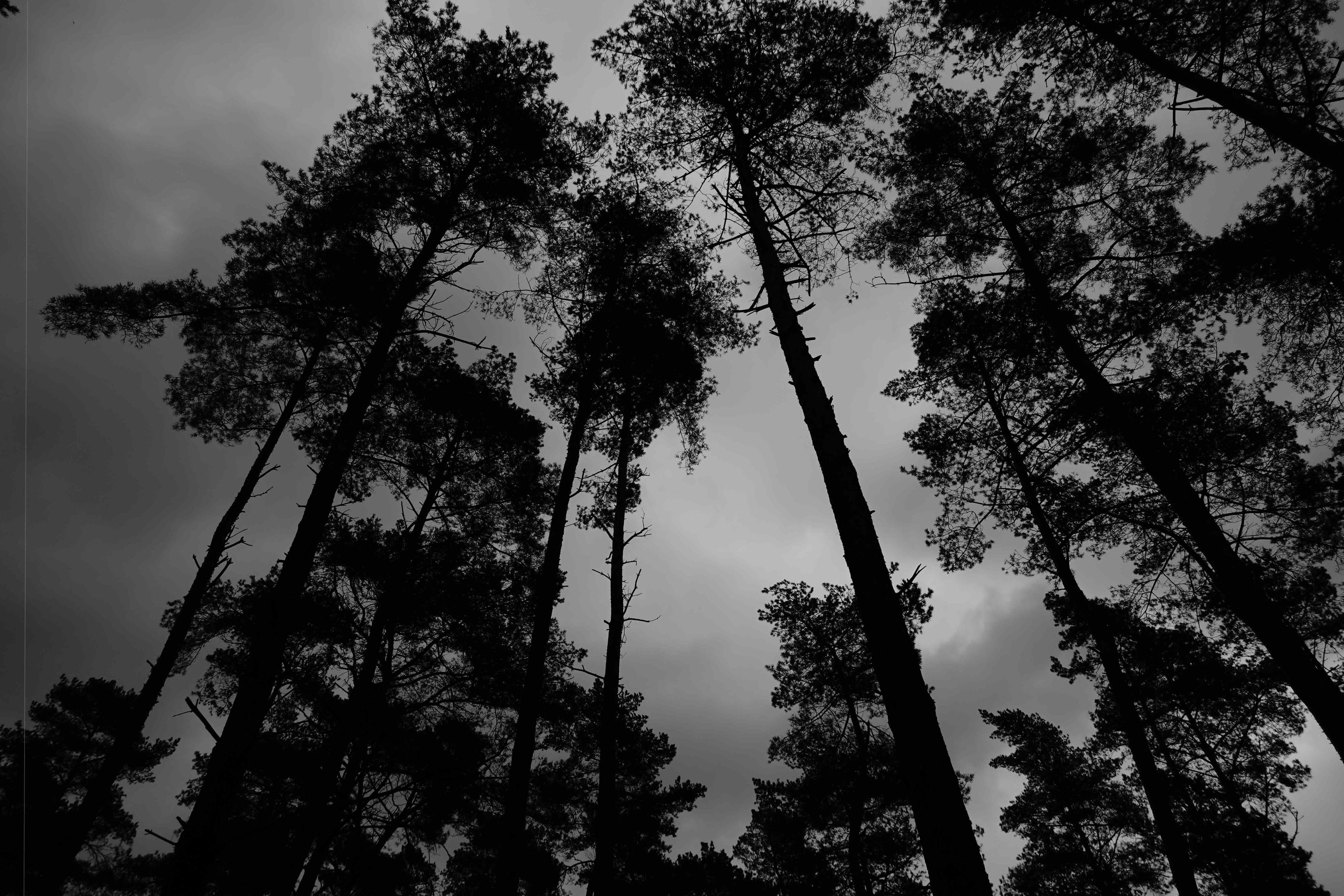
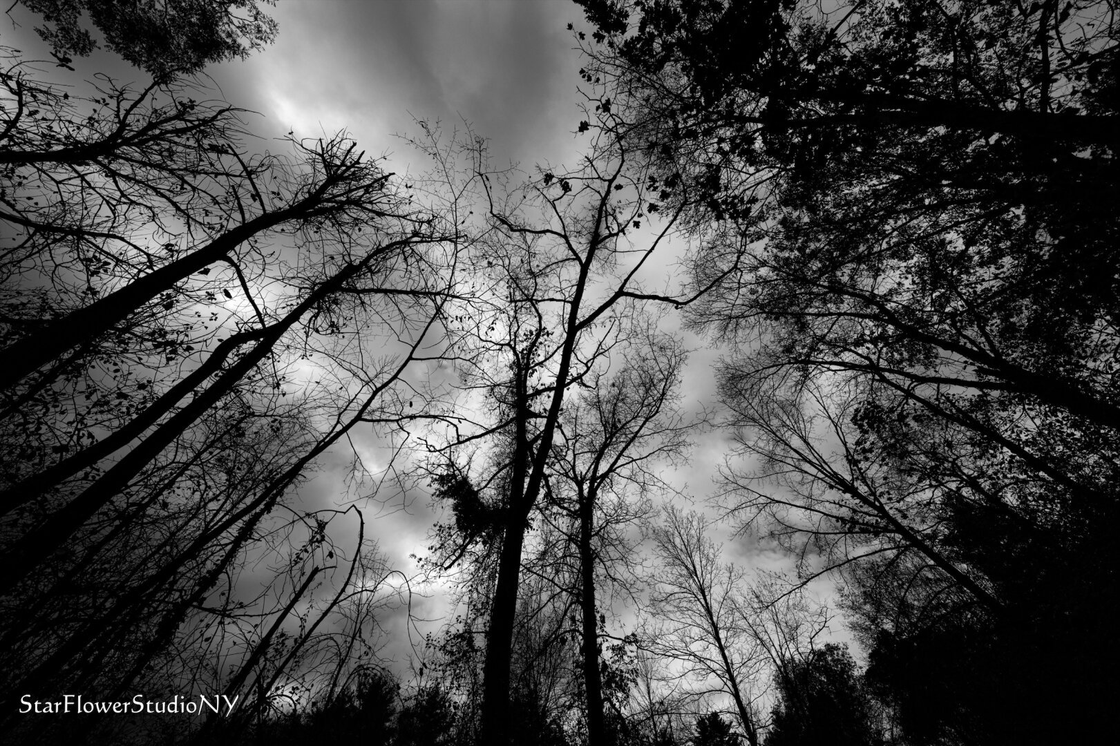
This image shows a black and white view of tall trees, likely a forest, looking up toward the sky. The trees are silhouetted against a cloudy sky, giving the image a dramatic and moody atmosphere.
#NaturePhotography #NatureLovers #TreeCanopy #WildernessCulture #BlackAndWhite #SilhouetteTrees #MysteriousForest #MoodyNature #ForestVibes #NatureInspiration #OutdoorBeauty #DramaticSky
American cities with the most trees per square mile
Source: thoughtco.comListed below are those larger American cities for whom data on tree canopies is readily available, that have the most trees per square mile. Bear in mind that some examples are solely from inside the city limits proper, while others like Miami are for both the city and surrounding county.
Most surprising from the data gathered is the extent of the tree canopies in some Texan cities, especially Dallas and its suburbs, as well as Austin. Also, an unfortunate number of cities have not estimated the extent of their tree canopy.
One would have thought that ever city with a collegiate forestry or landscape architecture program would have long since calculated the extent of their tree canopy. Certainly, some have, as Athens, Austin, Seattle, Ann Arbor, Gainesville, and Fort Collins all can attest. But to not find comparable numbers from places like Boulder, Eugene, Raleigh, or Madison was quite unexpected.
Peace!
Note: Data is for all trees on both public and private property.
_______
- Athens, Georgia = 13.3 million or 112,640 trees per square mile
2. Austin, Texas = 33.8 million or 103,522 trees per square mile
3. Orlando, Florida = 7.5 million or 67,812 trees per square mile
4. Tampa, Florida = 9.9 million or 56,474 trees per square mile
5. Seattle, Washington = 4.35 million or 51,909 trees per square mile
6. Ann Arbor, Michigan = 1.45 million or 51,408 trees per square mile
7. Houston, Texas = 33 million or 49,624 trees per square mile for Houston
8. Gainesville, Florida = 2.95 million or 46,714 trees per square mile
9. Springfield, Missouri = 3.6 million or 43,742 trees per square mile
10. Bellevue, Washington = 1.4 million or 41,841 trees per square mile
11. Lewisville, Texas = 1.652 million or 38,870 trees per square mile
12. Dallas, Texas = 14.7 million or 38,103 trees per square mile
13. Washington, DC = 2.43 million or 35,578 trees per square mile
14. Denton, Texas = 3.5 million or 35, 425 trees per square mile
15. Milwaukee, Wisconsin = 3.38 million or 35,135 trees per square mile
16. Cleveland, Ohio = 2.37 million or 30,502 trees per square mile
17. Baltimore, Maryland = 2.8 million or 30,418 trees per square mile
18. Arlington, Texas = 2.965 million or 29,589 trees per square mile
19. Arlington, Virginia = 755,000 = 29,038 trees per square mile
20. Grand Rapids, Michigan = 1.28 million or 28,444 trees per square mile
21. Tulsa, Oklahoma = 5.2 million or 26,329 trees per square mile
22. New York City, New York = 7.0 million 23,133 trees per square mile
23. Plano, Texas = 1.6 million or 22,222 trees per square mile
24. Los Angeles, California = 10.5 million or 20,887 trees per square mile
25. Cincinnati, Ohio = 1.6 million or 20,566 trees per square mile
26. Philadelphia, Pennsylvania = 2.9 million or 20,322 trees per square mile
27. Providence, Rhode Island = 415,000 or 20,165 trees per square mile
28. Miami-Dade County, Florida = 36 million 0r 18,499 per square mile
29. Chicago, Illinois = 4.1 million or 18,038 trees per square mile
30. Minneapolis, Minnesota = 979,000 or 17,026 trees per square mile
31. Denver, Colorado = 2.2 million or 14,379 trees per square mile
32. San Francisco, California = 669,000 or 14,264 trees per square mile
33. Portland, Oregon = 1.4 million or 10,491 trees per square mile
34. Sacramento, California = 1.0 million or 9,990 trees per square mile
35. St. Paul, Minnesota = 500,000 or 8,897 trees per square mile
36. San Jose, California = 1.6 million or 8,825 trees per square mile
37. Fort Collins, Colorado = 500,000 or 8,741 trees per square mile
38. Irvine, California = 550,000 or 8,384 trees per square mile
39. Birmingham, Alabama = 1.0 million or 6,803 trees per square mile
40. Virginia Beach, Virginia = 3.2 million or 6,438 trees per square mile
41. El Paso, Texas = 1.28 million or 4,954 trees per square mile
42. Oakland, California = 200,000 or 2,564 trees per square mile
43. Buffalo, New York = 130,000 or 2,476 trees per square mile
SOURCES:
- https://www.texastrees.org/wp-content/uploads/2021/06/Updated-State-of-the-Dallas-Urban-Forest-Report.pdf
- https://tfsweb.tamu.edu/content/article.aspx?id=23475#:~:text=An%20analysis%20of%20the%20Austin,oak%2C%20sugarberry%20and%20Texas%20persimmon.
- https://upwithtrees.org/Tulsa_UFMP_Final.pdf
- https://wordpress.com/post/panethos.wordpress.com/69529
- https://www.miamidade.gov/environment/library/reports/urban-tree-study.pdf
- https://www.tampa.gov/construction-services/tree-information#:~:text=Examples%20of%20protected%20trees%20include,go%20to%20the%20Accela%20website.
- https://www.tampa.gov/city-planning/natural-resource-planning/urban-forest-management-plan#:~:text=Tampa’s%20municipal%20forest%20consists%20of,species%20and%20145%20shrub%20species.
- https://research.fs.usda.gov/treesearch/53315#:~:text=An%20analysis%20of%20the%20urban,red%20maple%2C%20and%20Norway%20maple.
- https://www.clevelandmetroparks.com/news-press/2024/april-2024/cleveland-metroparks-launches-tree-planting-intera#:~:text=Total%20tree%20population%20is%20estimated,not%20tolerant%20to%20climate%20change
- https://caseytrees.org/wp-content/uploads/2017/03/iTree-2015-Report_English.pdf
- https://bcrp.baltimorecity.gov/forestry/treebaltimore/value#:~:text=Baltimore%20has%202.8%20million%20trees,and%20increasing%20our%20property%20values.
- https://chicagorti.org/2020-chicago-tree-census/#key-findings
- https://www.itreetools.org/documents/327/Milwaukee%20Ecosystem%20Analysis.pdf
- https://www.a2gov.org/departments/forestry/Pages/The-Urban-Forest.aspx#:~:text=The%20analysis%20estimates%20that%20Ann,produced%20by%20358%2C000%20automobiles%20annually.
- https://www.stpaul.gov/departments/parks-and-recreation/natural-resources/forestry/landmark-tree-program#:~:text=The%20City%20of%20Saint%20Paul,the%20City%20of%20Saint%20Paul.
- https://research.fs.usda.gov/treesearch/23593#:~:text=Abstract,quality%20in%20the%20Minneapolis%20area.
- https://coolgreentrees.org/wp-content/uploads/2024/04/Bham-Urban-Forest-Management-Plan-Upper-Village-Creek-Dec-2016.pdf
- https://www.americanforests.org/wp-content/uploads/2013/02/Seattle-Urban-Forest-fact-sheet.pdf
- https://www.americanforests.org/wp-content/uploads/2013/02/Portland-Urban-Forest-Fact-Sheet-FINAL.pdf
- https://www.sfchronicle.com/projects/2021/sf-tree-cover/#:~:text=San%20Francisco%20is%20home%20to%20an%20estimated%20669%2C000%20trees%2C%20covering,the%20wealth%20of%20its%20residents.
- https://www.oaklandca.gov/resources/tree-services-fact-sheet-frequently-asked-questions#:~:text=Estimates%20show%20that%20Oakland’s%20urban,future%20of%20Oakland’s%20urban%20forest.
- https://sanjosespotlight.com/san-jose-changes-rules-to-replenish-tree-canopy/#:~:text=There%20are%20roughly%201.6%20million,concerted%20effort%20to%20replace%20it.
- https://www.capradio.org/articles/2018/12/20/how-did-sacramento-get-so-many-trees/
- https://streetsla.lacity.org/faqs-ufd#:~:text=It%20has%20been%20estimated%20that,of%20the%20larger%20urban%20forest.
- https://storymaps.arcgis.com/stories/e271a008988240e8acc7321a5cf5eb95
- https://research.fs.usda.gov/treesearch/57234#:~:text=An%20analysis%20of%20the%20urban,pin%20oak%2C%20and%20red%20maple.
- https://www.arlnow.com/2023/02/14/how-protecting-outstanding-private-trees-figures-into-arlingtons-conservation-goals/#:~:text=There%20are%20approximately%20755%2C000%20trees,directly%20managed%20by%20Arlington%20County.
- https://s3.us-east-1.amazonaws.com/virginia-beach-departments-docs/parks-rec/Outdoors/CaringForParks/Urban-Forest-Management-Plan.pdf
- https://communityimpact.com/dallas-fort-worth/plano/environment/2022/03/01/trees-to-be-planted-along-road-in-effort-to-increase-planos-urban-forestry/#:~:text=By%20Erick%20Pirayesh%20%7C%207:00,Community%20Impact%20Newspaper%20staff)
- http://www.google.gemini.ai
- https://www.providenceri.gov/wp-content/uploads/2017/05/iTreeEcoProv2014.pdf
- https://tfsweb.tamu.edu/uploadedFiles/TFS_Main/Urban_and_Community_Forestry/Services_for_Local_Government/Inventories_and_Reports/El%20Paso%20Community%20Forest%20Assessment_final%2011.26.pdf
- https://www.cityofdenton.com/1113/Urban-Forestry#:~:text=Denton’s%20urban%20forest%20plays%20a,2.2%25%20from%202008%20to%202014.
- https://www.itreetools.org/documents/37/GR_Report.pdf
- https://edis.ifas.ufl.edu/publication/FR276
- https://www.cityofirvine.org/news-media/news-article/city-irvines-50th-anniversary-arbor-day-celebration#:~:text=With%20over%20550%2C000%20trees%2C%20Irvine,lives%20due%20to%20COVID%2D19.
- https://www.cincinnati-oh.gov/oes/natural-environment/tree-canopy/#:~:text=Cincinnati%20Parks%20%E2%80%93%20Street%20Trees,aesthetics%20throughout%20the%20urban%20forest.
- https://tfsweb.tamu.edu/uploadedFiles/TFS_Main/Urban_and_Community_Forestry/Services_for_Local_Government/Inventories_and_Reports/ArlingtonFinalUFOREAnalysisReport.pdf
- https://www.researchgate.net/publication/369649665_City_of_Lewisville_HIP_Appendix_E_-_Urban_Tree_Canopy_Study
- https://www.reed.edu/math-stats/241/2020/03/20/trees-buffalo/
- https://www.accgov.com/9914/Community-Tree-Study
- https://research.fs.usda.gov/nrs/news/releases/urban-forests-count-missouri#:~:text=Springfield%20has%203.6%20million%20trees,removal%20estimated%20at%20$2%20million.
- https://bellevuewa.gov/city-government/departments/community-development/environmental-stewardship/trees-open-space#:~:text=Bellevue’s%20estimated%201.4%20million%20trees,of%20natural%20areas%20each%20year
#cities #climateChange #environment #forests #geography #history #landUse #nature #planning #travel #treeCanopy #trees #urbanForests #urbanForsts #woodlands

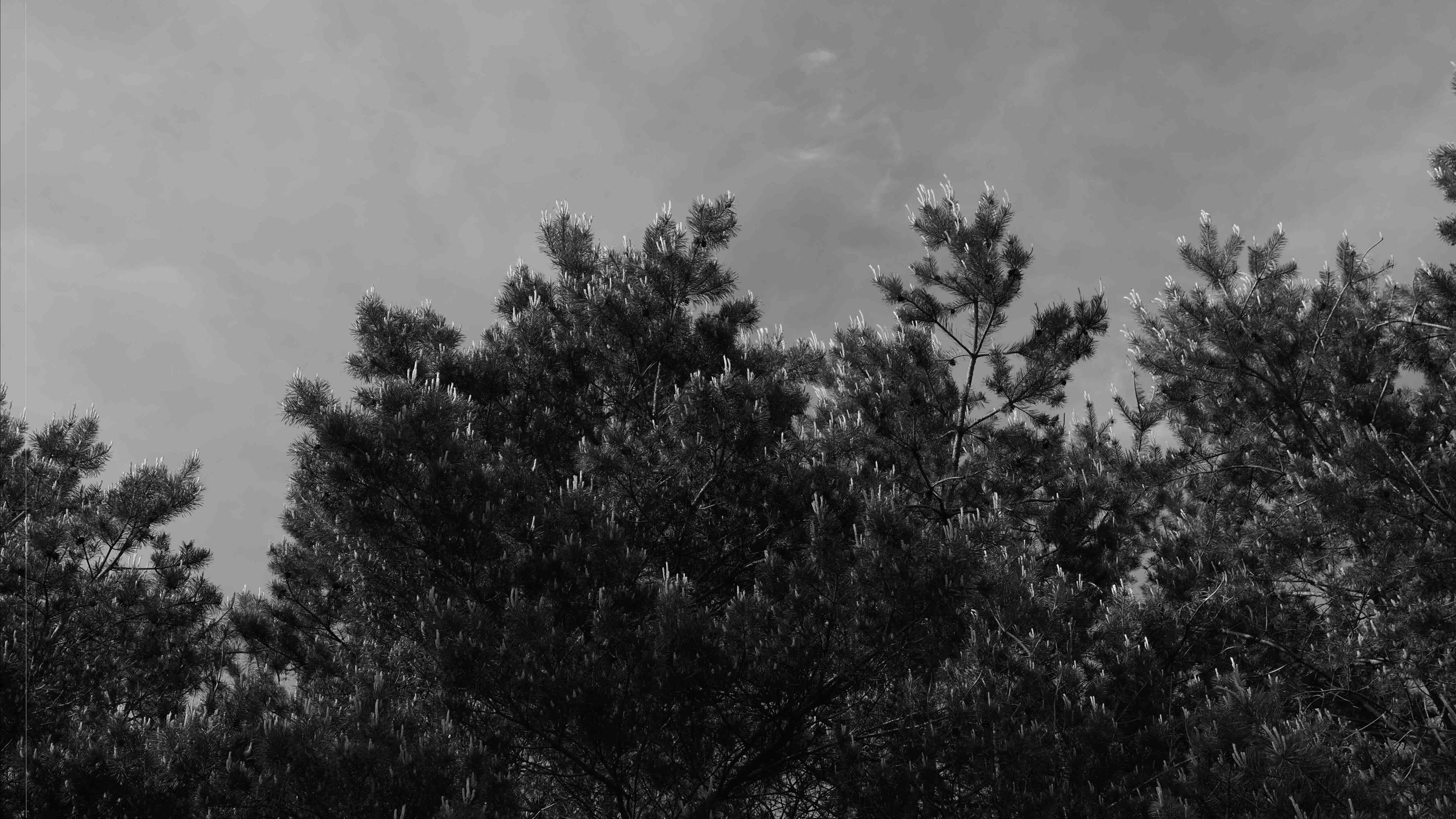
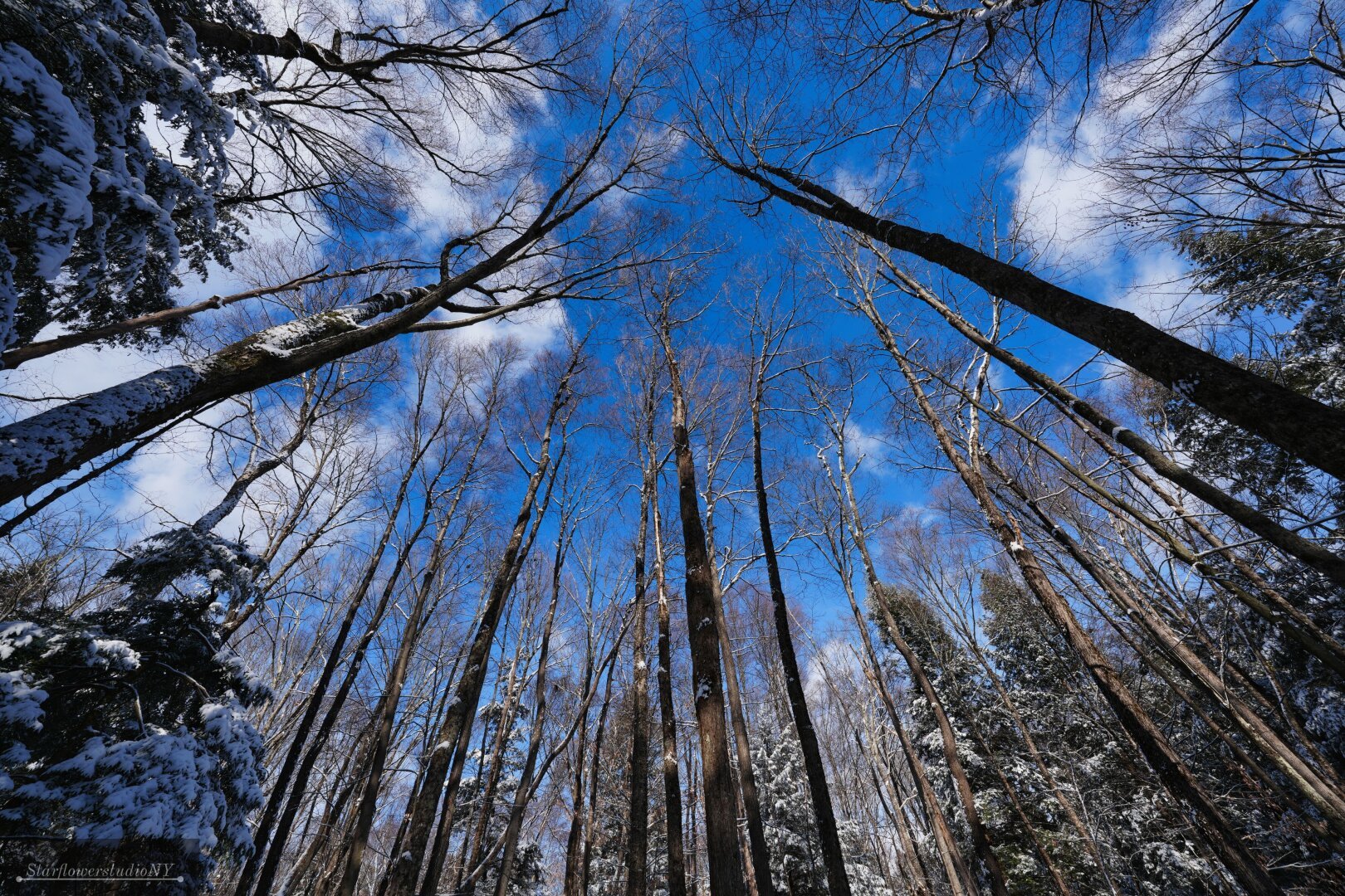
The image shows the tops of trees, likely pine trees, against a cloudy sky. The photo is in black and white, giving it a classic or artistic feel.
#SkyAndTrees #TreeCanopy #Monochrome #PineTrees #SereneNature #NaturePhotography #BlackAndWhite #OutdoorPhotography #NatureLovers #PeacefulMoments
Rope bridge in the canopy
Zoo de Guadeloupe au Parc des Mamelles
June 2023
📷 Sony DSC-RX100M3
#photography #photographie #guadeloupe #antilles #westindies #carribean #treecanopy #canopy #tropicalforest #tropicalforests #travel #travelphotography #bridge #ropebridge #zoodeguadeloupe #nature #naturephotography #darktable
Zoo de Guadeloupe au Parc des Mamelles
June 2023
📷 Sony DSC-RX100M3
#photography #photographie #guadeloupe #antilles #westindies #carribean #treecanopy #canopy #tropicalforest #tropicalforests #travel #travelphotography #bridge #ropebridge #zoodeguadeloupe #nature #naturephotography #darktable
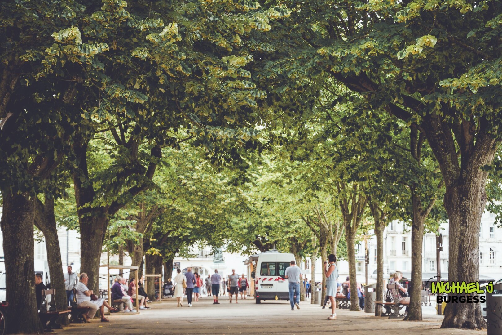
This picturesque promenade in La Rochelle offers a serene escape under a lush canopy of trees. Locals and tourists enjoy relaxation and social interaction in this harmonious blend of greenery and city life.
Buy This: https://www.beitmenotyou.online/images/021785564-la-rochelle-15
#LaRochelle #UrbanNature #TreeCanopy #RelaxingSpaces #TravelMoments #FrenchCharm #SerenityInTheCity #Wanderlust
Buy This: https://www.beitmenotyou.online/images/021785564-la-rochelle-15
#LaRochelle #UrbanNature #TreeCanopy #RelaxingSpaces #TravelMoments #FrenchCharm #SerenityInTheCity #Wanderlust
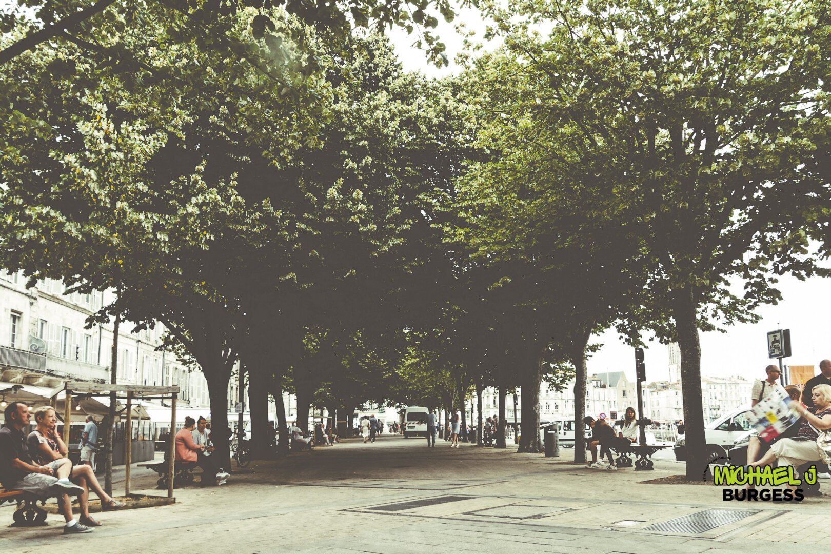
This tranquil photo captures the vibrant life along a shaded promenade in La Rochelle. Locals and tourists enjoy the refreshing greenery, mingling under a canopy of lush trees that offers a cool escape on a sunny day.
Buy This: https://www.beitmenotyou.online/images/021785572-la-rochelle-14
#LaRochelle #StreetPhotography #NatureInTheCity #Relaxation #TravelPhotography #UrbanOasis #TreeCanopy #FrenchCharm
Buy This: https://www.beitmenotyou.online/images/021785572-la-rochelle-14
#LaRochelle #StreetPhotography #NatureInTheCity #Relaxation #TravelPhotography #UrbanOasis #TreeCanopy #FrenchCharm
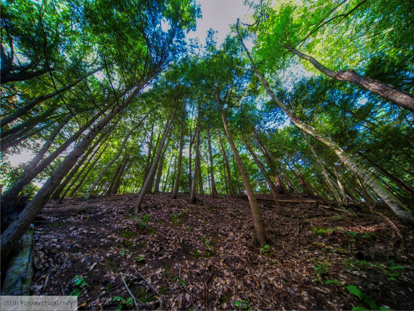
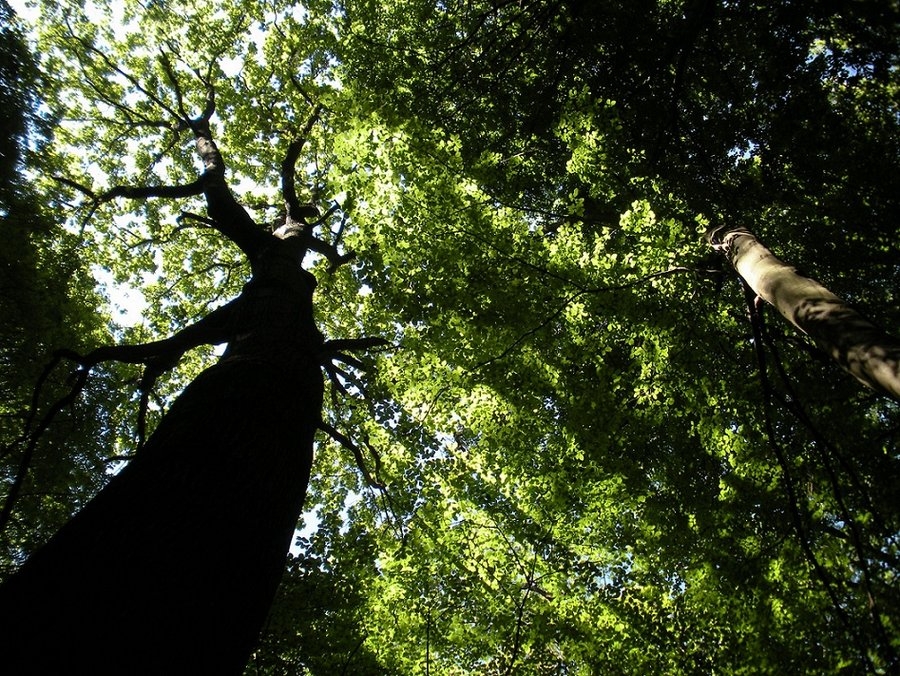
This image captures the serenity of nature from a unique perspective under a tree. The intricate details of the bark and the soft play of light through the leaves evoke a sense of calm and connection with the natural world.
Buy This: https://www.beitmenotyou.online/images/021785570-la-rochelle-8
#NaturePhotography #TreeCanopy #UnderTheTree #LushGreenery #SereneNature #ForestVibes #CloseToNature #OutdoorBeauty #PeacefulMoments #TreeLovers
Buy This: https://www.beitmenotyou.online/images/021785570-la-rochelle-8
#NaturePhotography #TreeCanopy #UnderTheTree #LushGreenery #SereneNature #ForestVibes #CloseToNature #OutdoorBeauty #PeacefulMoments #TreeLovers

Important public health program to increase tree canopy through developing landscaping jobs and careers, funded by Infrastructure Bill (gleanings from Green New Deal). Reworking of 2011 program to create south Phœnix landscape climate modifications by 2030, abandoned due to lack of funding support.
#ClimateAction #InfrastructureBill #landscape #TreeCanopy
University of Manitoba: FAUM researchers release new open data sets for data-driven urban design. “The Future Elements Studio, led by Dr. Yuhao Lu at the Faculty of Architecture, has released two new open data sets as part of its ongoing efforts to advance urban digital twin models for Canadian communities. Beginning with the City of Winnipeg, these datasets serve as data-rich and […]
Client Info
Server: https://mastodon.social
Version: 2025.04
Repository: https://github.com/cyevgeniy/lmst