Evacuation for a wildfire near Lone Pine, California issued about an hour ago.
"Evacuation Warning in place due to a rapidly growing wildfire in the area. An Evacuation Center has been established at Statham Hall, 138 N Jackson St, Lone Pine, CA."
Evacuation for a wildfire near Lone Pine, California issued about an hour ago.
"Evacuation Warning in place due to a rapidly growing wildfire in the area. An Evacuation Center has been established at Statham Hall, 138 N Jackson St, Lone Pine, CA."


CPH Daily Bulletin 10/19/2025
The little-known groundwater #LosAngeles pumps in the #OwensValley, and the tribes who want it back
https://www.latimes.com/environment/story/2025-10-18/owens-valley-tribes-water
#Water #California #LADWP #BishopPaiute #LonePine #WaterRights
Mount Whitney in and out of the clouds today. Learn more at https://www.nps.gov/seki/planyourvisit/whitney.htm and https://www.fs.usda.gov/r05/inyo/recreation/trails/mt-whitney-trail and https://www.mountwhitneyforum.com/ and #interpretation #nps #nationalparks #publiclands #landscapephotography #photography #nationalforest Image credit Mt. Whitney Portal Hotel, Hostel, and Store #usfs #forestservice #sequoia #inyo #nationalpark #trail #mountain #mtwhitney #clouds #lonepine


Cloud formation looking North near Lone Pine, California. April 2021 #clouds #lonepine #nature #nikon #photography


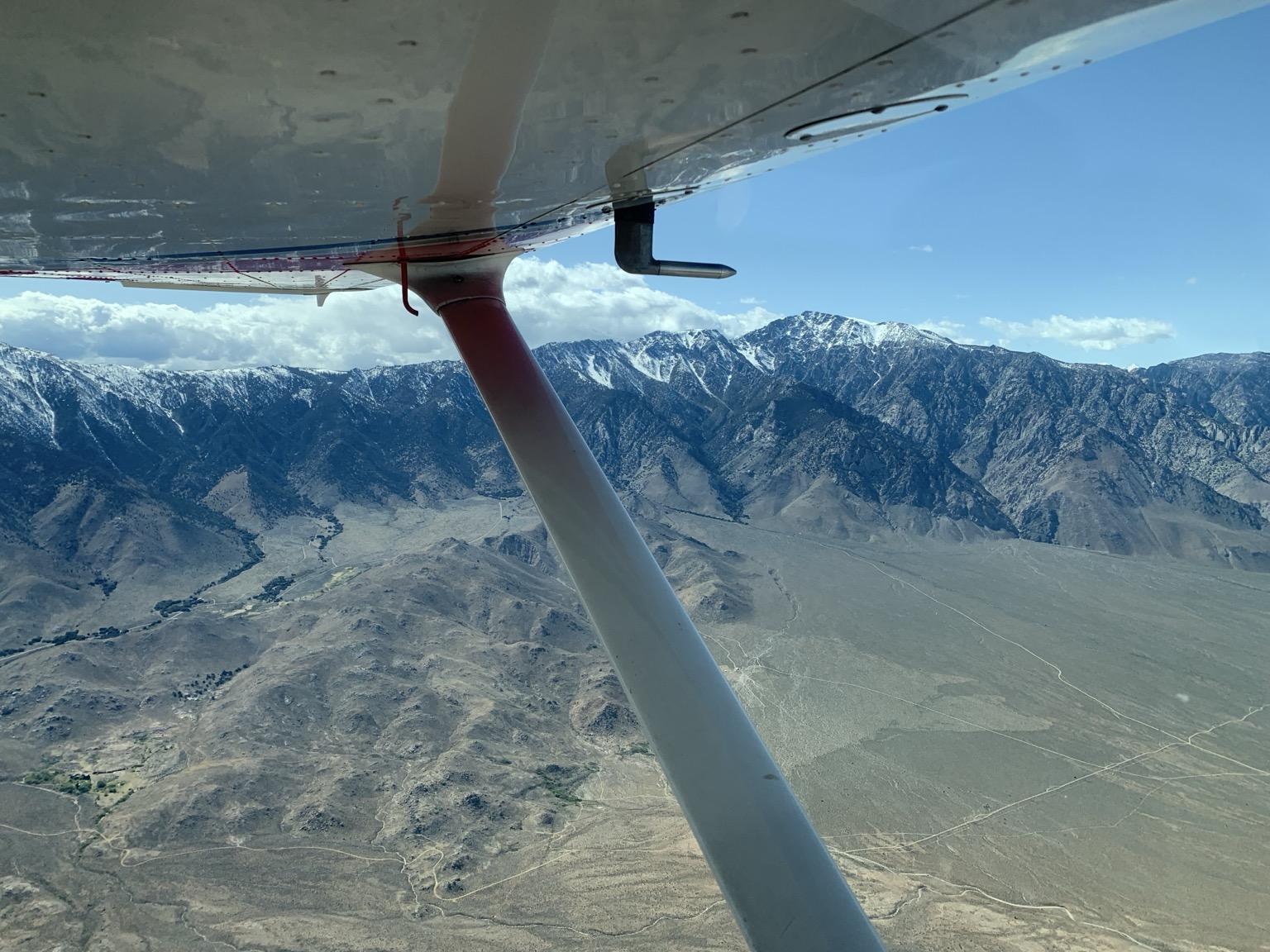
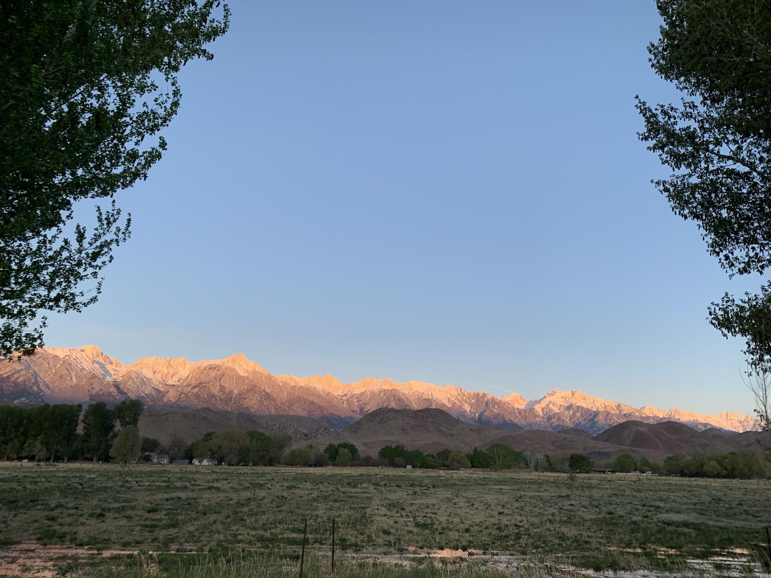
Three months after the fires, I finally took a break from work, disaster management, and re-establishing domestic infrastructure. I flew up the Owens Valley to Lone Pine, and and spent last weekend walking in the desert, biking in the foothills, and gazing at the stars.
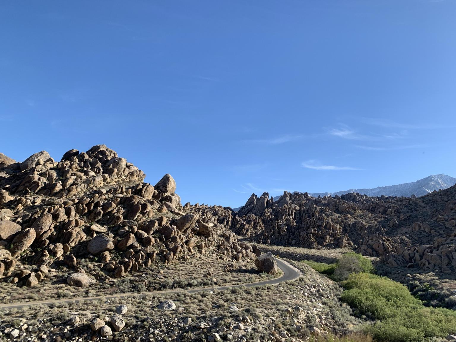
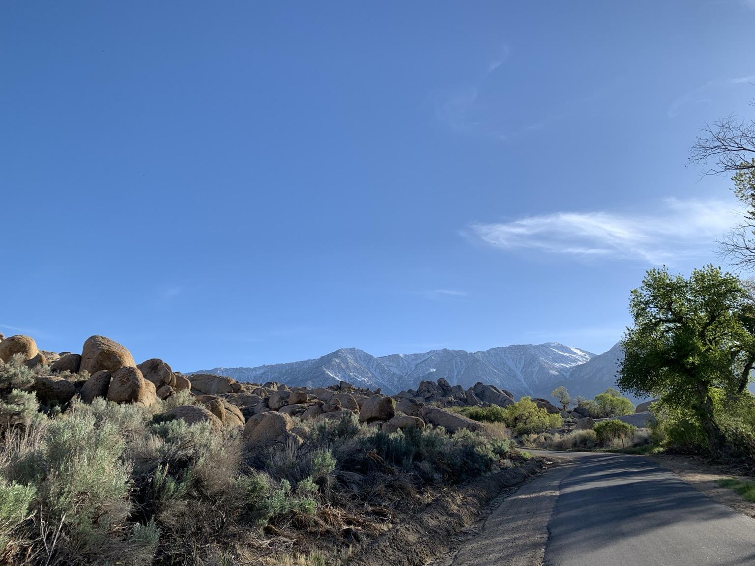

Weather in the west: Alabama Hills Image credit ALERT California, UC San Diego, and CAL FIRE. Learn more at https://alertcalifornia.org/ and #interpretation #publiclands #photography #landscapephotography #winter #clouds #ucsd #calfire #newtopographics #alertcalifornia #hills #mountain #valley #forest #lonepine #infrastructure #privacypixelation
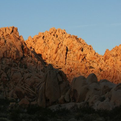
Who says there isn’t gold in these hills? #staygold #photography #photo #landscape #nature #landscapephotography #fall #trees #mountains #california #art #fallcolors #silentsunday #gold #alabamahills #lonepine #lonepinepeak #mtwhitney

Eastern Sierras
Living in California kind of spoils a person to all of the beauty that surrounds them. Hwy 395 down the backside of the Sierra Nevada Range is one of those drives that everyone should take at least once in their lives.
Hwy. 395 to me is the backbone of California even though it dips in and out of Nevada to get around Lake Tahoe.
This image was captured just outside of Lone Pine. https://pixels.com/featured/eastern-sierras-bill-gallagher.html
#EasternSierras #BillGallagherPhotography #BuyIntoArt #AYearForArt #LonePine
The snow capped Eastern Sierra range from the White Mountains. #landscape #nature #easternsierra #mountains #owensvalley #lonepine #independence #bigpine #bishop #whitemountains
Spoke to Me - I was at Milford beach on a rainy day and looked up at the lone pine. A beautiful older tree that just spoke to me.
https://renata-natale.pixels.com/featured/spoke-to-me-renata-natale.html
#lonepine #trees #rain #buyintoart #Photography #fotographie #landscape