NOAA Digital Coast – Data Access Viewer [USA]
--
https://coast.noaa.gov/digitalcoast/tools/dav.html <-- shared link to viewer
--
[lots of new data added in the last 6 months]
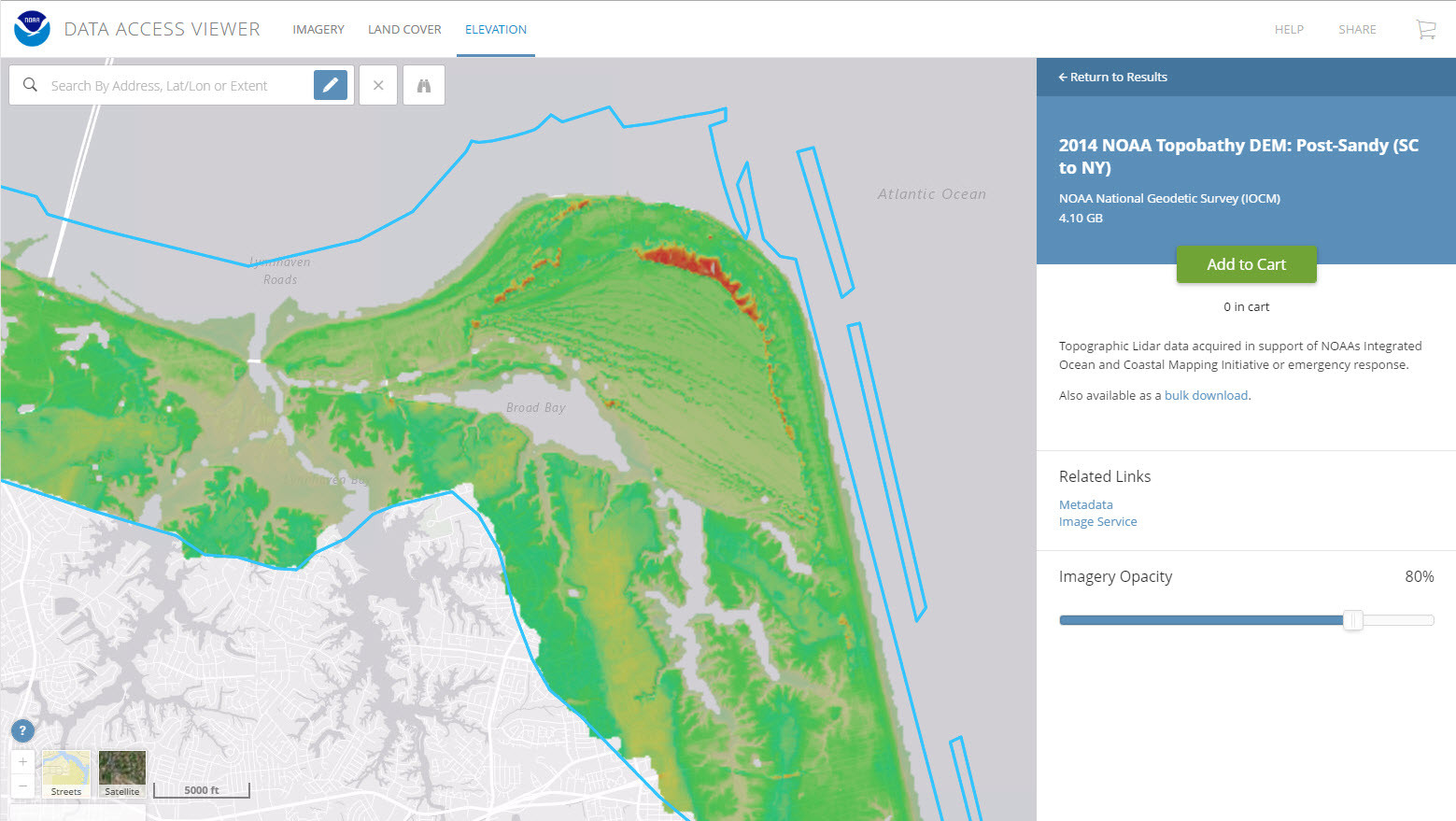
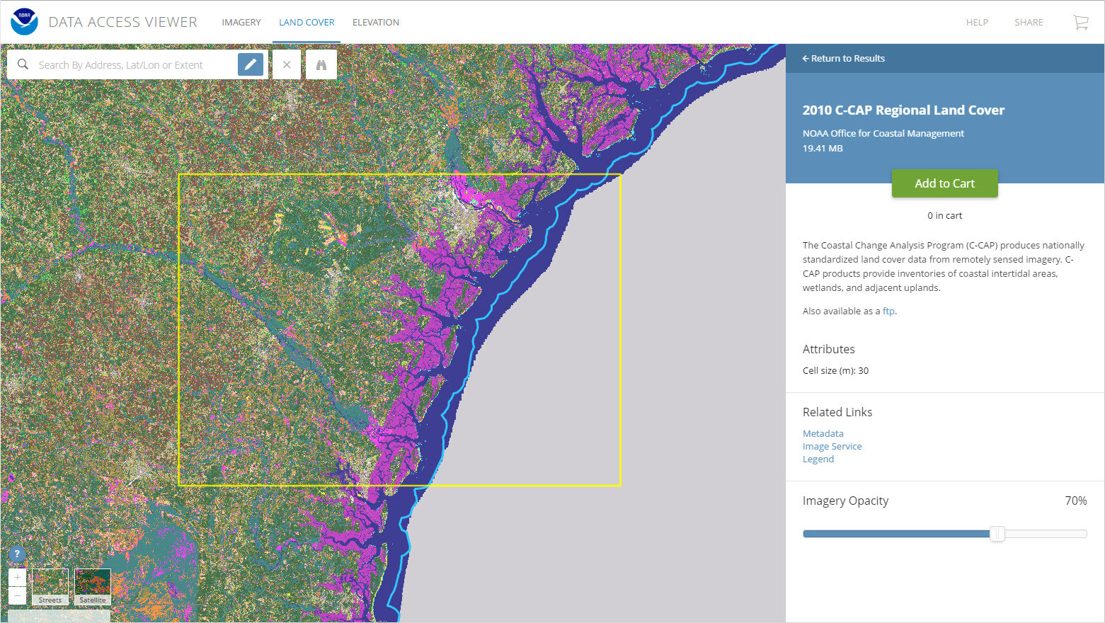
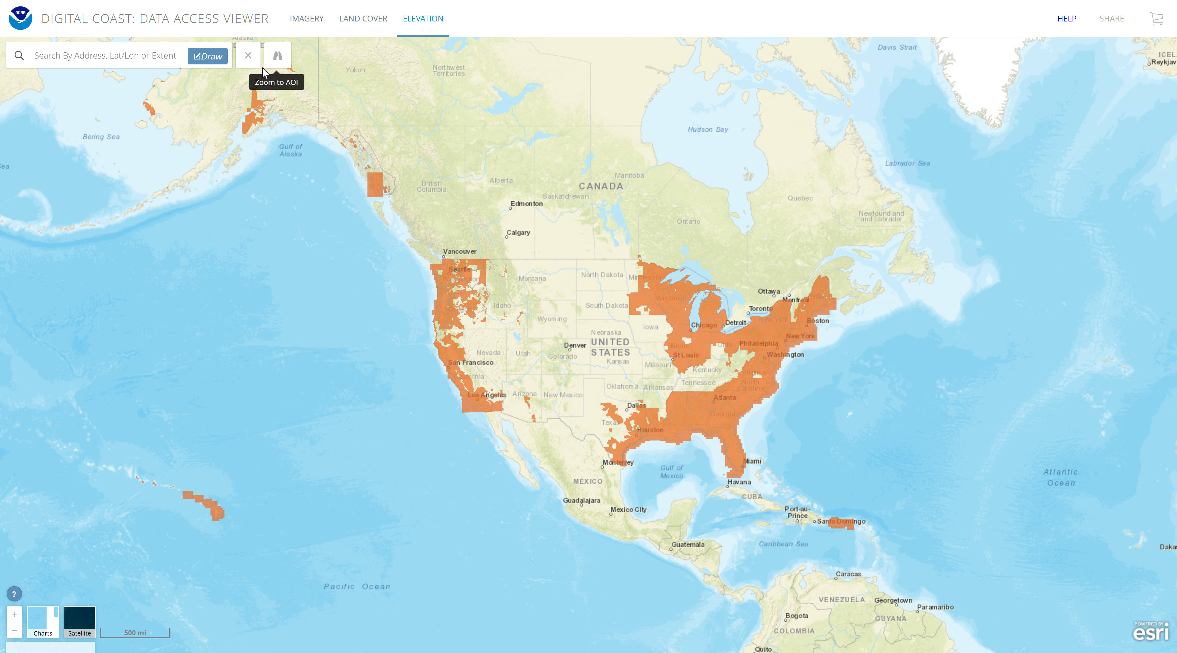
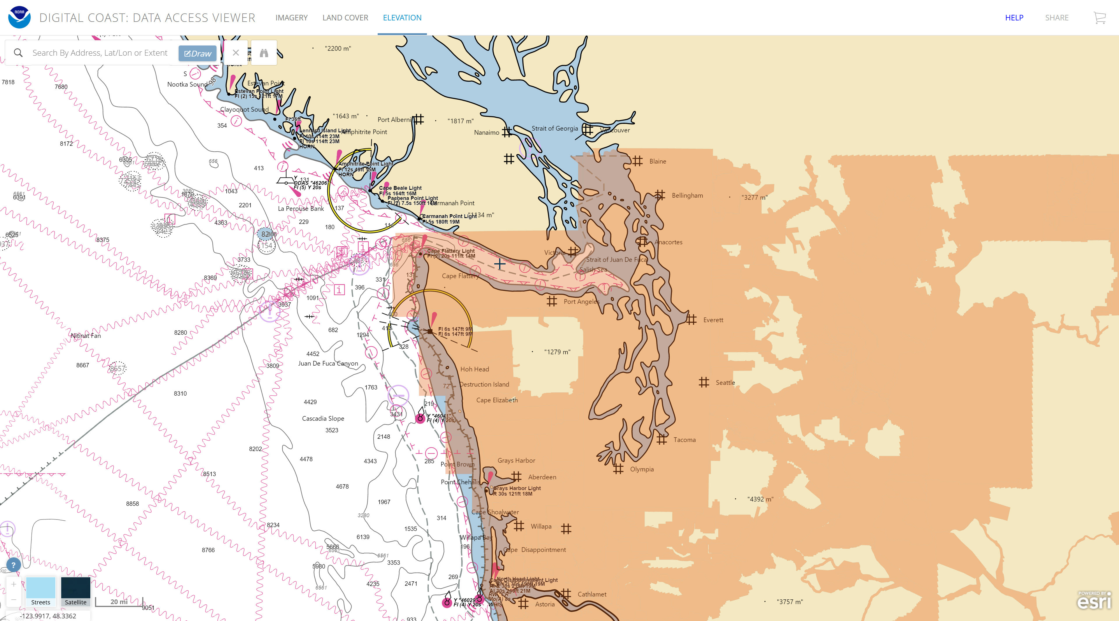
“This online tool allows a user to search for and download lidar, imagery, and land cover data by user-defined geography. Once found, the data can be downloaded with an easy-to-use checkout interface. Users can select from multiple file formats, projections, and datums.
Features:
• View image services for applicable data
• View technical specifications and metadata for each data set
• Access data in several projections and datums…”
#GIS #spatial #mapping #spatialdata #opendata #LiDAR #imagery #NOAA #digitalcoast #USA #DataAccessViewer #landcover #topobathy #topography #bathymetry #charts #coast #coastal #CoastalChangeAnalysisProgram #CCAP #NLCD
@NOAA
#CCAP
Client Info
Server: https://mastodon.social
Version: 2025.04
Repository: https://github.com/cyevgeniy/lmst