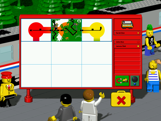
When a player right-clicks on a tunnel a window shows the overall look of each player's map and how they are connected. It also shows the location for players' trains.
When this view is opened there are two 14 and 24-byte messages that are exchanged between players every second. One of these clearly contains the coordinates for trains. I only did a cursory analysis of it though to verify the hypothesis.
One interesting thing I found is that the messages sent when the Toybox is closed (that contain map information) don't have information on the exact map elements as I thought before.
I tried placing different elements on the map to get a notion of their codes and found out only four below values (this wasn't an exhaustive test though).
From what I could understand each byte is just transmitting which colour should be shown on the map overview for each tile of the map. I've found the following approximate meanings for each.
0x02: nature (green)
0x03: buildings (brown)
0x05: track (black)
0x07: pavements (grey)
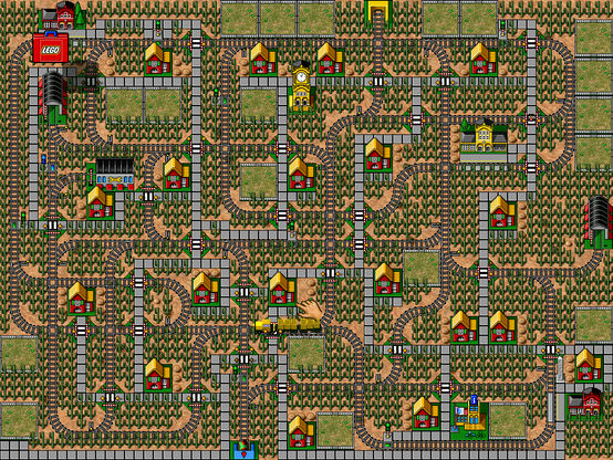
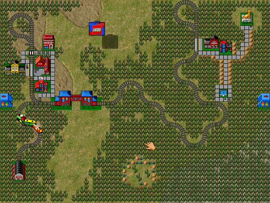
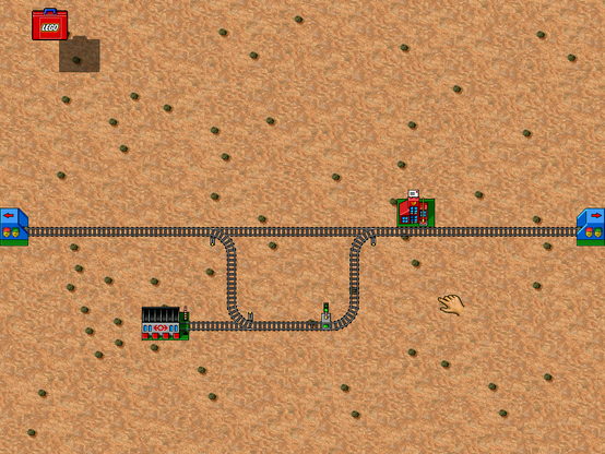
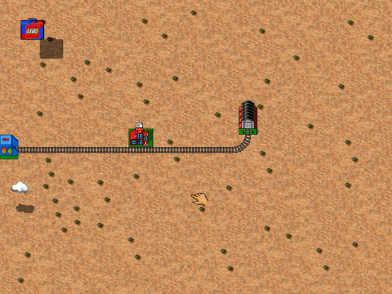
The images below show a screenshot of a map (from one LEGO LOCO's presets, which brings memories) and its representation when right-clicking a blue tunnel.
#games #pcgaming #trains #LEGO
