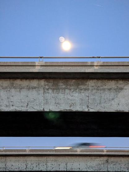
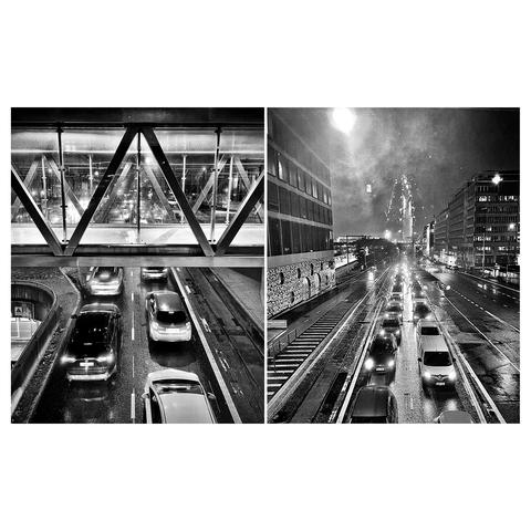
#overpass

Spaceflight 🚀spaceflight@spacey.space
2025-05-19

Created a #spaceport 🚀 map based on #OpenStreetMap data umap.openstreetmap.de/en/map/s. Zoom in and click the boundary (not the label) to see the details.

You may also create your own 🗺️ using an #overpass export and umap.openstreetmap.de/en

#SpaceTourism #map

2025-05-07

Gestern herausgefunden das #nominatim gar nicht das ist, was ich brauche, sondern #overpass-api na dann bauen wir das doch mal auf. Mal sehen wie lange es dauert.
#openstreetmap

Das ist heute sicher der 50. #Hydrant, den ich in die #OpenStreetMap eintrage...

Man kann doch sicher eine #Overpass Query bauen, die alle Hydranten in Augsburg auflistet, die ich gemappt habe, oder?

Muss ich definitiv mal machen!

Hand mit bunten Fingernägeln auf einem Hydrantenschild
fyre_festivalsfyre_festivals
2025-05-02

New Artist announced for Into The Great Wide Open Festival 2025: 🔥 Overpass 🔥

🎶 Listen to the current LineUp on YouTube and Spotify: fyrefestivals.co
🎟️ Get your Tickets now: prf.hn/l/EJnYMdO

2025-04-30

Today I learned that you can export CSV directly from Overpass, *and* you can query features that are within a given polygon relation (not just bounding box).

So my multi-step process to extract cities in Austria from OSM just got reduced to a single #Overpass query 🎉

#OpenStreetMap

Screenshot of the Overpass API query I am using to extract cities in Austria.
Christian Quest 🌍cquest@amicale.net
2025-04-19

Vive les écosystèmes libres et ouverts !

@MapComplete permet de relier @osm_fr et @panoramax très facilement.

On sélectionne un objet présent dans #OpenStreetMap qu'on peut compléter entre autre en lui ajoutant une photo.

Cette photo est partagée directement sur #Panoramax et un tag panoramax=* est ajouté sur l'objet OSM pour faire le lien.

La carte ci-dessous est faite sur @umap et utilise #Overpass pour afficher les objets OSM avec leur photo associée. #NoCode

umap.openstreetmap.fr/fr/map/p

Copie d'écran montrant un fond de carte OpenStreetMap et une série de marqueurs dont l'un affiche la photo d'un commerce de fleurs.
2025-04-18

By popular demand, here's a map showing the Netto Marken-Discount / Netto distribution within Germany.

#OSM #OpenStreetMap #Overpass #OverpassTurbo #OverpassUltra

Outline of Germany with blue dots for Netto and red dots for Netto Marken-Discount. Most of the blue dots are in former East Germany.
2025-04-18

Was bored on my way to #eh22 and made a map showing the ALDI Nord / ALDI Süd distribution within Germany using Overpass-Ultra and #OpenStreetMap data.

#OSM #Overpass #OverpassTurbo #OverpassUltra

Outline of Germany with blue dots for ALDI Nord stores in the north and red dots for ALDI Süd stores in the south, resulting a clearly visible border line between them.
2025-04-08

This uses #TurfJs polygon length function to calculate its circumference. The underlying sorting of the coordinates uses polar coordinates, since that is how they are being randomly generated. By first sorting over the degrees and the distances.

For most instances this is a pretty good estimate, though in some case a self-intersecting polygon can be created, which hints that there is a more optimized polygon.

Further this problem is a typical 'travelling salesman problem' which can be solved via various algorithms.

Though before considering such optimization issues, there is the main question if the randomly generated POI is even accessible to the public.

In the case one is a pedestrian, one could use #overpass to gather information if any #OpenStreetMap highways exist in the proximity to the POI and then find the one that is the closest and permissive to pedestrians. Then move the POI to that location.

This example only works if there is enough #OSM data at the location.

#mathematics #maths

Rihards Olupsrichlv
2025-04-03

What am I doing wrong, how could this be fixed?

pvergain (framapiaf)pvergain@framapiaf.org
2025-03-29

- pad.chapril.org/p/iuga-umap
------------------<----------------
Cours de Jean-Christophe Becquet apitux.com sur #uMap

- construire des cartes interactives avec uMap
- illustrer avec des photos sous licence libre depuis Wikimedia Commons ou #Panoramax
- réutiliser des jeux de données #opendata de Ville de #Grenoble
- calculer des itinéraires avec #BRouter
- géocoder une extraction de la base Sirene avec Addok
- extraire des données OSM avec #GeoDataMine ou #Overpass

geoObservergeoObserver
2025-03-27

goes mit frederik ram ⁦‪@geofabrik‬⁩

2025-03-20

Got The Reach (t)

Clem could really handle a spray can. The best part is being 16 feet tall he doesn't have to hang off structures to paint. Sometimes, it pays to be Sasquatch! Of course, he knows better than to paint on those rare hot days because he leaves footprints in the road and everyone knows what happens then.

Hwy 3 just north of E. Alta Dr., Mason County, Washington 2017
#Got_The_Reach #Hogwash_Book_Twenty_Four #Hwy_3 #overpass #Mason_County #photography
flic.kr/p/21SVL6k

2025-03-17
Under an Overpass
SooC - I am experimenting with a new film sim based on CineStill 400D. It’s not ever going to be exact but I really like the look. It’s built on top of the Astia preset.

Fujifilm X-H1
TtArtisan 50mm Prime f1.2
Tiffen Glimmerglass 1

#photography #architecture #fotografie #photographie #nature #bridge #overpass #fujifilm #filmsim #cinestill400d #tiffen #glimmerglass #concrete #sooc #goldenhour
Underneath an overpass, concrete columns taper away as the golden hour sun rise causes halation on the structure’s surfacesSame area but coming out from underneath the overpass to see woods next to a patch of grass next to the water spillway

Client Info

Server: https://mastodon.social
Version: 2025.04
Repository: https://github.com/cyevgeniy/lmst