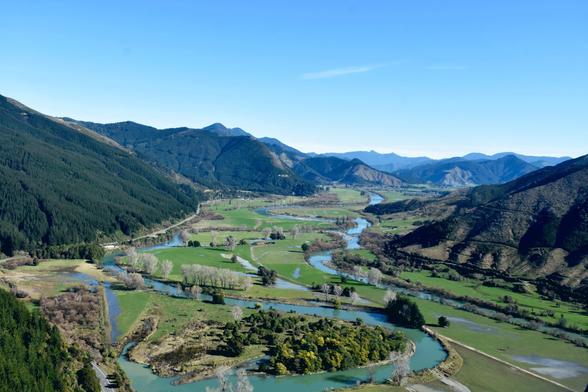
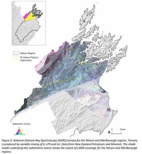
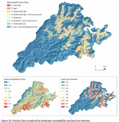
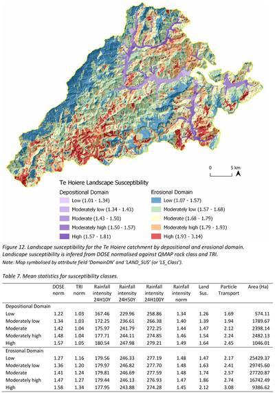
(Radiometric-Derived) Sediment Susceptibility For The Te Hoiere Pelorus Catchment [New Zealand]
--
http://alturl.com/hxbvg <-- shared technical report
--
http://alturl.com/xkgsv <-- shared related technical article
--
[reminded so much of the engineering geology work I did in my thesis in New Zealand]
#GIS #spatial #mapping #remotesensing #AGRS #gammaray #spectroscopy #engineeringgeology #risk #hazard #massmovement #landslide #rainfall #precipitation #watershed #TeHoiere #Pelorus #Catchment #NewZealand #waterquality #waterresources #water #hydrology #geology #soil #regolith #topography #slope #aspect #spatialanalysis #landuse #humanimpacts #masswasting #erosion #sediment #sedimentation #radiometrics #LiDAR #spatialtools
@TeHoiere
#spatialtools
Client Info
Server: https://mastodon.social
Version: 2025.04
Repository: https://github.com/cyevgeniy/lmst


