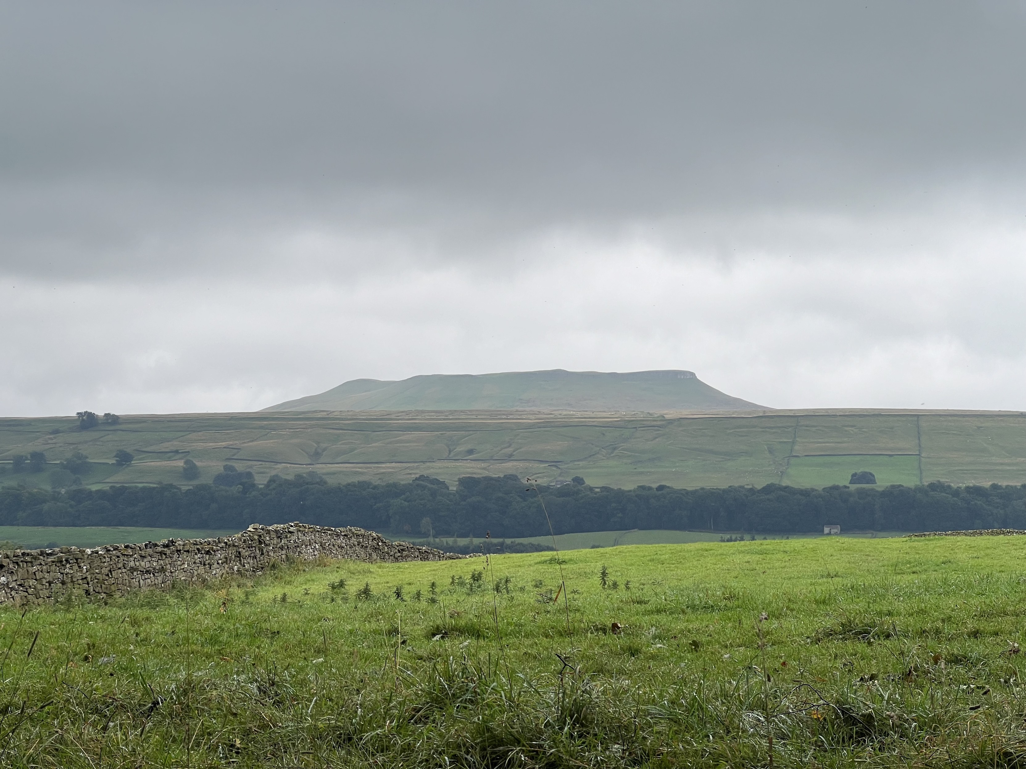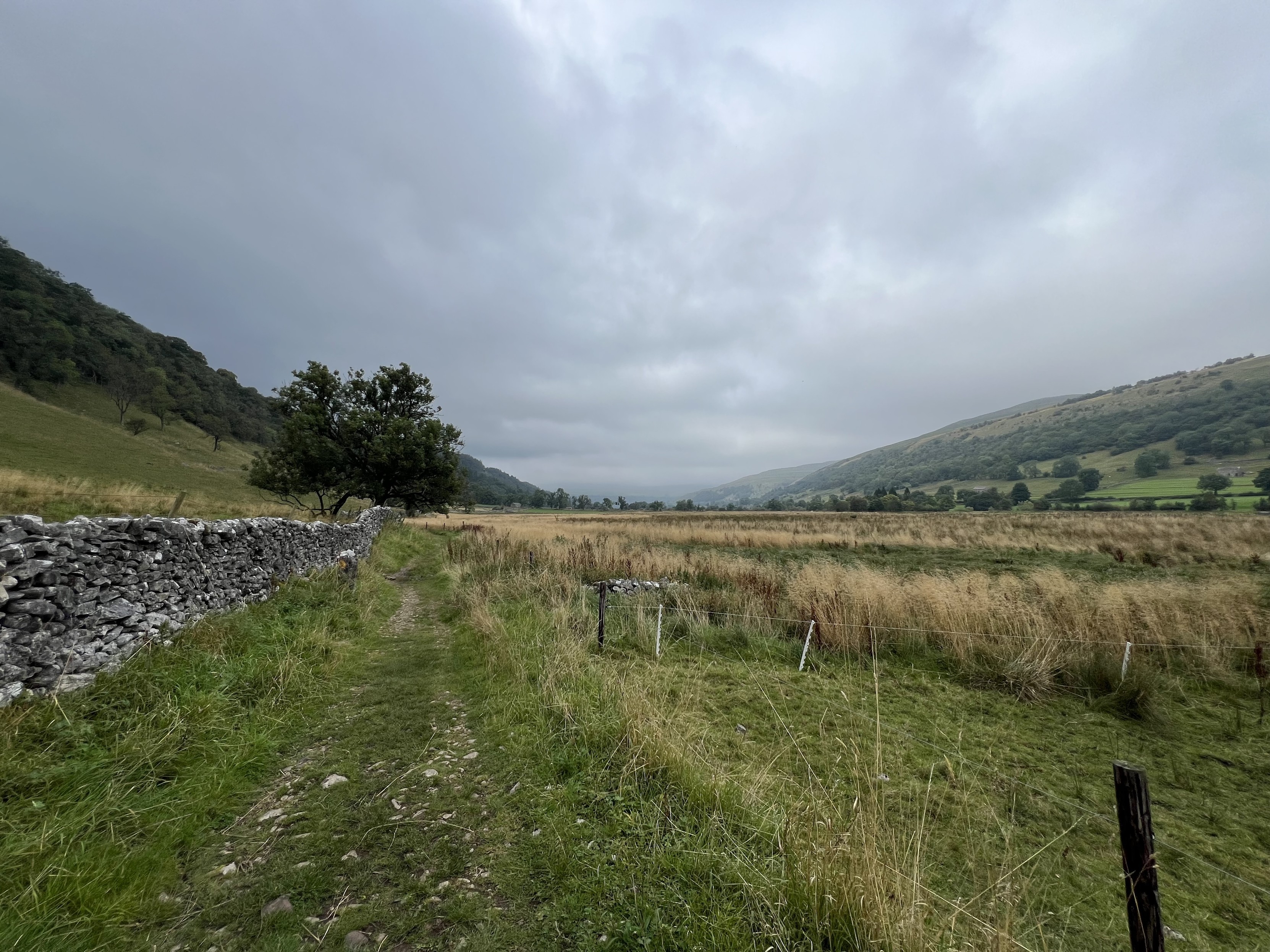
I’ve just plotted my walk electronically for the first time. I noticed I could do it on the Ordinance Survey app I already had for storing electronic versions of the physical maps I own (as you get a digital copy code with OS Maps) & finally got around to trying it.
One of my regular local routes is approx 11.75km/7.3 miles & the other is approx 9.8km/6.1 miles.
Great to finally know. I had taken a pedometer to measured my step count for them before, but this is much more useful. 🚶♂️