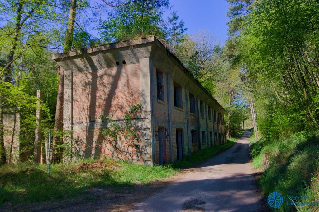
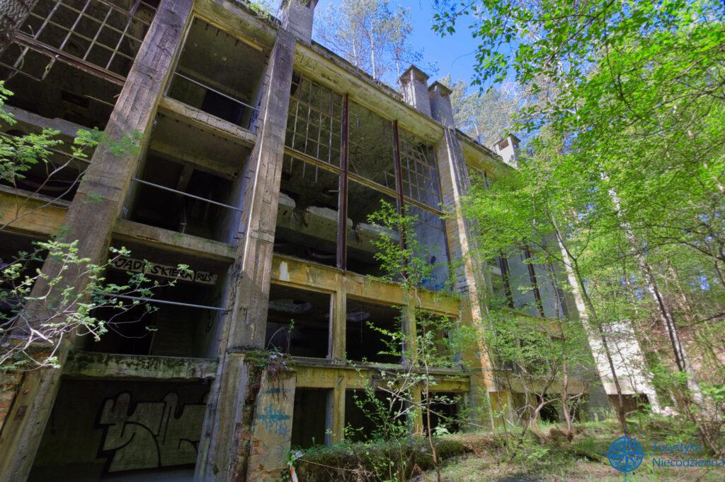
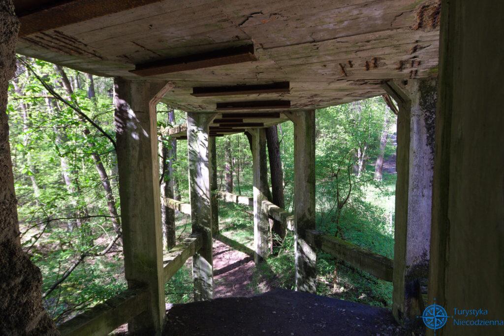
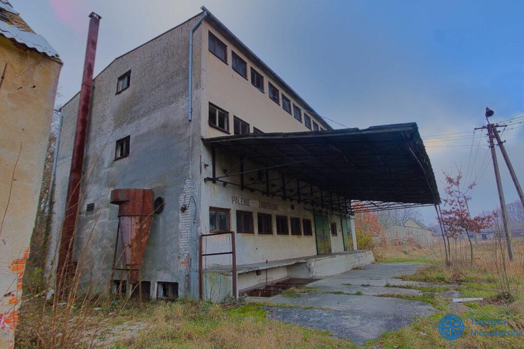
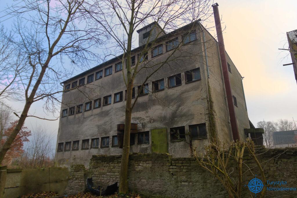
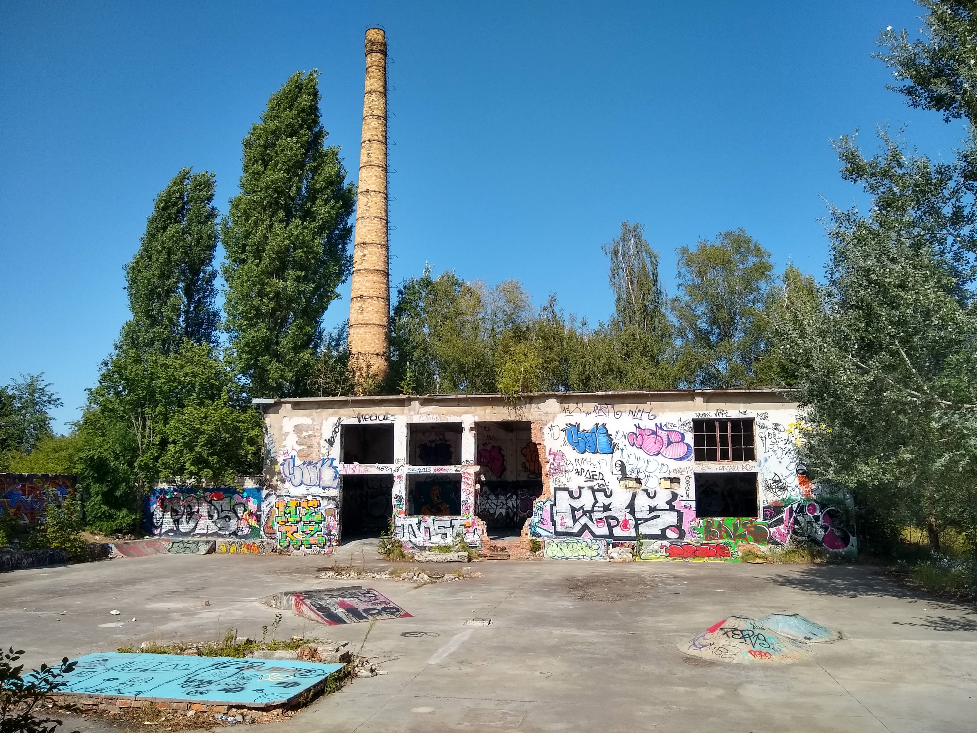
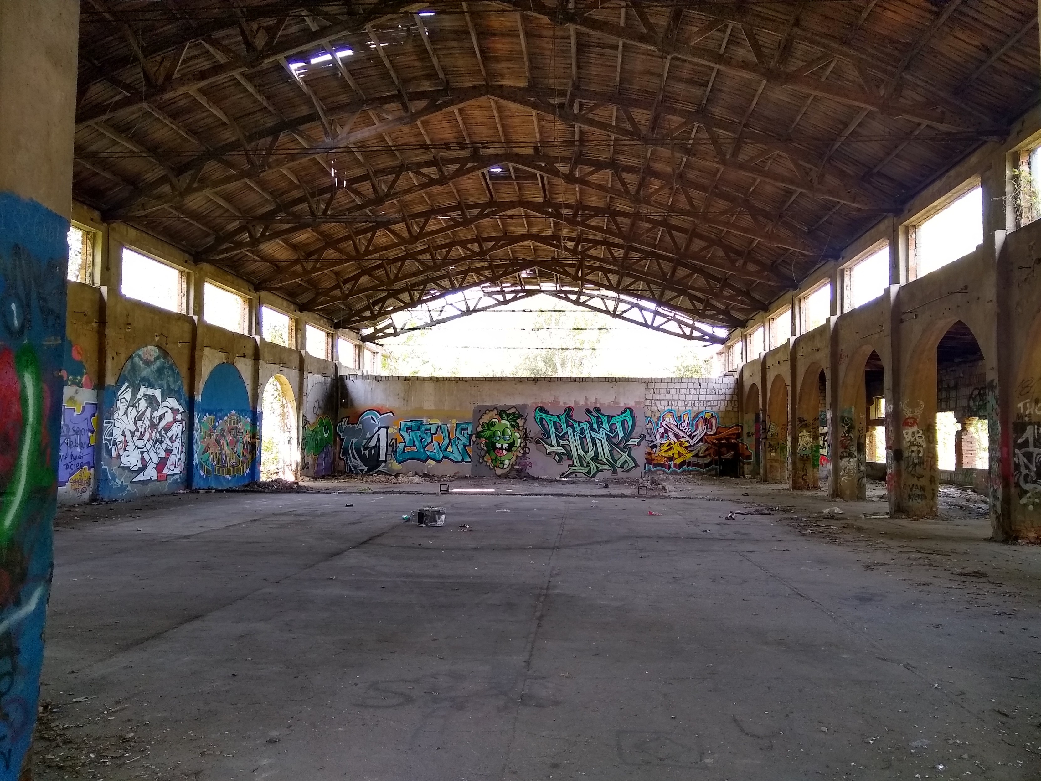
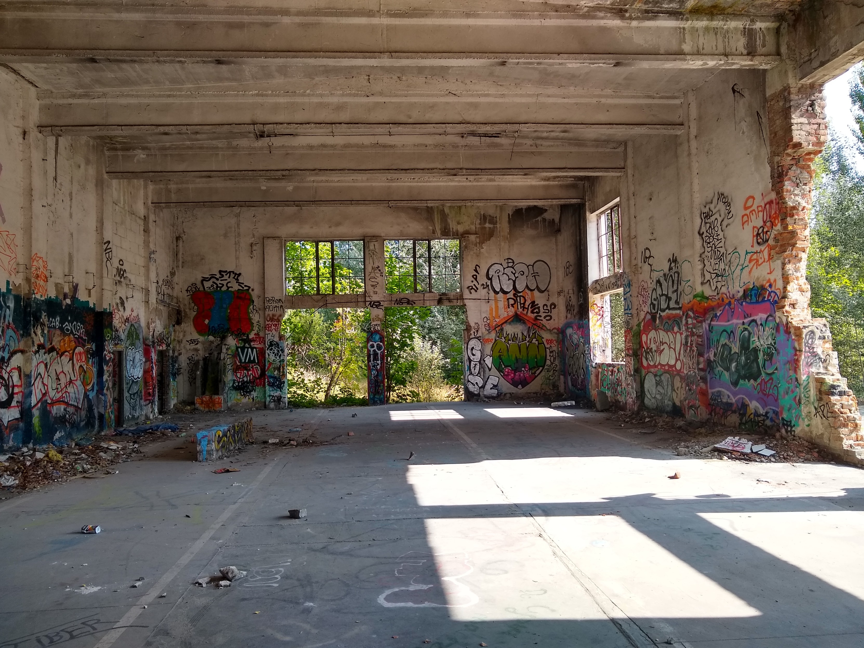
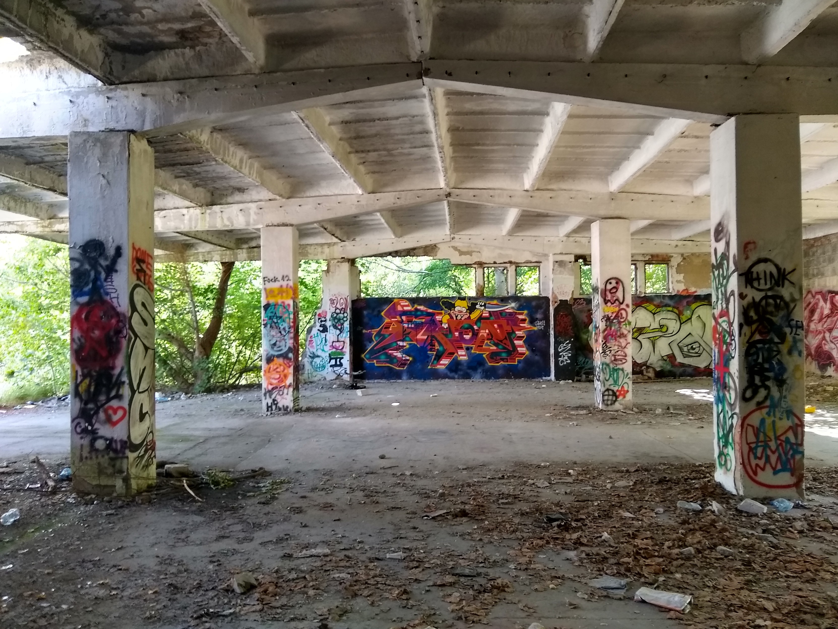
Co by było gdyby tak cofnąć się w czasie? Najpewniej by mnie zaaresztowano, za włażenie na teren ściśle strzeżony. A tak to mogłem bez niczego sobie wejść na teren ówcześnie bardzo silnie chroniony, i jak gdyby nigdy nic porobić sobie zdjęcia. A wszedłem sobie na teren niemieckiej fabryki DAG Fabrik Bromberg, a dokładniej na teren budynku żelatinizacji i znajdującego się nieopodal budynku walców osuszających i magazynu linii 1.
Tajne przez poufne
Jako że zakłady DAG Fabrik Bromberg działały na terenie raczej sobie nieprzychylnym, wprowadzono daleko idące zasady bezpieczeństwa. Każdy pracownik miał przypisany konkretny obszar, w którym mógł się poruszać, a jego dostęp był oznaczony kolorem przepustki.
Tylko nieliczni mieli więcej swobody – byli to głównie pracownicy utrzymania ruchu i listonosze, którzy mogli przemieszczać się między różnymi częściami zakładu.
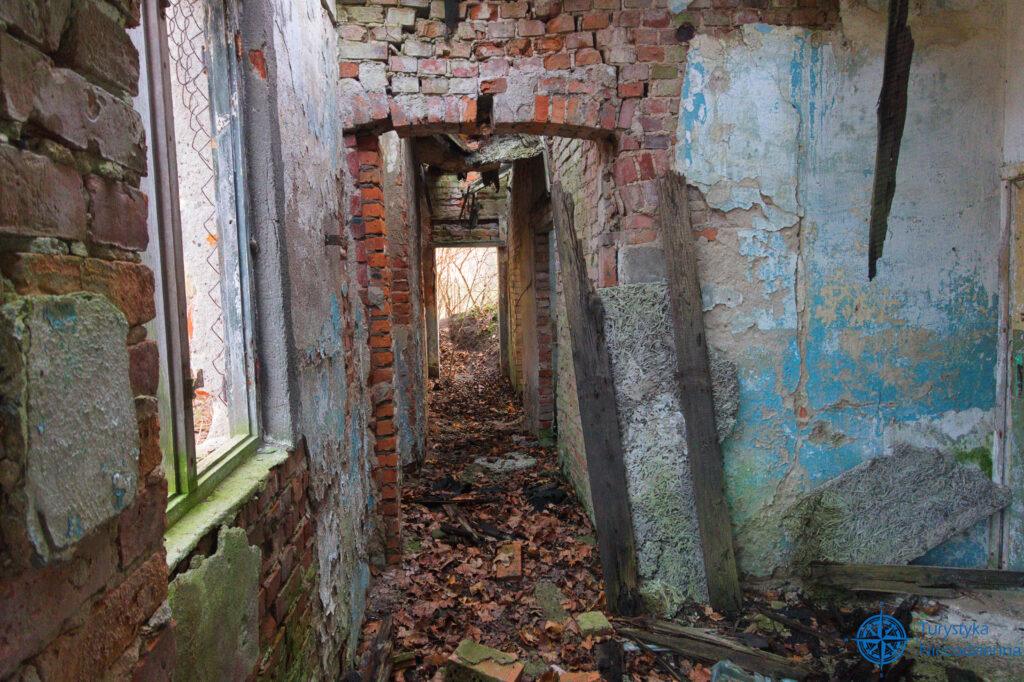
Ciekawą historią podzieliła się kobieta, która kiedyś pracowała w budynku żelatynizacji. Przez lata była przekonana, że ten obiekt składał się zaledwie z dwóch sekcji. Dopiero po wielu latach, odwiedzając dawną fabrykę jako turystka, odkryła, że tych sekcji było znacznie więcej. Świadczy to jak skutecznie działał system ochronny – nawet pracownicy, którzy codziennie przebywali w tym miejscu około 10h nie mieli pełnego obrazu miejsca.
Polskie plany budowy
Zamysł budowy takiej fabryki na podbitych polskich ziemiach kiełkował w Naczelnym Dowództwie Wojskowym Wermachtu już na początku wojny, tzn. we Wrześniu 1939 roku. Lecz Niemcy nie byli pierwsi z takimi planami. W latach 1937-39 polska administracja gospodarcza stwierdziła, że warto by było mieć tajną fabrykę zbrojeniową po Bydgoszczą. Poczęła więc przygotowywać tajne projekty tejże fabryki zbrojeniowej na obszarze puszczy Bydgoskiej. Nie ma dowodów, że niemiecki wywiad przechwycił te plany, ale teoria ta jakby nie patrzeć niepozbawiona jest racji.
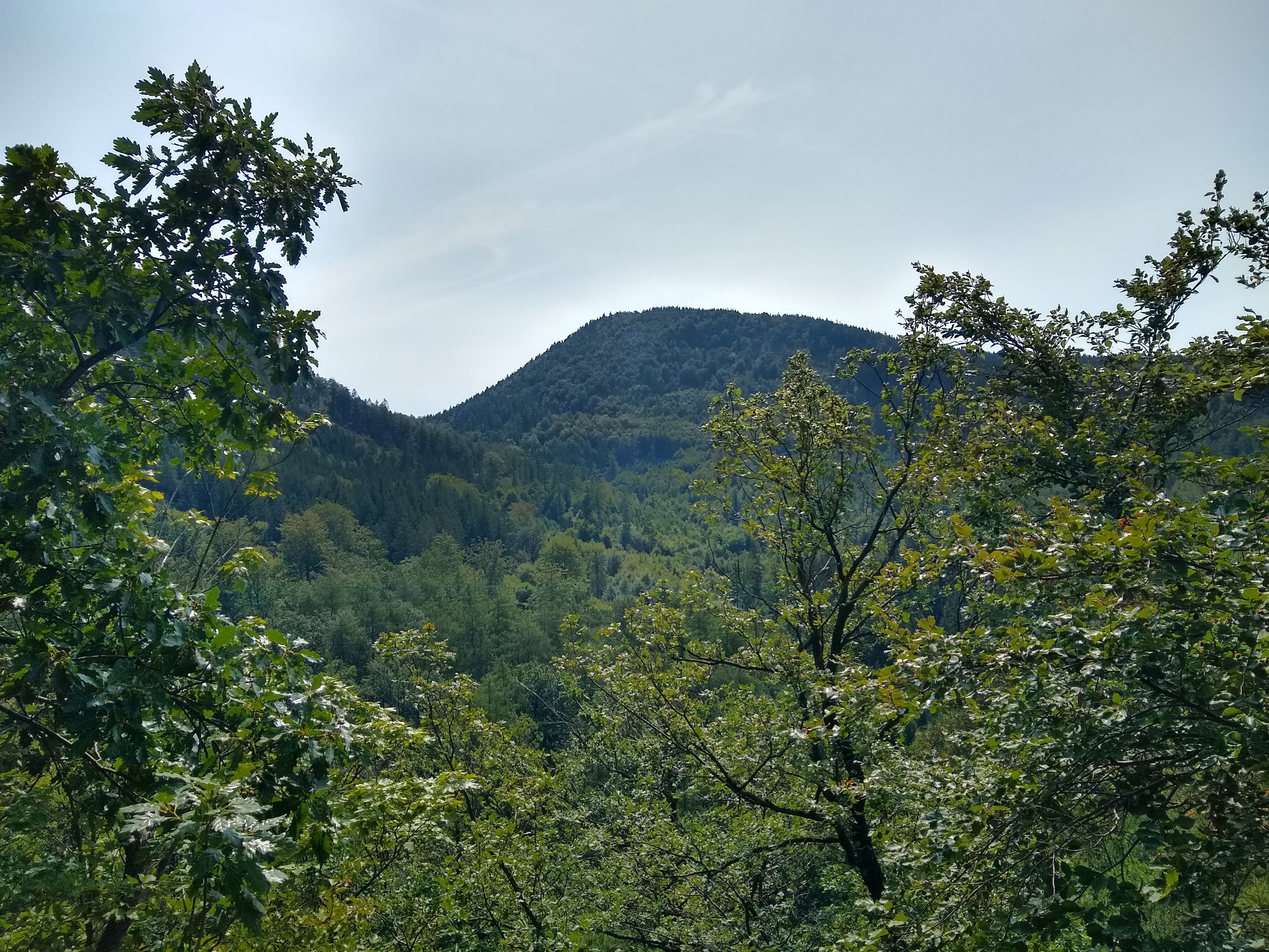
Niemcy przed budową przeanalizowali jeszcze dwie lokalizacje, kolejno: okolice Gorzowa i Poznania. Bydgoszcz wygrała z uwagi na doskonałe maskowanie, czyli całkiem sporych rozmiarów puszczę, bliskość Wisły a co za tym idzie dostępność wody, a także łatwość transportu za sprawą magistrali węglowej Śląsk-Gdynia.
Początek prac
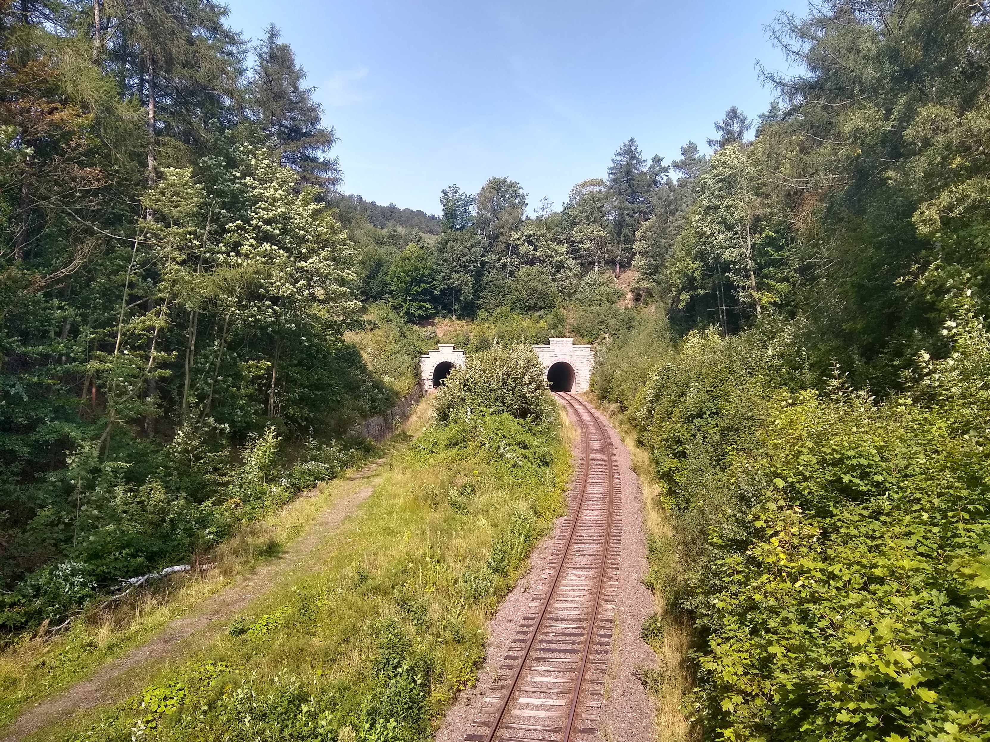
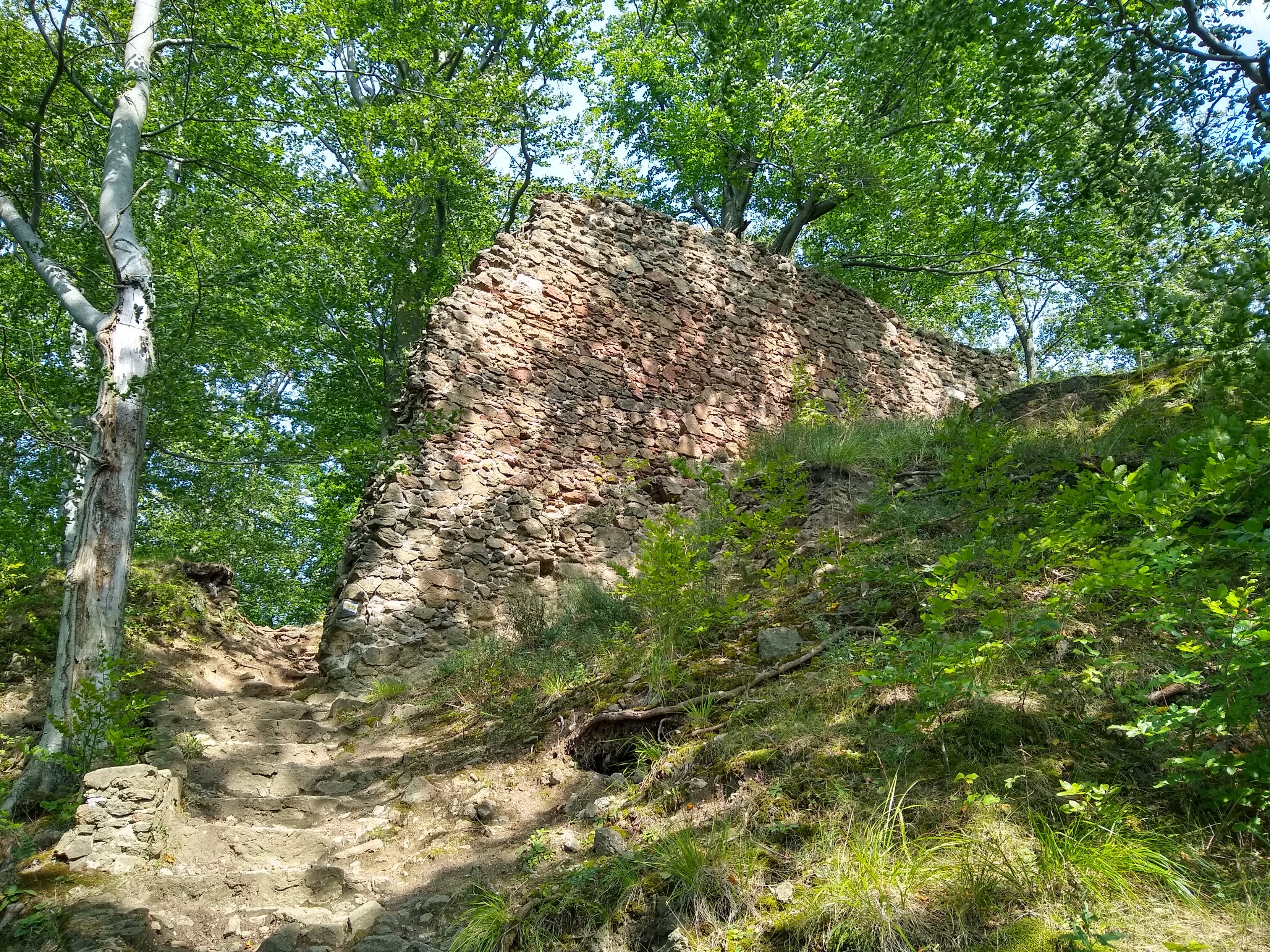
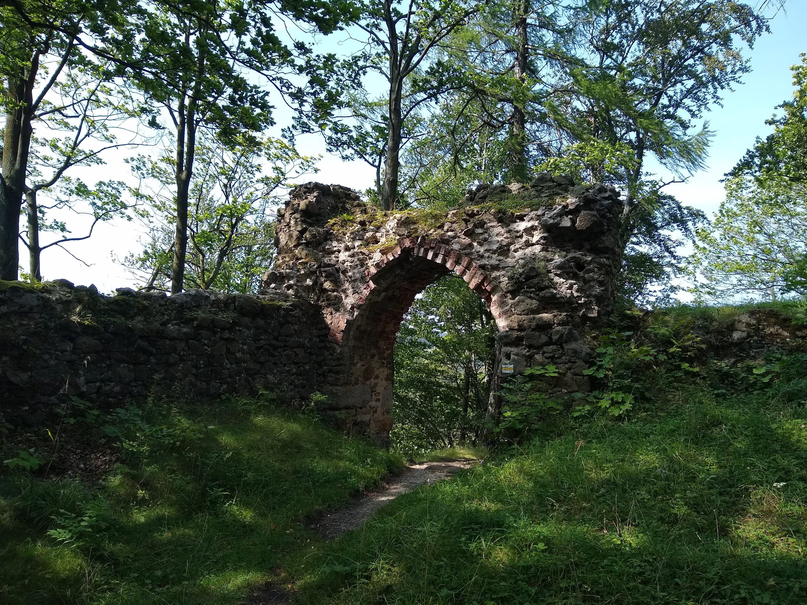
Wkrótce po zajęciu przez niemców miasta, do lasu blisko podmiejskiego Łęgnowa weszła ekipa budowlana i poczęła prace miernicze i przygotowawcze. Dwa miesiące później rozpoczęto budowę 35-kilometrowego ogrodzenia, które miało otaczać niedługo później powstałe zakłady DAG Fabrik Bromberg. Ze względu na rozmach inwestycji powołano do życia dwa biura budowlane DAG: Bauleitung I zajmujące się częścią zachodnią, oraz Bauleitung II dla części wschodniej. Ostatecznie prace budowlane ruszyły w 1940 roku. Dwa lata później pracy te były na tyle zaawansowane, by uruchomić produkcję materiałów wybuchowych i amunicji do pocisków artyleryjskich. Do końca 1944 roku powstało 1500 budynków, 360 km dróg, a także 40km torów kolejowych.
Pozostałe części
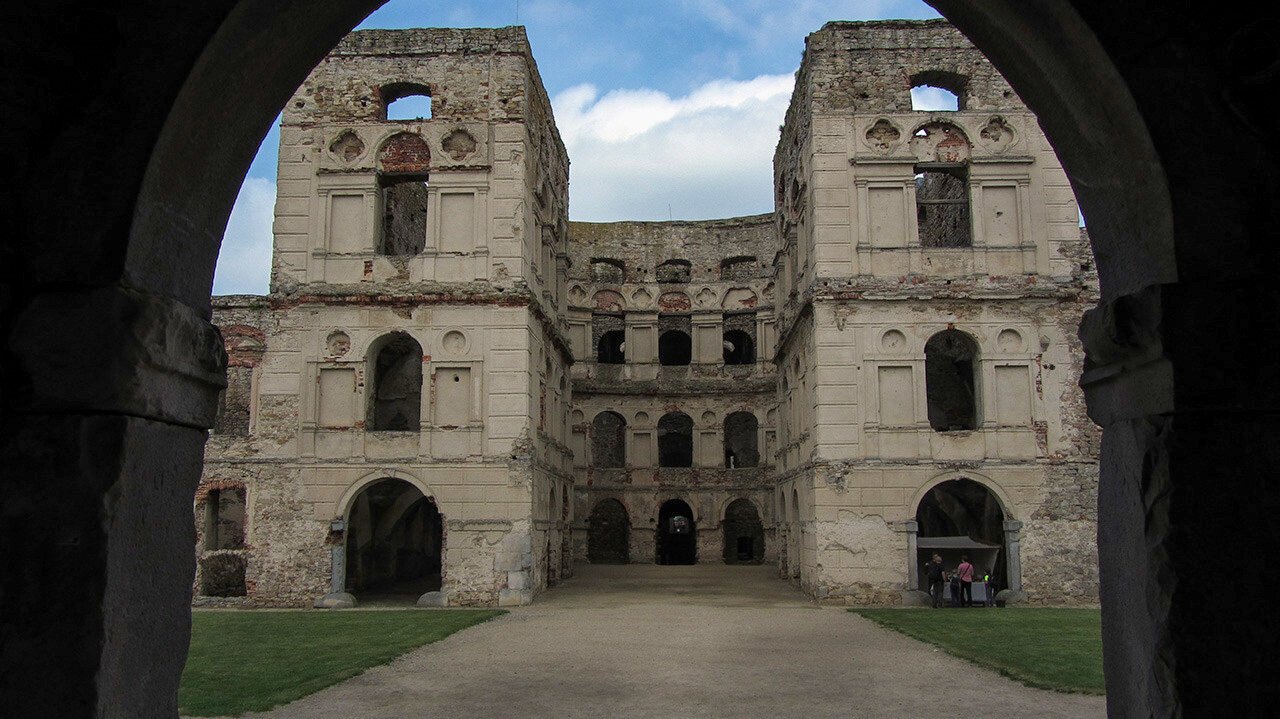
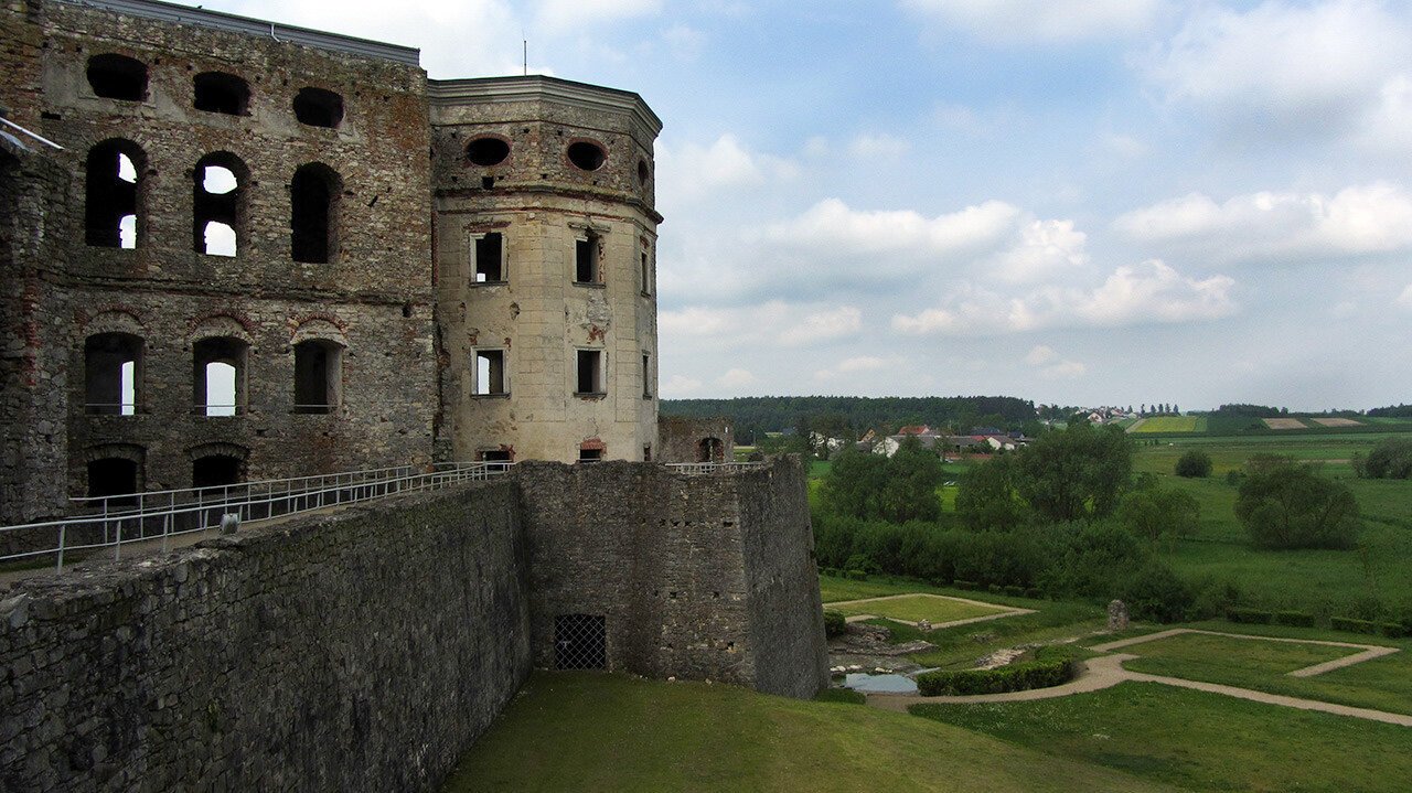
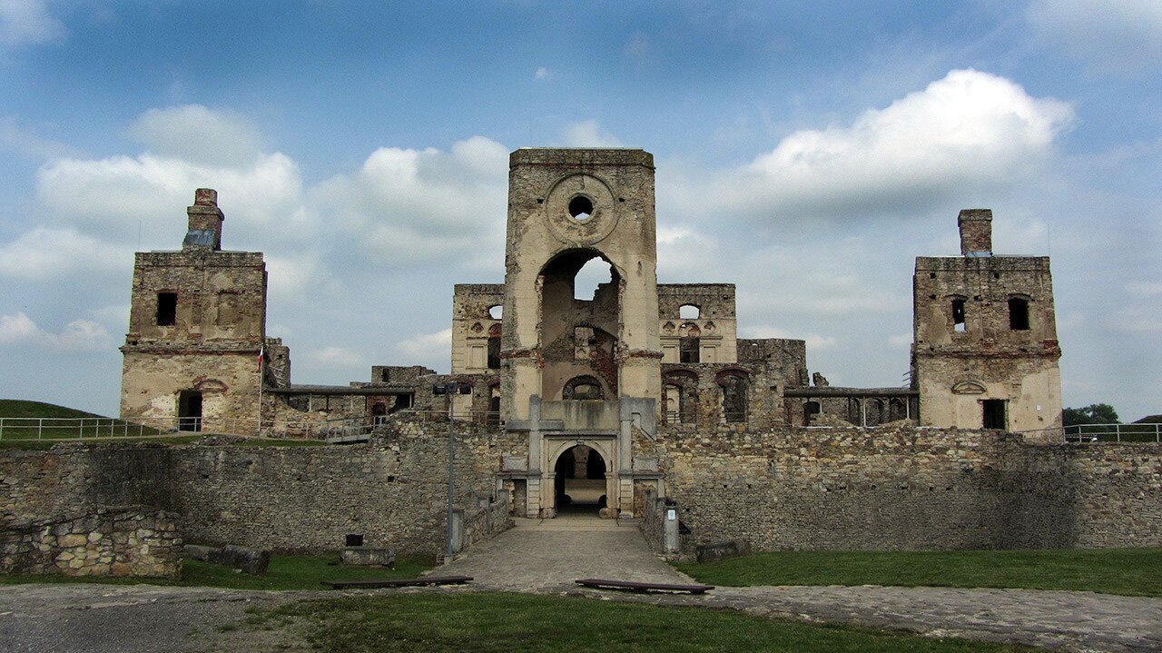
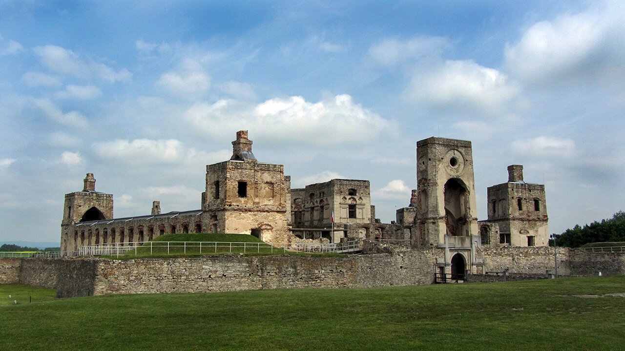
Galeria
https://turystyka-niecodzienna.pl/dag-fabrik-bromberg-linia-1-zelatynizacja/