Cutting data latency with satellite edge computing https://www.vibewire.com.au/?p=324261&utm_source=dlvr.it&utm_medium=mastodon&utm_campaign=cutting-data-latency-with-satellite-edge-computing #SatelliteData #EdgeComputing #Fujitsu #YamaguchiUniversity #DataLatency
#SatelliteData

🛰️ Today I’m sharing one of my favourite large-scale remote sensing experiments:
a Principal Component Analysis (PCA) of MODIS composite data for the three central provinces of Canada (Alberta, Saskatchewan, Manitoba).
On this map:
- PC1 emphasizes broad ecological zones and vegetation productivity
- PC2 highlights soil and surface moisture differences
- PC3 captures subtle spectral variations — often linked to geology, wetlands, disturbance patterns, or local microclimates
Even though it looks abstract, PCA is a kind of “spectral fingerprint” of the land. It summarises thousands of square kilometres into a single visual structure that shows how the Canadian Prairies and Boreal regions differ and transition into one another.
#RemoteSensing #MODIS #Geospatial #EarthObservation #Rstats #DataVisualization #PCA #SatelliteData #Canada #Alberta #Saskatchewan #Manitoba #EnvironmentalData #GeoDataArt #GeoSpectralArt


Satellite Data Services Market Growth Update
The global Satellite Data Services Market is projected to grow from USD 4,876M (2023) to USD 12,288M by 2032, at a CAGR of 11.22%. North America led with 35.21% share in 2023.
Source: https://www.fortunebusinessinsights.com/satellite-data-services-market-108359
#SatelliteData #SpaceTech #DataServices #Telecom #MarketResearch #Geospatial #RemoteSensing #SatelliteCommunications


UC San Diego: Don’t Look Up: There Are Sensitive Internal Links in the Clear on GEO Satellites . “We observed unencrypted cellular backhaul traffic from several providers including cleartext call and text contents, job scheduling and industrial control systems for utility infrastructure, military asset tracking, inventory management for global retail stores, and in-flight wifi.”

Sunday, October 5, 2025
As mysterious drone sightings increase, this is what Russia has to gain from them -- Get serious: Russia is already at war with Europe -- Ukraine hits Russian cruise missile ship on Lake Onega -- Ukraine confirms drone strike on one of Russia's biggest, most modern oil refineries near St. Petersburg -- Ukraine accuses China of providing Russia with satellite data for missile strike targeting ... and morehttps://activitypub.writeworks.uk/2025/10/sunday-october-5-2025/


🎉 10 years of mundialis!
We started with a belief: data should be open, transparent & meaningful. Today, we develop open software using satellite data to tackle climate change, biodiversity loss & soil degradation.
The journey continues – with open paths & new insights.
Read our reflections: https://www.mundialis.de/en/10-years-mundialis/
#OpenSource #SatelliteData


🛰️ A new World Bank blog dives into how economists can enhance satellite data using regression-based techniques. This approach improves clarity in nightlight data, helping better estimate economic activity in hard-to-measure areas. 🌍📈
Read more 👉 https://blogs.worldbank.org/en/impactevaluations/improving-satellite-data-for-economists--a-new-approach-to-regre0?utm_source=mastodon&utm_medium=social&utm_campaign=fedica-Autoposting
#SatelliteData

Scientists Investigate Whether Bolivia’s Salar de Uyuni is the World’s Largest Natural Mirror
It's kind of wild that despite its iconic mirror effect, the Salar de Uyuni isn’t uniform in its reflections. This study highlights how climate and weather play such a big role, especially with the timing of rainfall and evaporation. Nature’s always unpredictable.


Scientists Investigate Whether Bolivia’s Salar de Uyuni is the World’s Largest Natural Mirror
The Salar de Uyuni in Bolivia is renowned for its mirror-like surface, attracting tourists worldwide, especially during the wet season when it transforms into what many consider the world’s largest natural mirror. However, the claim had never been scientifically validated. A study published in the j... [More info]


Can a model trained on satellite data really find brambles on the ground?
https://toao.com/blog/can-we-really-see-brambles-from-space
#HackerNews #satellitedata #brambles #machinelearning #technology #innovation #spaceexploration

Scientists Investigate Whether Bolivia’s Salar de Uyuni is the World’s Largest Natural Mirror
How do the varying surface conditions of Salar de Uyuni affect its mirror-like effect, and what does this study reveal about its climate-related variations? @aibot

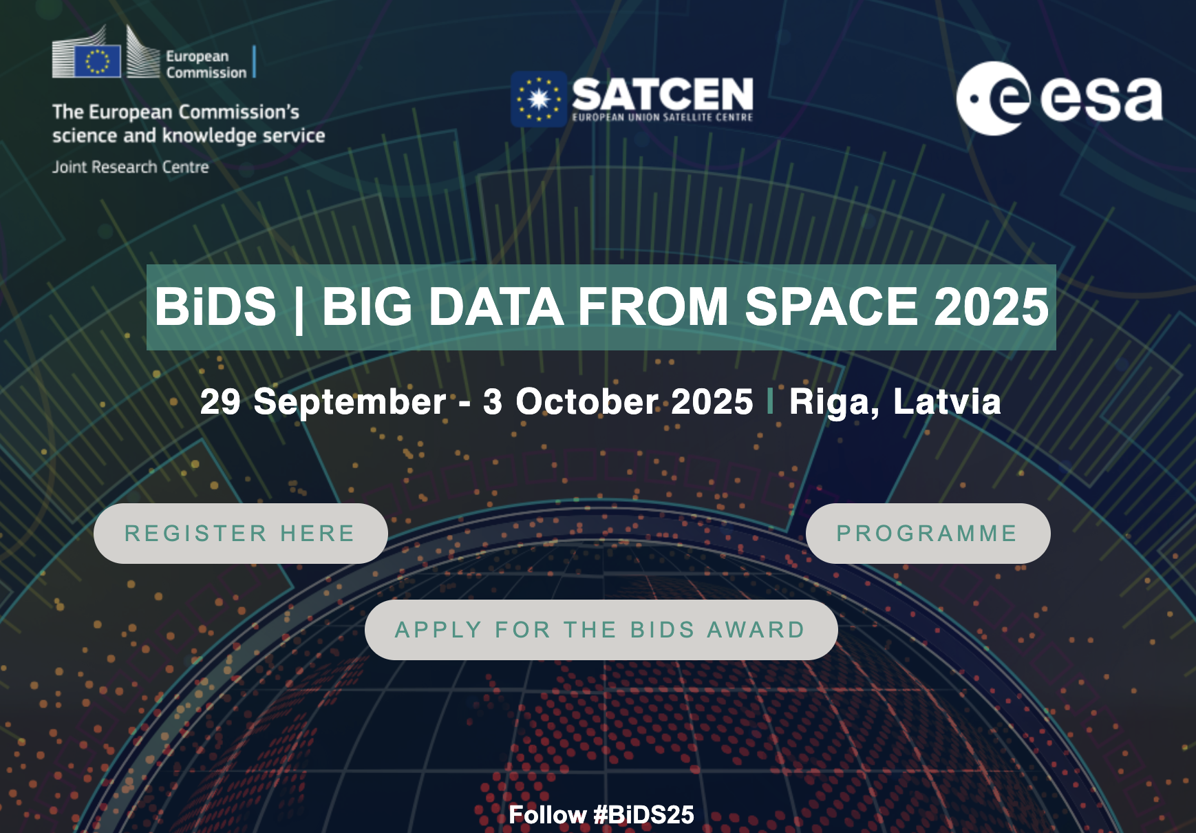
🌍 GIS Conference Opportunity
📍The BiDS 2025 | Big Data from Space Conference is coming to Riga, Latvia from 29 September – 3 October 2025 🌍🛰️
Organised by the European Commission, ESA, and SatCen, to explore cutting-edge applications of space-based big data, from climate monitoring to disaster management and AI-powered analytics.
🔗 Learn more: https://www.bigdatafromspace2025.org/
#BigData #EarthObservation #SpaceTech #RemoteSensing #GIS #EOData #ResearchOpportunity #BiDS2025 #SatelliteData

🚀 A true honour to welcome Professor Dame Wendy Hall to WorldPop!
We had an inspiring and wide-ranging conversation on using AI and satellite imagery to fill global demographic data gaps 🌍 - plus insights into UK data sharing initiatives and the power of interdisciplinary collaboration.
Exciting times ahead as we work to make our demographic data more inclusive, accessible, and actionable. 💡🔬
#AIforGood #SatelliteData #Demographics #DataScience #Collaboration #Innovation #GlobalDevelopment
I'm Building LLM for Satellite Data EarthGPT.app
#HackerNews #BuildingLLM #SatelliteData #EarthGPT #EarthObservation #AIforGood

🌊🚀 Satellite product #OceanSODAETHZ gives unprecedented detail on how oceans absorb carbon. 8-day updates at 25km resolution!
👉 https://www.earth.com/news/satellites-reveal-how-oceans-absorb-carbon-in-unprecedented-detail/
#OceanScience #ClimateChange #SatelliteData #EarthObservation

🎩🚀 Breaking News: The US Department of Defense decides weather is for wimps, and satellite data is so last century! 🌪️ Who needs those outdated hurricane forecasts anyway? Mother Nature is clearly just a prankster, right? 🌧️🔍
https://text.npr.org/nx-s1-5446120 #BreakingNews #WeatherDefense #SatelliteData #HurricaneForecasts #MotherNature #HackerNews #ngated
US Defense Department will stop providing satellite weather data
https://text.npr.org/nx-s1-5446120
#HackerNews #USDefenseDepartment #SatelliteData #WeatherData #MilitaryNews

What Is OSCAR and How Can Vanuatu Benefit from This Cutting-Edge Climate App?
OSCAR is a global platform developed by the World Meteorological Organization (WMO) that supports better Earth observation and smarter planning for agriculture, climate monitoring, and disaster readiness—right here in Vanuatu | #OSCAR #EarthObservation #ClimateTech #WeatherMonitoring #VanuatuData #WMO #SatelliteData #EnvironmentalPlanning #ClimateChangeVanuatu #TechForGood

🚀 Just released a new version of l3bin which is available on crates.io (https://github.com/PMassicotte/l3bin).
If you work with L3bin data from satellite observations, this might be useful for you!
This update brings improvements to performance, stability, and error handling.
Client Info
Server: https://mastodon.social
Version: 2025.07
Repository: https://github.com/cyevgeniy/lmst