After 12 yrs I might be losing my enthusiasm for graphic design as a career. It’s undervalued and under appreciated as a skill and salaries stagnating for the few jobs that remain.
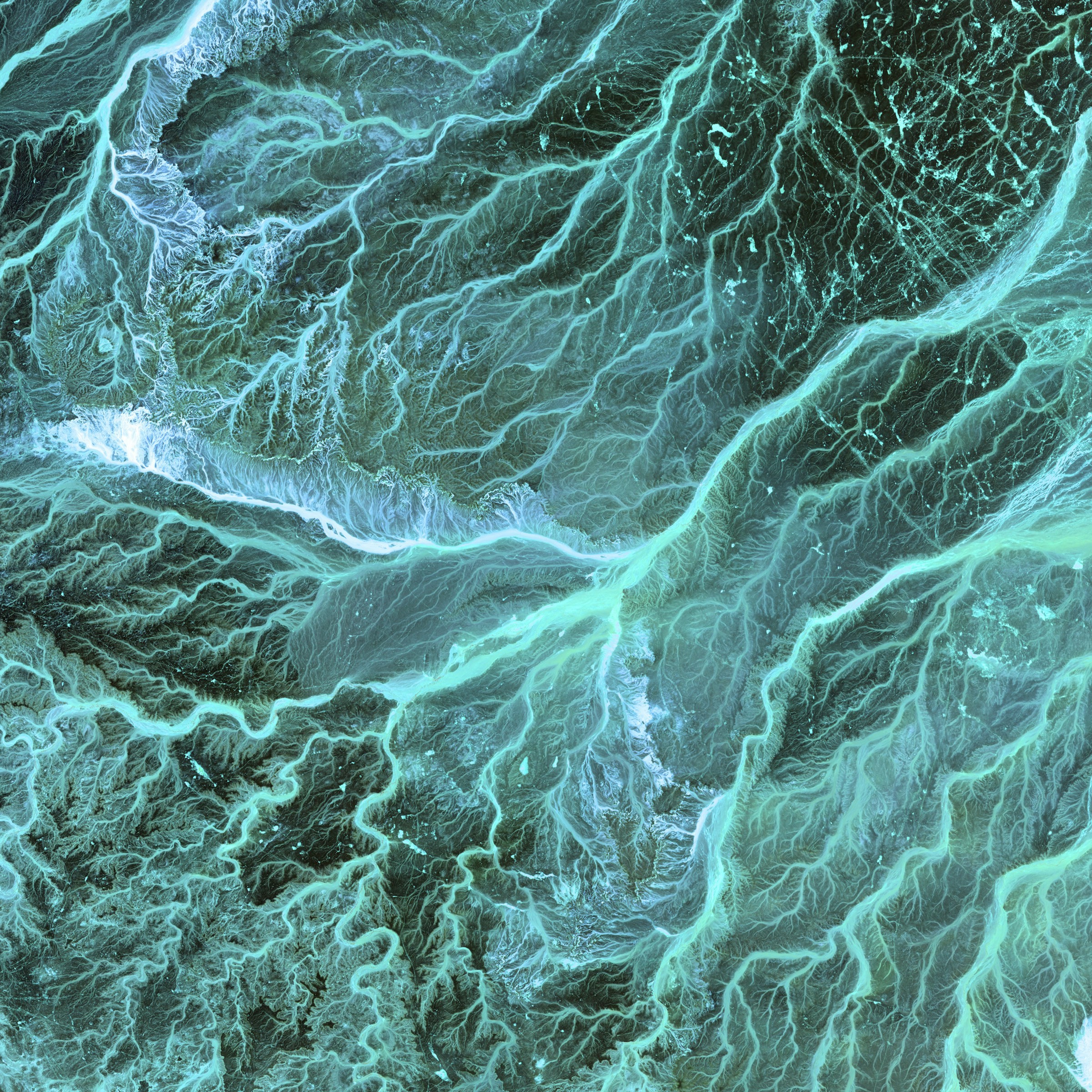
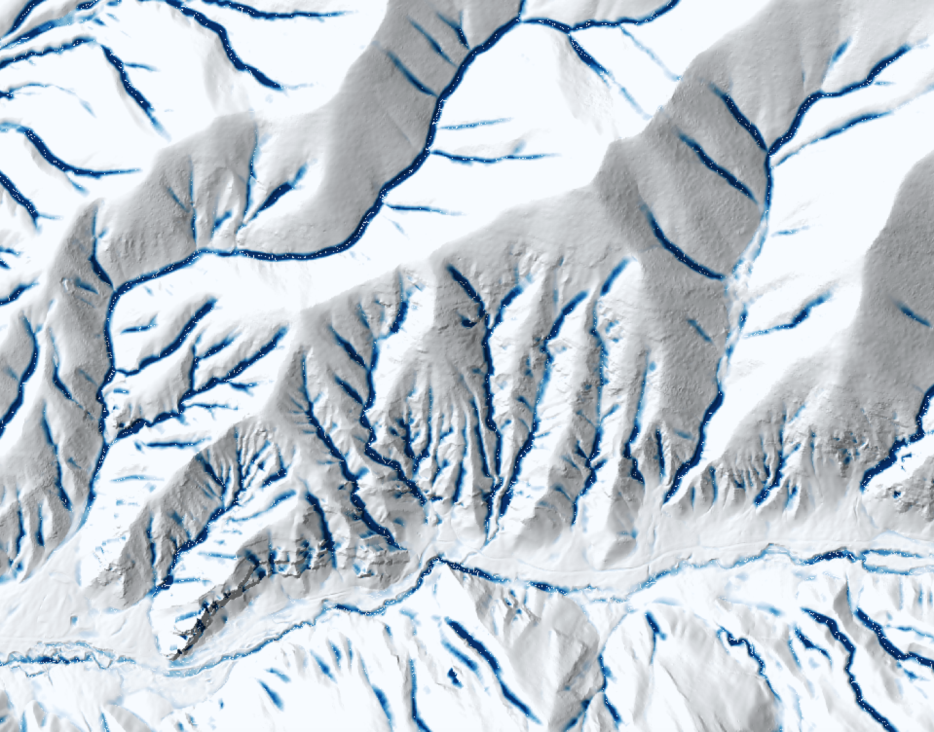
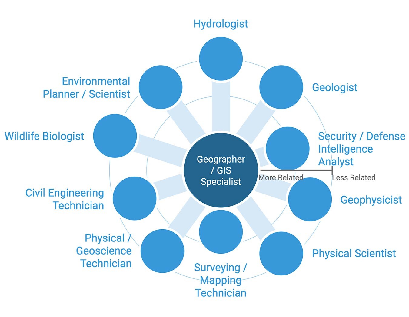
Thinking about pivoting to something like #UXdesign #uidesign #interactiondesign or #learningdesign and I’m also curious about #GISmapping but unsure where to start. I think ideally I need professional career guidance (if it exists for adults?)
Pls shout if you have any career change tips!