Trufi Association

Apps making sustainable mobility convenient for everyone. Open data for transport innovation, research, and better cities.
T: TrufiAssoc

2025-06-19

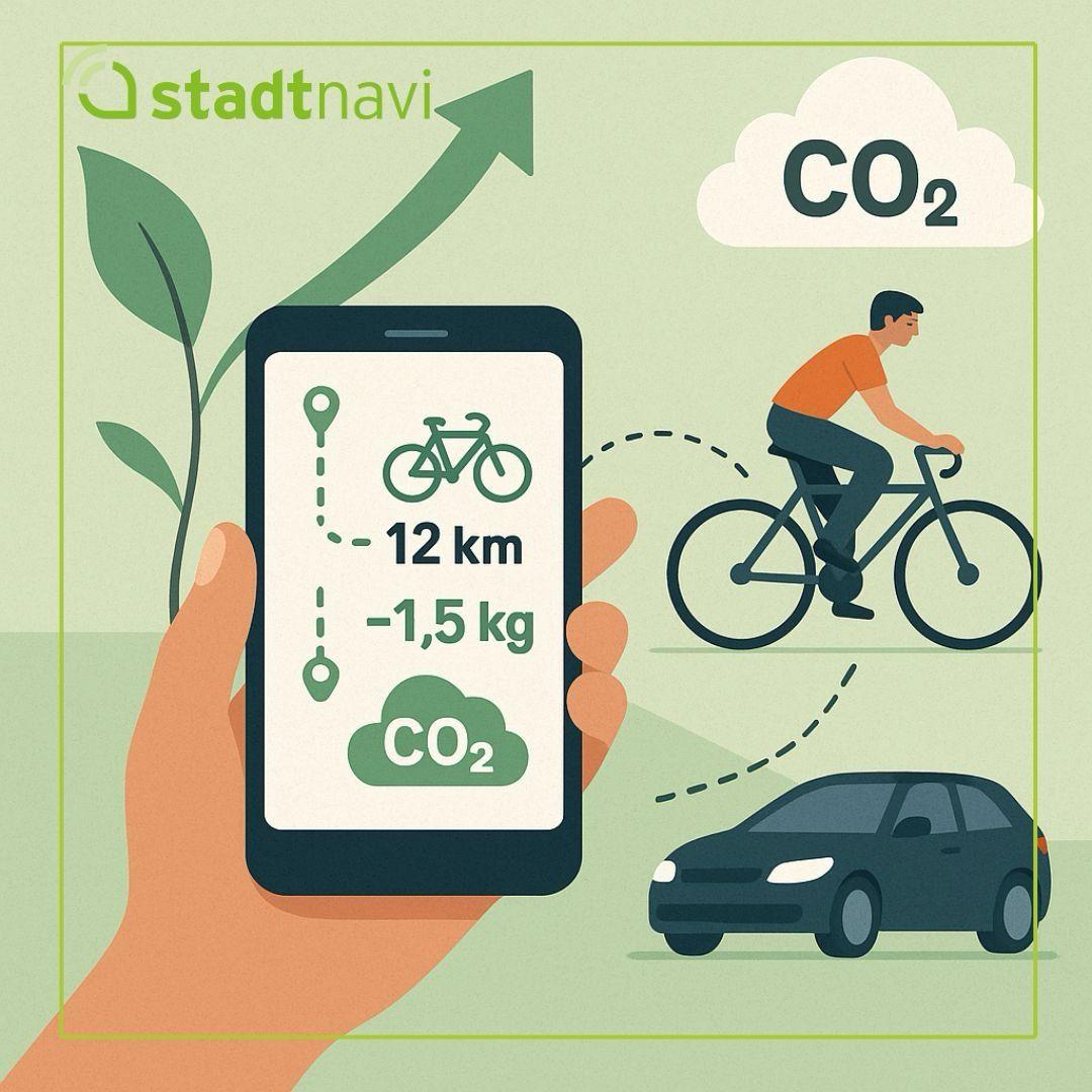
Only two-thirds of national climate plans mention public transport, and most focus solely on electrification. But you can't improve what you can't (or won't) measure.

via xitter @Cities_Today

cities-today.com/uitp-presiden

#UITPSummit #UITP2025 #cityplanning #urbanism #urbanplanner #urbanplanning #inclusiveplanning #SDG11 #Climate #climateaction #climatechange #ClimateJustice #opendata #opensource #FOSS #TrufiAssociation

2025-06-18

Showing environmental impact alongside route options empowers users to make climate-conscious decisions. The feature calculates and displays emissions for walking, cycling, public transport, and driving. Abstract environmental concepts become practical.

Since Trufi's code is open source, cities can implement CO₂ tracking without licensing or development barriers, enabling widespread adoption of tools that support both mobility and climate goals.

2025-06-18

In the Trufi-developed stadtnavi app for Herrenberg, Germany, real-time CO₂ emissions now appear for all transport modes. People can see the climate impact of their transport choices.

graphic: Mitmachstadt Herrenberg / stadtnavi

#UITPSummit #Climate #climateaction #Europe #Germany #Herrenberg #mobileapp #AppDevelopment #MobileApps #AppDesign #CustomApps #DigitalSolutions #opendata #opensource #FOSS #TrufiAssociation

Illustration showing a hand holding a smartphone displaying the stadtnavi app interface. The phone screen shows a bicycle icon, '12 km' distance, '-1.5 kg' CO₂ savings, and a green CO₂ cloud symbol. To the right, a person rides a bicycle with a dotted line connecting to a car below, representing transportation choices. A white CO₂ cloud appears in the upper right corner. The stadtnavi logo with a leaf symbol is in the top left, and an upward green arrow suggests positive environmental impact.
2025-06-18

Rwanda’s 6.6% GDP growth is faster than Africa’s average, and is already increasing congestion. The finding that riders have "no idea when buses come or which route they take" highlights a problem that Trufi is working on in Kigali: When incomes rise in the global South, unreliable transport pushes people toward private vehicles.

2025-06-18

Kigali’s junction upgrades are critical, but without improvements in public transport, rising vehicle traffic will erase their benefits.

attn xitter @smartcityhubrw

via bsky @itsinternational.bsky.social

"Rwanda's mobility plan in seven junctions"
itsinternational.com/feature/r

#Rwanda #Kigali #SmartCityHubRw #cityplanning #urbandesign #urbanplanning #inclusiveplanning #SDG11 #mapping #publictransit #publictransport #TrufiAssociation

Aerial view of a busy intersection in Kigali, Rwanda, showing a large crossroads with white striped crosswalks on all four sides. The center of the intersection is overlaid with a yellow grid pattern. Heavy traffic is visible with numerous cars lined up on the right side of the image, while crowds of people can be seen gathered near vehicles in the upper portion. The intersection is surrounded by paved areas, green spaces, and landscaping, illustrating the urban infrastructure improvements mentioned in Rwanda's junction upgrade plans.
2025-06-16

Our project in Toluca and Oaxaca—with Codeando México, and HOT. Community-led mapping can transform informal networks into structured, data-informed systems.

via GIZ Mexico

xitter @mapeadora @SmartCityLATAM @hotosm @CodeandoMexico

#Mexico #Oaxaca #Toluca #SalinaCruz #informaltransport #populartransport #mapping #GIS #GeospatialData #OpenStreetMap #HOTOSM #publictransit #publictransport #TransportationJustice #TrufiAssociation

2025-06-12

“Digitalizing transport routes through collaborative processes helps cities plan better" – Bon Squid, (right)

The future of mobility is built with communities, not for them.

xitter @SmartCityLATAM @hotosm @CodeandoMexico

#Mexico #GlobalSouthTransportMapping #mapping #GIS #GeospatialData #OpenStreetMap #TransportationJustice #Gender #TrufiAssociation

Six panelists standing together at a transportation conference, wearing conference badges and lanyards. From left to right: a woman in a black dress, a woman in a burgundy blazer holding what appears to be an award or certificate, a woman in a dark blue blazer, a bearded man in a dark blue shirt, a woman in a red blazer, and a man in a black t-shirt with a bicycle graphic and baseball cap (Juan Manuel Berdeja Maldonado). Behind them is a presentation screen with Spanish text about public transportation, and conference signage is visible in the background.
2025-06-11

Trufi's Leonardo Gutiérrez with Anahi Gonzalez at Smart City Expo LATAM in Mexico

Leo speaks today "Training for Mayors: Collaborative Mapping of Informal Transport."

Xitter @SmartCityLATAM @hotosm @CodeandoMexico

#Mexico #Oaxaca #Toluca #SalinaCruz #GlobalSouthTransportMapping #mapping #GIS #GeospatialData #OpenStreetMap #HOTOSM #TransportationJustice #Gender #Photography #OriginalPhoto #TrufiAssociation

Anahi Gonzalez and Leonardo Gutiérrez smiling together at Smart City Expo LATAM in Mexico
2025-06-05

Puerto Escondido and Salina Cruz’s transport networks are now where they belong: on the map

Community-led mapping in Oaxaca from our project with Codeando Mexico and HOTOSM.

via
LinkedIn @MapaData
Xitter @CodeandoMexico @hotosm

#Americas #NorthAmerica #Mexico #Oaxaca #Toluca #SalinaCruz #GlobalSouthTransportMapping #mapping #GIS #GeospatialData #OpenStreetMap #HOTOSM #TransportationJustice #TrufiAssociation

2025-06-05

New mappers were trained to document routes, tackle accessibility challenges, and strengthen local leadership in mobility. "Mapear es construir en comunidad" — mapping builds collective understanding. They're filling the gaps in maps and creating systems where informal transport is recognized, respected, and improved.

2025-06-05

An informal transport payment platform that uses WhatsApp as a front end

The solution meets people where they already are - in chat platforms and informal vehicles.

Via xitter @CapeTalk

youtu.be/zNHhiipx4WA

#Africa #SouthAfrica #informaltransport #populartransport #innovation #TransportationJustice #WhatsApp #TrufiAssociation

2025-06-04

Cities with strong OpenStreetMap communities don’t just have better transport data — they can have more equitable mobility.

via bsky @itsinternational.bsky.social

itsinternational.com/feature/b

#DataCollection #mapping #opendata #OpenStreetMap #TransportationJustice #Gender #TrufiAssociation

2025-05-29

Top-down "solutions" fail when they ignore local knowledge—like the 80% of workers who rely on informal jobs. Digitize informal minibuses, don't ban them; upgrade streets for walking and cycling, not just for cars.

2025-05-29
2025-05-28

Trufi, HOTOSM, and Codeando México are turning riders into public transport architects.

Via xitter @CodeandoMexico @SEMOVI_GobOax

#Mexico #Oaxaca #Toluca #SalinaCruz #mapping #GIS #GeospatialData #OpenStreetMap #HOTOSM #TrufiAssociation

Social post in Spanish about a Trufi-led mapping workshop in Salina Cruz, Oaxaca, where 16 youth mapped nearly all local public transport routes in one day using free software.
2025-05-27

The Duitama Mapping Stars have mapped public transport across two continents—from Kenya to Peru to Mexico. Now we need your help to send them to OpenStreetMap's biggest Latin American conference.

Donate Here: tinyurl.com/yqapg2gh

#OpenStreetMap #SotMLatam #TransportMapping #PublicTransport #TransportationJustice #SustainableMobility #OpenData #CommunityMapping #TrufiAssociation

2025-05-27

These skilled high school students from the Salesian School of Duitama have made contributions to transport mapping, tackling one of the most difficult and impactful kinds of OpenStreetMap work.

Their data enables cities to plan better and commuters to move easier through open data solutions. They've mapped informal transport networks in cities including Toluca, Oaxaca, Nairobi, Cochabamba, Arequipa, and Trujillo.

2025-05-27

Games leveraging open data educate and activate.

"City Bus Manager" and "Global Farmer" use OSM to orient players to real geography, with real-world impact. Players fix missing field boundaries, report map errors, and advocate for transport changes.

"We’ve heard stories of players who became interested in public transport as a career.”

Client Info

Server: https://mastodon.social
Version: 2025.04
Repository: https://github.com/cyevgeniy/lmst