
Whilst being the chairman of West Anglian #Orienteering Club means I need to prepare and deliver a talk at the AGM, the upside is I get to give out all the trophies celebrating our club's successes over the last year 🏆
#orienteering


5 additional sports have been added to strava. To much surprise orienteering was not one of them! But is one of them ”replacing sim card in iPhone”?
#orienteering #strava


Did my first #orienteering trailrun this morning. It was such great fun that I forgot to take pictures. #trailrunning

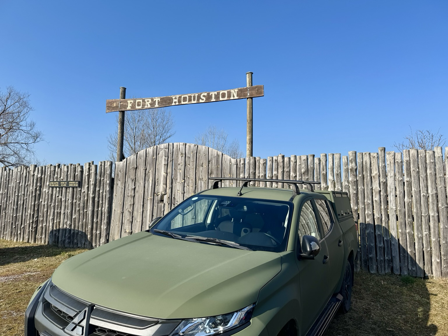
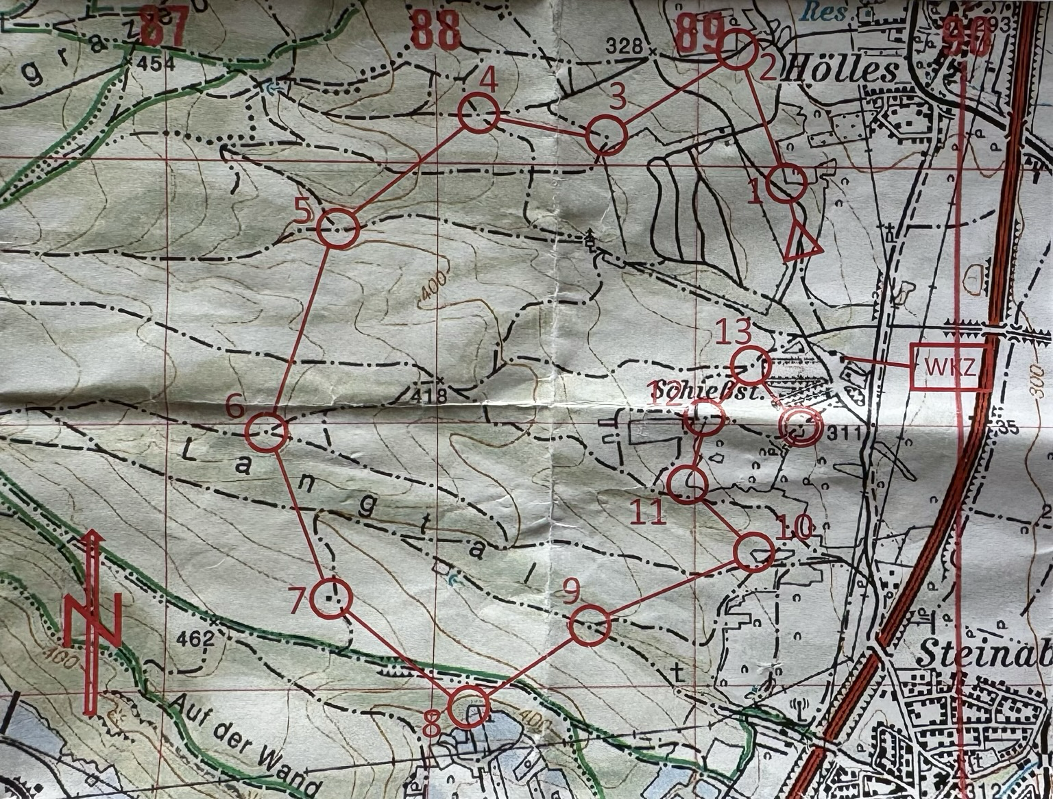
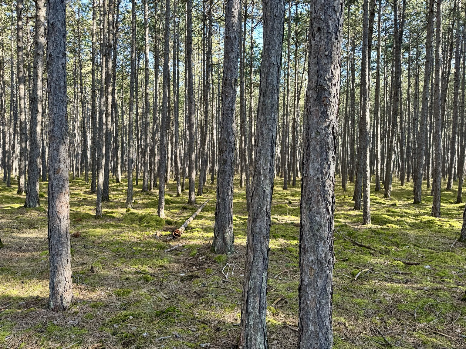
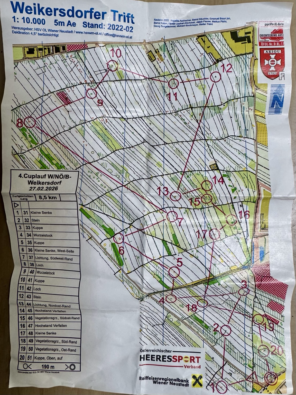
3rd orienteering race completed! 13 checkpoints, 16 km, 420 m EG. If you're used to psychedelic O maps with a luxurious scale of 1:10,000, then switching to military maps with a scale of 1:25,000 is difficult: there isn't much information, and I constantly underestimated the distances. But I mastered the challenging terrain all by myself! Rumor has it that it was some kind of record time – maybe that's why there was no one else in the finish area?
@damianlehmann
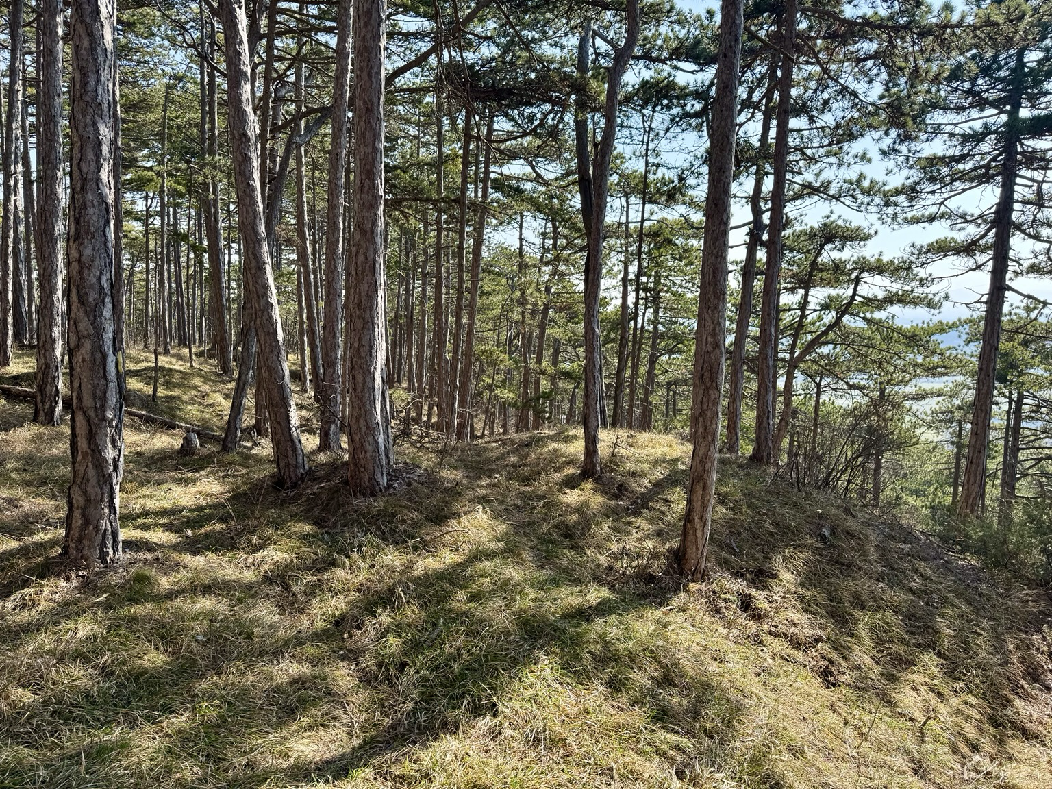
Eeek - Hilly!
Always afraid in places like that of dropping too low and having to haul my way back up to a control. Lovely and white though. #Orienteering #Maps
Insights from my 2nd orienteering race:
- 13 checkpoints are easy. 20 are a mental challenge!
- Sometimes a compass is not very helpful; it's better to count every blade of grass.
- After 50 minutes, it's easy to lose focus.
- Old runners make less mistakes. But sometimes even they can't see the forest for the trees.
- If you have the impression that you’ve visited 2 checkpoints in the wrong order, listen to the pros: “Don't always be so honest!”
I just registered for my first ever orienteering event.
6hrs of running around trying to find my way to checkpoints. I don't really know what to expect, but I am curious and willing to try.

#OrienteeringMapping #orienteering #OCAD
The recent Training for Orienteering Mapping beginners triggered some reflection process, how my own setup looked like if I would actually work with the OCAD app (and solely used OCAD Desktop to build the Field Set). Check out the descrption.
![Screenshot OCAD App on Android.
Setup for hybridal mapping [simple object mapped directly, complex object sketched]. Base maps: 1.25m contours, clearings, Vegetation Density in Running Layer, Slope.
20m mesh for checking out area, some custom area symbols to cover basemaps and fill sketched areas at the bottom of the map.
At the right hand you have the checkboxes to opt-in and out basemaps. Might hide these after good mixing is established.](https://files.mastodon.social/cache/media_attachments/files/116/136/274/190/045/454/original/25218bc5e45744bb.jpg)

#introduction
Lets sort things out the old fashioned way and enjoy every minute while working on it! (Preferably with an axe or a sword.)
Also do not forget to try new things especially if the old got broken. That is why I am here. Let's see where it goes...
#dad #music #metal #guitar #engineering #industrialautomation #diy #metalwork #softwaredev #backend #linux #books #hiking #canoe #motorcycles #photography #filmcamera #preservingtradition #baranta #hema #orienteering

Orienteering is such a perfect British* sport: you run around in the mud getting lost in the woods…
*I know it’s not from Britain
#orienteering
#OrienteeringMapping #Orienteering #SwissOrienteering
Ok. Round four for the annual Swiss Orienteering Mappers Beginner training in #Sursee.
My room got upgraded this year, such as I got this direct view on the training area (Haselwarten Wald).
Rare occasion for mapping from bed.😎🤣


For the first time: an orienteering trail (selfmade btw).
I decided to register for an orienteering race. So some practice could do no harm…
#orienteering #trailrunning
I decided to register for an orienteering race. So some practice could do no harm…
#orienteering #trailrunning

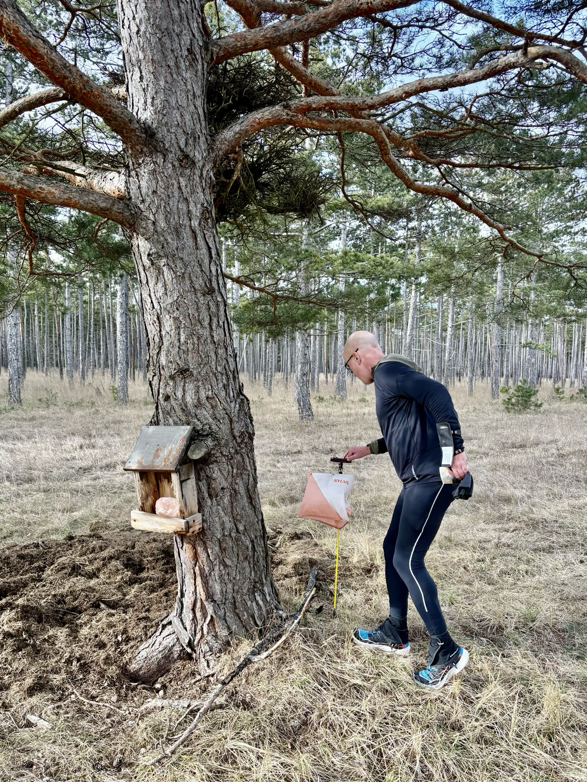
Premiere: My very first orienteering race was great fun! It was a long-distance race on a military training ground. For the first kilometer, I was very focused on mastering the start phase and finding the first control point. You only get the map at the start, which makes it particularly exciting. But I quickly got used to always thinking one step ahead. Still, I have a lot of experience to gain!
#Orienteering #Orientierungslauf #Trailrunning #RunnersOfMastodon #Running

Strangely nowadays I'm almost proud that #orienteering is not #olympic.
@simoncarswell Sprint #orienteering training is probably the best way to speed up. That and reading the map while running (but not tripping up!). Also remember that you can get so involved in decision-making that you spend more time making the decisions than time saved, i.e. don't agonise about picking the shorter of two routes if there's little difference.
Perhaps doing a few MapRun score courses would be handy as that requires a lot of planning ahead.

Another good result in the #Army #orienteering, this time at Hankley North. 28th /52, short green. I think my navigation's become quite reliable, but further improvement will require speeding up my decision making. Not sure how best to do that. Any advice?

Good morning to everyone else running through rocks and forests today, and if that's not your bag, good morning to you too. (Later edit - this is far too clean to be an injury, its preventative!) #orienteering

After a test run in orienteering. Even the napkin is perfectly aligned to the north.
#Orienteering #Orientierungslauf #Trailrunning #RunnersOfMastodon #Wien #Krapfen #Compass #Kompass

Good result, for me, in the #Army #orienteering event yesterday, at Congo Stream and Mytchett. 45th out of 63 qualifying finishers (ie not DNF or DSQ)., short green course. Happy because I'm usually close to last. Plus I ran off the map last time and lost 20 mins incompetently relocating. I'm not military, btw: civilians can enter.
Clocaenog, 1981. Even at the time this map felt a bit retro - 1:20000 scale and of an upland Sitka plantation. Does anyone still use them anymore - oh hello ELO.
The bit below the road to the south was used a bit later as Bod Petural. #OldOrienteeringMap #Orienteering #Map #DeesideOrieteeringClub

Client Info
Server: https://mastodon.social
Version: 2025.07
Repository: https://github.com/cyevgeniy/lmst