#osmAnd

Dustin Tungilik MacDonaldDustwin
2025-06-17
2025-06-17

@richlv

THX a lot for the info. :)

I recently 'banned' google maps from my devices, now using OSM instead, and am merrily learning how make best use of it.

On the smartphone I use #OSMAnd, it's just so cool to be able to use it even when I'm offline.

Marcos Dionemdione@en.osm.town
2025-06-16

@foxy I usually map them myself on the spot via #OsmAnd. Lately I've been taking pics with #Baba with the intention of uploading them to #Panoramax, but I can't select individual pics to do so; I usually do this when I can't stop for long to map in situ. So I end up reviewing them back home when I remember to do so.

2025-06-16

@tordans @peter ich persönlich nutze diese Daten zwar nicht automatisiert, sondern manuell um Wanderungen und Radtouren zu planen. Die Öffnungszeiten von Cafés, Restaurants, Läden etc. und aktuelle Kontaktdaten sind dabei enorm hilfreich.

Beispielsweise Radtour von Berlin südwärts durch den Spreewald. Route planen mit Bikerouter.de und dazu die Hotels, Restaurants, Cafés einblenden.

#osmand #bikerouter

Orni (widerborstig)Anarchoesel@chaos.social
2025-06-15

Warum ist bei OSM and die "kürzere Routen" Variante bei einer Strecke die längste?
Selbst unbefestigte Straßen bevorzugen, was ja oft abenteuerliche Umwege sind, ist kürzer und schneller.

Höhendaten werden nicht berücksichtigt und sonst sollte alles default sein.

#osmand #openstreetmap #osm

2025-06-15

@tbachner #osmand für unterwegs

Irgendwo kann man bei #OSMand die Fahrradkartenansicht zu default machen. Ich weiß nicht mehr wo und finde nix. Kann jemand helfen?

2025-06-13

Unterwegs auf #Radreise / #Radtour habe ich das Bedürfnis, meinen aktuellen Ort mit der geplanten Strecke und evtl. POIs entlang der Strecke in Einklang zu bringen.

Auf Android nutzte ich #OSMand und das war/ist super.

Unter #iOS gab es da IMHO nichts, was etwas getaugt hätte.

Bis ich auf #organicMaps stieß. Das Ding ist genial, offline, schnell, datensparsam, optisch hervorragend, die Navigation zum abendlichen Supermarkt klappt einwandfrei...

Ich bin auf die neue Version #CoMaps gespannt

Guilhem Bonnefilleguyou@framapiaf.org
2025-06-12

Je continue mes propres expérimentations #PANORAMAX avec mon matériel de fortune (ça me rappelle l'ère #UnPointCestTout avant #osm ).

Ce soir, je tente OpenCamera sur vélo : 1h de postprod pour redresser les photos.
Et une nouvelle fois, plein de photos refusées car colocalisées. Ca m'étonne. Mais à voir le tracé, on dirait que les positions ont été arrondies.

La prochaine fois je log avec #OSMand en parallèle.

2025-06-12

OsmAnd's Faster Offline Navigation

Details about OsmAnd's custom-built Highway Hierarchy (HH) Routing, useable on offline maps.

osmand.net/blog/fast-routing/

#routing #maps #osmAnd

2025-06-11

OsmAnd hat im Blog die neue Highway Hierarchy (HH) Routing-Engine vorgestellt, die bereits seit Anfang 2024 in der App steckt. Sie sorgt für deutlich schnellere Routenberechnungen, indem das Straßennetz in kleine Regionen mit gezielten Verbindungspunkten unterteilt wird.
Nutzer profitieren jetzt von bis zu 100-fach schnellerem Routing bei gewohnt flexibler Anpassbarkeit.

osmand.net/blog/fast-routing/
#OsmAnd #Routing #Navigation #OfflineRouting #HighwayHierarchy

OsmAnd's Faster Offline Navigation | OsmAnd

discuss.tchncs.de/post/38338475

2025-06-10

Ich habe soeben die aktuelle Version der OFM (OpenFietsMap) vom 07. Juni, in QMapShack installiert 🗺️ 🚲 😀

Auf meinem “Navi-Handy” ist die OpenStreetMap dank OsmAnd ja ohnehin immer aktuell.

Nicht, dass ich die neueste Version unbedingt brauchen würde, aber man weiß ja nie, wohin mich mein Fahrrad führt 😉

🔗 openfietsmap.nl/downloads/germ

#Rad #Fahrrad #Bike #Radtour #Navigation #Navi #QMapShack #OpenStreetMap #OsmAnd #OFM #OpenFietsMap

Bildbeschreibung:
Mein Navi-Handy, vor der aktuellen Kartenansicht von QMapShack.
Significant Ottermanu@freiburg.social
2025-06-09

I've been exclusively using #OsmAnd for many years, tried #organicMaps and didn't stick with it because I had gotten very used to the esoteric ways of using the former.

But I always believed that #googlemaps is that magical superpowered-by-data app that gives me all the convenience if I only sacrifice all of my privacy, which I didn't want to do.

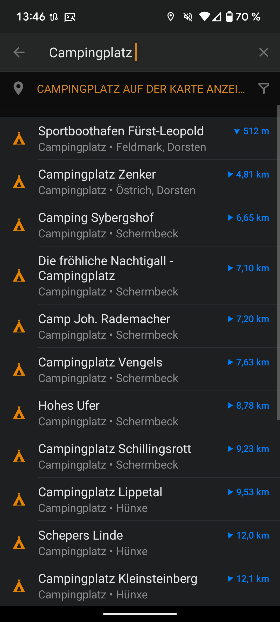
But now I've tried it for a long trip for the first time and man was I disappointed. Roads cannot be found because they're abbreviated, similar roads in nearby towns are recommended instead without a hint to that fact.

Even the strongest feature - live traffic-based routing - was a bit weird, recommending routes with a higher expected duration than another similar one.

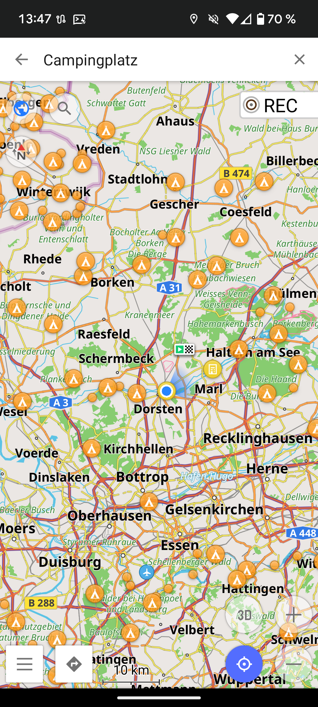
Now I just have to figure out why osmand wants be to be a boat in any routing mode and I'll be back to my #foss normal.

2025-06-09

@akkana @mark In my opinion, navigation on #OSMand is actually superior to Google maps for walking and cycling!

Guilhem Bonnefilleguyou@framapiaf.org
2025-06-08

1 heure devant moi et un beau soleil §
Je sors mon vélo, j'allume #osmand et je pars photographier des panneaux de rando pour #PANORAMAX
De retour à la maison, l'enregistrement #GPS n'a pas fonctionné ni même pour les photos. 😟

Bon ben j'ai une 50 aine de photos sans géoloc... je sais pas trop ce que je vais en faire.

Jan-Lukas Elseen@jlelse.blog
2025-06-08

Live tracking solution for OsmAnd

jlelse.blog/dev/osmand-live-tr

Gemischtwahnladenrwaschbaer@punkstodon.de
2025-06-07

Hej liebe #wandern und #osm freaks!
Gibt es für #openstreetmaps #osmand offene wanderkarten/routen? Vergleichbar #komoot (was ich auch noch nicht kenne)? Darf auch gern ne eigene App sein...
Merci!
(edith: es geht nach Frankreich)

Toni Hermoso Pulidotoniher@cau.cat
2025-06-07

Quan vaig a córrer per la muntanya 🌄 acostumo a planificar la ruta amb #OSMAnd (una aplicació mòbil basada @osmcatala@mastodont.cat). A vegades miro d'improvisar i explorar nous corriols, que llavors s'incorporaran en l'amalgama de fragments per configurar rutes futures. Per a fer-ho, exporto la traça GPS de l'aplicació del meu rellotge esportiu ⌚ i la importo en el web de l'OpenStreetMap (https://www.openstreetmap.org/traces - Més informació a: https://wiki.openstreetmap.org/wiki/Upload_GPS_tracks). Tot seguit miro de dibuixar i desar els corriols resseguint la traça importada.

Cada mes hi ha actualitzacions de mapes a l'OSMAnd i el més segur és que les contribucions fetes s'hi hagin incorporat. Amb això, ja puc marcar noves rutes i permetre que altres corredors o excursionistes 🥾 també se'n puguin beneficiar.

2025-06-06

@mfuhrmann

#osmand hat nichts mit #openstreetmap zu tun.

Es nutzt nur die Karten von #openstreetmap

#OrganicMaps ist wohl am Ende und es wird wohl dafür einen Fork, #CoMaps, geben

#LibreOffice und etliches mehr fehlt mir da auch.

Auch #fdroid

@ct_3003_team

Client Info

Server: https://mastodon.social
Version: 2025.04
Repository: https://github.com/cyevgeniy/lmst