#QGIS 3.44 Visual Changelog
https://www.youtube.com/watch?v=5a02yaDKAiE
#gis #gischat
#GISChat
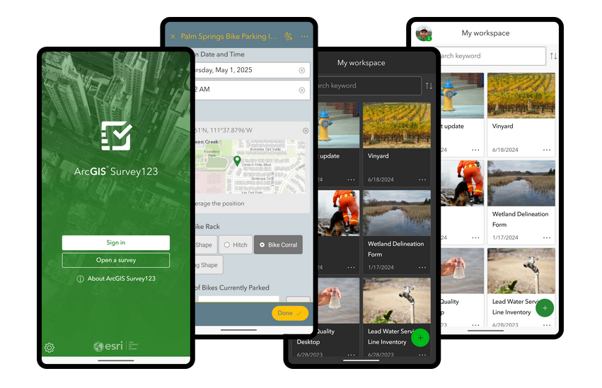
Next Generation of #ArcGIS #Survey123 https://tinyurl.com/2jmpyrkd
#DataCollection #forms #surveys #mobile #GIS #esri #ArcGISSurvey123 #ArcGISApps #GISchat #geospatial #mapstodon @esri @esrifederalgovt @esrislgov @arcgisapps @esritraining @urisa
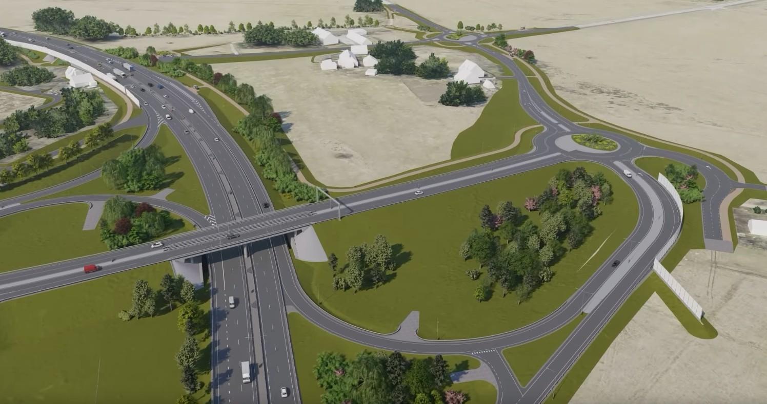
I need two kinds of tools. First, to make a rendering of roads and crudely drawn buildings around. That's for demonstrating how to rebuild a street to add cycle lanes and wider sidewalks. And trees. Nothing too flashy, but should be understandable and fly-able over in a video. Like the first picture.
Second, I have a photo, and want to add greenery, cycle lanes, walkways, remove cars maybe, though not important. Create before-and-after shots, like the second picture. #gischat

Earlier this month, #TomPatterson released a free (public domain) print-quality physical map of maritime Southeast Asia. It could actually almost double as a map of SEA except the northern part of Myanmar is cut off. 🗺️
https://shadedrelief.com/island-se-asia/
A couple comments about the #Philippines 🇵🇭 portion: Mayon should’ve been included in the peaks and the choice of spelling is unusual (e.g., “Pulog” instead of “Pulag”). But the map is excellent otherwise.
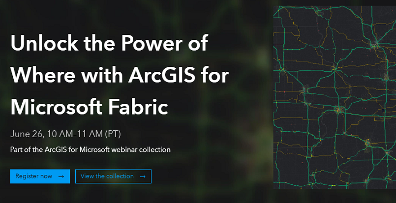
In 1 week, @esri webinar: Unlock the Power of #Where with #ArcGIS for #MicrosoftFabric https://tinyurl.com/yzy832tu
#location #spatial #business #intelligence #geospatial #GIS #esri #GISchat #DataScience #Microsoft #mapstodon @microsoft @MS @Businessweek @BusinessInsider @esrifederalgovt @esritraining
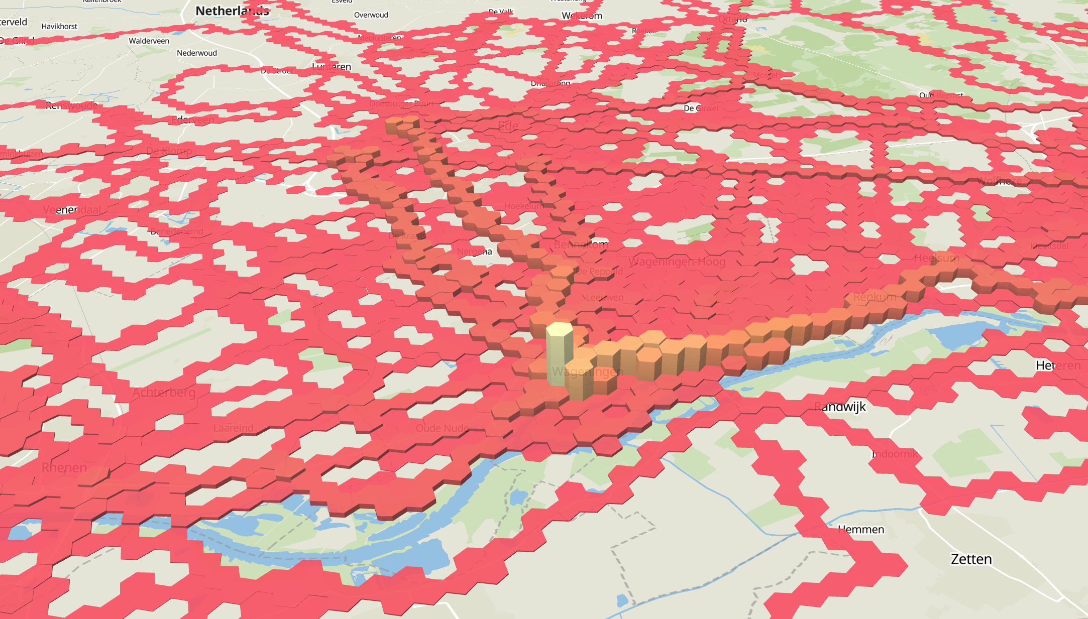
The exploring continues, decided to plot the with #maplibre using #pmtiles and some extrusion based on the unique activity count per hexagon.
Pretty awesome. Finding the right color palette is difficult though. Anyone any online resources with some background info about that?
PyQGIS-Video: Massenberechnung mit QGIS / Mass calculation with QGIS https://geoobserver.de/2025/06/19/pyqgis-video-massenberechnung-mit-qgis/ #qgis #switch2qgis #gistribe #gischat #fossgis #foss4g #OSGeo #spatial #geospatial #opensource #mapping #DataViz #gis #geo #geoObserver pls RT via @PyQgis
Cadence Maps: #CadenceMaps is a prototype cloud-native data service delivering #OpenStreetMap #OSM data for the Germany-Austria-Switzerland-Liechtenstein region as #GeoParquet files using a unified schema. The platform currently offers administrative boundaries...
https://spatialists.ch/posts/2025/06/18-cadence-maps/ #GIS #GISchat #geospatial #SwissGIS
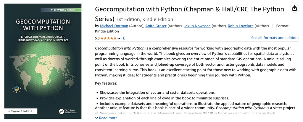
We’re happy to see the first review of Geocomputation with Python — thanks to everyone reading and sharing!
Read about the project:
🔗 https://geocompx.org/post/2025/geocompy-bp2/

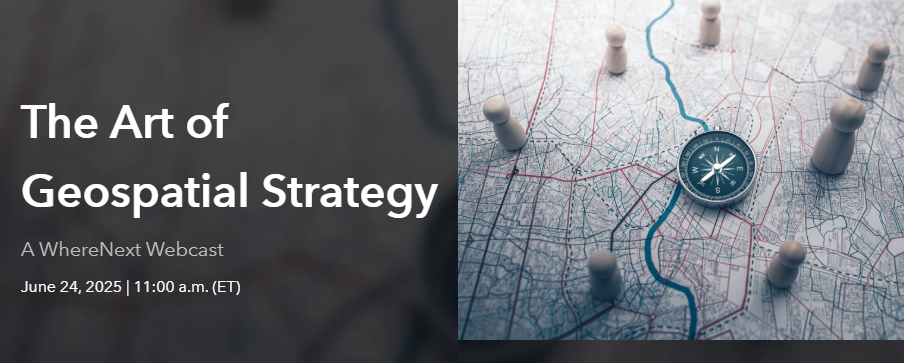
In 1 week, @esri webcast: The Art of #Geospatial #Strategy https://tinyurl.com/bdv4hfuu
#location #spatial #business #intelligence #GIS #GISchat #planning #esri #arcgis @esrifederalgovt @esrislgov @esritraining @BusinessInsider
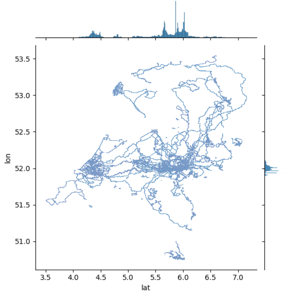
Plotted 4.5 million points of my Strava activity in a specific country.
Without any contextual information, I guess it's not that hard to guess the country?
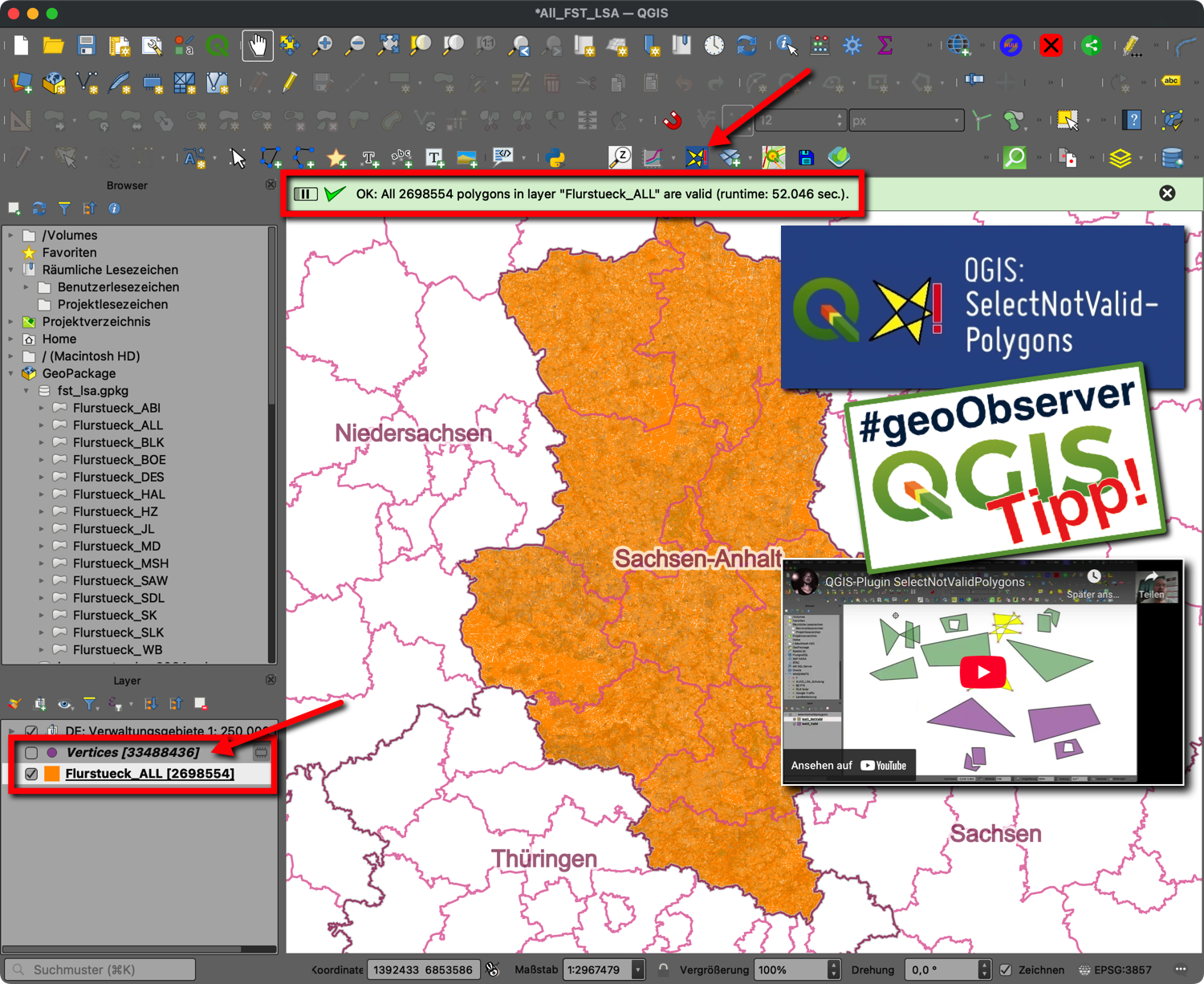
QGIS-Tipp: Plugin “SelectNotValidPolygons” https://geoobserver.de/2025/06/18/qgis-tipp-plugin-selectnotvalidpolygons/ #qgis #switch2qgis #plugin #gistribe #gischat #fossgis #foss4g #OSGeo #spatial #geospatial #opensource #gis #geo #geoObserver pls RT
hey #gischat does anyone know how to turn off the REMARKABLY irritating tooltip-on-hover thing when georeferencing points in Arc Pro?
The most important geospatial software?: I like the occasional bold theory. A month ago, Drew Breunig blogged about a very bold one: #DuckDB probably being the most important geospatial software of the last decade. What gives?
https://spatialists.ch/posts/2025/06/17-the-most-important-geospatial-software/ #GIS #GISchat #geospatial #SwissGIS
Next week I’ll be at the LPS conference in Vienna! 🌍🛰️
If you’re around and would like to meet up to chat about geocomputation, open science, or anything related, let me know!

#ArcGISPro at the 2025 #Esri User Conference https://tinyurl.com/3cdnedcb
#EsriUC2025 #UC2025 #GIS #arcgis #GISChat #geospatial #mapping #spatialAnalysis @esri @esriuc @esrifederalgovt @esrislgov @arcgispro @esritraining @urisa

Schade: Microsoft beendet freie Bing Maps-Dienste bis Ende Juni 2025 / Too bad: Microsoft is discontinuing free Bing Maps services by the end of June 2025 https://geoobserver.de/2025/06/16/schade-microsoft-beendet-freie-bing-maps-dienste-bis-ende-juni-2025/ #osm #openstreetmap #gistribe #gischat #fossgis #foss4g #OSGeo #spatial #geospatial #gis #geo #geoObserver pls RT

A new VerySpatial podcast is out! Recreatus, Episode 01, listen to it here: https://veryspatial.com/2025/06/recreatus-episode-01/
#GIS #GISChat
Client Info
Server: https://mastodon.social
Version: 2025.04
Repository: https://github.com/cyevgeniy/lmst